Beatland Plantation

Wood, Forest in Somerset Somerset West and Taunton

England

Beatland Plantation

View across Lype Common
View across Lype Common Credit: thejackrustles

Beatland Plantation is a sprawling estate located in Somerset, an idyllic countryside region known for its lush woodlands and enchanting forests. Situated amidst the natural beauty of the area, this plantation is a haven for nature lovers and those seeking tranquility away from the bustling city life.

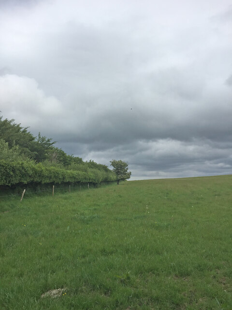
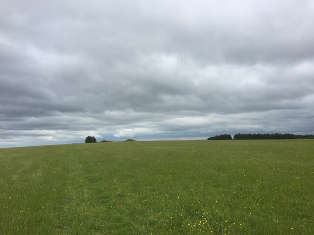
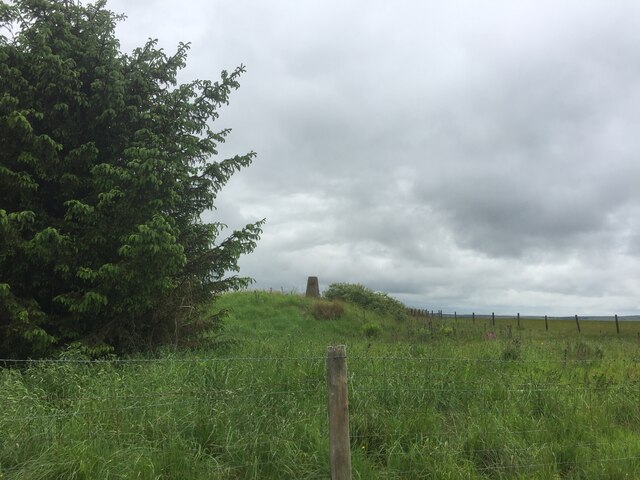
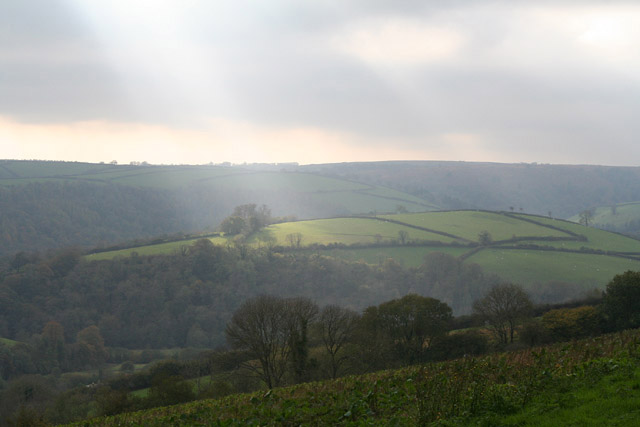
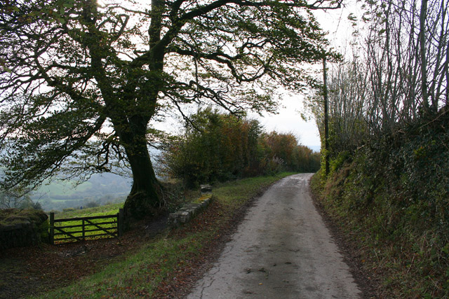
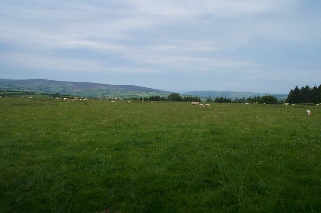
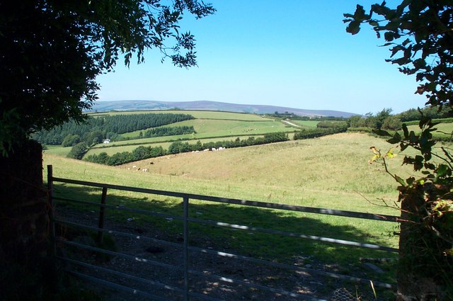
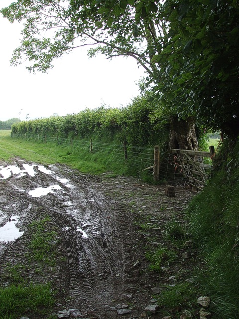
Covering a vast area of land, Beatland Plantation is characterized by its dense woodlands and picturesque forested areas. The plantation boasts a diverse range of trees, including oak, maple, and pine, which contribute to the stunning landscape. The forest is home to a myriad of wildlife, with deer, foxes, and various bird species frequently spotted by visitors.

The plantation offers numerous recreational activities for visitors to enjoy. Nature enthusiasts can explore the extensive network of hiking trails that wind their way through the plantation, offering breathtaking views of the surrounding woodlands. Additionally, there are designated areas for picnicking and camping, allowing visitors to fully immerse themselves in the beauty of the natural surroundings.

Beatland Plantation also has a rich history. Originally established in the early 19th century, it served as a working plantation, primarily cultivating crops such as tobacco and cotton. Today, remnants of the plantation's past can still be seen, with historic buildings and structures preserved as a testament to its heritage.

In conclusion, Beatland Plantation in Somerset is a captivating destination that offers visitors a chance to connect with nature and experience the serenity of the countryside. With its stunning woodlands, abundant wildlife, and rich history, it serves as a testament to the beauty and charm of the region.

If you have any feedback on the listing, please let us know in the comments section below.

Beatland Plantation Images

Images are sourced within 2km of 51.111057/-3.5114287 or Grid Reference SS9435. Thanks to Geograph Open Source API. All images are credited.

View across Lype Common
View towards Lype Hill Trig Point
Lype Hill Trig Point Flush Bracket S3930
Exton: near Stone Lane Exmoor’s heights in the distance, beyond the Quarme valley; a field of kale in the foreground. Looking south-west
Exton: near Stone Lane
Exmoor’s heights in the distance, beyond the Quarme valley; a field of kale in the foreground. Looking south-west
Exton: Stone Lane Looking west-south-west near Stone Lodge
Exton: Stone Lane
Looking west-south-west near Stone Lodge
Bridleway at White Moor, near Lype Hill A public Bridleway, now part of the Coleridge Way long distance path, runs across this field from where the photo was taken. Obviously not used by horses, nor by many people!
Bridleway at White Moor, near Lype Hill
A public Bridleway, now part of the Coleridge Way long distance path, runs across this field from where the photo was taken. Obviously not used by horses, nor by many people!
Heath Poult Cross Looking east along the B3224, which runs along the top of the Brendon Hills
Heath Poult Cross
Looking east along the B3224, which runs along the top of the Brendon Hills
Telecoms Tower at Lype Common This massive tower dominates the skyline along the B3224 on the Brendon Hills. It is sited at one of the highest points, 400 metres above sea level.
Telecoms Tower at Lype Common
This massive tower dominates the skyline along the B3224 on the Brendon Hills. It is sited at one of the highest points, 400 metres above sea level.
Looking west from Quarme Lane In the foreground; Quarme Combe.In the distance; Dunkery Beacon.
Looking west from Quarme Lane
In the foreground; Quarme Combe.In the distance; Dunkery Beacon.
Exton: at Broad Lane Head Looking east towards the valley of the Pulham River
Exton: at Broad Lane Head
Looking east towards the valley of the Pulham River
Exton: Broad Lane Looking west-south-west in the direction of Exton village where the lane descends at 1 in 4
Exton: Broad Lane
Looking west-south-west in the direction of Exton village where the lane descends at 1 in 4
Muddy field entrance near Exton Hill A minor road runs almost parallel with the A396 to the west as it gradually climbs Exton Hill. This view is along a hedgerow separating fields to the east of this lane.
Muddy field entrance near Exton Hill
A minor road runs almost parallel with the A396 to the west as it gradually climbs Exton Hill. This view is along a hedgerow separating fields to the east of this lane.
Near Exton Hill Taken from a gateway on the eastern side of the lane that climbs Exton Hill looking down the lane in the direction of Broad Lane Head. As may be discerned from the photo it was raining quite heavily when I took this shot, the rain showing as diagonal streaks on the photo. Fortunately it was only a passing shower !
Near Exton Hill
Taken from a gateway on the eastern side of the lane that climbs Exton Hill looking down the lane in the direction of Broad Lane Head. As may be discerned from the photo it was raining quite heavily when I took this shot, the rain showing as diagonal streaks on the photo. Fortunately it was only a passing shower !
Exton Hill Looking up the lane which climbs Exton Hill. It is quite a gentle hill climbing 23m (75') in 730m (798yds), from 326m (1070') at Broad Lane Head to 349m (1145') at Exton Hill a rake of about 1:30
Exton Hill
Looking up the lane which climbs Exton Hill. It is quite a gentle hill climbing 23m (75') in 730m (798yds), from 326m (1070') at Broad Lane Head to 349m (1145') at Exton Hill a rake of about 1:30
Lambs in the lane These lambs got rather concerned as I approached in the car - running first one way then the other in and out of the hedgerow (see <a href="https://www.geograph.org.uk/photo/455446">SS9534 : Baaaa !</a>). Hopefully they were reunited with their mum soon afterwards. This lane is a quiet road mainly linking farms to the west of Exton. This particular stretch is between Armoor and Goosemoor farms.
Lambs in the lane
These lambs got rather concerned as I approached in the car - running first one way then the other in and out of the hedgerow (see SS9534 : Baaaa !). Hopefully they were reunited with their mum soon afterwards. This lane is a quiet road mainly linking farms to the west of Exton. This particular stretch is between Armoor and Goosemoor farms.
Baaaa ! The lambs seen in <a href="https://www.geograph.org.uk/photo/455442">SS9534 : Lambs in the lane</a> - somewhat closer as they discovered that they couldn't get back into their field at this point so sprang back into the road.
Baaaa !
The lambs seen in SS9534 : Lambs in the lane - somewhat closer as they discovered that they couldn't get back into their field at this point so sprang back into the road.
Armoor Farm The entrance to Armoor Farm. The lane past this farm which starts as Stolford Hill, mostly links farms together in this very rural part of Somerset.
Armoor Farm
The entrance to Armoor Farm. The lane past this farm which starts as Stolford Hill, mostly links farms together in this very rural part of Somerset.
Track to Weekfield This track leads to Weekfield Farm. It continues as a footpath out to Exton Hill just south of Vinnicombe.
Track to Weekfield
This track leads to Weekfield Farm. It continues as a footpath out to Exton Hill just south of Vinnicombe.
Show me another place!

Beatland Plantation is located at Grid Ref: SS9435 (Lat: 51.111057, Lng: -3.5114287)

Administrative County: Somerset

District: Somerset West and Taunton

Police Authority: Avon and Somerset

What 3 Words

///quilt.junction.years. Near Dulverton, Somerset

Nearby Locations

Beatland Plantation

Related Wikis

Brendon Hills

The Brendon Hills are a range of hills in west Somerset, England. The hills merge level into the eastern side of Exmoor and are included within the Exmoor...

Gupworthy railway station

Gupworthy (sometimes referred to as "Goosemoor") was originally intended as an intermediate station on the West Somerset Mineral Railway (WSMR), but neither...

St Peter's Church, Exton

The Anglican St Peter's Church at Exton within the English county of Somerset has a 13th-century tower and 15th century aisle. It is a Grade II* listed...

Exton, Somerset

Exton is a village and civil parish 5 miles (8 km) north-east of Dulverton and 9 miles (14 km) south-west of Dunster in Somerset, England. It lies on the...

Timberscombe

Timberscombe is a village and civil parish on the River Avill 2.5 miles (4 km) south-west of Dunster, and 5.5 miles (9 km) south of Minehead within the...

Cutcombe

Cutcombe is a village and civil parish 9 miles (14 km) south of Minehead and north of Dulverton straddling the ridge between Exmoor and the Brendon Hills...

Church of St John, Cutcombe

The Anglican Church of St John in Cutcombe, Somerset, England was built in the 13th and 14th centuries. It is a Grade II* listed building. == History... ==

St Mary's Church, Luxborough

The Anglican St Mary's Church at Luxborough within the English county of Somerset dates from the 13th century. It is a Grade II listed building.The chancel...

Have you been to Beatland Plantation?

Leave your review of Beatland Plantation below (or comments, questions and feedback).