Duvale Wood
Wood, Forest in Devon Mid Devon
England
Duvale Wood
Duvale Wood is a captivating forest located in Devon, England. Spanning over a vast area, it is a haven for nature enthusiasts and a popular destination for those seeking tranquility amidst the beauty of the countryside. The wood is situated in the picturesque village of Bampton, offering visitors a serene and peaceful environment.
The forest is predominantly composed of deciduous trees, creating a stunning display of vibrant colors throughout the year. During spring, the woodland floor is adorned with a multitude of wildflowers, while in autumn the trees transform into a mesmerizing blend of red, orange, and gold. The diverse array of plant life provides a rich habitat for a variety of wildlife, including deer, foxes, badgers, and a multitude of bird species.
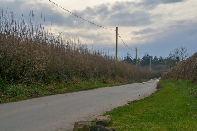
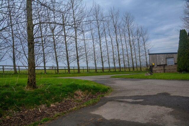
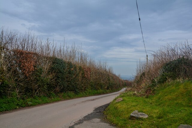
Duvale Wood boasts an extensive network of well-maintained walking trails, allowing visitors to explore its enchanting landscape at their own pace. These paths meander through ancient trees, babbling brooks, and hidden clearings, inviting adventurers to uncover the wood's hidden treasures. The forest is also home to a peaceful pond, which serves as a serene spot for reflection and relaxation.
For those seeking a deeper connection with nature, Duvale Wood offers camping facilities, allowing visitors to fully immerse themselves in the forest's beauty. The campsite provides basic amenities and the opportunity to spend peaceful nights under the starry sky, surrounded by the sounds of nature.
Overall, Duvale Wood is a captivating destination that showcases the natural beauty of Devon. With its diverse flora and fauna, well-maintained trails, and peaceful atmosphere, it is a must-visit location for anyone seeking a tranquil escape in the heart of the English countryside.
If you have any feedback on the listing, please let us know in the comments section below.
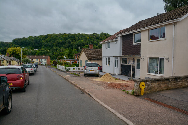
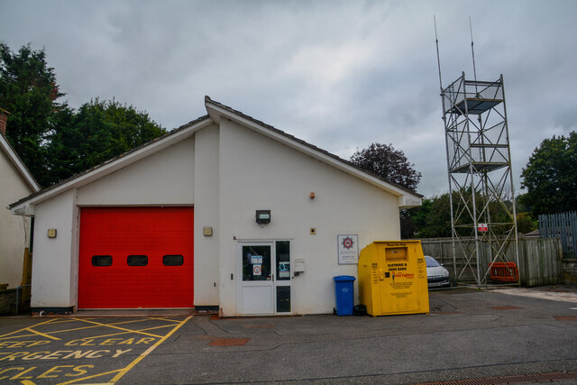
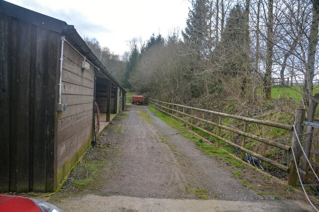
Duvale Wood Images
Images are sourced within 2km of 50.978364/-3.5110183 or Grid Reference SS9420. Thanks to Geograph Open Source API. All images are credited.


Duvale Wood is located at Grid Ref: SS9420 (Lat: 50.978364, Lng: -3.5110183)
Administrative County: Devon
District: Mid Devon
Police Authority: Devon and Cornwall
What 3 Words
///disbanded.bonkers.erase. Near Dulverton, Somerset
Nearby Locations
Related Wikis

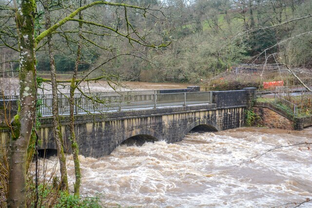
River Batherm
The River Batherm is a river which flows through Somerset and Devon in England. The river rises on high ground near the village of Sperry Barton, between...

Cove, Devon
Cove is a small village in the county of Devon, England. It is 4 miles north of Tiverton and 2 miles from Bampton in the Exe Valley some 450 feet above...

Bampton, Devon
Bampton is a small town and parish in northeast Devon, England, on the River Batherm, a tributary of the River Exe. It is about 6 miles (9.7 km) north...

Oakfordbridge
Oakfordbridge is a village in Devon, England. == References == The geographic coordinates are from the Ordnance Survey. == External links == Media related...

Bampton Castle, Devon
Bampton Castle in the parish of Bampton, Devon was the seat of the feudal barony of Bampton. It is located on a spur that overlooks the River Batherm....

Stoodleigh
Stoodleigh is a village and civil parish in the Mid Devon district of Devon, England, located 6 miles (10 km) north of Tiverton and 5 miles (8 km) south...

Castle Close
Castle Close is a circular earthwork located near Stoodleigh in Mid Devon, England at OS grid reference SS937181. It is described on maps as a settlement...

Oakford, Devon
Oakford is a village and civil parish in the Mid Devon district of Devon, England. It is located three miles (5 km) south west of Bampton and eight miles...
Nearby Amenities
Located within 500m of 50.978364,-3.5110183Have you been to Duvale Wood?
Leave your review of Duvale Wood below (or comments, questions and feedback).