Hatherlandmill Wood
Wood, Forest in Devon Mid Devon
England
Hatherlandmill Wood
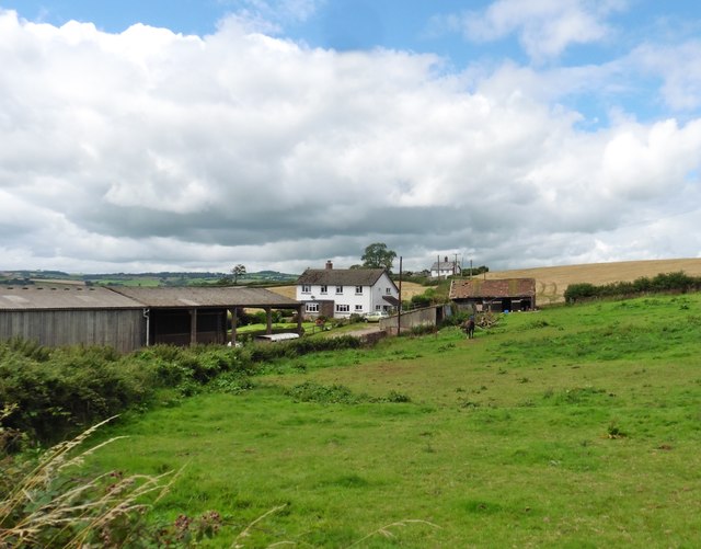
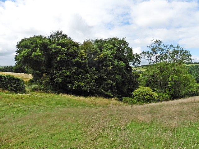
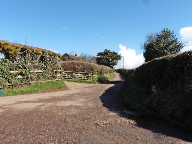
Hatherlandmill Wood is a picturesque forest located in Devon, a county in southwestern England. Spread across several acres of land, this enchanting wood is known for its natural beauty and diverse flora and fauna.
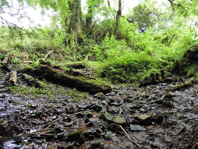
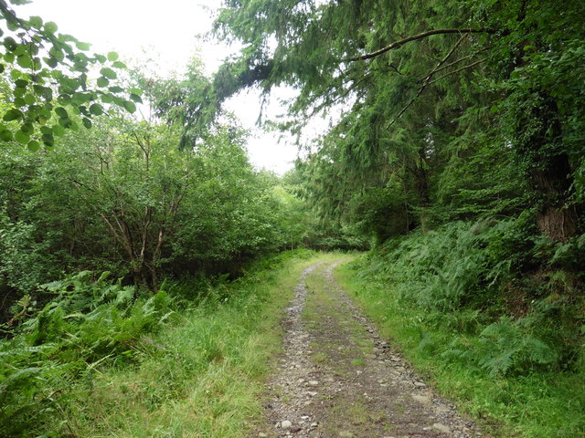
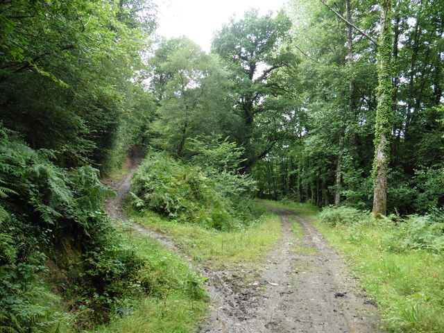
The wood is predominantly made up of deciduous trees, including oak, beech, and ash, which provide a stunning display of colors during the autumn season. The dense canopy of the trees creates a serene and peaceful atmosphere, making it a popular destination for nature enthusiasts and hikers.
The forest floor is adorned with a rich carpet of wildflowers, including bluebells, primroses, and foxgloves, which bloom in abundance during the spring months. This vibrant display of colors adds to the charm of Hatherlandmill Wood, attracting visitors from near and far.
The wood is also home to a variety of wildlife, including deer, badgers, and numerous species of birds. Birdwatchers can spot woodpeckers, nuthatches, and tawny owls among the branches, while lucky visitors may catch a glimpse of the elusive red squirrel darting through the trees.
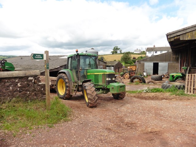
Several well-maintained footpaths wind their way through the wood, allowing visitors to explore its hidden treasures. These paths offer panoramic views of the surrounding countryside and provide opportunities for photography and peaceful walks.
Hatherlandmill Wood is a true haven for nature lovers, offering a tranquil escape from the hustle and bustle of everyday life. Its natural beauty and rich biodiversity make it a must-visit destination for those seeking a peaceful retreat in the heart of Devon.
If you have any feedback on the listing, please let us know in the comments section below.
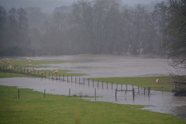
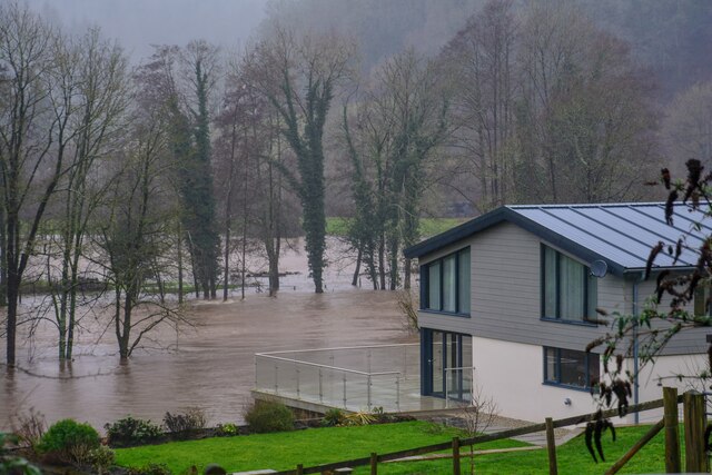
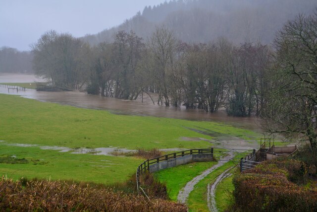
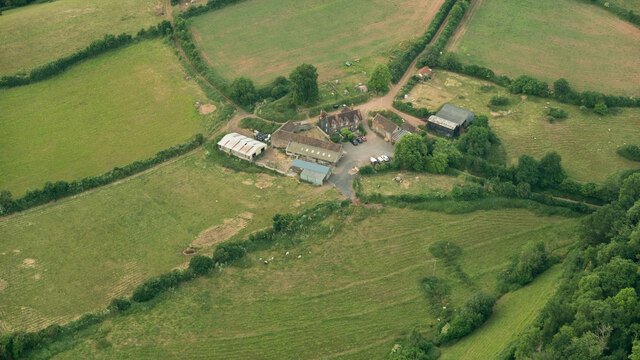
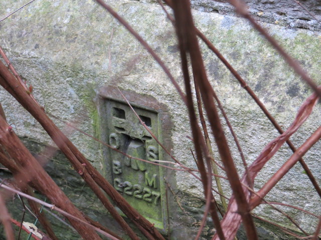
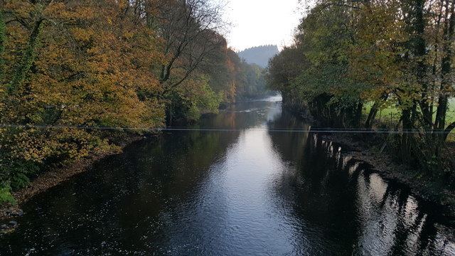
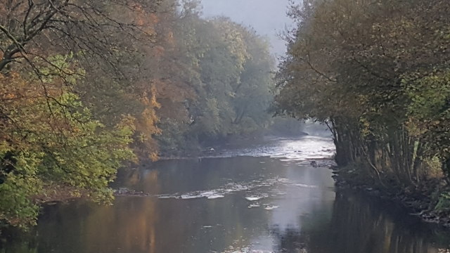
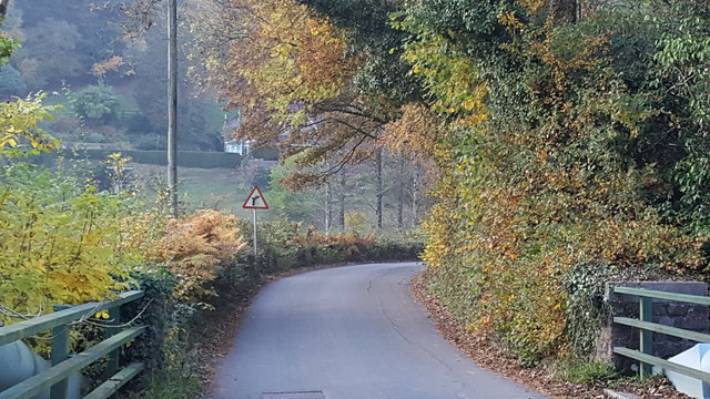
Hatherlandmill Wood Images
Images are sourced within 2km of 50.948008/-3.5100051 or Grid Reference SS9417. Thanks to Geograph Open Source API. All images are credited.

Hatherlandmill Wood is located at Grid Ref: SS9417 (Lat: 50.948008, Lng: -3.5100051)
Administrative County: Devon
District: Mid Devon
Police Authority: Devon and Cornwall
What 3 Words
///attracts.foggy.brave. Near Tiverton, Devon
Nearby Locations
Related Wikis

Castle Close
Castle Close is a circular earthwork located near Stoodleigh in Mid Devon, England at OS grid reference SS937181. It is described on maps as a settlement...

Washfield
Washfield is a village, parish and former manor in Devon, England, situated about 2 miles north-west of Tiverton. The parish church is dedicated to St...

Stoodleigh
Stoodleigh is a village and civil parish in the Mid Devon district of Devon, England, located 6 miles (10 km) north of Tiverton and 5 miles (8 km) south...

Cove, Devon
Cove is a small village in the county of Devon, England. It is 4 miles north of Tiverton and 2 miles from Bampton in the Exe Valley some 450 feet above...

Knightshayes Court
Knightshayes Court is a Victorian country house near Tiverton, Devon, England, designed by William Burges for the Heathcoat-Amory family. Nikolaus Pevsner...

Loxbeare
Loxbeare is a village and civil parish in Devon, England. The church is from the twelfth century and the tower is probably Norman. It is dedicated to St...

River Batherm
The River Batherm is a river which flows through Somerset and Devon in England. The river rises on high ground near the village of Sperry Barton, between...

Calverleigh
Calverleigh (anciently Calwoodleigh) is a village and former civil parish and manor, now in the parish of Loxbeare, in the Mid Devon district, in the county...
Nearby Amenities
Located within 500m of 50.948008,-3.5100051Have you been to Hatherlandmill Wood?
Leave your review of Hatherlandmill Wood below (or comments, questions and feedback).