Rock Wood

Wood, Forest in Devon Mid Devon

England

Rock Wood

Knightshayes Court walled kitchen garden
Knightshayes Court walled kitchen garden Credit: Mark Percy

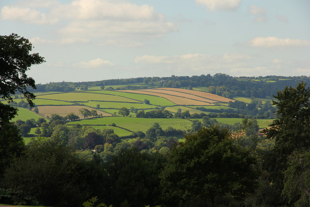
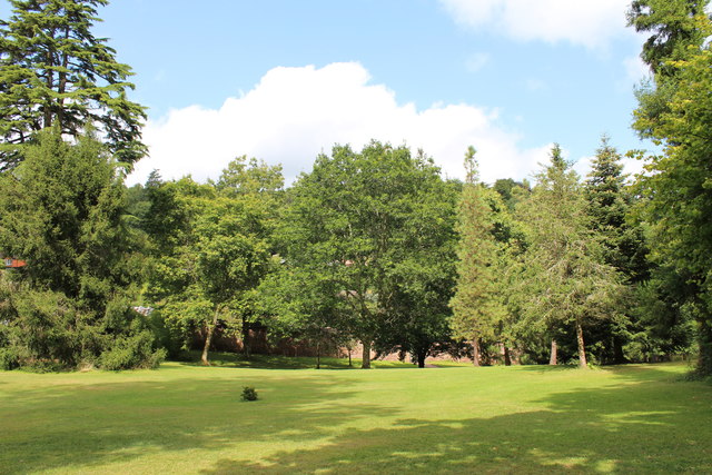
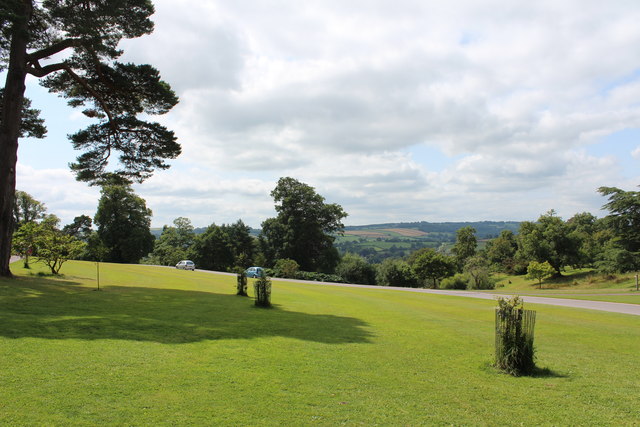
Rock Wood is a scenic forest located in the county of Devon, England. Nestled within the heart of the countryside, it covers an area of approximately 500 acres and is known for its natural beauty and diverse wildlife.

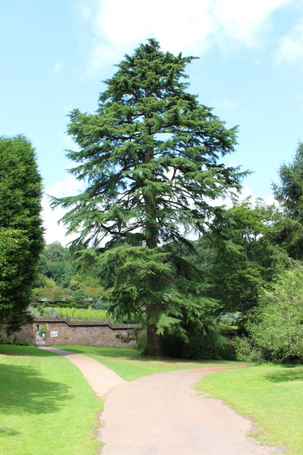
The woodland is predominantly composed of ancient, broadleaf trees such as oak, beech, and ash, which create a dense canopy overhead, providing shade and shelter for the abundance of flora and fauna that call this forest home. The forest floor is covered in a thick carpet of moss and ferns, adding to the enchanting atmosphere.

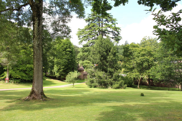
Rock Wood is a popular destination for nature enthusiasts and outdoor adventurers alike. It offers a network of well-maintained walking trails, which wind their way through the forest, allowing visitors to explore its hidden treasures. Along these trails, one can discover natural springs, babbling brooks, and even the occasional waterfall, adding to the allure of this picturesque woodland.

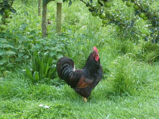
The forest is also home to a variety of wildlife, including deer, foxes, badgers, and a myriad of bird species. Birdwatchers can delight in the opportunity to spot elusive woodpeckers, owls, and various songbirds that populate the area.

Rock Wood is not only a haven for nature lovers but also serves as an important site for conservation efforts. The forest is carefully managed to preserve its ecological balance and protect its unique biodiversity.

Overall, Rock Wood in Devon is a captivating destination for those seeking tranquility, natural beauty, and the opportunity to connect with the wonders of the natural world.

If you have any feedback on the listing, please let us know in the comments section below.
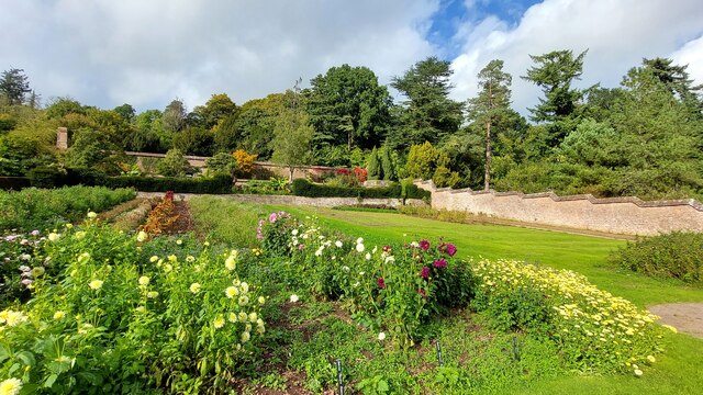
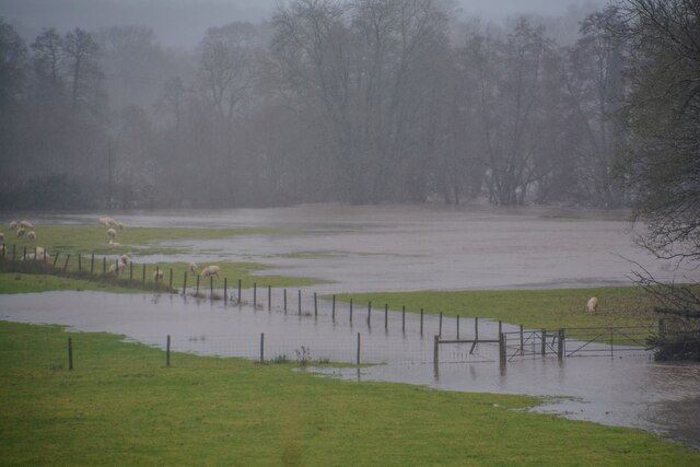
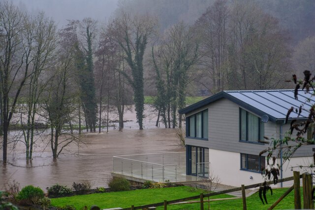
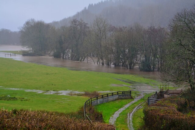
Rock Wood Images

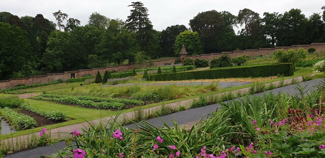
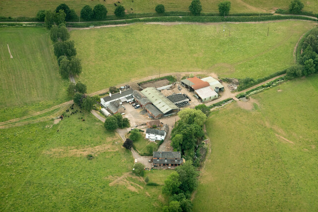
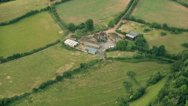
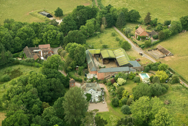
Images are sourced within 2km of 50.943169/-3.4968238 or Grid Reference SS9417. Thanks to Geograph Open Source API. All images are credited.

Knightshayes Court walled kitchen garden
Tiverton : Grassy Field Looking towards sheep trying to avoid the flooded River Exe.
Tiverton : Grassy Field
Looking towards sheep trying to avoid the flooded River Exe.
Tiverton : River Exe Looking down to the flooded River Exe.
Tiverton : River Exe
Looking down to the flooded River Exe.
Tiverton : Grassy Field Looking across the countryside and towards the River Exe floodplain.
Tiverton : Grassy Field
Looking across the countryside and towards the River Exe floodplain.
Walled garden at Knightshayes Court The garden is on a hill so has stepped walls all around the perimeter. It is managed by the National Trust.
Walled garden at Knightshayes Court
The garden is on a hill so has stepped walls all around the perimeter. It is managed by the National Trust.
Marsh Farm
Marsh Farm
Marley Farm
Marley Farm
Knightshayes Home Farm
Exe Valley view Knightshayes parkland and farmland in the Exe Valley
Exe Valley view
Knightshayes parkland and farmland in the Exe Valley
The guardian of the orchard.  Scrumping ?  Don't even think about it Taken in the Walled Garden at Knightshayes Court
The guardian of the orchard. Scrumping ? Don't even think about it
Taken in the Walled Garden at Knightshayes Court
Entrance to the Walled Garden, Knightshayes Court, Tiverton Devon
Ordnance Survey Flush Bracket G2227 This can be found on the wall of Riverside Lodge at Iron Bridge.
For more detail see : <span class="nowrap"><a title="http://www.bench-marks.org.uk/bm14323" rel="nofollow ugc noopener" href="http://www.bench-marks.org.uk/bm14323">Link</a><img style="margin-left:2px;" alt="External link" title="External link - shift click to open in new window" src="https://s1.geograph.org.uk/img/external.png" width="10" height="10"/></span>
Ordnance Survey Flush Bracket G2227
This can be found on the wall of Riverside Lodge at Iron Bridge. For more detail see : LinkExternal link
Knightshayes, National Trust (5) This photograph <a href="https://www.geograph.org.uk/photo/4876893">SS9615 : Knightshayes, National Trust  (3)</a> shows another view of Knightshayes.
Knightshayes, National Trust (5)
This photograph SS9615 : Knightshayes, National Trust (3) shows another view of Knightshayes.
Knightshayes, National Trust  (6) This photograph <a href="https://www.geograph.org.uk/photo/4876058">SS9615 : Knightshayes, National Trust (1)</a> shows another view of Knightshayes.
Knightshayes, National Trust (6)
This photograph SS9615 : Knightshayes, National Trust (1) shows another view of Knightshayes.
Knightshayes, National Trust  (7) This photograph<a href="https://www.geograph.org.uk/photo/4876852">SS9615 : Knightshayes, National Trust (2)</a> shows another view of Knightshayes.
Knightshayes, National Trust (7)
This photographSS9615 : Knightshayes, National Trust (2) shows another view of Knightshayes.
Knightshayes, National Trust (9) This photograph <a href="https://www.geograph.org.uk/photo/4876963">SS9615 : Knightshayes, National Trust  (7)</a> shows another view of Knightshayes.
Knightshayes, National Trust (9)
This photograph SS9615 : Knightshayes, National Trust (7) shows another view of Knightshayes.
Knightshayes, National Trust (10) This photograph <a href="https://www.geograph.org.uk/photo/4876957">SS9615 : Knightshayes, National Trust  (6)</a> shows another view of Knightshayes.
Knightshayes, National Trust (10)
This photograph SS9615 : Knightshayes, National Trust (6) shows another view of Knightshayes.
Mid Devon : Horse Show A horse show taking place near Tiverton.
Mid Devon : Horse Show
A horse show taking place near Tiverton.
Show me another place!

Rock Wood is located at Grid Ref: SS9417 (Lat: 50.943169, Lng: -3.4968238)

Administrative County: Devon

District: Mid Devon

Police Authority: Devon and Cornwall

What 3 Words

///young.rigs.definite. Near Tiverton, Devon

Related Wikis

Castle Close

Castle Close is a circular earthwork located near Stoodleigh in Mid Devon, England at OS grid reference SS937181. It is described on maps as a settlement...

Washfield

Washfield is a village, parish and former manor in Devon, England, situated about 2 miles north-west of Tiverton. The parish church is dedicated to St...

Knightshayes Court

Knightshayes Court is a Victorian country house near Tiverton, Devon, England, designed by William Burges for the Heathcoat-Amory family. Nikolaus Pevsner...

Cove, Devon

Cove is a small village in the county of Devon, England. It is 4 miles north of Tiverton and 2 miles from Bampton in the Exe Valley some 450 feet above...

Stoodleigh

Stoodleigh is a village and civil parish in the Mid Devon district of Devon, England, located 6 miles (10 km) north of Tiverton and 5 miles (8 km) south...

Tiverton Cemetery

Tiverton Cemetery is the burial ground for the town of Tiverton in Devon. The cemetery covers eight acres and is owned and maintained by Mid Devon Council...

Tiverton High School

Tiverton High School is a state secondary school located in Tiverton, Devon, England. It is located on the outskirts of the town, and has a close working...

Chevithorne

Chevithorne (grid reference SS9715) is a small village near Tiverton, Devon. It lies three miles to the North East of Tiverton. 'Chenetorne' is identified...

Nearby Amenities

Located within 500m of 50.943169,-3.4968238
Parking
Parking: street_side
Lat/Long: 50.9414649/-3.5018906
Post Box
Post Box Type: lamp
Ref: EX16 45
Royal Cypher: EIIR
Royal Cypher Wikidata: Q33102113
Lat/Long: 50.9415054/-3.501979
The data included in this document is from www.openstreetmap.org. The data is made available under ODbL.

Have you been to Rock Wood?

Leave your review of Rock Wood below (or comments, questions and feedback).