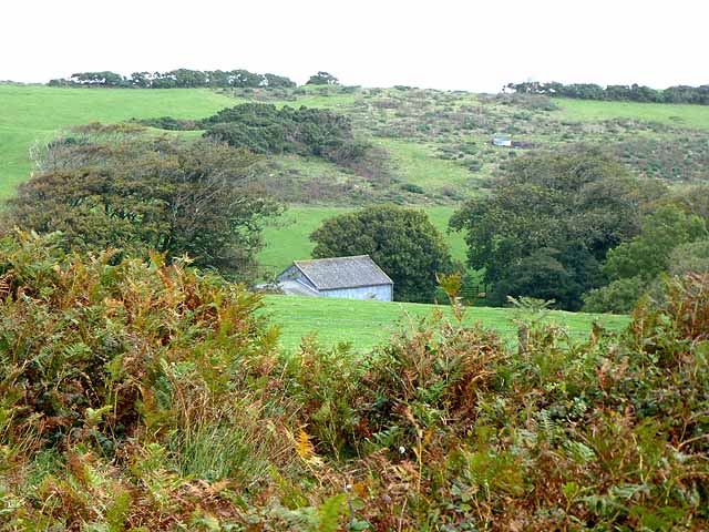
Wood Combe
Wood, Forest in Somerset Somerset West and Taunton
England
Wood Combe
Wood Combe is a charming village located in the county of Somerset, England. Nestled within a lush and picturesque forest, the village is surrounded by natural beauty and tranquility. The name "Wood Combe" itself reflects the area's abundance of woodlands and forests, creating a serene and peaceful atmosphere for residents and visitors alike.
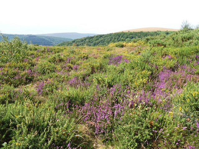
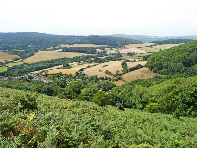
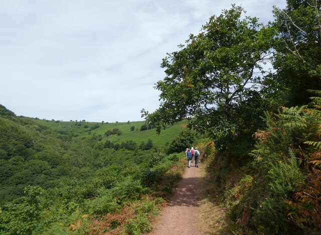
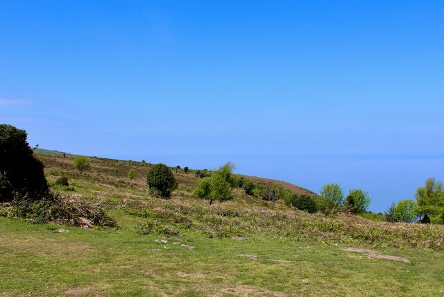
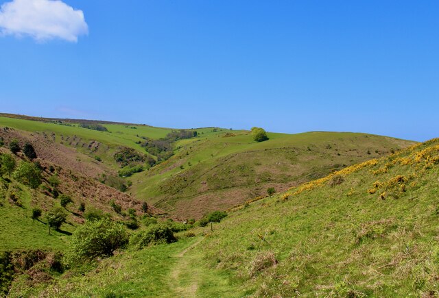
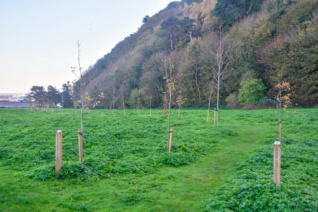
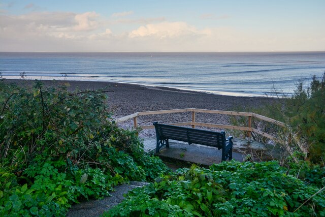
The village is situated in the heart of the Somerset countryside, offering breathtaking views of rolling hills and verdant landscapes. The forest that envelops Wood Combe is a haven for wildlife, providing a habitat for a diverse range of flora and fauna. Nature enthusiasts will find themselves captivated by the abundance of walking trails and opportunities to explore the surrounding woodland.
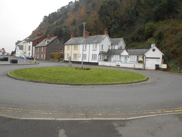
Wood Combe itself is a small and close-knit community, with a population of approximately 500 residents. The village boasts a quaint and traditional charm, with many of its buildings showcasing historic architecture. A visit to Wood Combe allows visitors to immerse themselves in the rural English lifestyle, with a notable sense of peace and tranquility permeating throughout the village.
Despite its tranquil ambiance, Wood Combe is conveniently located close to larger towns and cities. The bustling town of Taunton is only a short drive away, offering a range of amenities and services. This proximity to urban areas allows residents of Wood Combe to enjoy the best of both worlds – a peaceful countryside retreat with easy access to modern conveniences.
If you have any feedback on the listing, please let us know in the comments section below.
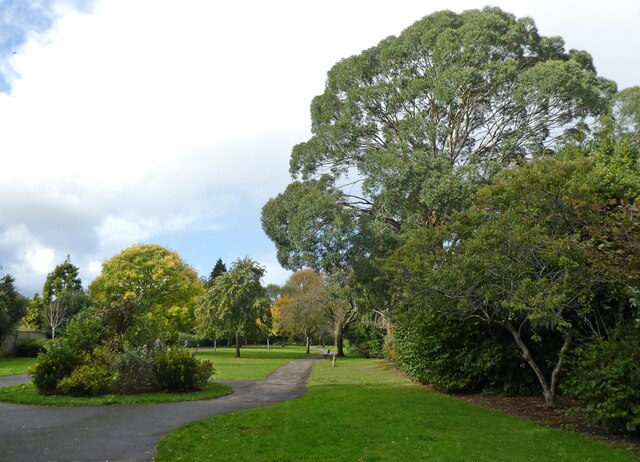
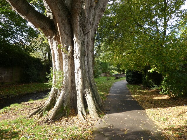
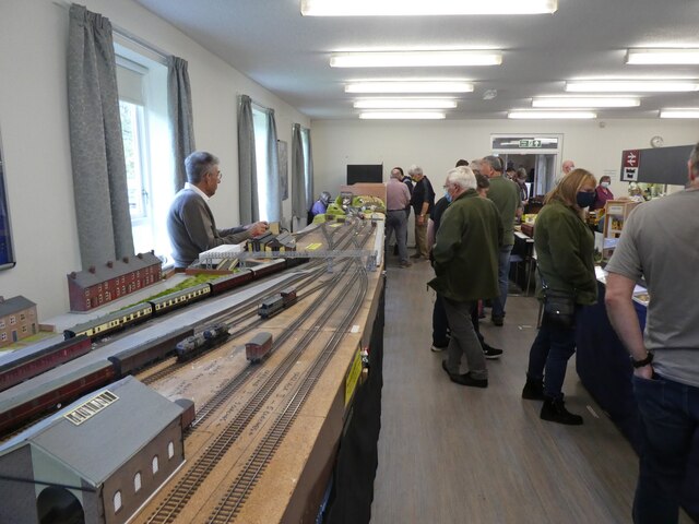
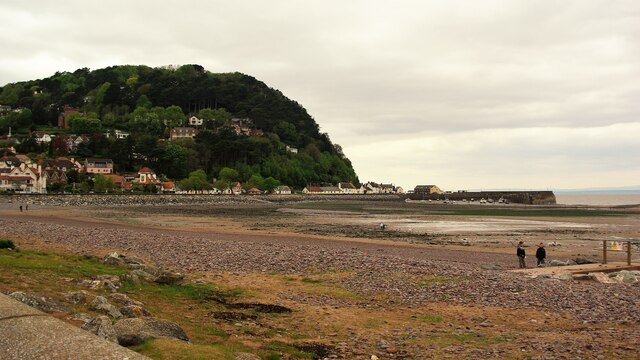
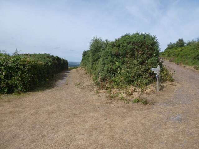
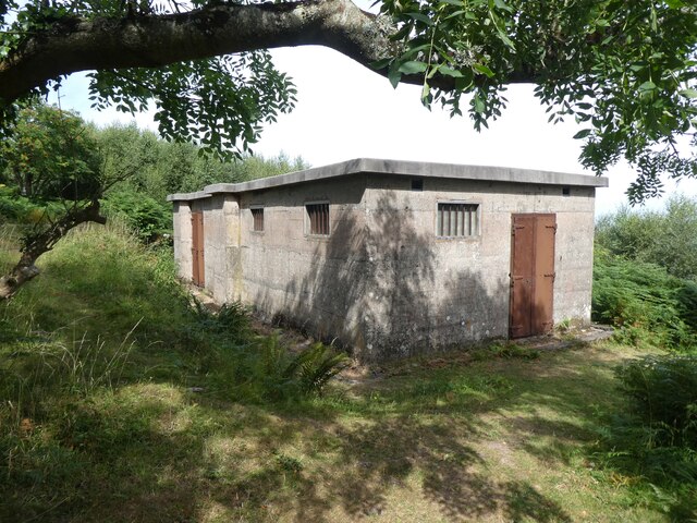
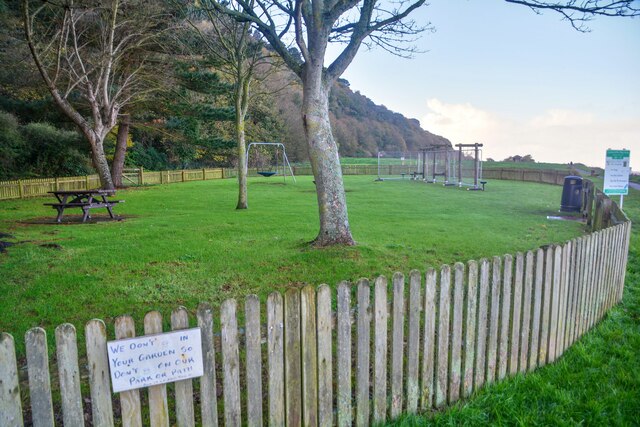
Wood Combe Images
Images are sourced within 2km of 51.215742/-3.5056913 or Grid Reference SS9447. Thanks to Geograph Open Source API. All images are credited.


Wood Combe is located at Grid Ref: SS9447 (Lat: 51.215742, Lng: -3.5056913)
Administrative County: Somerset
District: Somerset West and Taunton
Police Authority: Avon and Somerset
What 3 Words
///domain.plugged.humidity. Near Minehead, Somerset
Nearby Locations
Related Wikis

Bratton Court
Bratton Court in the hamlet of Bratton within the parish of Minehead Without, Somerset, England was built as a manor house, with a 14th-century open hall...

Minehead Without
Minehead Without is a civil parish in the English county of Somerset, and within the Exmoor National Park. As its name suggests, the parish covers a rural...

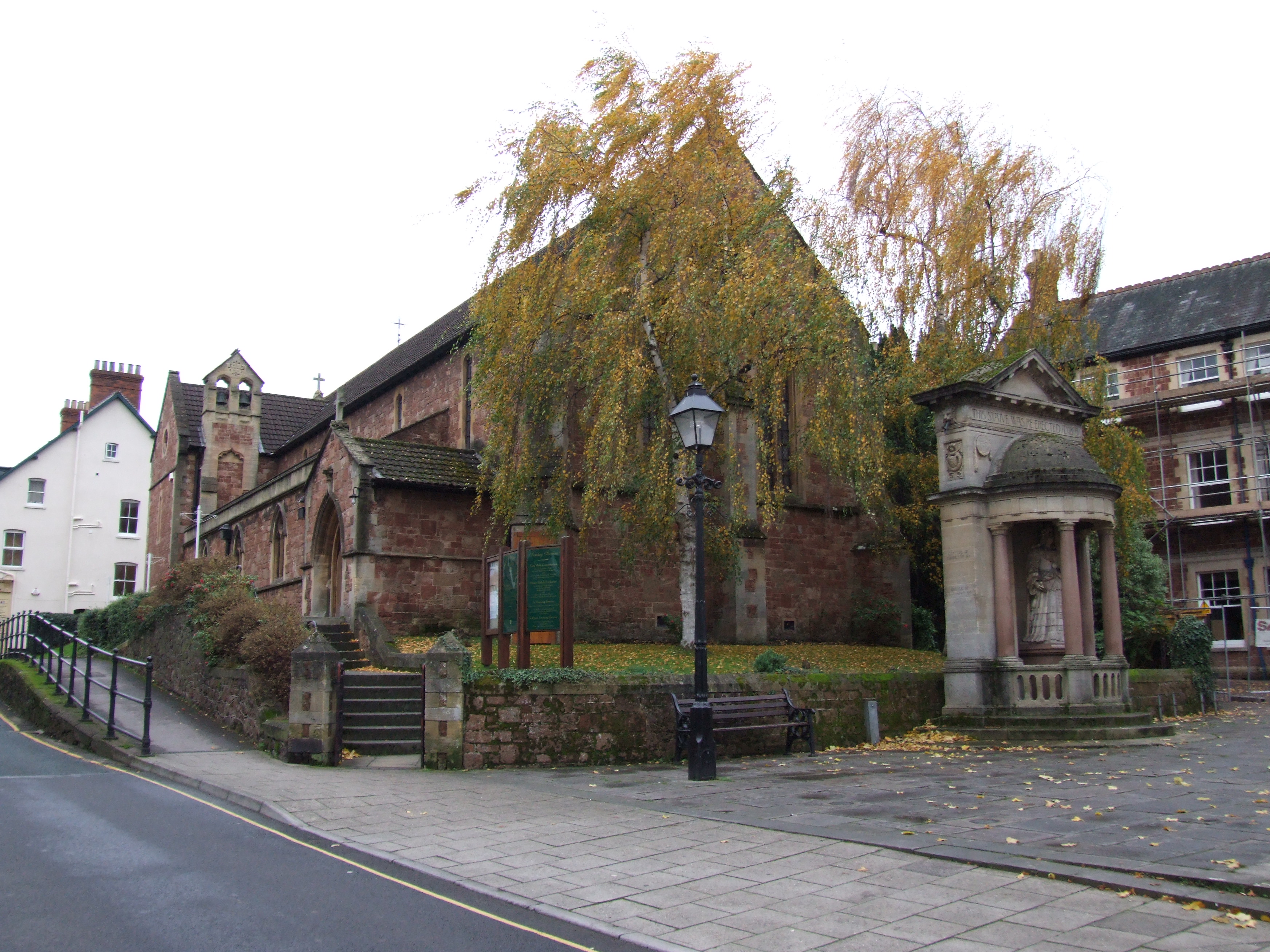
Church of St Michael, Minehead
The Anglican Church of St Michael in Minehead, Somerset, England was built in the 15th century. It is a Grade II* listed building. == History == The church...
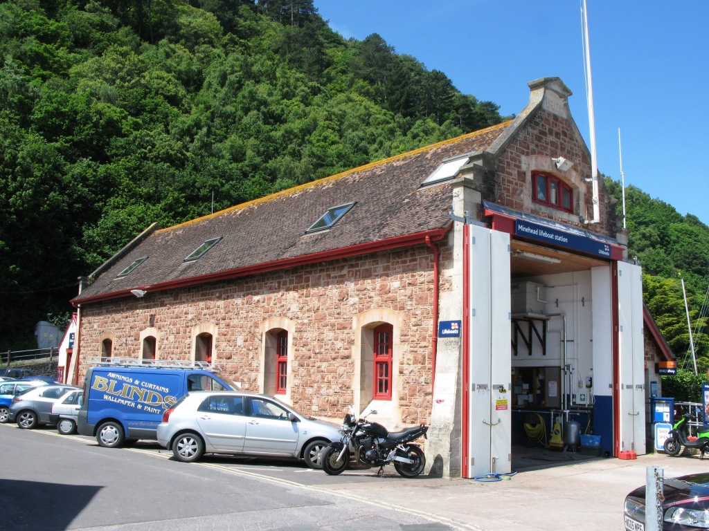
Minehead Lifeboat Station
Minehead Lifeboat Station is the base for Royal National Lifeboat Institution (RNLI) search and rescue operations at Minehead, Somerset in England. The...
East Myne
East Myne is a univallate Iron Age hill fort enclosure in the West Somerset district of Somerset, England. The hill fort is situated approximately 1.1...

Statue of Queen Anne, Minehead
The Statue of Queen Anne in Minehead, Somerset, England was built in 1719. It is a Grade II* listed building. == History == The statue depicts Queen Anne...
St Andrew's Church, Minehead
St Andrew's Church is a Church of England church in Minehead, Somerset, England. Designed by George Edmund Street, it was built in 1877–80 and has been...

Minehead Town Hall
Minehead Town Hall is a municipal building in The Parade, Minehead, Somerset, England. The structure, which is the meeting place of Minehead Town Council...
Nearby Amenities
Located within 500m of 51.215742,-3.5056913Have you been to Wood Combe?
Leave your review of Wood Combe below (or comments, questions and feedback).