Burgundy Chapel Combe
Valley in Somerset Somerset West and Taunton
England
Burgundy Chapel Combe
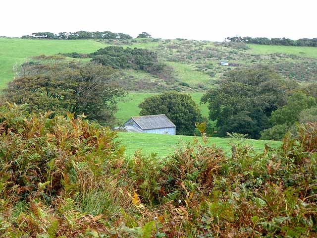
Burgundy Chapel Combe is a picturesque valley located in Somerset, England. Situated amidst the rolling hills of the Mendip Range, this idyllic valley offers stunning natural beauty and a tranquil atmosphere. The name "Burgundy" is derived from the red-hued soil found in the area, adding to its unique character.
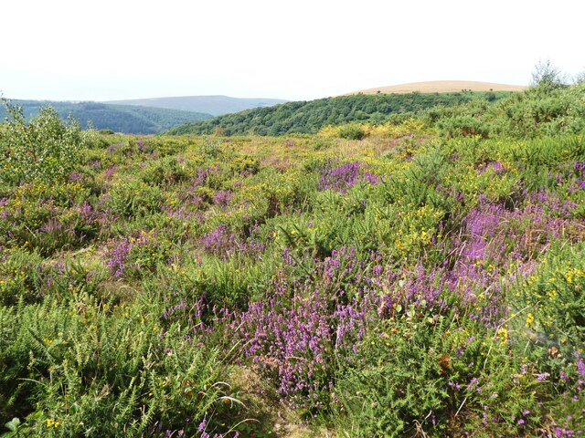
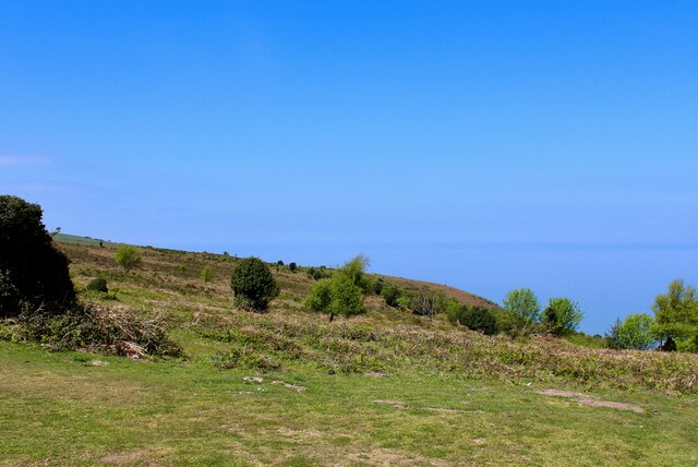
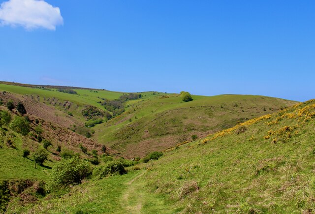
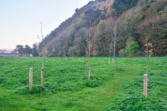
The valley is home to a variety of flora and fauna, making it a haven for nature enthusiasts and wildlife lovers. Lush green meadows, woodland areas, and gently flowing streams create a diverse ecosystem. Visitors can expect to encounter a rich array of plant species, including wildflowers, ferns, and mosses.
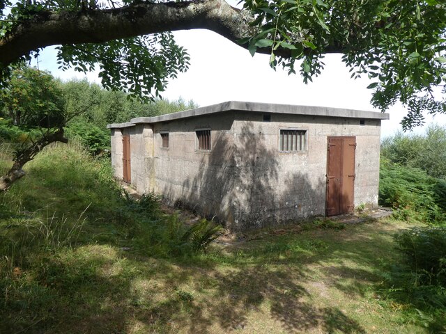
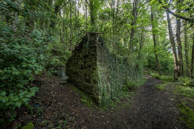
Burgundy Chapel Combe is also steeped in history, with evidence of human habitation dating back to the Neolithic era. The valley is home to several ancient burial mounds, known as barrows, which serve as a reminder of its ancient past.
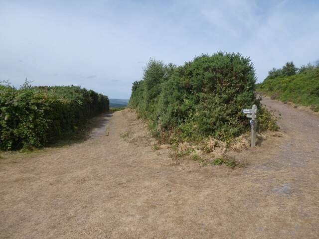
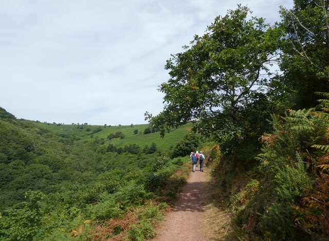
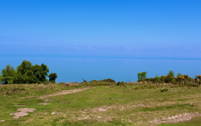
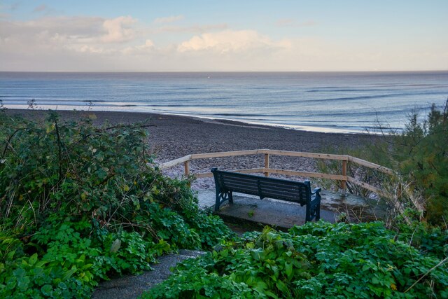
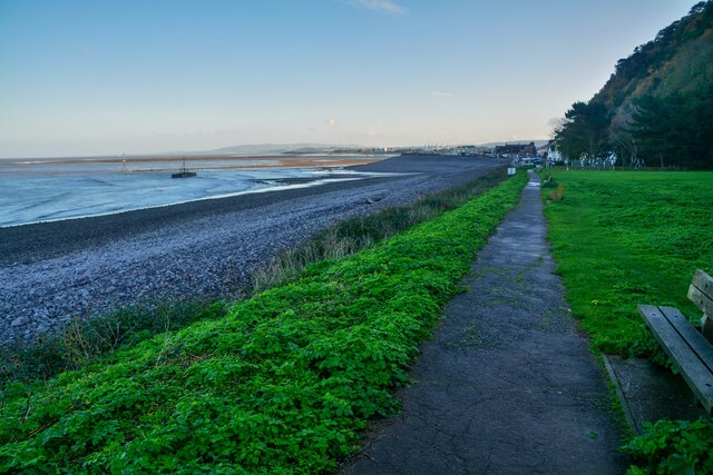
The tranquility and natural beauty of the valley make it a popular destination for hiking and walking enthusiasts. There are a number of well-marked trails that wind their way through the valley, allowing visitors to explore its hidden gems. The views from the ridges overlooking the valley are particularly breathtaking, offering panoramic vistas of the surrounding countryside.
Overall, Burgundy Chapel Combe is a place where nature, history, and serenity coexist harmoniously. Whether it's a leisurely walk, a picnic in the meadows, or simply taking in the beauty of the countryside, this valley provides a welcome retreat from the hustle and bustle of everyday life.
If you have any feedback on the listing, please let us know in the comments section below.
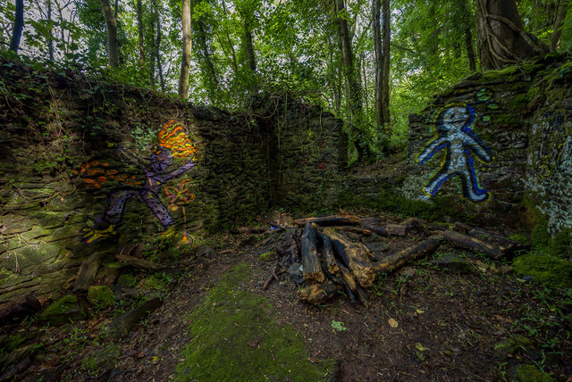
Burgundy Chapel Combe Images
Images are sourced within 2km of 51.220892/-3.508752 or Grid Reference SS9447. Thanks to Geograph Open Source API. All images are credited.


Burgundy Chapel Combe is located at Grid Ref: SS9447 (Lat: 51.220892, Lng: -3.508752)
Administrative County: Somerset
District: Somerset West and Taunton
Police Authority: Avon and Somerset
What 3 Words
///gobblers.palace.silver. Near Minehead, Somerset
Nearby Locations
Related Wikis

Bratton Court
Bratton Court in the hamlet of Bratton within the parish of Minehead Without, Somerset, England was built as a manor house, with a 14th-century open hall...
East Myne
East Myne is a univallate Iron Age hill fort enclosure in the West Somerset district of Somerset, England. The hill fort is situated approximately 1.1...

Minehead Without
Minehead Without is a civil parish in the English county of Somerset, and within the Exmoor National Park. As its name suggests, the parish covers a rural...

Church of St Michael, Minehead
The Anglican Church of St Michael in Minehead, Somerset, England was built in the 15th century. It is a Grade II* listed building. == History == The church...
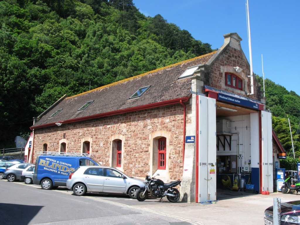
Minehead Lifeboat Station
Minehead Lifeboat Station is the base for Royal National Lifeboat Institution (RNLI) search and rescue operations at Minehead, Somerset in England. The...

South West Coast Path
The South West Coast Path is England's longest waymarked long-distance footpath and a National Trail. It stretches for 630 miles (1,014 km), running from...

Statue of Queen Anne, Minehead
The Statue of Queen Anne in Minehead, Somerset, England was built in 1719. It is a Grade II* listed building. == History == The statue depicts Queen Anne...
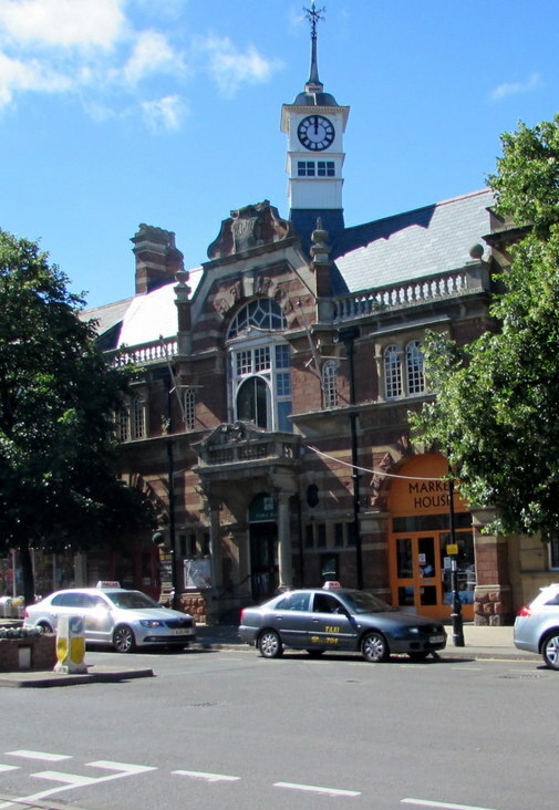
Minehead Town Hall
Minehead Town Hall is a municipal building in The Parade, Minehead, Somerset, England. The structure, which is the meeting place of Minehead Town Council...
Nearby Amenities
Located within 500m of 51.220892,-3.508752Have you been to Burgundy Chapel Combe?
Leave your review of Burgundy Chapel Combe below (or comments, questions and feedback).