Bratton Ball

Hill, Mountain in Somerset Somerset West and Taunton

England

Bratton Ball

Model railway exhibition at Sainsbury Hall
Model railway exhibition at Sainsbury Hall Credit: Roger Cornfoot

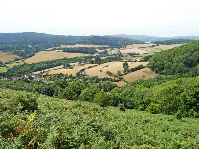
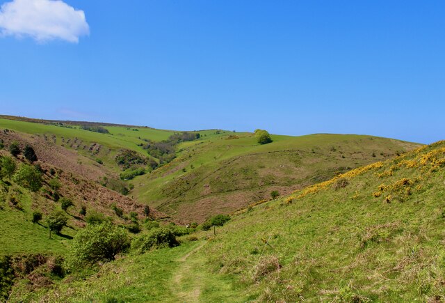
Bratton Ball is a prominent hill located in Somerset, England. Rising approximately 308 meters above sea level, it is often referred to as Bratton Mountain due to its considerable elevation. Situated in the western part of Somerset, Bratton Ball is part of the wider Quantock Hills, which are designated as an Area of Outstanding Natural Beauty.

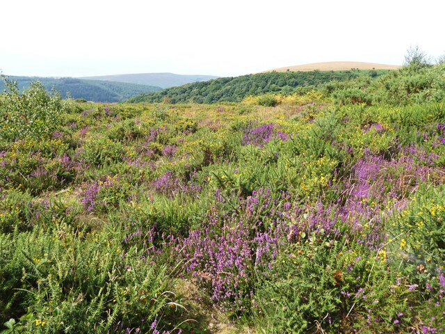
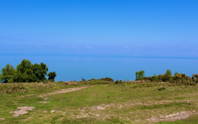
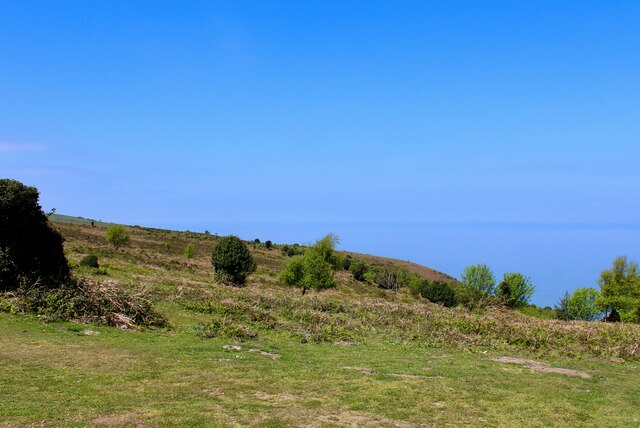
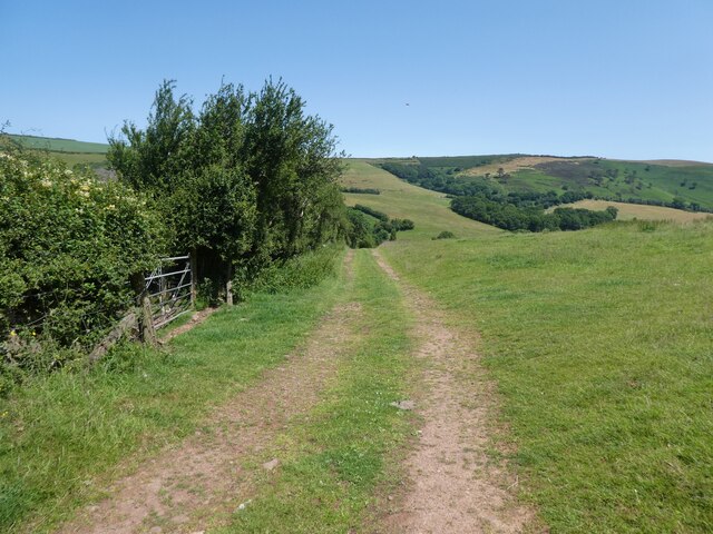
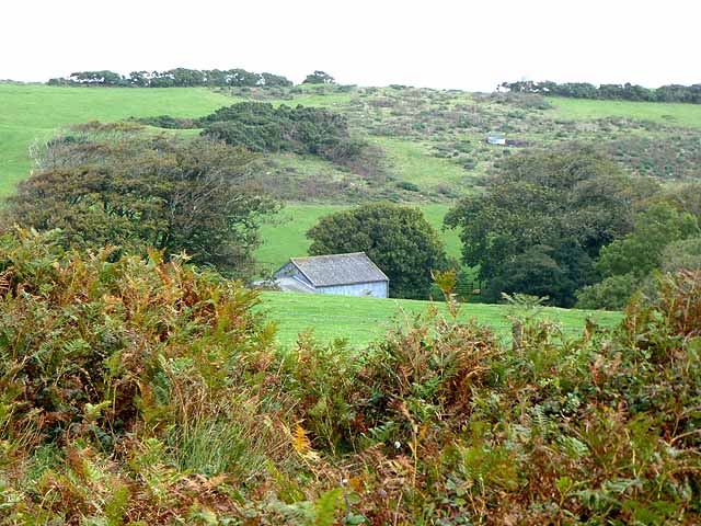
The hill is characterized by its distinctive shape, with a relatively flat plateau at its summit and steep slopes on all sides. The plateau offers breathtaking views of the surrounding countryside, including the Bristol Channel and the nearby Brendon Hills. The hill is covered in lush green vegetation, with grasses, heather, and gorse dominating the landscape. It is also home to a variety of wildlife, including deer, rabbits, and various bird species.

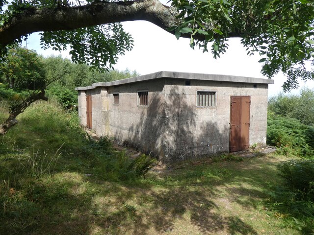
Bratton Ball has historical significance, with evidence of human habitation dating back to the Neolithic period. Archaeological remains, such as burial mounds and ancient trackways, have been discovered on the hill, indicating its use as a ceremonial site and for trading routes.

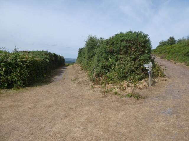
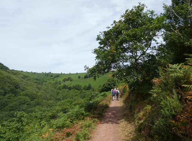
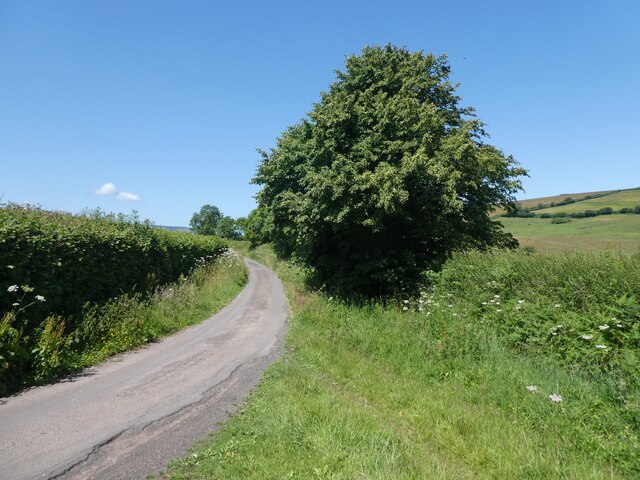
The hill attracts outdoor enthusiasts and nature lovers, offering numerous walking trails and footpaths that allow visitors to explore its natural beauty. The area also provides opportunities for rock climbing and paragliding, attracting adventurous individuals seeking a more exhilarating experience.

Overall, Bratton Ball is a captivating hill in Somerset, offering stunning views, historical intrigue, and a range of outdoor activities, making it a popular destination for locals and tourists alike.

If you have any feedback on the listing, please let us know in the comments section below.

Bratton Ball Images

Images are sourced within 2km of 51.215738/-3.5151126 or Grid Reference SS9447. Thanks to Geograph Open Source API. All images are credited.

Model railway exhibition at Sainsbury Hall
Path junction above Woodcombe
WW2 radar station on North Hill
The colours of mid summer on North Hill
View towards Headon Cross
Path, above Wood Coombe
South West Coast Path The South West Coast Path National Trail - 630 miles of superb coastal walking. From Minehead on the edge of the Exmoor National Park to the shores of Poole Harbour in Dorset. It is the longest of all Britain's National Trails.
Website: <span class="nowrap"><a title="http://www.southwestcoastpath.com/" rel="nofollow ugc noopener" href="http://www.southwestcoastpath.com/">Link</a><img style="margin-left:2px;" alt="External link" title="External link - shift click to open in new window" src="https://s1.geograph.org.uk/img/external.png" width="10" height="10"/></span>
South West Coast Path
The South West Coast Path National Trail - 630 miles of superb coastal walking. From Minehead on the edge of the Exmoor National Park to the shores of Poole Harbour in Dorset. It is the longest of all Britain's National Trails. Website: LinkExternal link
Ordnance Survey Cut Mark This OS cut mark can be found on the wall of Nutscale. It marks a point 48.048m above mean sea level.
Ordnance Survey Cut Mark
This OS cut mark can be found on the wall of Nutscale. It marks a point 48.048m above mean sea level.
Ordnance Survey Cut Mark This OS cut mark can be found on the gatepost of Dunboyne. It marks a point 59.983m above mean sea level.
Ordnance Survey Cut Mark
This OS cut mark can be found on the gatepost of Dunboyne. It marks a point 59.983m above mean sea level.
Ordnance Survey Flush Bracket (G4820) This OS Flush Bracket can be found on the roadside barn at Bratton Court. It marks a point 66.569m above mean sea level.
Ordnance Survey Flush Bracket (G4820)
This OS Flush Bracket can be found on the roadside barn at Bratton Court. It marks a point 66.569m above mean sea level.
Ordnance Survey Cut Mark This OS cut mark can be found on the gatepost of Huntspill. It marks a point 34.354m above mean sea level.
Ordnance Survey Cut Mark
This OS cut mark can be found on the gatepost of Huntspill. It marks a point 34.354m above mean sea level.
Ordnance Survey Rivet This OS rivet can be found on the cattle grid. It marks a point 263.801m above mean sea level.
Ordnance Survey Rivet
This OS rivet can be found on the cattle grid. It marks a point 263.801m above mean sea level.
Ordnance Survey Rivet This OS rivet can be found on the cattle grid. It marks a point 265.266m above mean sea level.
Ordnance Survey Rivet
This OS rivet can be found on the cattle grid. It marks a point 265.266m above mean sea level.
Ordnance Survey Rivet This OS rivet can be found on the concrete plinth. It marks a point 210.367m above mean sea level.
Ordnance Survey Rivet
This OS rivet can be found on the concrete plinth. It marks a point 210.367m above mean sea level.
Back road to Selworthy
Track to Hindon Farm
Show me another place!

Bratton Ball is located at Grid Ref: SS9447 (Lat: 51.215738, Lng: -3.5151126)

Administrative County: Somerset

District: Somerset West and Taunton

Police Authority: Avon and Somerset

What 3 Words

///flask.scouted.putter. Near Minehead, Somerset

Related Wikis

Bratton Court

Bratton Court in the hamlet of Bratton within the parish of Minehead Without, Somerset, England was built as a manor house, with a 14th-century open hall...

Minehead Without

Minehead Without is a civil parish in the English county of Somerset, and within the Exmoor National Park. As its name suggests, the parish covers a rural...

East Myne

East Myne is a univallate Iron Age hill fort enclosure in the West Somerset district of Somerset, England. The hill fort is situated approximately 1.1...

Church of St Michael, Minehead

The Anglican Church of St Michael in Minehead, Somerset, England was built in the 15th century. It is a Grade II* listed building. == History == The church...

Selworthy Beacon

Selworthy Beacon is a hill and Marilyn of Exmoor in Somerset, England. It lies within the boundaries of Exmoor National Park, to the north of the village...

Chapel of St Leonard, Tivington

The Anglican Chapel of St Leonard in Tivington, Somerset, England was built in the mid 14th century as a chapel of ease. It is a Grade II* listed building...

Bury Castle, Selworthy

Bury Castle is an Iron Age hillfort near Selworthy, Somerset, England. It has been designated as a scheduled monument. == History == Bury Castle was built...

Selworthy

Selworthy is a small village and civil parish 5 kilometres (3 mi) from Minehead in Somerset, England. It is located in the National Trust's Holnicote Estate...

Nearby Amenities

Located within 500m of 51.215738,-3.5151126
Barrier: cattle_grid
Lat/Long: 51.216714/-3.5195576
Bench
Backrest: no
Lat/Long: 51.2168426/-3.5197289
Bench
Backrest: no
Lat/Long: 51.2168628/-3.5192568
North Hill
Ele: 279
Natural: peak
Lat/Long: 51.2160993/-3.5150407
Hiking: yes
Information: board
Source: GPS survey
Tourism: information
Lat/Long: 51.2181066/-3.5200395
Hiking: yes
Information: guidepost
Source: GPS survey
Tourism: information
Lat/Long: 51.2166658/-3.5194659
Hiking: yes
Information: route_marker
Source: GPS survey
Tourism: information
Lat/Long: 51.2181712/-3.5196322
Hiking: yes
Information: guidepost
Source: GPS survey
Tourism: information
Lat/Long: 51.2189675/-3.5124359
Hiking: yes
Information: guidepost
Source: GPS survey
Tourism: information
Lat/Long: 51.2172001/-3.5102633
The data included in this document is from www.openstreetmap.org. The data is made available under ODbL.

Have you been to Bratton Ball?

Leave your review of Bratton Ball below (or comments, questions and feedback).