Rock Copse
Wood, Forest in Devon Mid Devon
England
Rock Copse
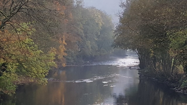
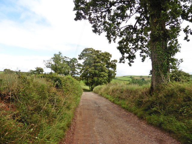
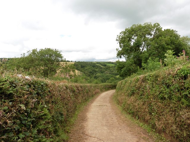
Rock Copse is a picturesque wooded area situated in Devon, England. Located near the village of Devonshire, this forest is known for its natural beauty and tranquil atmosphere. Covering an area of approximately 50 acres, Rock Copse offers visitors a serene escape from the hustle and bustle of modern life.
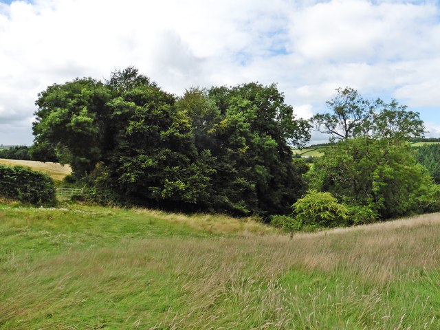
The copse is predominantly composed of native broadleaf trees, such as oak, beech, and ash. These towering trees form a dense canopy, creating a shaded and cool environment even on the hottest summer days. The forest floor is covered with a thick layer of moss, ferns, and wildflowers, adding to the enchanting ambiance of the woodland.
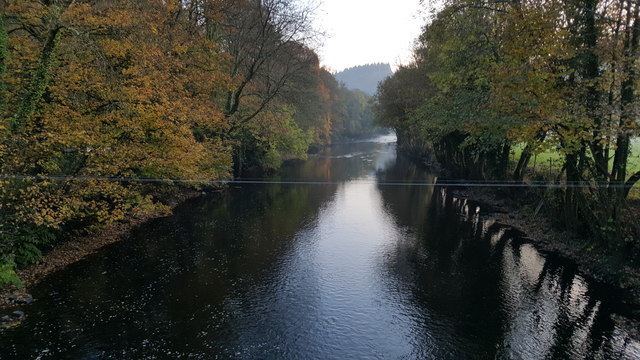
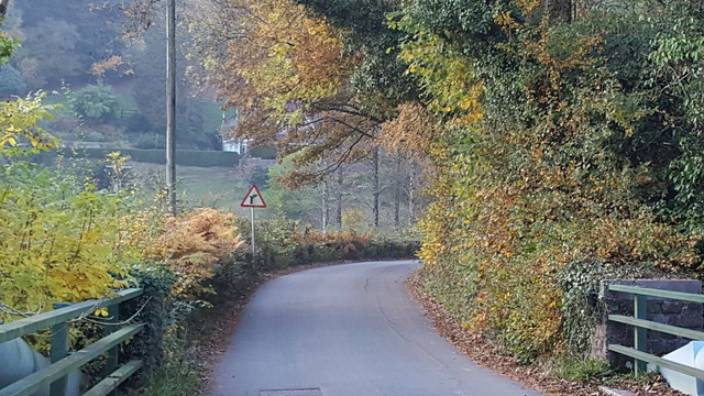
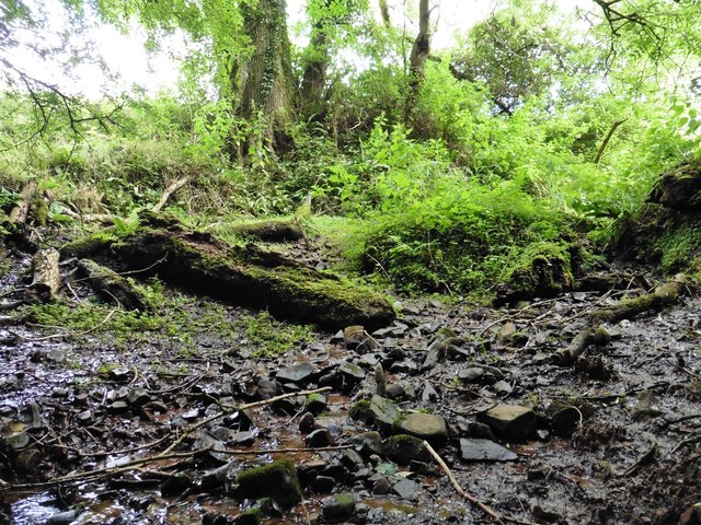
A network of well-maintained trails weaves through Rock Copse, allowing visitors to explore the area at their leisure. These paths lead to various points of interest, including a small stream that meanders through the forest, forming tiny waterfalls and pools along its course. The stream provides a refreshing spot for visitors to rest and enjoy the soothing sounds of nature.
Rock Copse is also home to a diverse array of wildlife. Birdwatchers can spot a variety of avian species, including woodpeckers, owls, and songbirds. Squirrels and rabbits can often be seen darting through the underbrush, while deer and foxes occasionally make appearances in the early morning or evening hours.
This natural haven has been carefully preserved and protected by local authorities, ensuring that Rock Copse remains a haven for both wildlife and visitors alike. Whether seeking solitude, a peaceful walk, or a chance to connect with nature, Rock Copse is a destination that offers all this and more.
If you have any feedback on the listing, please let us know in the comments section below.
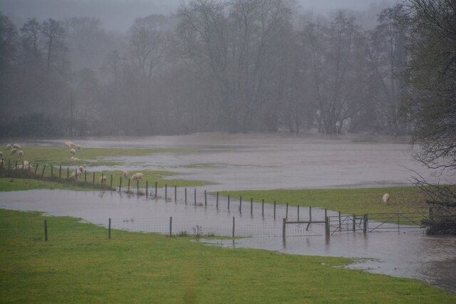
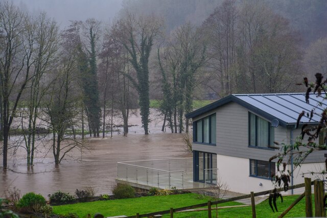
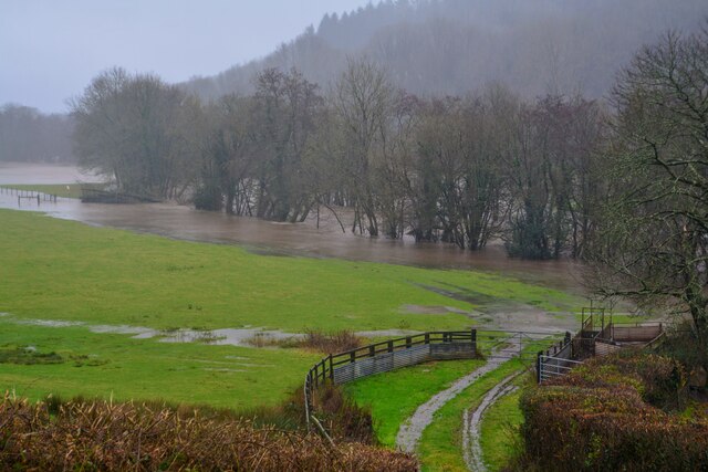
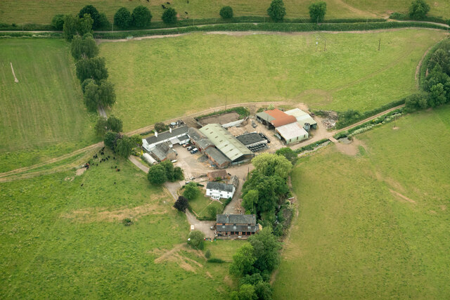
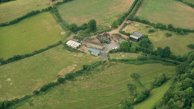
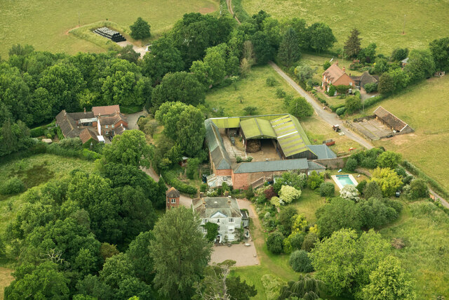
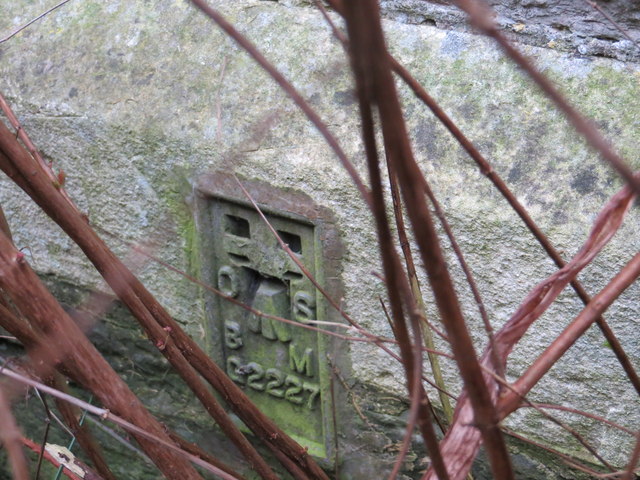
Rock Copse Images
Images are sourced within 2km of 50.944606/-3.5004145 or Grid Reference SS9417. Thanks to Geograph Open Source API. All images are credited.

Rock Copse is located at Grid Ref: SS9417 (Lat: 50.944606, Lng: -3.5004145)
Administrative County: Devon
District: Mid Devon
Police Authority: Devon and Cornwall
What 3 Words
///ahead.earplugs.contact. Near Tiverton, Devon
Nearby Locations
Related Wikis

Castle Close
Castle Close is a circular earthwork located near Stoodleigh in Mid Devon, England at OS grid reference SS937181. It is described on maps as a settlement...

Washfield
Washfield is a village, parish and former manor in Devon, England, situated about 2 miles north-west of Tiverton. The parish church is dedicated to St...

Knightshayes Court
Knightshayes Court is a Victorian country house near Tiverton, Devon, England, designed by William Burges for the Heathcoat-Amory family. Nikolaus Pevsner...

Cove, Devon
Cove is a small village in the county of Devon, England. It is 4 miles north of Tiverton and 2 miles from Bampton in the Exe Valley some 450 feet above...

Stoodleigh
Stoodleigh is a village and civil parish in the Mid Devon district of Devon, England, located 6 miles (10 km) north of Tiverton and 5 miles (8 km) south...

River Batherm
The River Batherm is a river which flows through Somerset and Devon in England. The river rises on high ground near the village of Sperry Barton, between...

Loxbeare
Loxbeare is a village and civil parish in Devon, England. The church is from the twelfth century and the tower is probably Norman. It is dedicated to St...
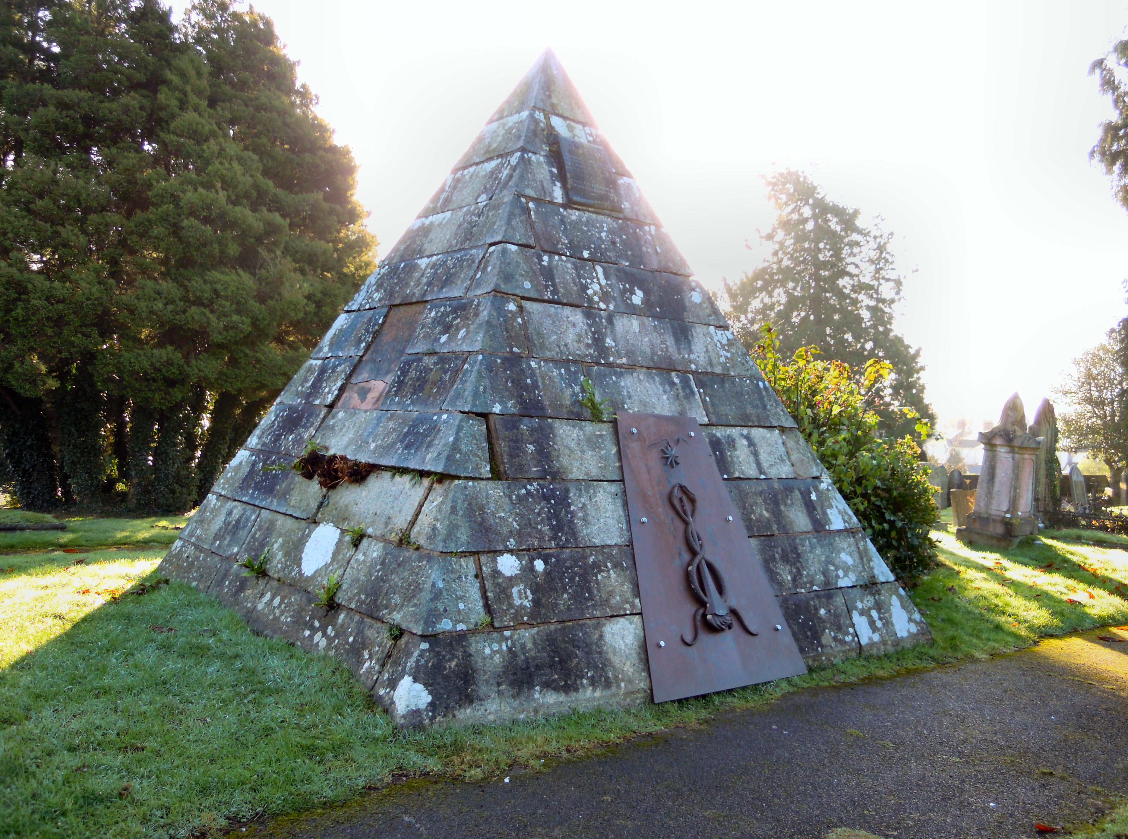
Tiverton Cemetery
Tiverton Cemetery is the burial ground for the town of Tiverton in Devon. The cemetery covers eight acres and is owned and maintained by Mid Devon Council...
Nearby Amenities
Located within 500m of 50.944606,-3.5004145Have you been to Rock Copse?
Leave your review of Rock Copse below (or comments, questions and feedback).