Bratton Wood

Wood, Forest in Somerset Somerset West and Taunton

England

Bratton Wood

Entrance to Brook Close
Entrance to Brook Close Credit: Roger Cornfoot

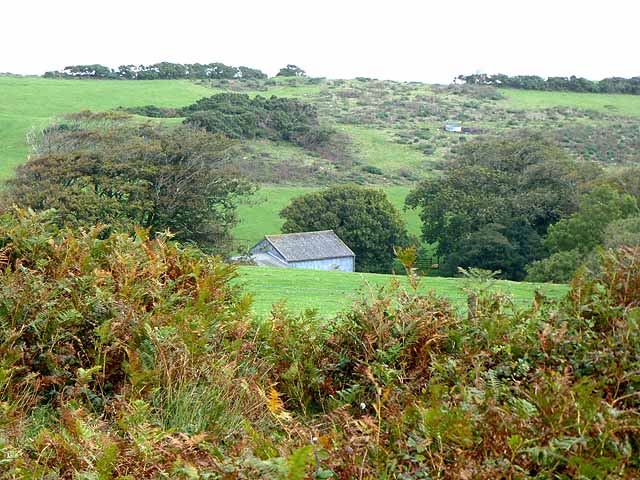
Bratton Wood is a charming forest located in Somerset, England. Covering an area of approximately 100 acres, it is a popular destination for nature enthusiasts and outdoor lovers. The wood is situated in the parish of Bratton Seymour, near the village of Castle Cary.

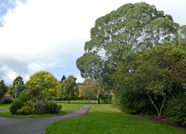
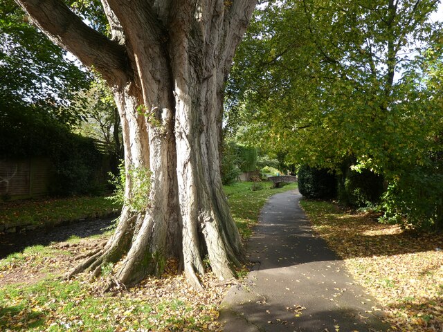
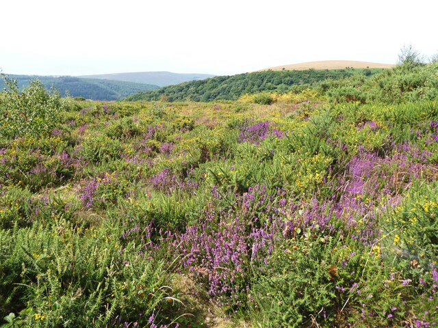
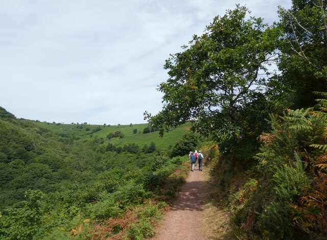
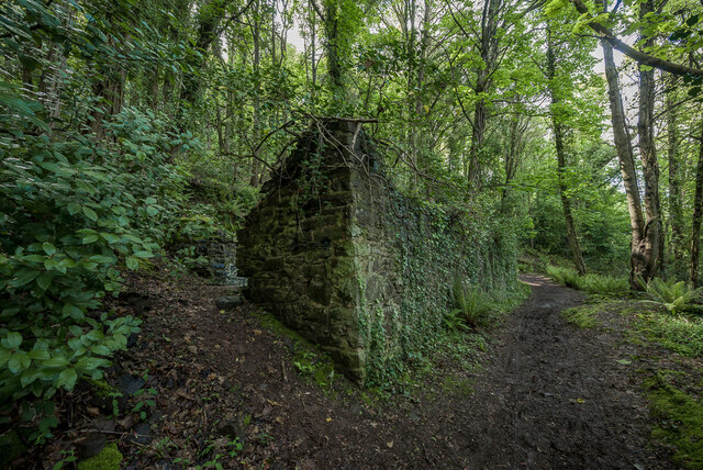
The woodland is characterized by a diverse range of native tree species, including oak, beech, ash, and birch. These trees create a dense canopy that provides a habitat for a variety of wildlife, such as deer, badgers, and numerous bird species. The forest floor is adorned with a carpet of bluebells in the spring, adding to the wood's natural beauty.

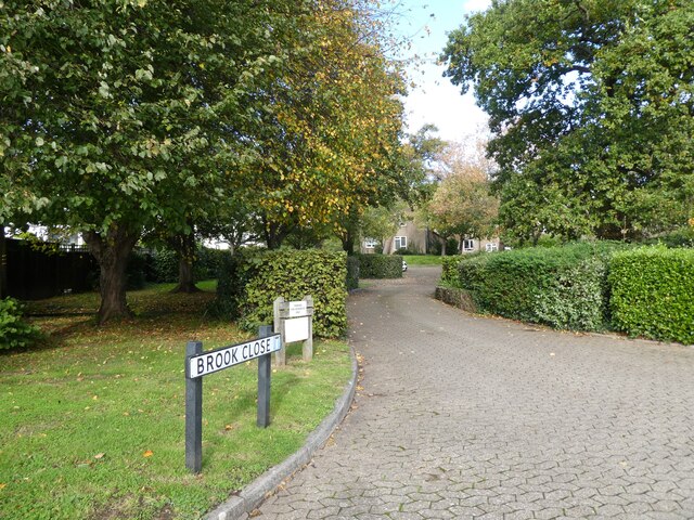
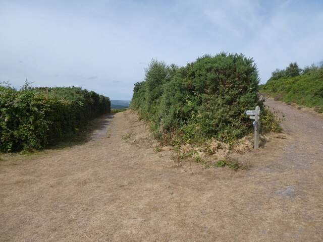
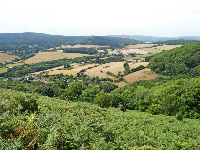
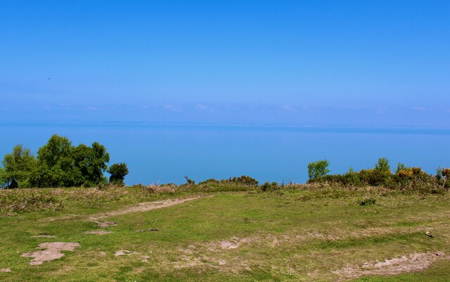
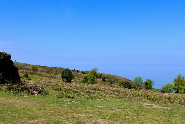
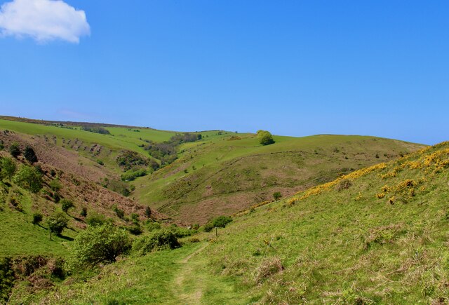
Visitors to Bratton Wood can explore the numerous footpaths and trails that wind through the forest, offering picturesque views and opportunities for peaceful walks. The wood is well-maintained, with clear signage and designated picnic areas for visitors to relax and enjoy the tranquil surroundings.

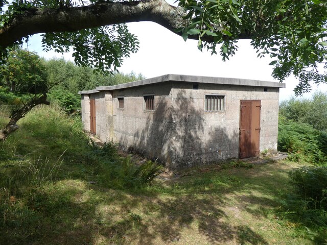
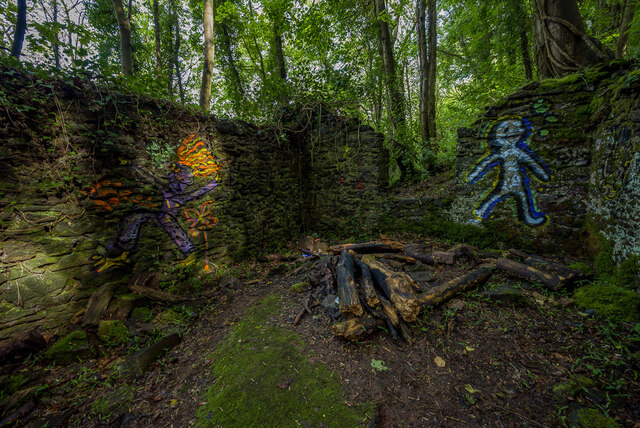
Bratton Wood is also home to a number of historical sites, including the remains of an Iron Age hillfort. These ancient earthworks add an intriguing element to the wood's allure, attracting history enthusiasts and archaeologists alike.

Overall, Bratton Wood is a haven of natural beauty and tranquility. Its well-preserved woodland, diverse wildlife, and historical significance make it a must-visit destination for those seeking a connection with nature and a glimpse into the past.

If you have any feedback on the listing, please let us know in the comments section below.

Bratton Wood Images

Images are sourced within 2km of 51.210747/-3.5088498 or Grid Reference SS9446. Thanks to Geograph Open Source API. All images are credited.

Entrance to Brook Close
Paths through 'The Parks', Minehead
Mature Poplar tree in  'The Parks', Minehead
Mature Poplar tree in 'The Parks', Minehead
Model railway exhibition at Sainsbury Hall
Path junction above Woodcombe
WW2 radar station on North Hill
The colours of mid summer on North Hill
View towards Headon Cross
Path, above Wood Coombe
South West Coast Path The South West Coast Path National Trail - 630 miles of superb coastal walking. From Minehead on the edge of the Exmoor National Park to the shores of Poole Harbour in Dorset. It is the longest of all Britain's National Trails.
Website: <span class="nowrap"><a title="http://www.southwestcoastpath.com/" rel="nofollow ugc noopener" href="http://www.southwestcoastpath.com/">Link</a><img style="margin-left:2px;" alt="External link" title="External link - shift click to open in new window" src="https://s1.geograph.org.uk/img/external.png" width="10" height="10"/></span>
South West Coast Path
The South West Coast Path National Trail - 630 miles of superb coastal walking. From Minehead on the edge of the Exmoor National Park to the shores of Poole Harbour in Dorset. It is the longest of all Britain's National Trails. Website: LinkExternal link
Feasible post-medieval industrial building An abandoned structure with a rectangular platform measuring 13.7 by 4.5 metres can be seen within Culver Cliff Wood, on the edge of the Exmoor National Park, located in the South West of England.
Feasible post-medieval industrial building
An abandoned structure with a rectangular platform measuring 13.7 by 4.5 metres can be seen within Culver Cliff Wood, on the edge of the Exmoor National Park, located in the South West of England.
Ordnance Survey Cut Mark This OS cut mark can be found on the wall of Nutscale. It marks a point 48.048m above mean sea level.
Ordnance Survey Cut Mark
This OS cut mark can be found on the wall of Nutscale. It marks a point 48.048m above mean sea level.
Ordnance Survey Cut Mark This OS cut mark can be found on the gatepost of Dunboyne. It marks a point 59.983m above mean sea level.
Ordnance Survey Cut Mark
This OS cut mark can be found on the gatepost of Dunboyne. It marks a point 59.983m above mean sea level.
Ordnance Survey Flush Bracket (G4820) This OS Flush Bracket can be found on the roadside barn at Bratton Court. It marks a point 66.569m above mean sea level.
Ordnance Survey Flush Bracket (G4820)
This OS Flush Bracket can be found on the roadside barn at Bratton Court. It marks a point 66.569m above mean sea level.
Ordnance Survey Cut Mark This OS cut mark can be found on No11 Church Street. It marks a point 46.684m above mean sea level.
Ordnance Survey Cut Mark
This OS cut mark can be found on No11 Church Street. It marks a point 46.684m above mean sea level.
Show me another place!

Bratton Wood is located at Grid Ref: SS9446 (Lat: 51.210747, Lng: -3.5088498)

Administrative County: Somerset

District: Somerset West and Taunton

Police Authority: Avon and Somerset

What 3 Words

///blackbird.materials.nylon. Near Minehead, Somerset

Related Wikis

Bratton Court

Bratton Court in the hamlet of Bratton within the parish of Minehead Without, Somerset, England was built as a manor house, with a 14th-century open hall...

Minehead Without

Minehead Without is a civil parish in the English county of Somerset, and within the Exmoor National Park. As its name suggests, the parish covers a rural...

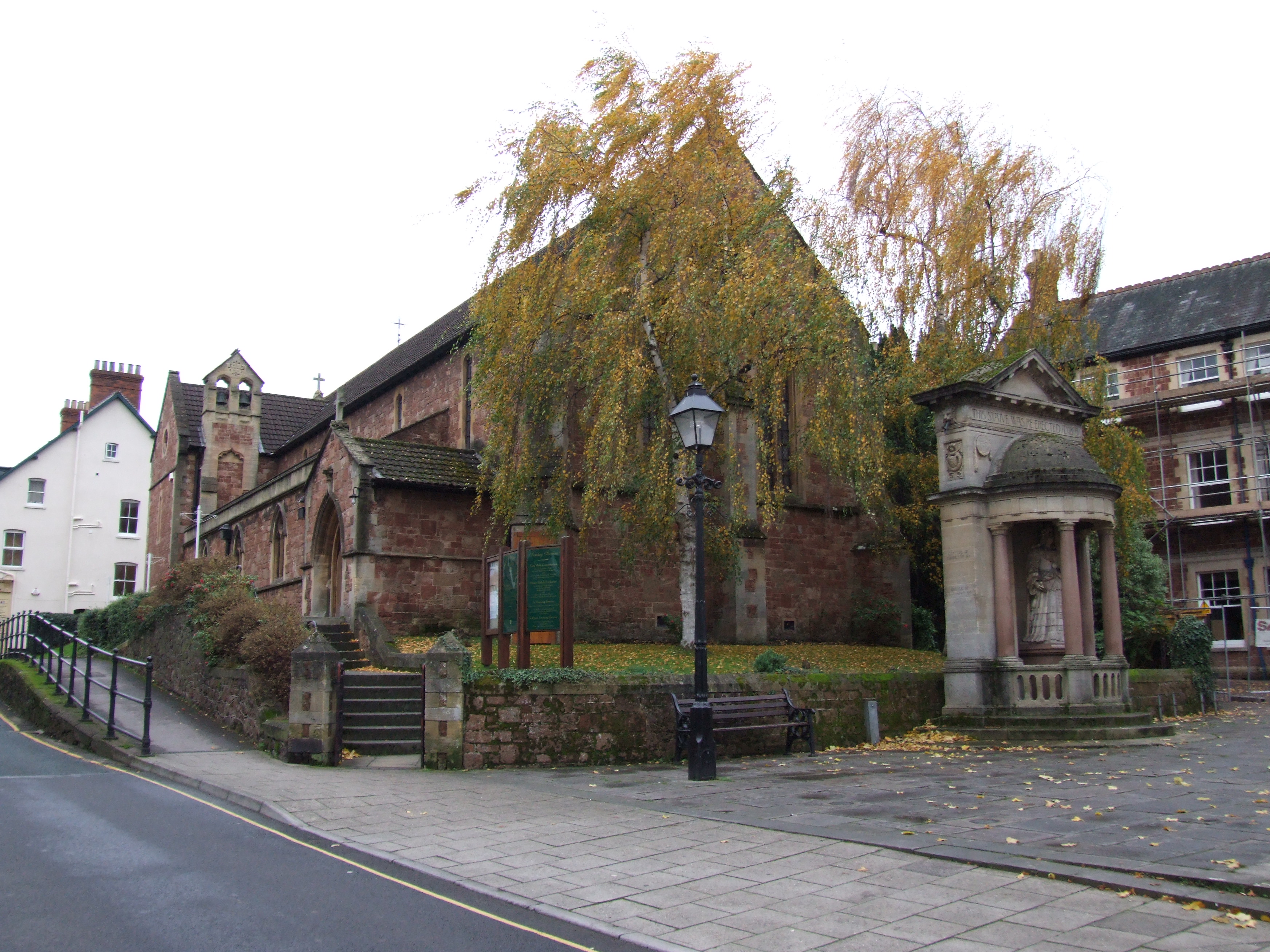
Church of St Michael, Minehead

The Anglican Church of St Michael in Minehead, Somerset, England was built in the 15th century. It is a Grade II* listed building. == History == The church...

Statue of Queen Anne, Minehead

The Statue of Queen Anne in Minehead, Somerset, England was built in 1719. It is a Grade II* listed building. == History == The statue depicts Queen Anne...

St Andrew's Church, Minehead

St Andrew's Church is a Church of England church in Minehead, Somerset, England. Designed by George Edmund Street, it was built in 1877–80 and has been...
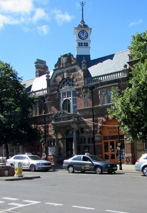
Minehead Town Hall

Minehead Town Hall is a municipal building in The Parade, Minehead, Somerset, England. The structure, which is the meeting place of Minehead Town Council...

Chapel of St Leonard, Tivington

The Anglican Chapel of St Leonard in Tivington, Somerset, England was built in the mid 14th century as a chapel of ease. It is a Grade II* listed building...

East Myne

East Myne is a univallate Iron Age hill fort enclosure in the West Somerset district of Somerset, England. The hill fort is situated approximately 1.1...

Have you been to Bratton Wood?

Leave your review of Bratton Wood below (or comments, questions and feedback).