Bratton Court

Heritage Site in Somerset Somerset West and Taunton

England

Bratton Court

Entrance to Brook Close
Entrance to Brook Close Credit: Roger Cornfoot

Bratton Court, located in Somerset, England, is a renowned heritage site that holds immense historical significance. This architectural marvel dates back to the medieval period and is a testament to the rich heritage and culture of the region.

The court is situated in the village of Bratton, nestled in the picturesque English countryside. It was originally constructed as a manor house in the 13th century and served as a residence for local nobility. Over the centuries, the building underwent several renovations and expansions, blending various architectural styles such as Gothic and Tudor.

The main structure of Bratton Court is a stone manor house with a striking façade. It features intricately carved stone detailing, large mullioned windows, and a grand entrance. The interior of the court boasts oak-panelled walls, ornate plasterwork, and a magnificent Great Hall with a high vaulted ceiling.

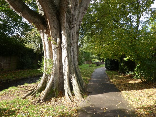
Surrounding the manor house is a beautiful landscape, including well-maintained gardens, a moat, and a small pond. This idyllic setting adds to the charm and tranquility of the site, making it a popular destination for visitors interested in history and architecture.

Bratton Court has been recognized as a Grade I listed building, acknowledging its architectural and historical significance. It serves as a reminder of the region's medieval past and offers a glimpse into the lives of the nobility who once resided there.

Today, Bratton Court is privately owned and not open to the public. However, its exterior can still be admired from the surrounding areas, allowing visitors to appreciate the beauty and grandeur of this remarkable heritage site.

If you have any feedback on the listing, please let us know in the comments section below.

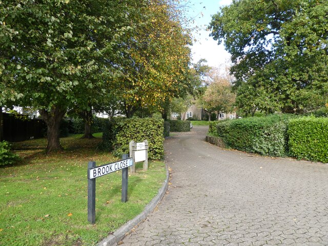
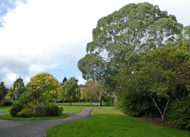
Bratton Court Images

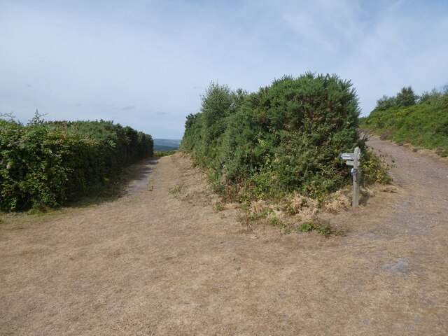
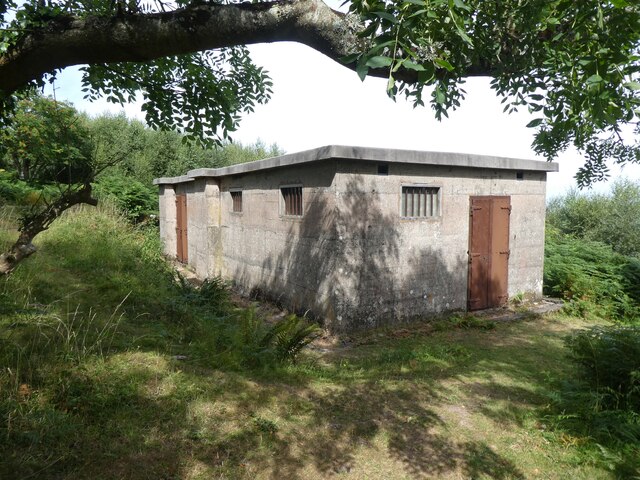
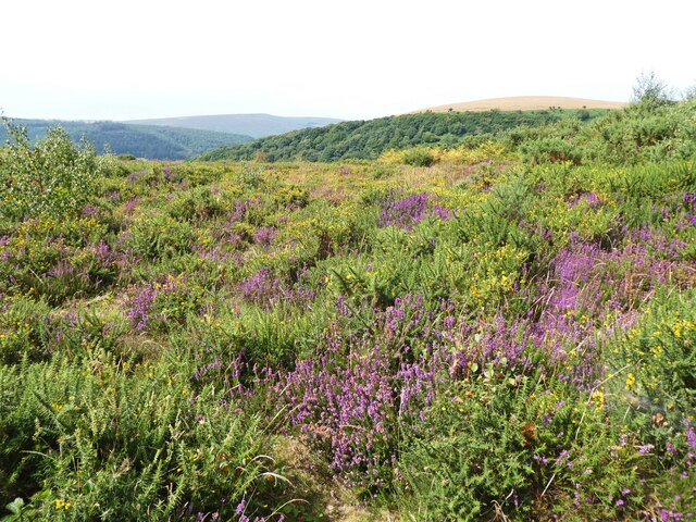
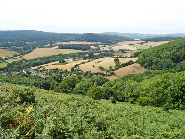
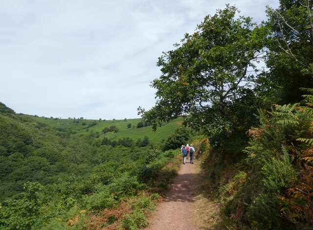
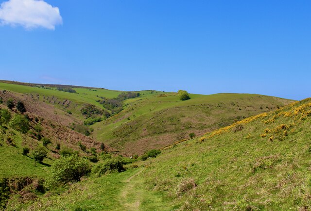
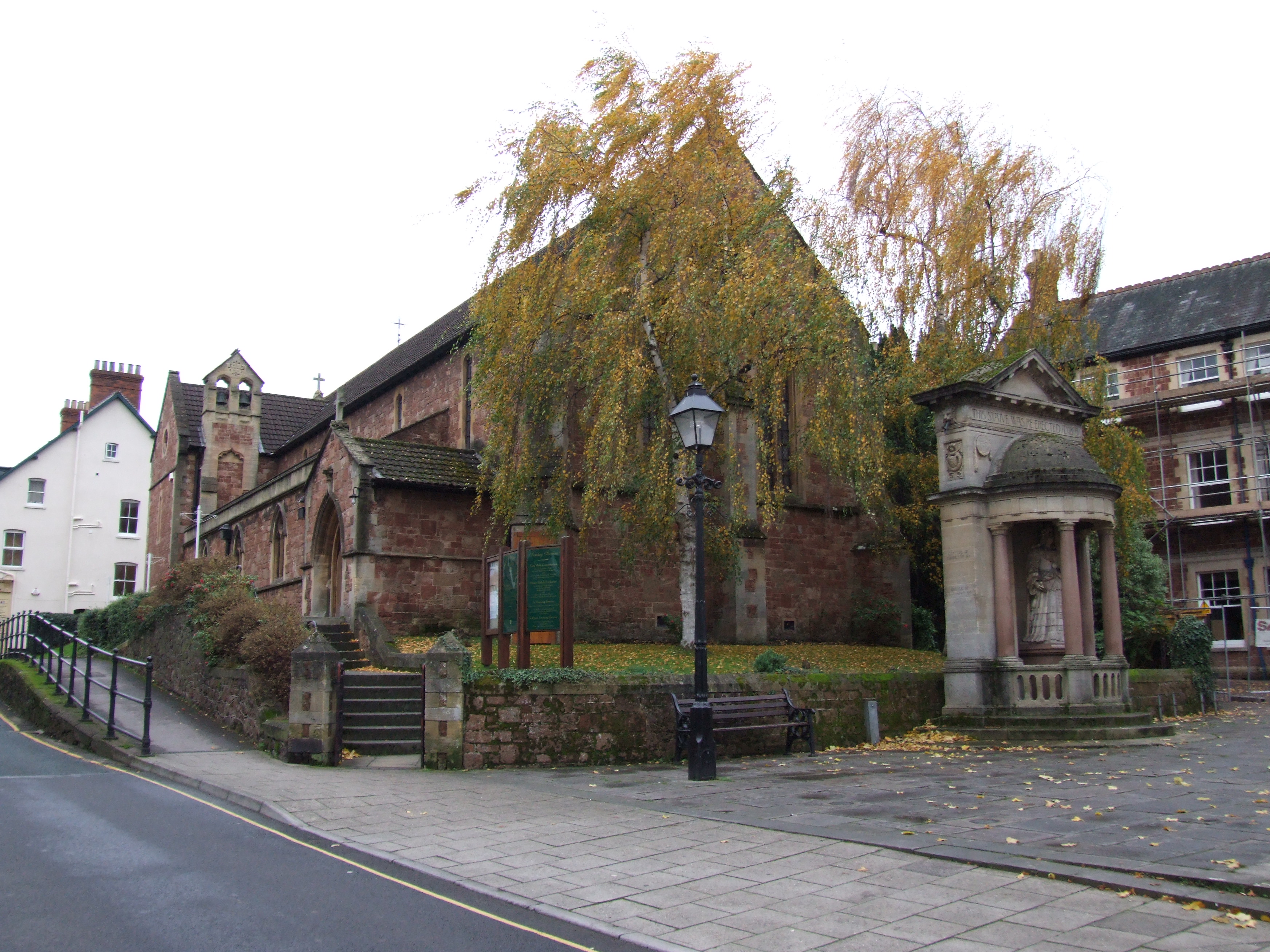
Images are sourced within 2km of 51.207/-3.51 or Grid Reference SS9446. Thanks to Geograph Open Source API. All images are credited.

Entrance to Brook Close
Paths through 'The Parks', Minehead
Mature Poplar tree in  'The Parks', Minehead
Mature Poplar tree in 'The Parks', Minehead
Model railway exhibition at Sainsbury Hall
Path junction above Woodcombe
WW2 radar station on North Hill
The colours of mid summer on North Hill
View towards Headon Cross
Path, above Wood Coombe
South West Coast Path The South West Coast Path National Trail - 630 miles of superb coastal walking. From Minehead on the edge of the Exmoor National Park to the shores of Poole Harbour in Dorset. It is the longest of all Britain's National Trails.
Website: <span class="nowrap"><a title="http://www.southwestcoastpath.com/" rel="nofollow ugc noopener" href="http://www.southwestcoastpath.com/">Link</a><img style="margin-left:2px;" alt="External link" title="External link - shift click to open in new window" src="https://s1.geograph.org.uk/img/external.png" width="10" height="10"/></span>
South West Coast Path
The South West Coast Path National Trail - 630 miles of superb coastal walking. From Minehead on the edge of the Exmoor National Park to the shores of Poole Harbour in Dorset. It is the longest of all Britain's National Trails. Website: LinkExternal link
Ordnance Survey Cut Mark This OS cut mark can be found on the wall of Nutscale. It marks a point 48.048m above mean sea level.
Ordnance Survey Cut Mark
This OS cut mark can be found on the wall of Nutscale. It marks a point 48.048m above mean sea level.
Ordnance Survey Cut Mark This OS cut mark can be found on the gatepost of Dunboyne. It marks a point 59.983m above mean sea level.
Ordnance Survey Cut Mark
This OS cut mark can be found on the gatepost of Dunboyne. It marks a point 59.983m above mean sea level.
Ordnance Survey Flush Bracket (G4820) This OS Flush Bracket can be found on the roadside barn at Bratton Court. It marks a point 66.569m above mean sea level.
Ordnance Survey Flush Bracket (G4820)
This OS Flush Bracket can be found on the roadside barn at Bratton Court. It marks a point 66.569m above mean sea level.
Ordnance Survey Cut Mark This OS cut mark can be found on the wall of Kelton Lodge. It marks a point 52.768m above mean sea level.
Ordnance Survey Cut Mark
This OS cut mark can be found on the wall of Kelton Lodge. It marks a point 52.768m above mean sea level.
Ordnance Survey Cut Mark This OS cut mark can be found on the gatepost of Huntspill. It marks a point 34.354m above mean sea level.
Ordnance Survey Cut Mark
This OS cut mark can be found on the gatepost of Huntspill. It marks a point 34.354m above mean sea level.
Ordnance Survey Cut Mark This OS cut mark can be found on the gatepost of Lower Cleeve. It marks a point 28.129m above mean sea level.
Ordnance Survey Cut Mark
This OS cut mark can be found on the gatepost of Lower Cleeve. It marks a point 28.129m above mean sea level.
Show me another place!

Bratton Court is located at Grid Ref: SS9446 (Lat: 51.207, Lng: -3.51)

Administrative County: Somerset

District: Somerset West and Taunton

Police Authority: Avon and Somerset

What 3 Words

///submitted.expiring.stand. Near Minehead, Somerset

Related Wikis

Bratton Court

Bratton Court in the hamlet of Bratton within the parish of Minehead Without, Somerset, England was built as a manor house, with a 14th-century open hall...

Minehead Without

Minehead Without is a civil parish in the English county of Somerset, and within the Exmoor National Park. As its name suggests, the parish covers a rural...

Chapel of St Leonard, Tivington

The Anglican Chapel of St Leonard in Tivington, Somerset, England was built in the mid 14th century as a chapel of ease. It is a Grade II* listed building...

Church of St Michael, Minehead

The Anglican Church of St Michael in Minehead, Somerset, England was built in the 15th century. It is a Grade II* listed building. == History == The church...

Statue of Queen Anne, Minehead

The Statue of Queen Anne in Minehead, Somerset, England was built in 1719. It is a Grade II* listed building. == History == The statue depicts Queen Anne...

St Andrew's Church, Minehead

St Andrew's Church is a Church of England church in Minehead, Somerset, England. Designed by George Edmund Street, it was built in 1877–80 and has been...
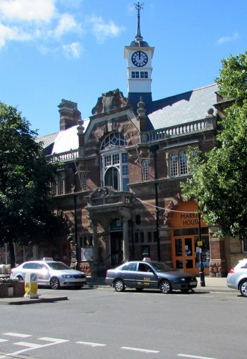
Minehead Town Hall

Minehead Town Hall is a municipal building in The Parade, Minehead, Somerset, England. The structure, which is the meeting place of Minehead Town Council...

The Kildare Lodge Inn

The Kildare Lodge Inn in Minehead, Somerset, England, was built in 1905/6, and is located at 18 Townsend Road, to the south east of the town centre of...

Nearby Amenities

Located within 500m of 51.207,-3.51
Ford: yes
Lat/Long: 51.2049254/-3.5093761
Bratton
Place: hamlet
Lat/Long: 51.2050915/-3.5095067
Power: pole
Source: bing
Lat/Long: 51.2034119/-3.5140445
Power: pole
Source: bing
Lat/Long: 51.2036426/-3.5138427
Power: pole
Source: bing
Lat/Long: 51.2035518/-3.5136268
Power: pole
Source: bing
Lat/Long: 51.2061566/-3.5034867
Power: pole
Source: bing
Lat/Long: 51.2040131/-3.5051402
Power: pole
Source: bing
Lat/Long: 51.2049786/-3.5054635
Power: pole
Source: bing
Lat/Long: 51.2060575/-3.5047004
Power: pole
Source: bing
Lat/Long: 51.2058499/-3.5057679
Power: pole
Source: bing
Lat/Long: 51.205413/-3.5080223
Power: pole
Source: bing
Lat/Long: 51.2052713/-3.5095074
Power: pole
Source: bing
Transformer: distribution
Lat/Long: 51.2052357/-3.5089222
Power: pole
Source: bing
Lat/Long: 51.2051483/-3.5093822
Power: pole
Source: bing
Lat/Long: 51.2054995/-3.5105757
Power: pole
Source: bing
Lat/Long: 51.205692/-3.5112436
Power: pole
Source: bing
Transformer: distribution
Lat/Long: 51.2063835/-3.5114636
Power: pole
Source: bing
Lat/Long: 51.2058928/-3.5118994
Power: pole
Source: bing
Lat/Long: 51.2049946/-3.5126746
Power: pole
Source: bing
Lat/Long: 51.2042837/-3.5132848
Power: pole
Source: bing
Lat/Long: 51.2031023/-3.5125056
Power: pole
Source: bing
Lat/Long: 51.2040501/-3.5148485
The data included in this document is from www.openstreetmap.org. The data is made available under ODbL.

Have you been to Bratton Court?

Leave your review of Bratton Court below (or comments, questions and feedback).