Holmingham Wood

Wood, Forest in Devon Mid Devon

England

Holmingham Wood

Bampton : Barnhay Looking along Barnhay in Bampton.
Bampton : Barnhay Credit: Lewis Clarke

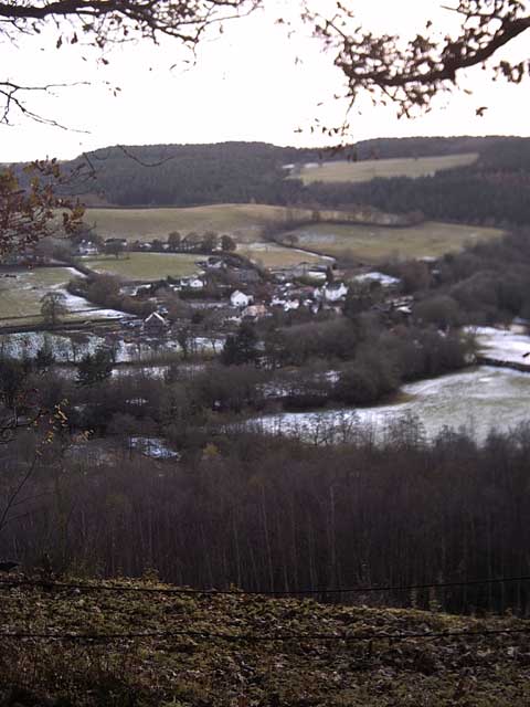
Holmingham Wood is a picturesque woodland located in the county of Devon, England. Covering an area of approximately 100 acres, it is situated near the village of Holmingham and is renowned for its natural beauty and diverse ecosystem.

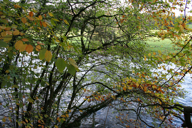
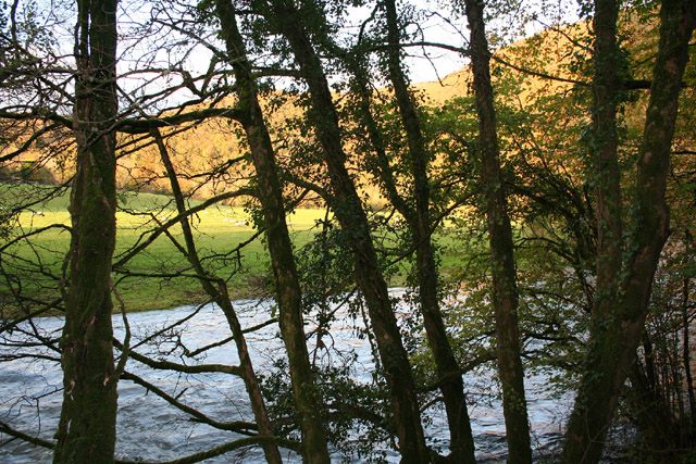
The wood is predominantly composed of native deciduous trees, including oak, beech, and ash, which provide a lush canopy during the summer months. These trees create a serene and tranquil atmosphere, making Holmingham Wood a popular destination for nature enthusiasts and hikers.

The forest floor is adorned with a rich variety of flora, such as bluebells, primroses, and wild garlic, creating a vibrant carpet of colors in the springtime. The undergrowth also provides a habitat for a range of small mammals, including rabbits, squirrels, and badgers, as well as a variety of bird species.

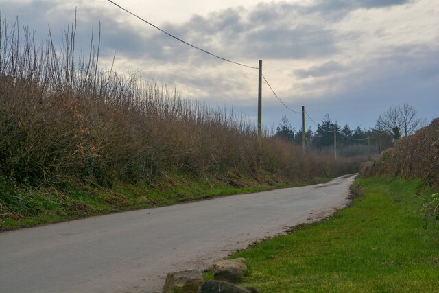
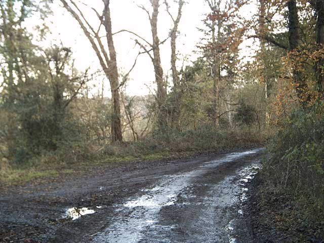
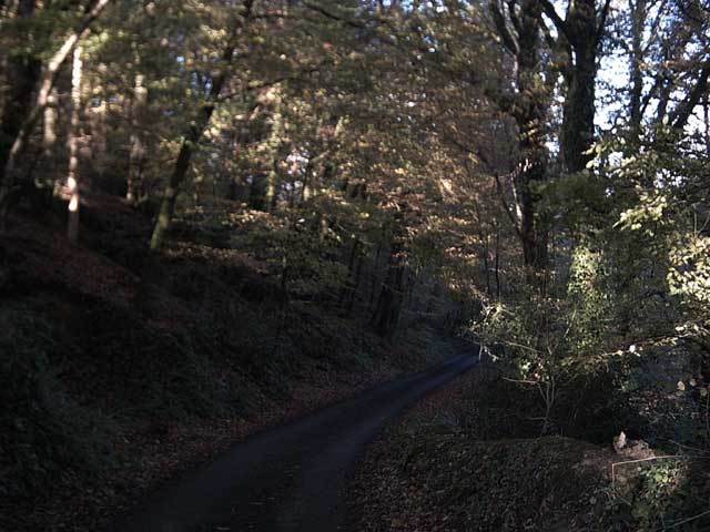
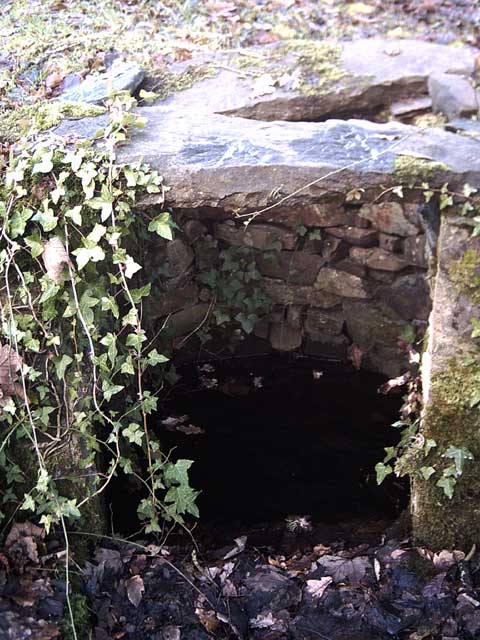
Holmingham Wood is intersected by several well-maintained footpaths, allowing visitors to explore its natural wonders while enjoying the sounds of chirping birds and rustling leaves. The wood is also home to a small stream that meanders through its heart, providing a scenic backdrop to the already stunning landscape.

Local conservation efforts have helped maintain the wood's natural integrity, and it is now designated as a Site of Special Scientific Interest (SSSI) due to its unique biodiversity. The wood is managed by the Holmingham Wood Trust, which organizes educational programs and guided walks to raise awareness about the importance of preserving this natural treasure.

Overall, Holmingham Wood is a captivating woodland, offering visitors a chance to immerse themselves in nature and experience the beauty of Devon's countryside.

If you have any feedback on the listing, please let us know in the comments section below.

Holmingham Wood Images

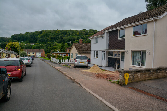
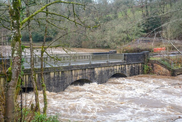
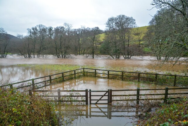
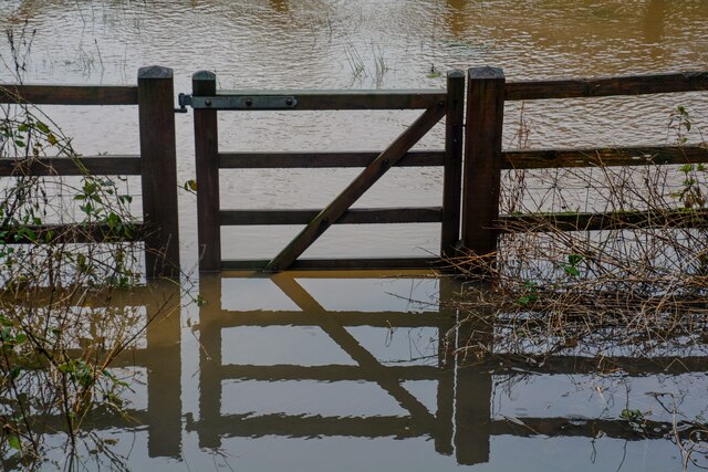
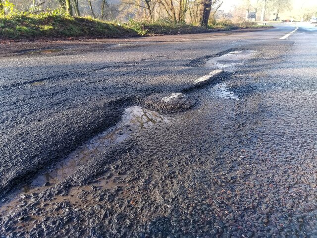
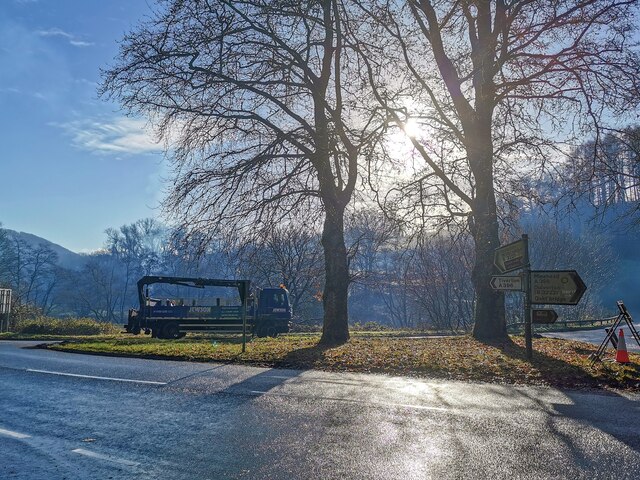
Images are sourced within 2km of 50.972847/-3.498775 or Grid Reference SS9420. Thanks to Geograph Open Source API. All images are credited.

Bampton : Barnhay Looking along Barnhay in Bampton.
Bampton : Barnhay
Looking along Barnhay in Bampton.
Bampton : Fire Station Bampton Fire Station on Barnhay.
Bampton : Fire Station
Bampton Fire Station on Barnhay.
Bampton : The Old Vicarage Garden A garden at the Old Vicarage.
Bampton : The Old Vicarage Garden
A garden at the Old Vicarage.
Stoodleigh : Country Lane A small lane heading through the countryside.
Stoodleigh : Country Lane
A small lane heading through the countryside.
Bampton : Bampton Church of England Primary School The school in Bampton.
Bampton : Bampton Church of England Primary School
The school in Bampton.
Oakford : Stuckeridge Bridge Road bridge over the River Exe. Probably early C19, C20 parapets. Dressed stone brought to course, steel parapet balustrades. 3-span bridge with segmental arches and cutwaters. Road and bridge not shown on 1809 OS map, probably a turnpike road and bridge.
Oakford : Stuckeridge Bridge
Road bridge over the River Exe. Probably early C19, C20 parapets. Dressed stone brought to course, steel parapet balustrades. 3-span bridge with segmental arches and cutwaters. Road and bridge not shown on 1809 OS map, probably a turnpike road and bridge.
Bampton : River Exe The River Exe has burst its banks.
Bampton : River Exe
The River Exe has burst its banks.
Bampton : Gate A gate which has been flooded by the River Exe.
Bampton : Gate
A gate which has been flooded by the River Exe.
Bampton : A396 A pothole which had just torn my tyre to shreds.
Bampton : A396
A pothole which had just torn my tyre to shreds.
Bampton : A396 Looking across the A396 at Black Cat junction.
Bampton : A396
Looking across the A396 at Black Cat junction.
Bampton : A396 The road is closed due to a fatal fire.
Bampton : A396
The road is closed due to a fatal fire.
Bampton Fire Station Bampton Fire Station, Barnhay, Bampton, Tiverton, Devon.
Bampton Fire Station
Bampton Fire Station, Barnhay, Bampton, Tiverton, Devon.
Tiverton: the Exe at Cove Cleave The river flows strongly after the early November rains
Tiverton: the Exe at Cove Cleave
The river flows strongly after the early November rains
Tiverton: the Exe at Cove Cleave The river flows strongly after the early November rains
Tiverton: the Exe at Cove Cleave
The river flows strongly after the early November rains
Exe Valley Way near Holmingham Wood The Way leaves the valley and climbs up to the ridge above Holmingham Quarry.
Exe Valley Way near Holmingham Wood
The Way leaves the valley and climbs up to the ridge above Holmingham Quarry.
Exe Valley Way near Bampton So this isn't the Exe Valley, this is the Batherm Valley. But Bampton a nice place to visit so the way goes this way.
Exe Valley Way near Bampton
So this isn't the Exe Valley, this is the Batherm Valley. But Bampton a nice place to visit so the way goes this way.
Well at Holmingham Wood Taken on the Exe Valley Way. This well is 157m above sea level, ~60m above the valley below. I'm not sure how the water gets here.
Well at Holmingham Wood
Taken on the Exe Valley Way. This well is 157m above sea level, ~60m above the valley below. I'm not sure how the water gets here.
View of Cove from Holmingham Woods Taken on the Exe Valley Way. This is the view from the ridge above Holmingham Quarry.
View of Cove from Holmingham Woods
Taken on the Exe Valley Way. This is the view from the ridge above Holmingham Quarry.
Show me another place!

Holmingham Wood is located at Grid Ref: SS9420 (Lat: 50.972847, Lng: -3.498775)

Administrative County: Devon

District: Mid Devon

Police Authority: Devon and Cornwall

What 3 Words

///engineers.chained.safe. Near Tiverton, Devon

Related Wikis

Cove, Devon

Cove is a small village in the county of Devon, England. It is 4 miles north of Tiverton and 2 miles from Bampton in the Exe Valley some 450 feet above...

River Batherm

The River Batherm is a river which flows through Somerset and Devon in England. The river rises on high ground near the village of Sperry Barton, between...

Bampton, Devon

Bampton is a small town and parish in northeast Devon, England, on the River Batherm, a tributary of the River Exe. It is about 6 miles (9.7 km) north...

Bampton Castle, Devon

Bampton Castle in the parish of Bampton, Devon was the seat of the feudal barony of Bampton. It is located on a spur that overlooks the River Batherm....

Castle Close

Castle Close is a circular earthwork located near Stoodleigh in Mid Devon, England at OS grid reference SS937181. It is described on maps as a settlement...

Stoodleigh

Stoodleigh is a village and civil parish in the Mid Devon district of Devon, England, located 6 miles (10 km) north of Tiverton and 5 miles (8 km) south...

Oakfordbridge

Oakfordbridge is a village in Devon, England. == References == The geographic coordinates are from the Ordnance Survey. == External links == Media related...

Oakford, Devon

Oakford is a village and civil parish in the Mid Devon district of Devon, England. It is located three miles (5 km) south west of Bampton and eight miles...

Nearby Amenities

Located within 500m of 50.972847,-3.498775
Tourism: hostel
Lat/Long: 50.9751791/-3.5045434
Halfpenny Cross
Junction: yes
Lat/Long: 50.97576/-3.4946563
Power: pole
Source: bing
Lat/Long: 50.9760495/-3.5024311
Power: pole
Source: bing
Lat/Long: 50.9756807/-3.5038608
Power: pole
Source: bing
Lat/Long: 50.9758673/-3.503138
Power: pole
Source: bing
Lat/Long: 50.9766307/-3.5001755
Power: pole
Source: bing
Lat/Long: 50.9769296/-3.499006
Power: pole
Source: bing
Lat/Long: 50.9772201/-3.4978876
The data included in this document is from www.openstreetmap.org. The data is made available under ODbL.

Have you been to Holmingham Wood?

Leave your review of Holmingham Wood below (or comments, questions and feedback).