Clapham Common
Settlement in Surrey
England
Clapham Common
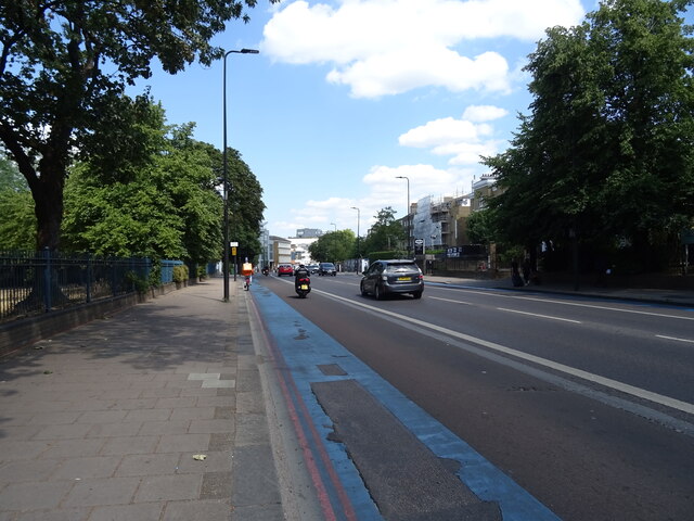
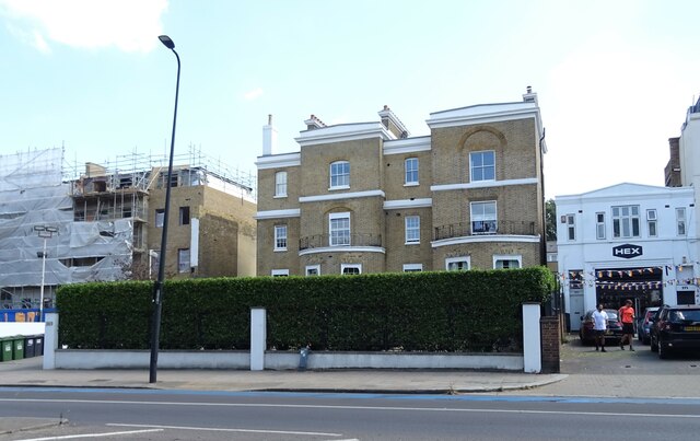
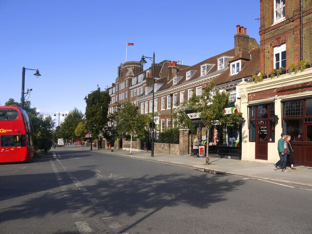
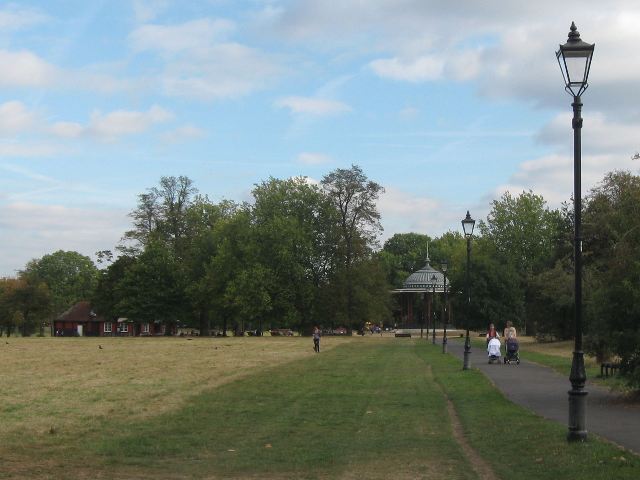
Clapham Common is a large urban park located in the London Borough of Lambeth, in the southern part of London. Despite its name, it is not actually situated in Surrey, but rather in the county of Greater London. Covering an area of approximately 220 acres, Clapham Common is one of the largest open spaces in the city.
The park is known for its beautiful green spaces, picturesque ponds, and a diverse range of flora and fauna. It offers a tranquil escape from the hustle and bustle of city life, attracting both locals and tourists alike. Clapham Common boasts a rich history dating back to the 17th century when it was used as a grazing area for livestock. Over the years, it has evolved into a popular recreational space, offering a wide range of amenities and activities.
Visitors to Clapham Common can enjoy walking and jogging along its numerous paths, having picnics on its well-maintained lawns, or simply relaxing and soaking up the sun. The park also features several sports facilities, including cricket pitches, football fields, and tennis courts, making it an ideal spot for outdoor sports enthusiasts.
In addition to its natural beauty and recreational facilities, Clapham Common hosts various events and festivals throughout the year. These include music concerts, charity runs, and cultural celebrations, attracting a diverse and vibrant crowd.
Overall, Clapham Common provides a serene and vibrant haven in the heart of London, offering something for everyone to enjoy.
If you have any feedback on the listing, please let us know in the comments section below.
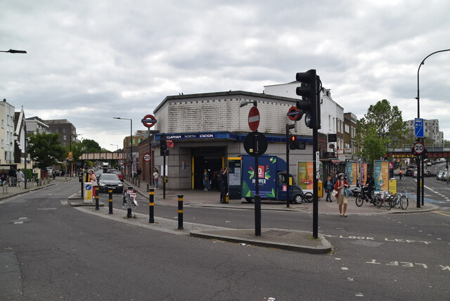
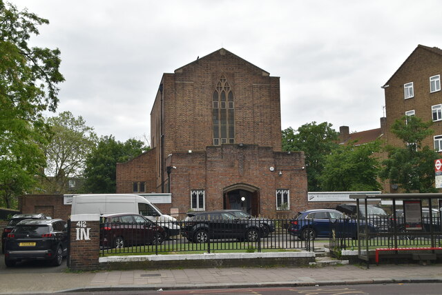
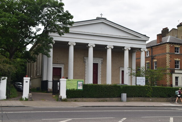
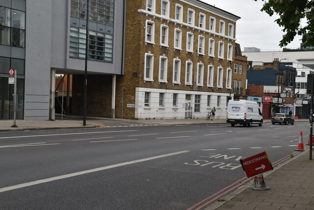
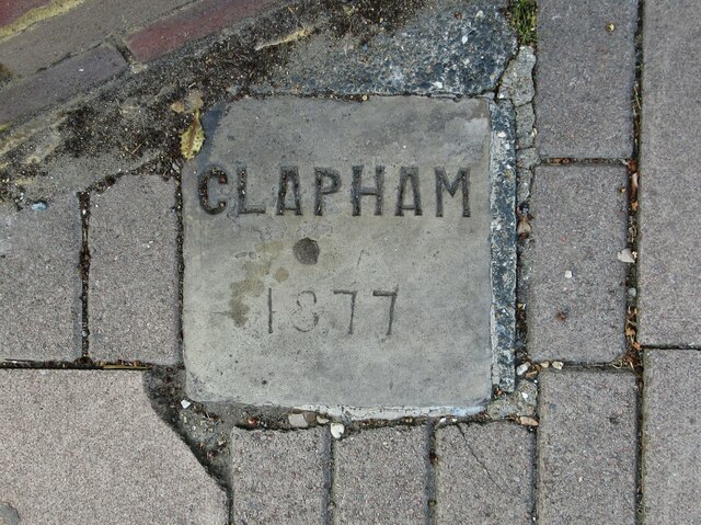
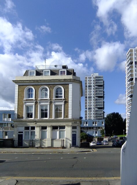
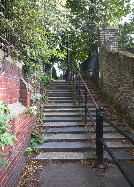
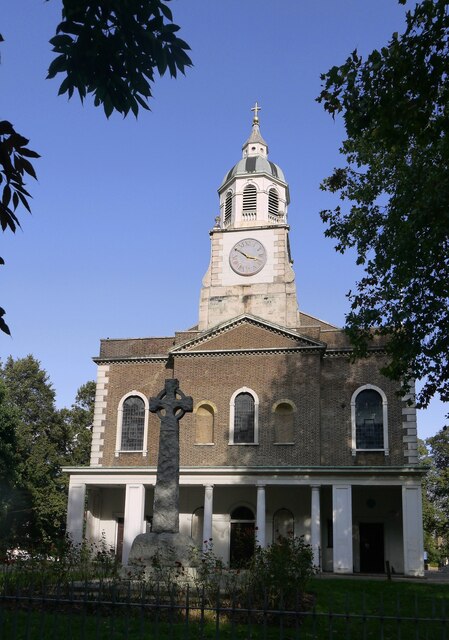
Clapham Common Images
Images are sourced within 2km of 51.457109/-0.150405 or Grid Reference TQ2874. Thanks to Geograph Open Source API. All images are credited.

Clapham Common is located at Grid Ref: TQ2874 (Lat: 51.457109, Lng: -0.150405)
Unitary Authority: Wandsworth
Police Authority: Metropolitan
What 3 Words
///rocky.lamp.venues. Near Brixton Hill, London
Nearby Locations
Related Wikis
Clapham Common
Clapham Common is a large triangular urban park in Clapham, south London, England. Originally common land for the parishes of Battersea and Clapham, it...

Clapham Common Northside
Clapham Common Northside is a road in South West London. One part of it is the A3 which leads to Portsmouth. The 19th-century composer Edvard Grieg stayed...

South London Hospital for Women and Children
The South London Hospital for Women and Children was a general hospital treating women and children on Clapham Common in London, UK. It was also known...

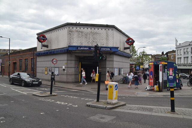
Clapham South tube station
Clapham South is a station on London Underground's Northern line between Clapham Common and Balham. The station is located at the corner of Balham Hill...

Clapham College
Clapham College was a Roman Catholic secondary school for boys in South London. == Background == It opened in 1897 and closed in 1989. Its history falls...
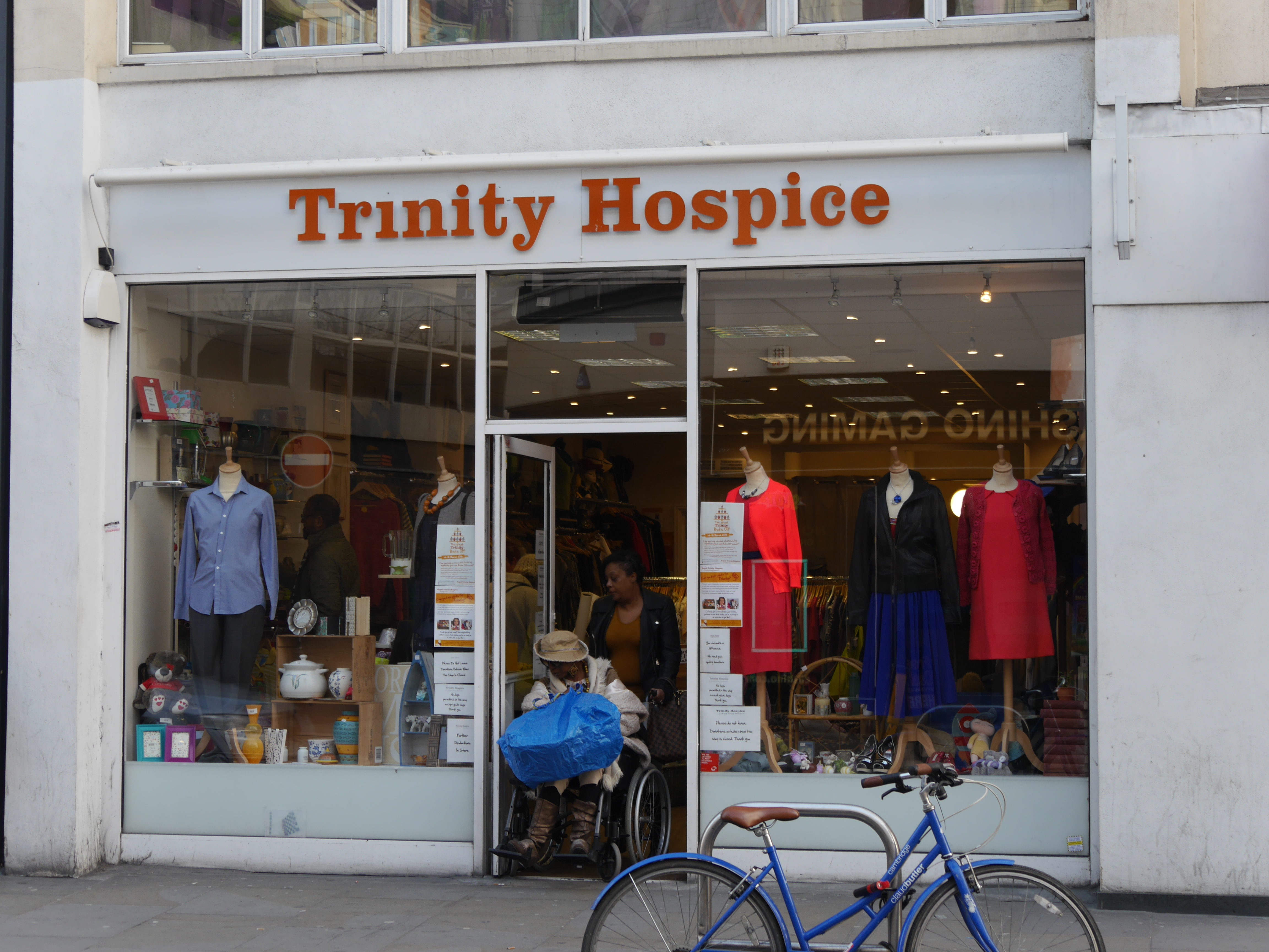
Royal Trinity Hospice
Royal Trinity Hospice is the oldest hospice in the United Kingdom; it was founded in 1891 by a member of the Hoare banking family. It is located in Clapham...
Saint Francis Xavier College, Clapham
Saint Francis Xavier College is a Roman Catholic sixth form college in South West London, England. It is located on the borders of Wandsworth and Lambeth...
Lambeth Academy
The Elms Academy is a mixed secondary academy in the London borough of Lambeth. Its sponsor is United Learning. == Admissions == The Elms Academy is owned...
Nearby Amenities
Located within 500m of 51.457109,-0.150405Have you been to Clapham Common?
Leave your review of Clapham Common below (or comments, questions and feedback).