Clapham
Settlement in Surrey
England
Clapham
Clapham is a small village located in the county of Surrey, England. Situated approximately five miles south-west of Bedford, Clapham is known for its picturesque countryside and charming atmosphere.
The village is surrounded by rolling hills and offers stunning views of the nearby River Great Ouse. It boasts a rich history, with evidence of human settlement dating back to the Neolithic period. Many historical landmarks can be found in Clapham, including the 13th-century All Saints Church, which is a prominent feature of the village.
Despite its small size, Clapham offers a range of amenities and facilities for its residents and visitors. The village has a primary school, a post office, a local convenience store, and several pubs and restaurants. The community is known for its strong sense of unity and friendly atmosphere, making it a popular destination for families and those seeking a peaceful countryside retreat.
Clapham is also well-connected to the surrounding areas. The nearby town of Bedford provides access to a wider range of shopping, leisure, and entertainment options. The village is conveniently located near major transport links, including the A6 road, which connects to the M1 motorway, making it easily accessible by car.
Overall, Clapham in Surrey offers a tranquil and picturesque setting, with a rich history and a close-knit community. It provides the perfect balance between a rural lifestyle and access to nearby amenities, making it an attractive place to live or visit.
If you have any feedback on the listing, please let us know in the comments section below.
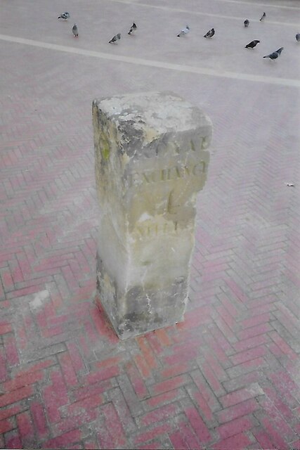
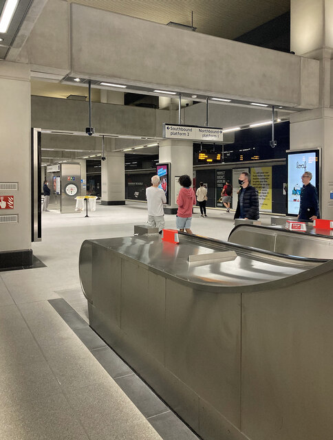
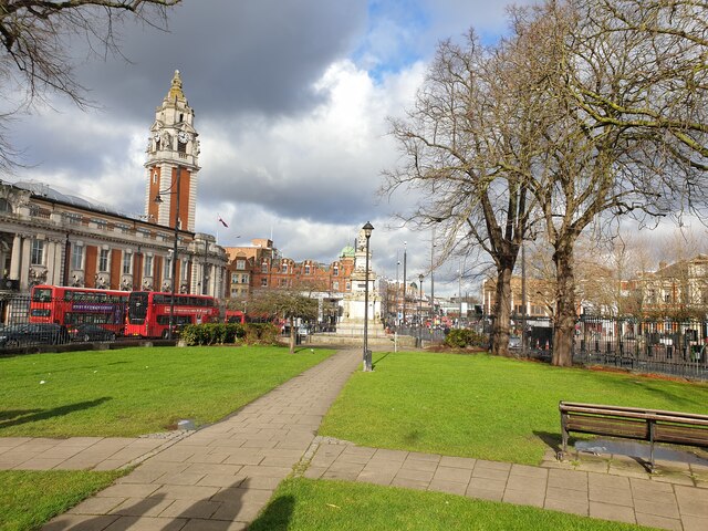
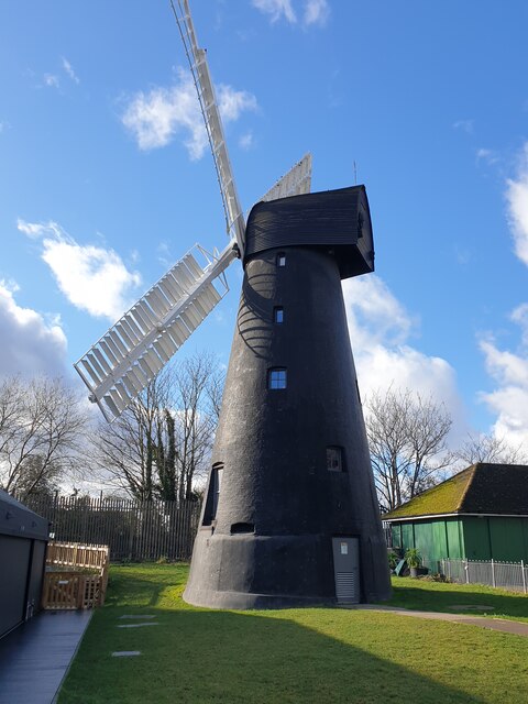
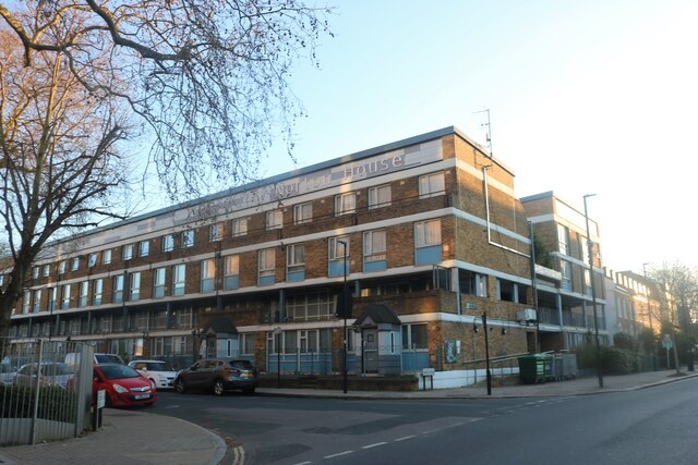
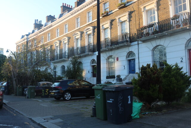
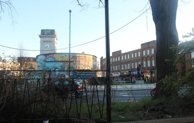
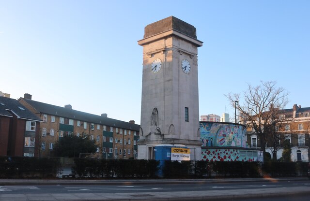
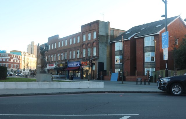
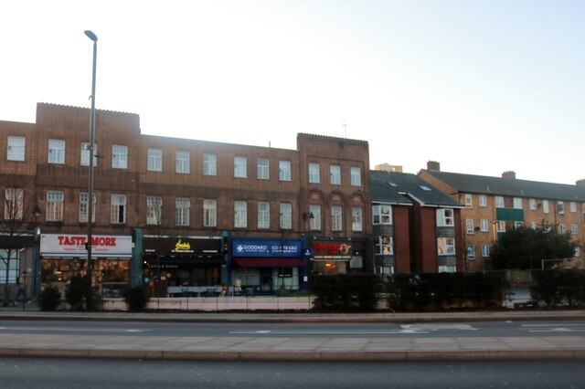
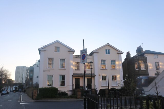
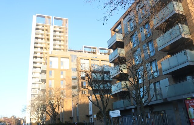
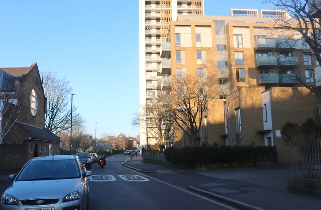
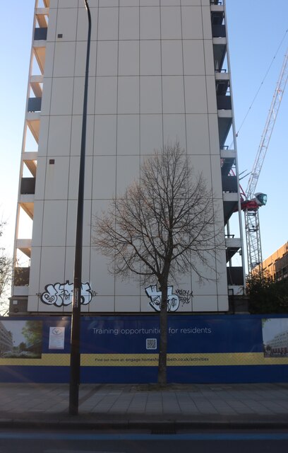
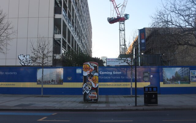
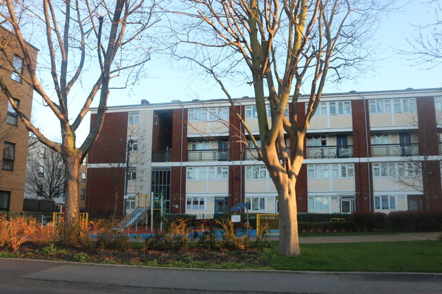
Clapham Images
Images are sourced within 2km of 51.46724/-0.139195 or Grid Reference TQ2975. Thanks to Geograph Open Source API. All images are credited.


Clapham is located at Grid Ref: TQ2975 (Lat: 51.46724, Lng: -0.139195)
Unitary Authority: Lambeth
Police Authority: Metropolitan
What 3 Words
///inspector.brains.having. Near Battersea, London
Related Wikis
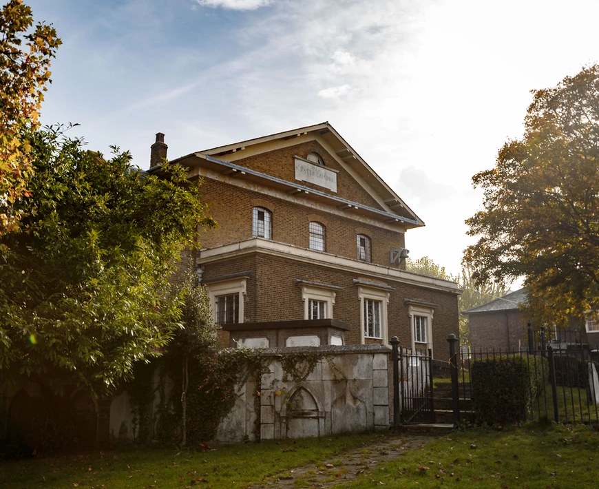
St Paul's Church, Clapham
St Paul's Church is a Church of England parish church in Clapham, London. There has been a church on the site since the 12th century. The current building...

The Bobbin, Clapham
The Bobbin is a pub at 1–3 Lillieshall Road, Clapham, London SW4. It is a Grade II listed building, originally The Tim Bobbin, dating back to the late...

575 Wandsworth Road
575 Wandsworth Road, London, was the home of Kenyan poet and civil servant Khadambi Asalache until his death in 2006. Following his death he left it to...

Clapham Town (ward)
Clapham Town is an administrative division of the London Borough of Lambeth, England. The ward contains much of Clapham including part of Clapham Common...

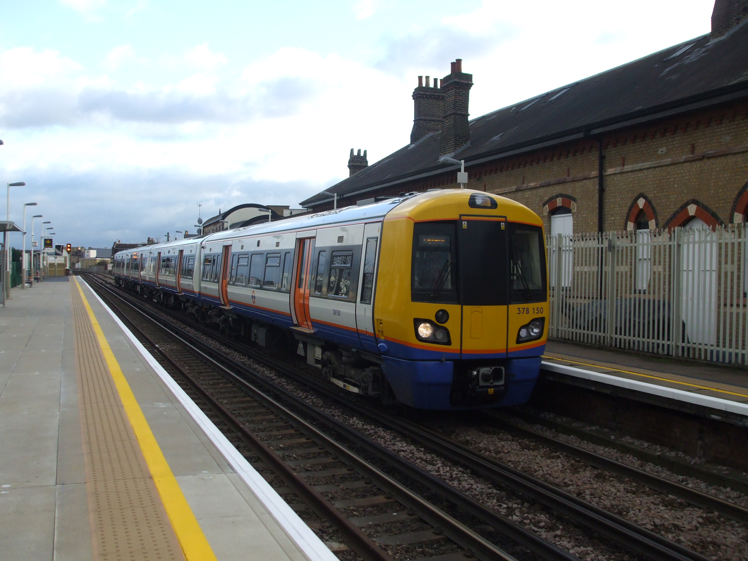
Wandsworth Road railway station
Wandsworth Road railway station (WWR) is a National Rail station between Battersea and Clapham in south London. It is served by London Overground services...
Clapham High Street railway station
Clapham High Street railway station is on the South London line in Clapham, within the London Borough of Lambeth, Greater London. It is 6 miles 21 chains...
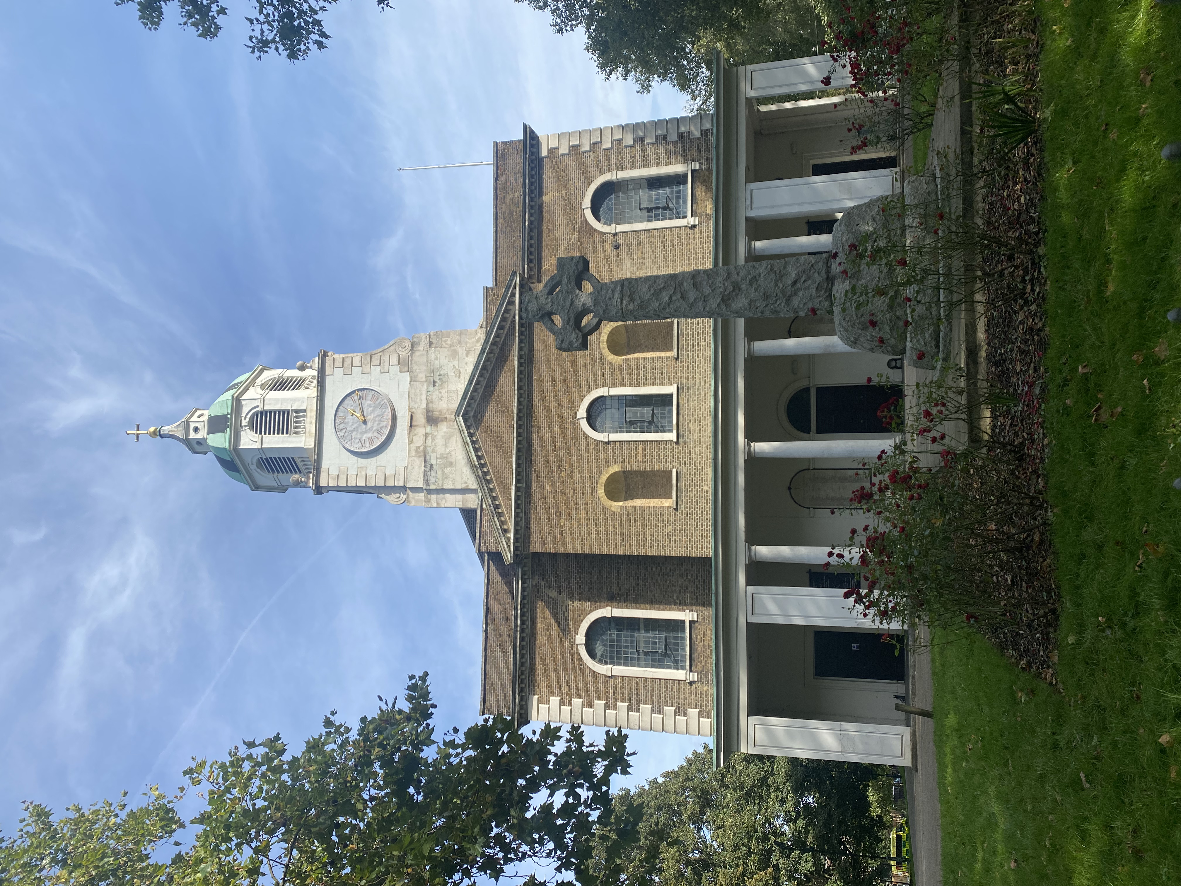
Holy Trinity Church, Clapham
The Holy Trinity Church is an Anglican church located in Clapham, London. Completed in 1776, it was the base for the so-called Clapham Sect who worshipped...
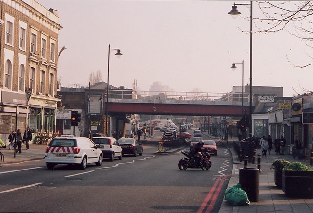
Clapham High Street
Clapham High Street is the main through road and shopping area in Clapham, South London, England, in the London Borough of Lambeth. == History == On Clapham...
Nearby Amenities
Located within 500m of 51.46724,-0.139195Have you been to Clapham?
Leave your review of Clapham below (or comments, questions and feedback).