Mount Pond
Lake, Pool, Pond, Freshwater Marsh in Surrey
England
Mount Pond
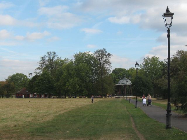
Mount Pond is a picturesque freshwater body located in the county of Surrey, England. Situated in the serene and tranquil surroundings of the village of Mount, it serves as a delightful recreational spot for both locals and visitors alike. Spanning across a modest area, the pond is often referred to as a lake due to its size and scenic beauty.
The pond is nestled amidst lush greenery, with its crystal-clear waters reflecting the vibrant colors of the surrounding landscape. Its shores are lined with tall trees, providing shade and a sense of serenity to those who frequent the area. The calm and peaceful atmosphere makes it an ideal destination for nature lovers and those seeking a respite from the bustle of everyday life.
Mount Pond is not only a visual treat, but it also plays a vital role in the local ecosystem. It serves as a habitat for a diverse range of flora and fauna, including various species of birds, fish, and aquatic plants. The freshwater marshes surrounding the pond provide essential breeding grounds for amphibians and other small creatures, contributing to the overall biodiversity of the area.
Visitors can engage in a variety of activities at Mount Pond, such as fishing, boating, or simply enjoying a leisurely stroll along its shores. The pond is well-maintained, with designated areas for picnics and benches for relaxation. Additionally, there are walking trails that wind through the adjacent woodlands, allowing visitors to explore the natural beauty of the area further.
In conclusion, Mount Pond is a charming freshwater body that offers a serene and idyllic setting for individuals seeking a connection with nature. Its scenic beauty, combined with its ecological significance, makes it a valuable asset to the Surrey countryside.
If you have any feedback on the listing, please let us know in the comments section below.
Mount Pond Images
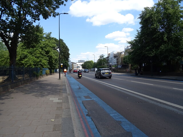
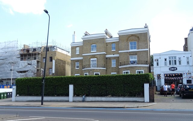
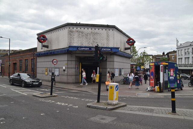
Images are sourced within 2km of 51.456558/-0.15008682 or Grid Reference TQ2874. Thanks to Geograph Open Source API. All images are credited.


Mount Pond is located at Grid Ref: TQ2874 (Lat: 51.456558, Lng: -0.15008682)
Unitary Authority: Wandsworth
Police Authority: Metropolitan
What 3 Words
///total.animal.fork. Near Brixton Hill, London
Nearby Locations
Related Wikis
Clapham Common
Clapham Common is a large triangular urban park in Clapham, south London, England. Originally common land for the parishes of Battersea and Clapham, it...

Clapham alkali attack
On the evening of 31 January 2024, 35-year-old Abdul Ezedi attacked a 31-year-old woman and her two children with a corrosive alkaline substance on a street...

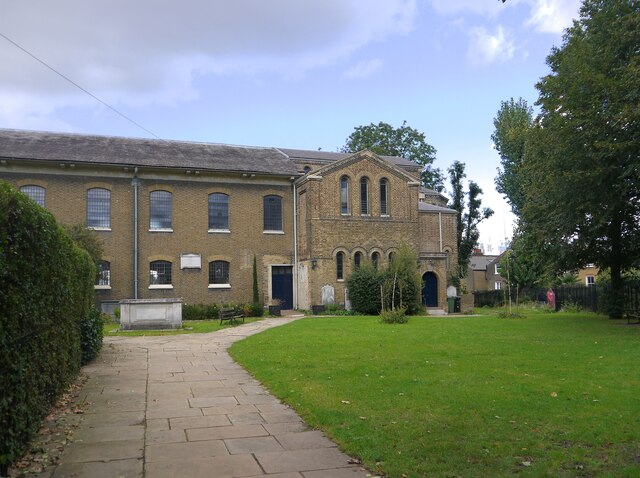
South London Hospital for Women and Children
The South London Hospital for Women and Children was a general hospital treating women and children on Clapham Common in London, UK. It was also known...

Clapham South tube station
Clapham South is a station on London Underground's Northern line between Clapham Common and Balham. The station is located at the corner of Balham Hill...
Nearby Amenities
Located within 500m of 51.456558,-0.15008682Have you been to Mount Pond?
Leave your review of Mount Pond below (or comments, questions and feedback).