Clapham Green
Settlement in Yorkshire Harrogate
England
Clapham Green
Clapham Green is a picturesque village located in the Craven district of North Yorkshire, England. Situated in the Yorkshire Dales National Park, this charming village offers a tranquil and idyllic setting for residents and visitors alike.
Surrounded by breathtaking landscapes, Clapham Green is renowned for its natural beauty, with rolling hills, lush green meadows, and meandering streams. The village itself is characterized by traditional stone-built houses, giving it a distinct rural charm.
At the heart of Clapham Green is its village green, a well-maintained open space that serves as a focal point for community gatherings and events. The green is also home to several ancient trees, providing shade and a serene atmosphere.
Clapham Green boasts a close-knit community where locals are friendly and welcoming. The village is home to a range of amenities, including a primary school, a post office, and a village hall, which hosts various social activities and events throughout the year.
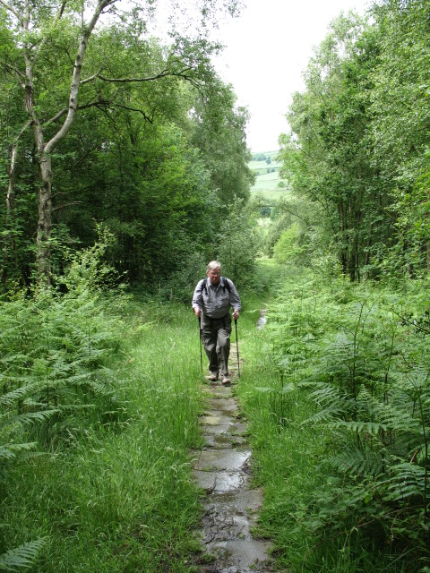
For outdoor enthusiasts, Clapham Green offers an abundance of opportunities for exploration and adventure. The village is located near the famous Ingleborough, one of the Three Peaks of Yorkshire, attracting hikers and climbers from far and wide. The nearby Ingleborough Cave is also a popular tourist attraction, with its stunning underground formations.
In summary, Clapham Green is a picturesque village nestled in the Yorkshire Dales, offering a peaceful and scenic environment. With its strong sense of community and proximity to natural wonders, it is a haven for nature lovers and those seeking a quintessential English countryside experience.
If you have any feedback on the listing, please let us know in the comments section below.
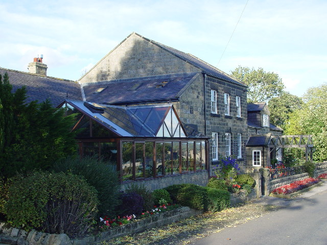
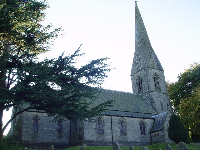
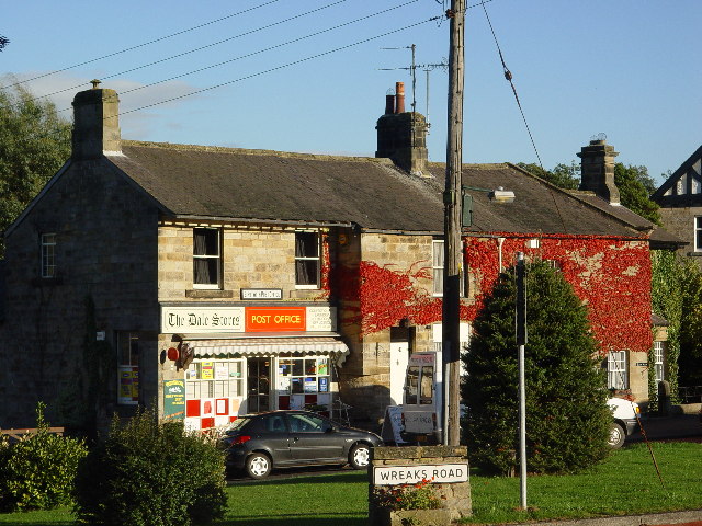
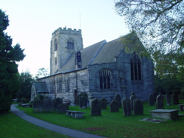
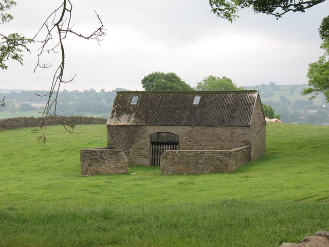
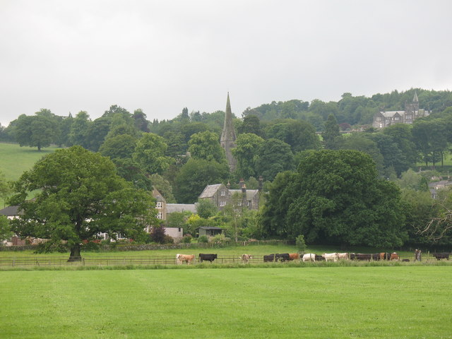
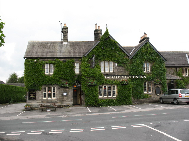
Clapham Green Images
Images are sourced within 2km of 54.035148/-1.630777 or Grid Reference SE2459. Thanks to Geograph Open Source API. All images are credited.
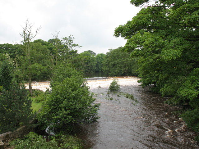
![Mill race, Birstwith The mill race flows from the weir on the Nidd to Birstwith Mill [seen here] which now produces animal feeds.](https://s1.geograph.org.uk/photos/47/10/471065_4ab8444b.jpg)
Clapham Green is located at Grid Ref: SE2459 (Lat: 54.035148, Lng: -1.630777)
Division: West Riding
Administrative County: North Yorkshire
District: Harrogate
Police Authority: North Yorkshire
What 3 Words
///pavilions.craftsman.behaving. Near Harrogate, North Yorkshire
Nearby Locations
Related Wikis

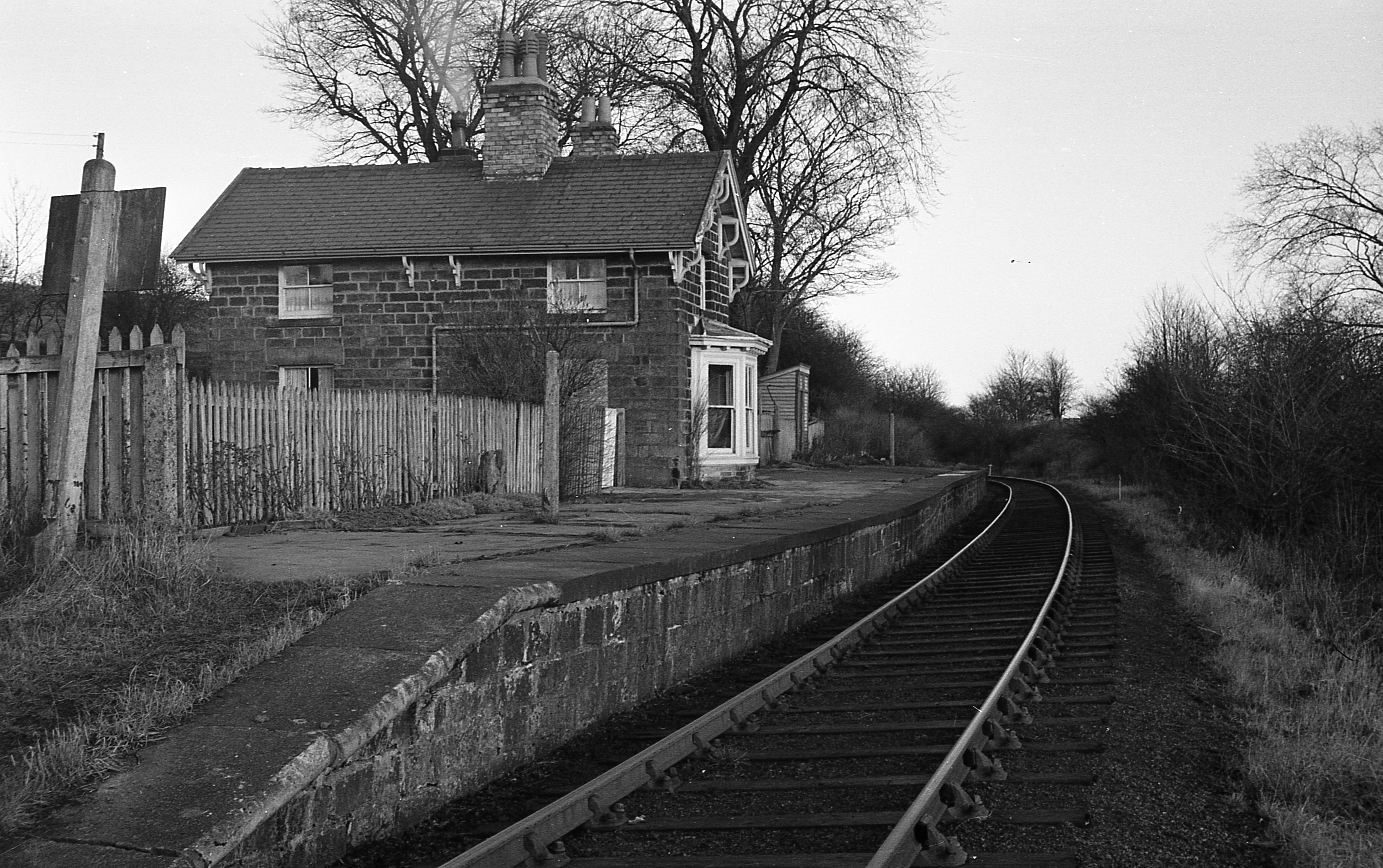
Birstwith railway station
Birstwith railway station served the village of Birstwith, North Yorkshire, England from 1862 to 1964 on the Nidd Valley Railway. == History == The station...

Birstwith
Birstwith is a village and civil parish in the Harrogate district of North Yorkshire, England. It is part of the Nidderdale, and is situated on the River...

Swarcliffe Hall
Swarcliffe Hall is a large hall that was constructed in 1800 in Birstwith, near Harrogate, England. The current house was built by John Greenwood in 1850...

Burnt Yates
Burnt Yates is a village in the Borough of Harrogate in North Yorkshire, England. == Community == The village name possibly derived from 'Burnt Gates'...

Clint, North Yorkshire
Clint is a village in Nidderdale in North Yorkshire, England. It lies on the north bank of the River Nidd, 4 miles north-west of Harrogate. Clint is...

Hampsthwaite
Hampsthwaite is a large village and civil parish in Nidderdale in the Harrogate district of North Yorkshire, England. It lies on the south bank of the...
Hampsthwaite railway station
Hampsthwaite railway station served the village of Hampsthwaite, North Yorkshire, England from 1866 to 1950 on the Nidd Valley Railway. == History == The...

Shaw Mills
Shaw Mills is a hamlet in the civil parish of Bishop Thornton, Shaw Mills and Warsill, in Nidderdale in the Harrogate district, North Yorkshire, England...
Nearby Amenities
Located within 500m of 54.035148,-1.630777Have you been to Clapham Green?
Leave your review of Clapham Green below (or comments, questions and feedback).