Joyce's Cleeve Plantation
Wood, Forest in Somerset Somerset West and Taunton
England
Joyce's Cleeve Plantation
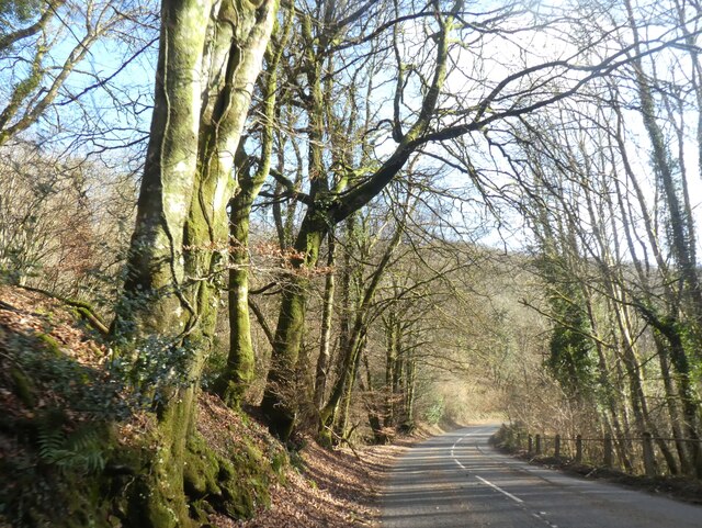
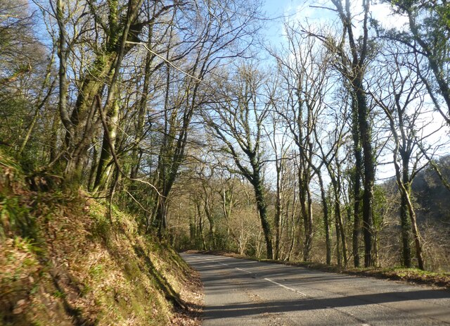
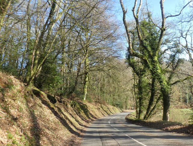
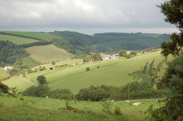
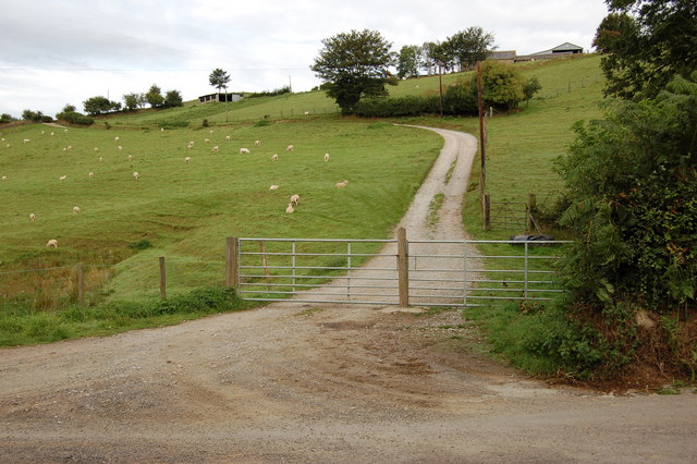
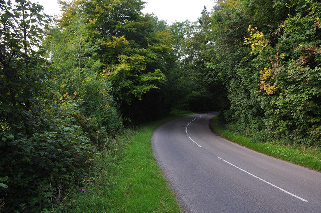
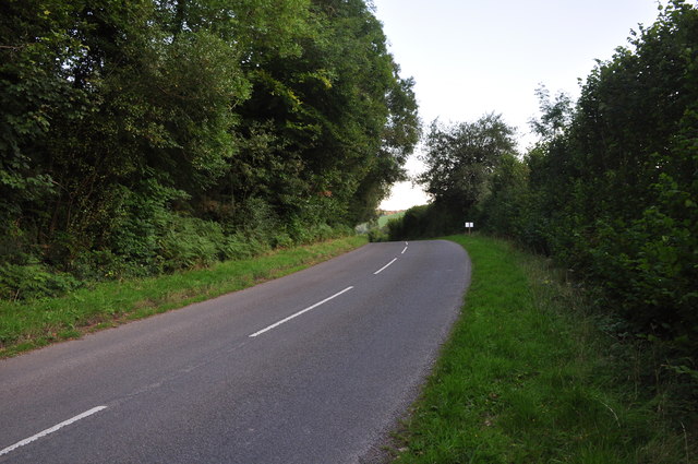
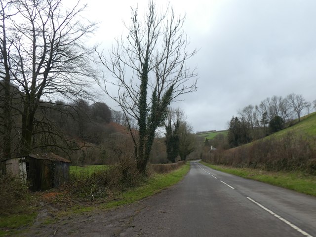
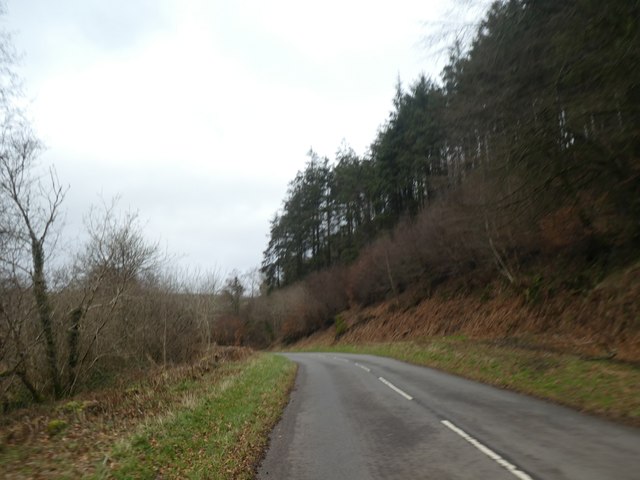
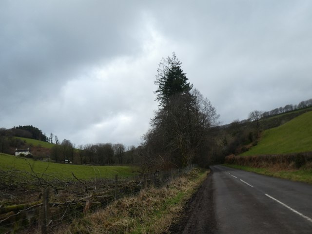
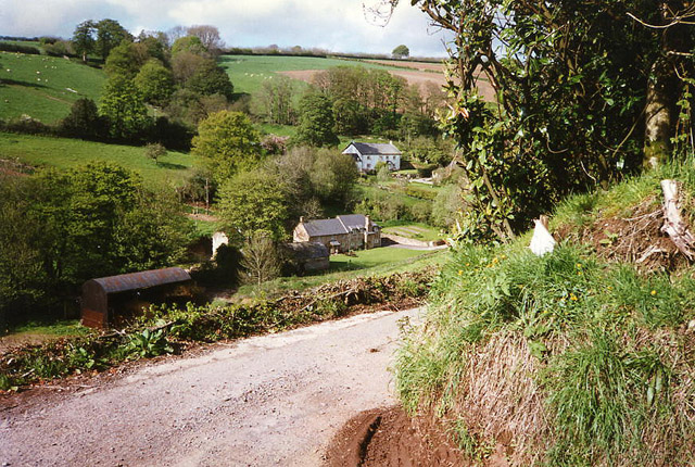
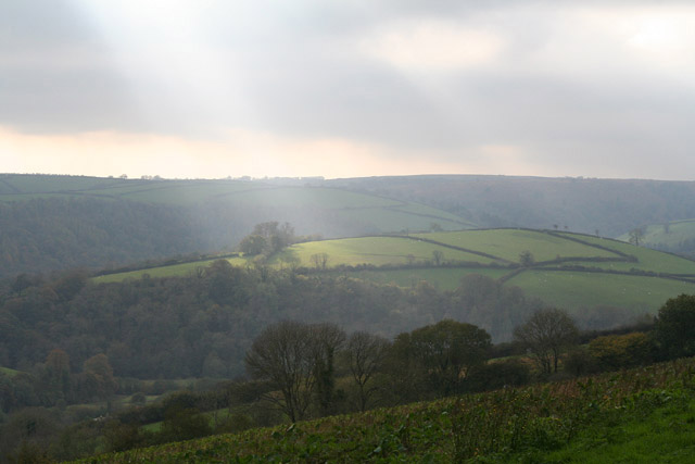
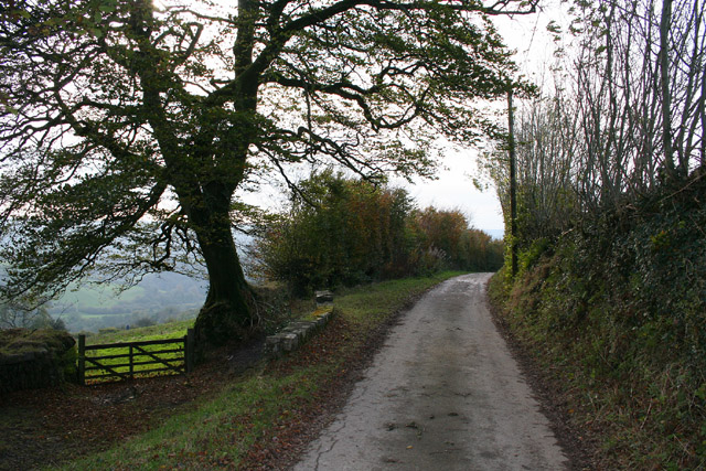
Joyce's Cleeve Plantation is a picturesque woodland located in Somerset, England. Situated in the village of Cleeve, the plantation covers a vast area of approximately 100 acres. It is known for its diverse range of flora and fauna, making it an important ecological site in the region.
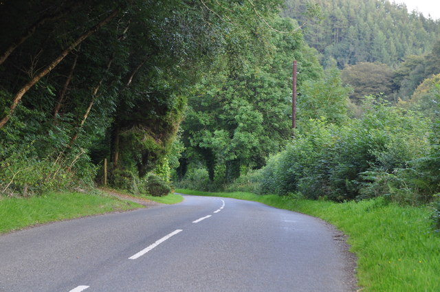
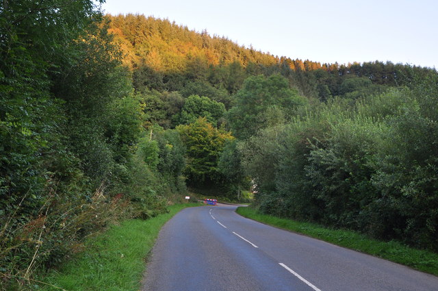
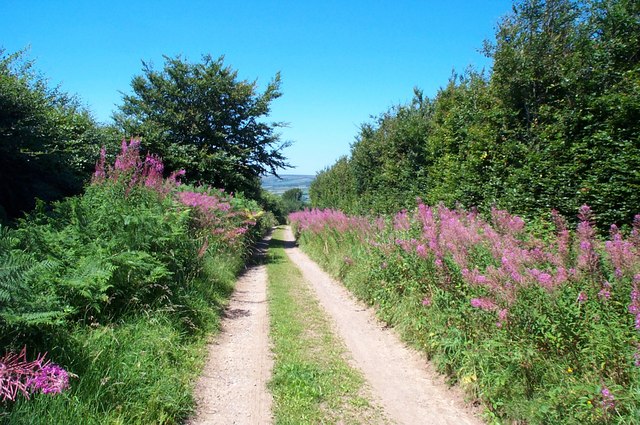
The woodland is primarily composed of deciduous trees, including oak, beech, and ash, which create a dense canopy and provide shelter for a variety of wildlife species. The forest floor is covered in a rich carpet of mosses, ferns, and wildflowers, adding to the enchanting ambiance of the plantation.
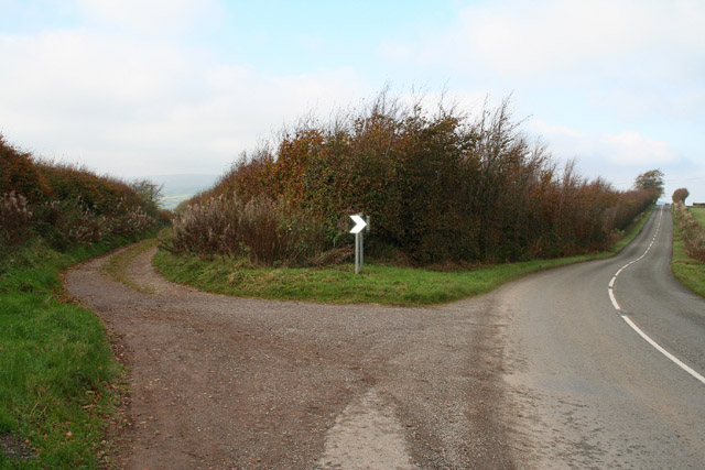
The plantation is crisscrossed by several walking trails, allowing visitors to explore its natural beauty at their own pace. These trails wind through the woodland, leading to hidden ponds and streams that further enhance the tranquility of the area. Wildlife enthusiasts can spot a wide range of animals, including deer, badgers, foxes, and an array of bird species.
Joyce's Cleeve Plantation is not only a haven for nature lovers but also serves as an important conservation site. The woodland is managed by local authorities who ensure the preservation of its natural habitat. Conservation efforts include controlled tree felling, periodic thinning, and the creation of nesting boxes for birds.
The plantation offers a serene and peaceful retreat for visitors, providing an opportunity to connect with nature and appreciate the beauty of a well-preserved woodland ecosystem. Whether it be for a leisurely walk, birdwatching, or simply enjoying the tranquility of the forest, Joyce's Cleeve Plantation is a must-visit destination for nature enthusiasts and those seeking a peaceful escape in Somerset.
If you have any feedback on the listing, please let us know in the comments section below.
Joyce's Cleeve Plantation Images
Images are sourced within 2km of 51.119183/-3.5514731 or Grid Reference SS9136. Thanks to Geograph Open Source API. All images are credited.
Joyce's Cleeve Plantation is located at Grid Ref: SS9136 (Lat: 51.119183, Lng: -3.5514731)
Administrative County: Somerset
District: Somerset West and Taunton
Police Authority: Avon and Somerset
What 3 Words
///dolphins.opposite.clerk. Near Dulverton, Somerset
Related Wikis

Garratts Wood
Garratts Wood is a woodland in Somerset, England, near the village of Winsford. It covers a total area of 1.11 hectares (2.74 acres). It is owned and managed...

Timberscombe
Timberscombe is a village and civil parish on the River Avill 2.5 miles (4 km) south-west of Dunster, and 5.5 miles (9 km) south of Minehead within the...
Winsford, Somerset
Winsford is a village and civil parish in Somerset, England, located about 5 miles (8 km) north-west of Dulverton. It is within the borders of the Exmoor...

Cutcombe
Cutcombe is a village and civil parish 9 miles (14 km) south of Minehead and north of Dulverton straddling the ridge between Exmoor and the Brendon Hills...
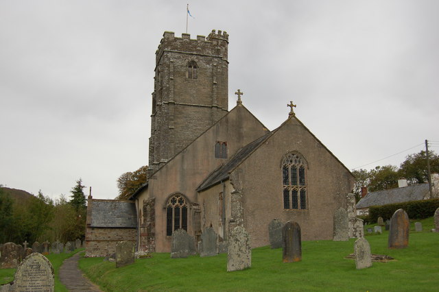
Church of St John, Cutcombe
The Anglican Church of St John in Cutcombe, Somerset, England was built in the 13th and 14th centuries. It is a Grade II* listed building. == History... ==

St Peter's Church, Exton
The Anglican St Peter's Church at Exton within the English county of Somerset has a 13th-century tower and 15th century aisle. It is a Grade II* listed...
Exton, Somerset
Exton is a village and civil parish 5 miles (8 km) north-east of Dulverton and 9 miles (14 km) south-west of Dunster in Somerset, England. It lies on the...

Brendon Hills
The Brendon Hills are a range of hills in west Somerset, England. The hills merge level into the eastern side of Exmoor and are included within the Exmoor...
Related Videos
Exmoor, Devon. Quick view of our holiday cottage and surroundings 😁☀️
We are at Wheddon Cross, Exmoor in Somerst/Devon, England. The location and weather are perfect and I have my own private ...

(Funny comedy) Different Bradley's on holiday
If a holiday can be straight forward...... think again, holiday's always contain drama, welcome to a special addition of my comedy ...

West Bagborough to Bicknoller, Part IV, Great Marrow Hill & Cairn'
After leaving the sleepy hamlet of Triscombe I head upwards following old bridle tracks to the top of Great Marrow Hill and the ...

Somerset Waste Partnership: Recycling collection a day late due to Easter Bank Holiday
Recycling Collection was a day late due to Easter Bank Holiday, Somerset Waste Partnership don't work during public Holidays/ ...
Have you been to Joyce's Cleeve Plantation?
Leave your review of Joyce's Cleeve Plantation below (or comments, questions and feedback).