Hill Copse
Wood, Forest in Devon Mid Devon
England
Hill Copse

Hill Copse is a charming woodland area located in Devon, England. Nestled within the beautiful countryside, it covers an approximate area of 50 acres. The copse is well-known for its diverse range of trees and is often referred to as a forest due to its size and dense foliage.
The woodland is predominantly composed of native British tree species such as oak, beech, and ash. These towering trees provide a lush and verdant canopy, offering shade and shelter to a variety of wildlife. The forest floor is carpeted with a rich undergrowth of ferns, bluebells, and wildflowers, creating a picturesque landscape that is a delight to explore.
Hill Copse boasts numerous walking trails and footpaths, allowing visitors to immerse themselves in the natural beauty of the area. The dense network of paths offers different routes, catering to various levels of fitness and time constraints. Birdwatchers will be thrilled to discover that the copse is home to a wide variety of avian species, including woodpeckers, nuthatches, and jays.
The woodland's tranquil atmosphere and scenic views attract nature enthusiasts, hikers, and families throughout the year. Its location, away from major cities and bustling towns, ensures a peaceful and serene experience for all who visit. Hill Copse is a hidden gem in Devon's countryside, offering a sanctuary for both wildlife and humans alike.
If you have any feedback on the listing, please let us know in the comments section below.
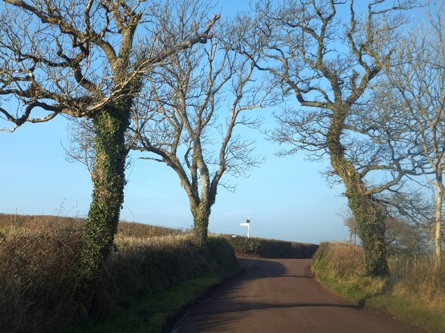
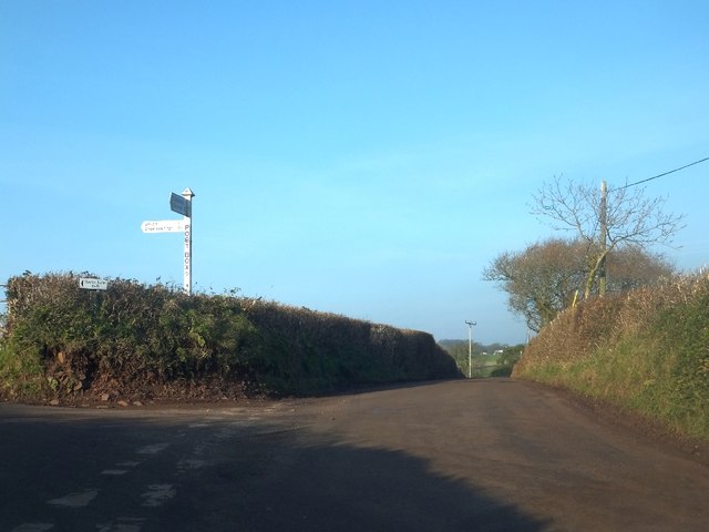
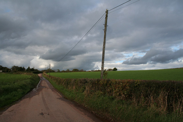
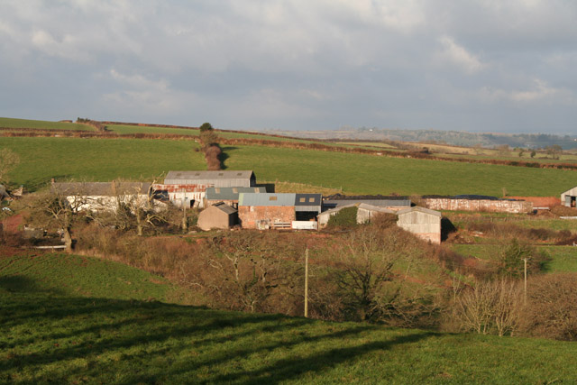
Hill Copse Images
Images are sourced within 2km of 50.870475/-3.5432984 or Grid Reference SS9109. Thanks to Geograph Open Source API. All images are credited.


Hill Copse is located at Grid Ref: SS9109 (Lat: 50.870475, Lng: -3.5432984)
Administrative County: Devon
District: Mid Devon
Police Authority: Devon and Cornwall
What 3 Words
///riots.harnessed.meant. Near Tiverton, Devon
Nearby Locations
Related Wikis
Cadeleigh
Cadeleigh is a small village in the county of Devon in England. It sits in the hills above the valley of the River Exe and is about 15 km (9 miles) north...

The Fisherman's Cot
The Fisherman's Cot is an inn on the A3072 road to the northwest of Bickleigh near Tiverton, in northeastern Devon. It is operated by Marston's Inns and...

Devon Railway Centre
The Devon Railway Centre is in the village of Bickleigh in Mid Devon, England, at the former Cadeleigh railway station on the closed Great Western Railway...
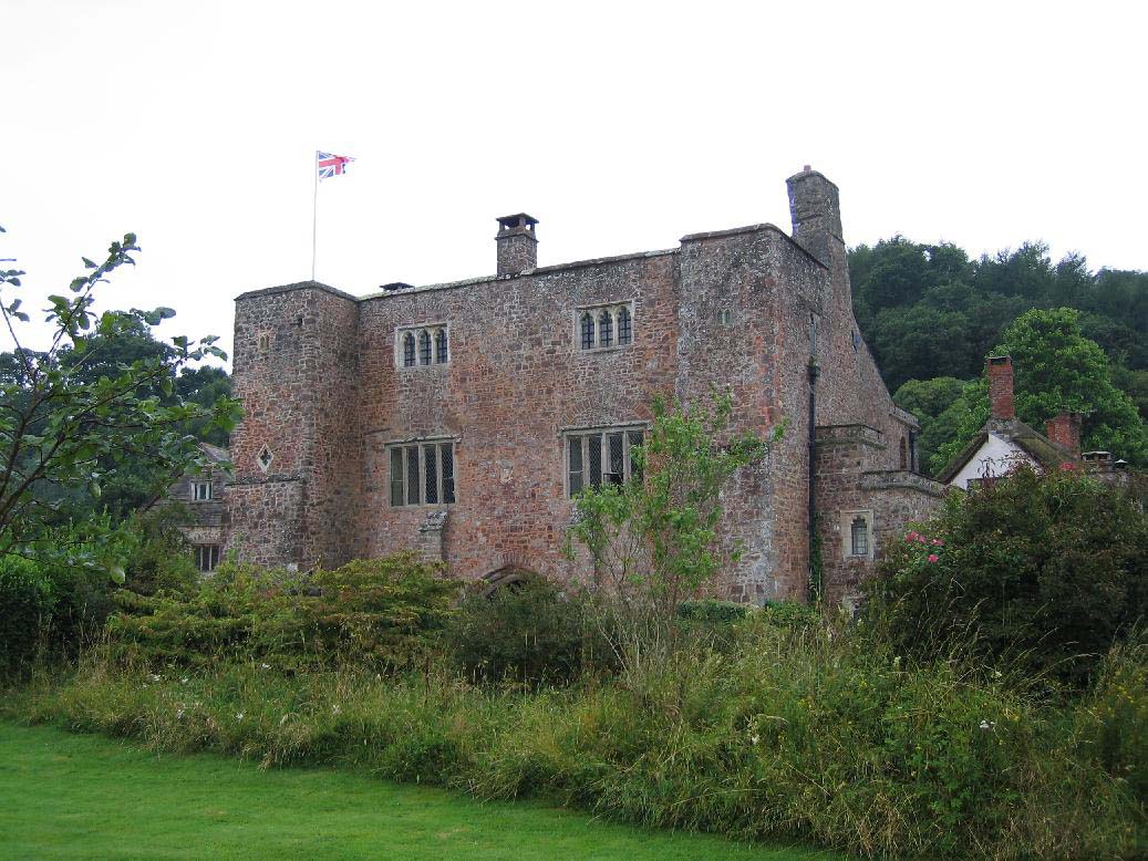
Bickleigh Castle
Bickleigh Castle is a fortified manor house that stands on the banks of the River Exe at Bickleigh in Devon, England. Once considerably larger, Bickleigh...

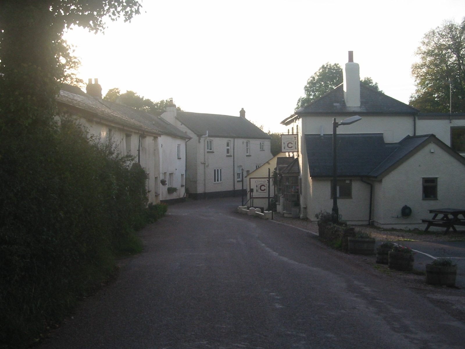
Bickleigh, Mid Devon
Bickleigh is a village and civil parish in the Mid Devon district of Devon, England, about four miles south of Tiverton. It is in the former hundred of...

Cadbury Castle, Devon
Cadbury Castle is an Iron Age Hillfort close to Bickleigh, Devon, England. It was later encamped by the Parliamentarian forces during the English Civil...

Mid Devon
Mid Devon is a local government district in Devon, England. The council is based in the district's largest town of Tiverton. The district also contains...
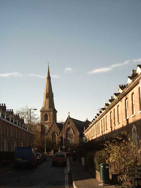
St Paul's Church, Tiverton
St Paul's Church, Tiverton, is a Grade II listed parish church in the Church of England in Tiverton, Devon. == History == The church was built between...
Nearby Amenities
Located within 500m of 50.870475,-3.5432984Have you been to Hill Copse?
Leave your review of Hill Copse below (or comments, questions and feedback).