Ison Cleeve Plantation
Downs, Moorland in Somerset Somerset West and Taunton
England
Ison Cleeve Plantation
Ison Cleeve Plantation is a picturesque area located in Somerset, England. Situated on the Downs and Moorland, this plantation offers stunning natural beauty and a rich history.
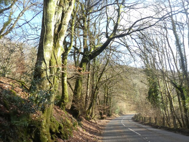
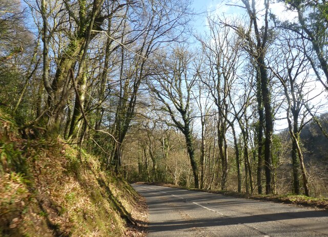
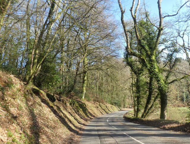
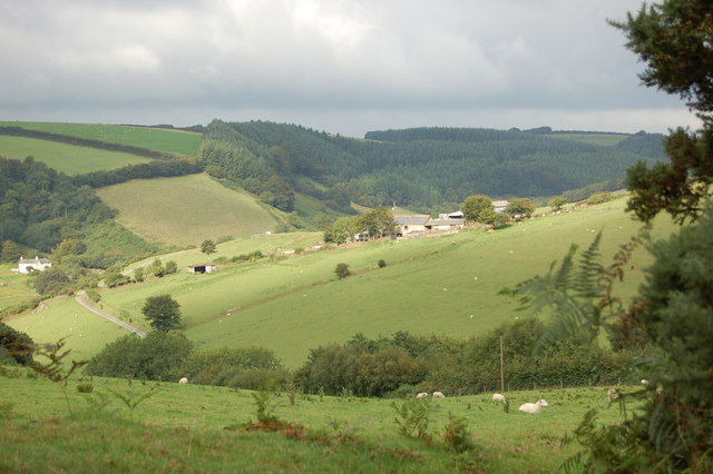
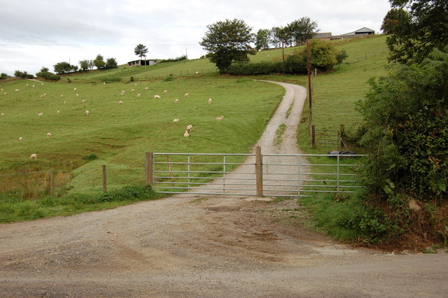
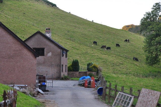
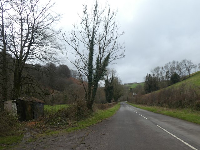
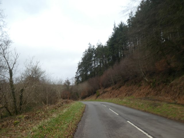
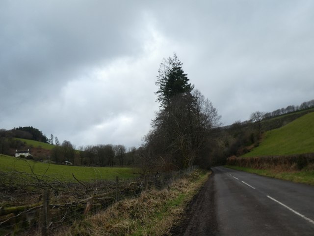
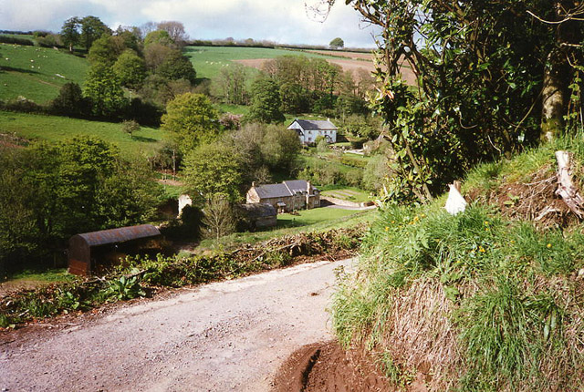
The plantation is characterized by its diverse landscape, which includes rolling hills, open fields, and thick woodlands. It covers a vast area, making it an ideal destination for nature enthusiasts and hikers. The Downs provide breathtaking views of the surrounding countryside, while the Moorland offers a unique habitat for various plant and animal species.
The history of Ison Cleeve Plantation dates back centuries, with evidence of human activity in the area since prehistoric times. It has been a site of agricultural practices, with traces of ancient farming methods still visible today. The plantation also played a crucial role during the industrial revolution, serving as a source of timber for local industries.
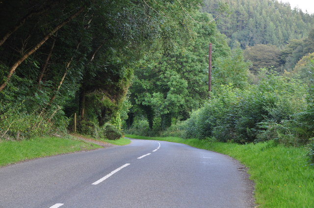
Visitors to Ison Cleeve Plantation can enjoy a range of activities. The plantation boasts numerous walking trails, allowing visitors to explore its diverse ecosystem and enjoy the tranquility of nature. It is also a popular spot for birdwatching, with a wide variety of bird species making their home in the woodland areas.
In conclusion, Ison Cleeve Plantation in Somerset offers a captivating blend of natural beauty and historical significance. Its stunning landscape, rich history, and abundance of wildlife make it a must-visit destination for anyone seeking a peaceful retreat in the heart of nature.
If you have any feedback on the listing, please let us know in the comments section below.
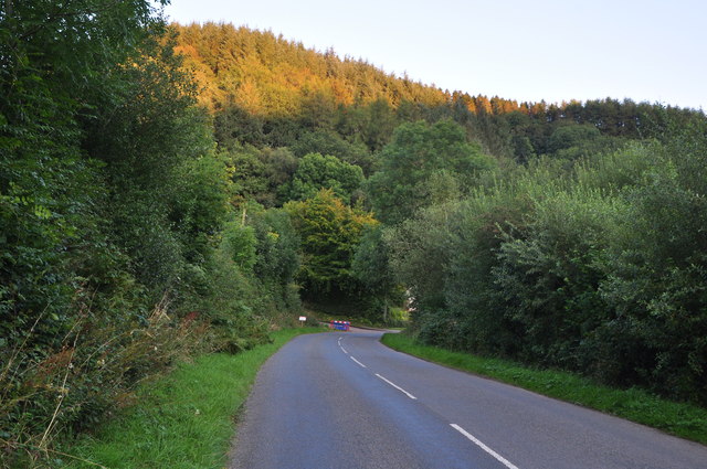
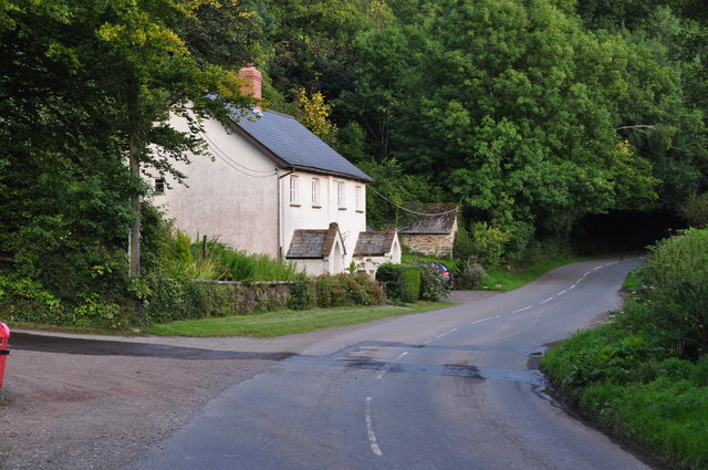
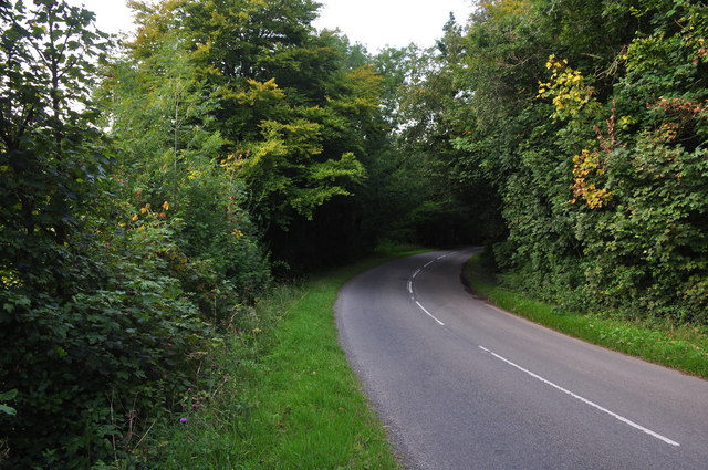
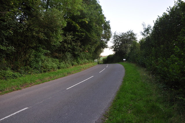
Ison Cleeve Plantation Images
Images are sourced within 2km of 51.120921/-3.5539747 or Grid Reference SS9136. Thanks to Geograph Open Source API. All images are credited.


Ison Cleeve Plantation is located at Grid Ref: SS9136 (Lat: 51.120921, Lng: -3.5539747)
Administrative County: Somerset
District: Somerset West and Taunton
Police Authority: Avon and Somerset
What 3 Words
///amicably.figure.chatters. Near Dulverton, Somerset
Related Wikis

Garratts Wood
Garratts Wood is a woodland in Somerset, England, near the village of Winsford. It covers a total area of 1.11 hectares (2.74 acres). It is owned and managed...

Timberscombe
Timberscombe is a village and civil parish on the River Avill 2.5 miles (4 km) south-west of Dunster, and 5.5 miles (9 km) south of Minehead within the...
Winsford, Somerset
Winsford is a village and civil parish in Somerset, England, located about 5 miles (8 km) north-west of Dulverton. It is within the borders of the Exmoor...

Cutcombe
Cutcombe is a village and civil parish 9 miles (14 km) south of Minehead and north of Dulverton straddling the ridge between Exmoor and the Brendon Hills...
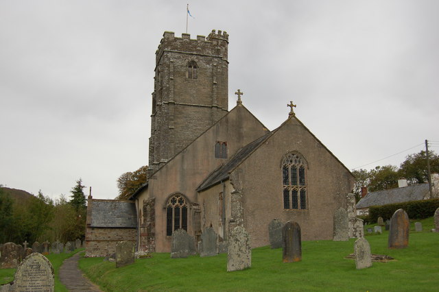
Church of St John, Cutcombe
The Anglican Church of St John in Cutcombe, Somerset, England was built in the 13th and 14th centuries. It is a Grade II* listed building. == History... ==

St Peter's Church, Exton
The Anglican St Peter's Church at Exton within the English county of Somerset has a 13th-century tower and 15th century aisle. It is a Grade II* listed...
Exton, Somerset
Exton is a village and civil parish 5 miles (8 km) north-east of Dulverton and 9 miles (14 km) south-west of Dunster in Somerset, England. It lies on the...

Brendon Hills
The Brendon Hills are a range of hills in west Somerset, England. The hills merge level into the eastern side of Exmoor and are included within the Exmoor...
Have you been to Ison Cleeve Plantation?
Leave your review of Ison Cleeve Plantation below (or comments, questions and feedback).