The Copse
Wood, Forest in Somerset Somerset West and Taunton
England
The Copse
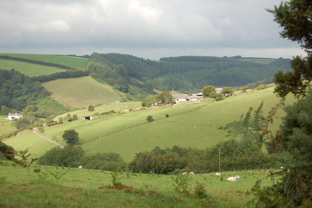
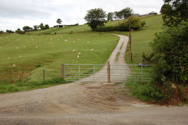
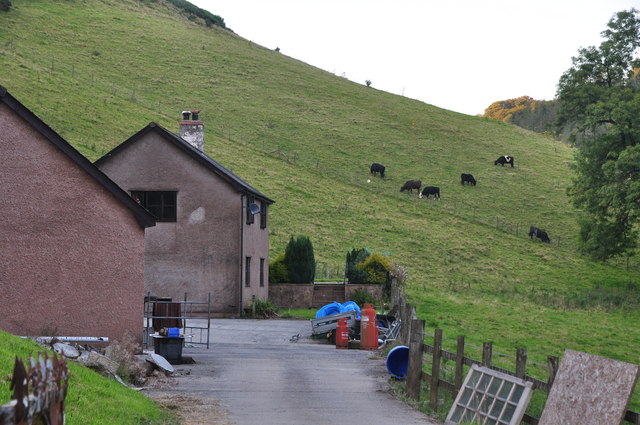
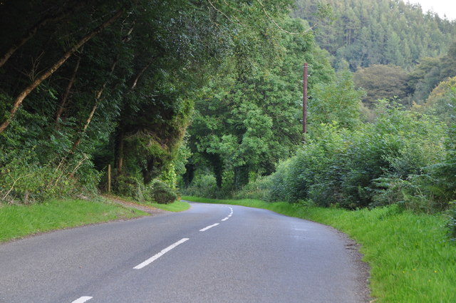
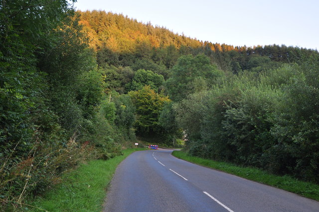
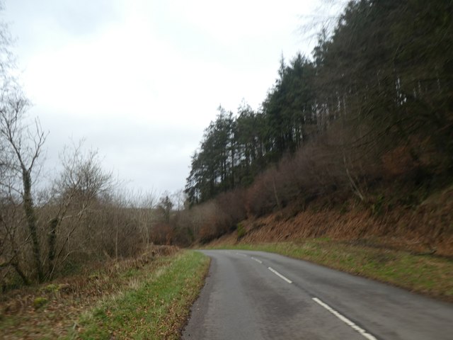
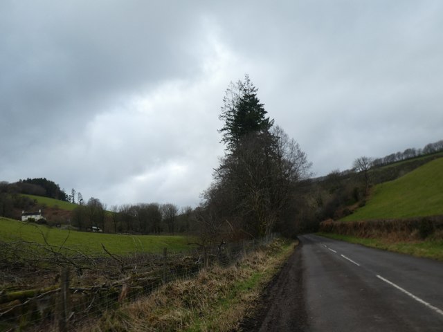
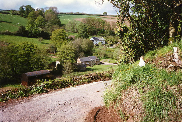
The Copse, Somerset, is a sprawling woodland located in the southwestern region of England. Covering an extensive area of approximately 500 acres, this enchanting forest is nestled amidst the rolling hills and picturesque landscapes that Somerset is renowned for. The Copse is a haven for nature enthusiasts and wanderers seeking tranquility and respite from the bustling city life.
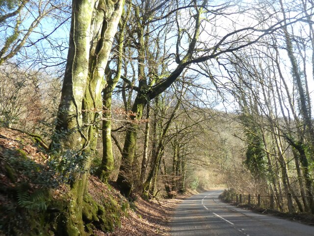
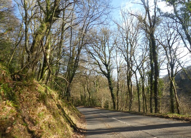
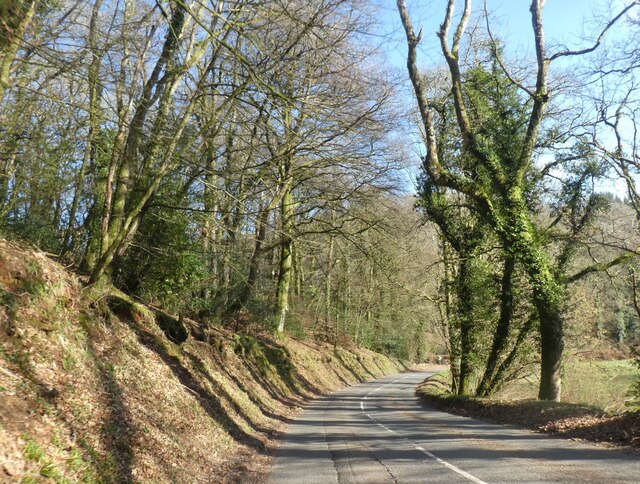
The forest is predominantly made up of native broadleaf trees, such as oak, beech, and ash, creating a lush and diverse ecosystem. These trees provide a dense canopy, casting dappled sunlight on the forest floor below. The undergrowth is a tapestry of wildflowers, ferns, and mosses, adding to the ethereal beauty of the woodland.
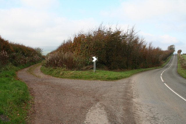
The Copse is crisscrossed by a network of walking trails, allowing visitors to explore its natural wonders at their own pace. These paths wind through the forest, revealing hidden glades, babbling brooks, and small ponds teeming with aquatic life. The forest is also home to a diverse array of wildlife, including deer, foxes, rabbits, and an array of bird species. Birdwatchers will delight in spotting species such as woodpeckers, owls, and various songbirds.
Beyond its natural beauty, The Copse also holds historical significance. It is believed that the forest has been in existence for centuries, providing a source of timber and shelter for generations. Today, it stands as a testament to the importance of preserving and appreciating the natural world.
In conclusion, The Copse in Somerset is a captivating woodland that offers a tranquil retreat for those seeking solace in nature. With its diverse flora and fauna, scenic trails, and a rich history, it is a destination that leaves a lasting impression on all who visit.
If you have any feedback on the listing, please let us know in the comments section below.
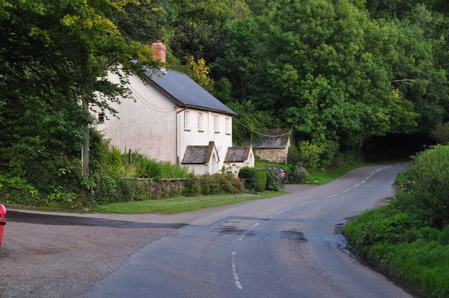
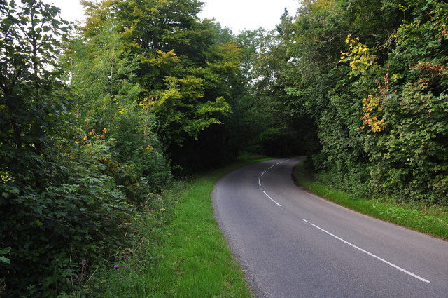
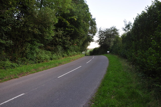
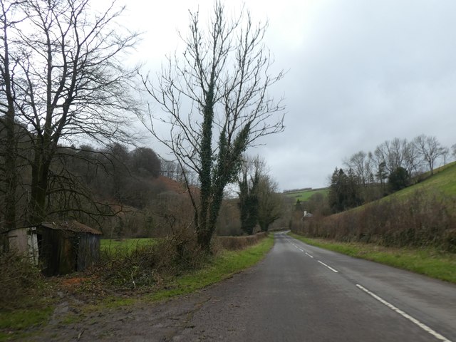
The Copse Images
Images are sourced within 2km of 51.119878/-3.5533253 or Grid Reference SS9136. Thanks to Geograph Open Source API. All images are credited.


The Copse is located at Grid Ref: SS9136 (Lat: 51.119878, Lng: -3.5533253)
Administrative County: Somerset
District: Somerset West and Taunton
Police Authority: Avon and Somerset
What 3 Words
///startles.sleepers.spends. Near Dulverton, Somerset
Related Wikis

Garratts Wood
Garratts Wood is a woodland in Somerset, England, near the village of Winsford. It covers a total area of 1.11 hectares (2.74 acres). It is owned and managed...

Timberscombe
Timberscombe is a village and civil parish on the River Avill 2.5 miles (4 km) south-west of Dunster, and 5.5 miles (9 km) south of Minehead within the...
Winsford, Somerset
Winsford is a village and civil parish in Somerset, England, located about 5 miles (8 km) north-west of Dulverton. It is within the borders of the Exmoor...

Cutcombe
Cutcombe is a village and civil parish 9 miles (14 km) south of Minehead and north of Dulverton straddling the ridge between Exmoor and the Brendon Hills...
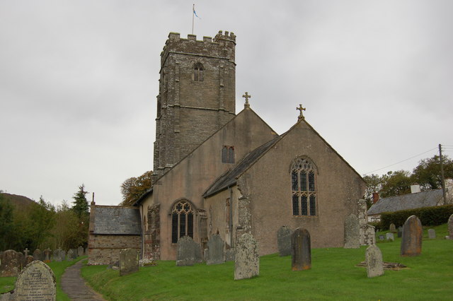
Church of St John, Cutcombe
The Anglican Church of St John in Cutcombe, Somerset, England was built in the 13th and 14th centuries. It is a Grade II* listed building. == History... ==

St Peter's Church, Exton
The Anglican St Peter's Church at Exton within the English county of Somerset has a 13th-century tower and 15th century aisle. It is a Grade II* listed...
Exton, Somerset
Exton is a village and civil parish 5 miles (8 km) north-east of Dulverton and 9 miles (14 km) south-west of Dunster in Somerset, England. It lies on the...

Brendon Hills
The Brendon Hills are a range of hills in west Somerset, England. The hills merge level into the eastern side of Exmoor and are included within the Exmoor...
Have you been to The Copse?
Leave your review of The Copse below (or comments, questions and feedback).