Quarme Wood

Wood, Forest in Somerset Somerset West and Taunton

England

Quarme Wood

A396 north of Quarme Bridge
A396 north of Quarme Bridge Credit: David Smith

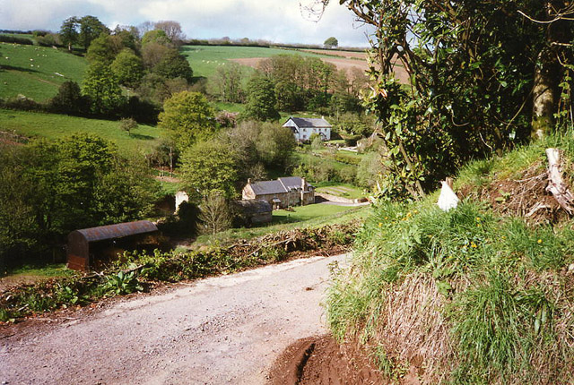
Quarme Wood is a picturesque forest located in Somerset, England. Covering an area of approximately 200 acres, it is known for its diverse range of flora and fauna, making it a popular destination for nature enthusiasts and hikers alike.

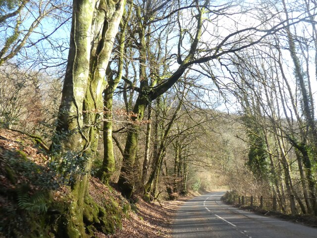
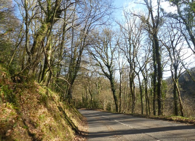
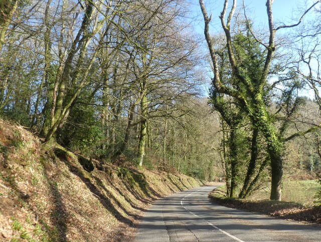
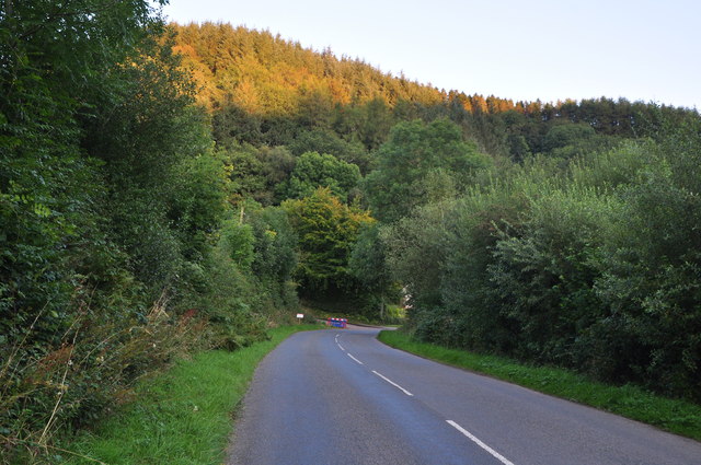
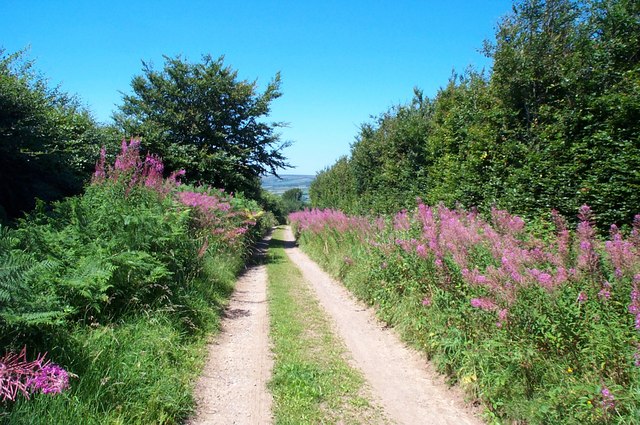
The woodland is predominantly made up of native deciduous trees such as oak, beech, and ash, creating a stunning canopy that provides shade and shelter for a variety of wildlife. Bluebells carpet the forest floor in the spring, creating a breathtaking display of color and fragrance.

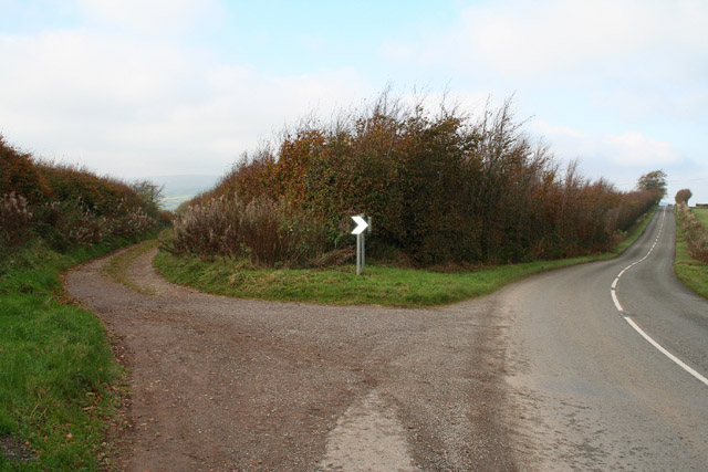
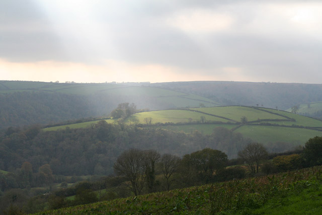
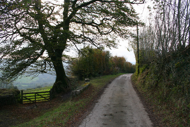
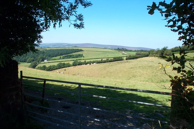
Quarme Wood boasts an extensive network of walking trails, allowing visitors to explore its enchanting beauty at their own pace. The trails wind through the forest, offering glimpses of babbling brooks, tranquil ponds, and stunning viewpoints overlooking the surrounding countryside.

Wildlife thrives in Quarme Wood, with a multitude of species calling it home. Birdwatchers can spot a range of species, including woodpeckers, owls, and various songbirds. If lucky, one may even catch a glimpse of a deer or fox darting through the undergrowth.

The forest is managed by a local conservation trust, ensuring its protection and preservation for future generations. It is a designated Site of Special Scientific Interest (SSSI) due to its importance for biodiversity.

Quarme Wood offers a tranquil escape from the hustle and bustle of everyday life, providing a peaceful haven for visitors to connect with nature. Whether it's a leisurely stroll, a picnic, or wildlife spotting, the forest offers something for everyone to enjoy.

If you have any feedback on the listing, please let us know in the comments section below.
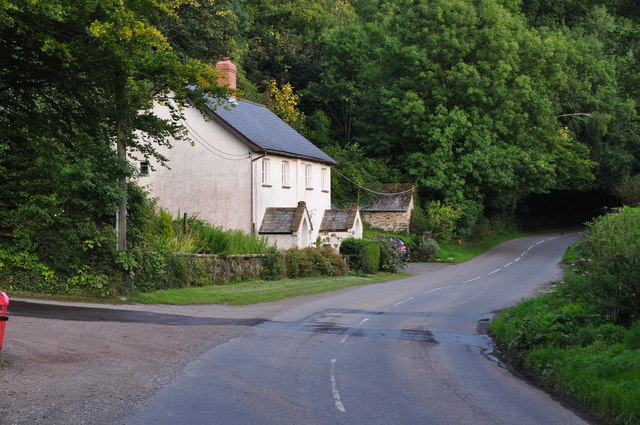
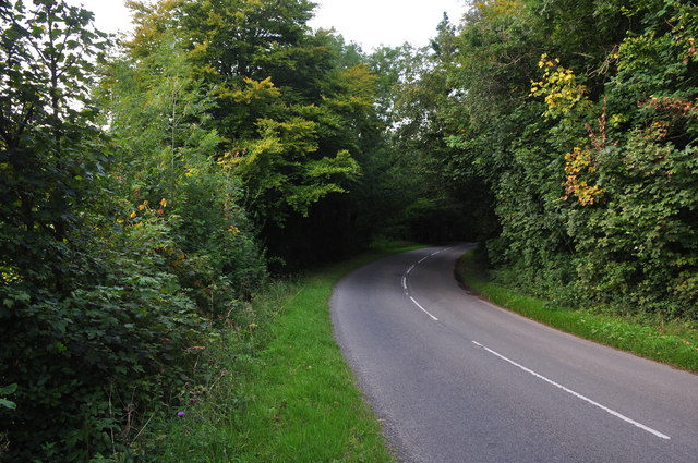
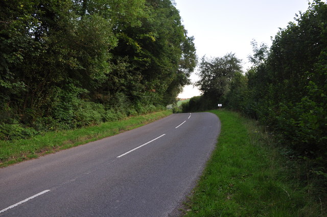
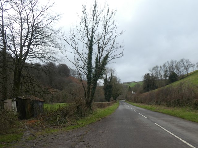
Quarme Wood Images

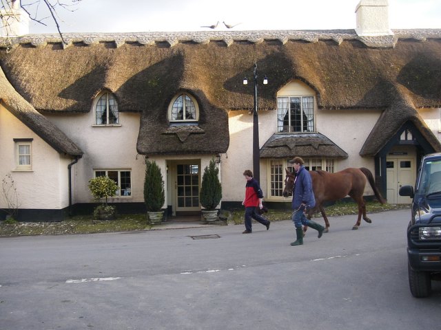
Images are sourced within 2km of 51.114759/-3.5466673 or Grid Reference SS9136. Thanks to Geograph Open Source API. All images are credited.

A396 north of Quarme Bridge
Winter sunlight: A396 in Quarme Wood
How the A396 is cut into the slope of Quarme Wood
Winsford : Ash Lane Ash Lane heads down into Winsford.
Winsford : Ash Lane
Ash Lane heads down into Winsford.
Exton : Howhill Farm Looking into Howhill Farm.
Exton : Howhill Farm
Looking into Howhill Farm.
Exton : Howhill Farm Looking towards Howhill Farm.
Exton : Howhill Farm
Looking towards Howhill Farm.
West Somerset : Exford Road Looking along the road as it heads towards Winsford.
West Somerset : Exford Road
Looking along the road as it heads towards Winsford.
West Somerset : Exford Road Looking along Exford Road as it passes Northern Mill Cottage.
West Somerset : Exford Road
Looking along Exford Road as it passes Northern Mill Cottage.
West Somerset : Exford Road Looking along Exford Road as it heads towards Exford.
West Somerset : Exford Road
Looking along Exford Road as it heads towards Exford.
West Somerset : Exford Road Looking along Exford Road as it heads towards Winsford.
West Somerset : Exford Road
Looking along Exford Road as it heads towards Winsford.
Exford Road north of Winsford The road follows the winding River Exe
Exford Road north of Winsford
The road follows the winding River Exe
Thatched Pub in Winsford The Royal Oak was burnt down in the 90s and has been re-roofed.
Thatched Pub in Winsford
The Royal Oak was burnt down in the 90s and has been re-roofed.
Exton: Lower North Quarme and North Quarme A 12’ diameter waterwheel powered machinery installed in a barn at Lower North Quarme in the 1920s. The decayed wheel was still in situ when this photograph was taken in 1996, although the machinery had been removed. The farm is now a private residence
Exton: Lower North Quarme and North Quarme
A 12’ diameter waterwheel powered machinery installed in a barn at Lower North Quarme in the 1920s. The decayed wheel was still in situ when this photograph was taken in 1996, although the machinery had been removed. The farm is now a private residence
Cutcombe: Summerway Cross On the left is the ‘Hare Path’ or herepath. S H Burton, writing in 1969, saw this as one of the country’s most significant and ancient trackways. He claimed that it once linked Bristol and Gloucester with Barnstaple and Cornwall by way of the Quantocks, Exford and Simonsbath. Apparently the Saxons adopted the old route so that they could control the high ground to which they had driven the Celts, while they themselves occupied the lowland farmsteads. Here the track forms the boundary between Cutcome and Exton parishes. On the right the present-day road runs to Wheddon Cross. See <a href="https://www.geograph.org.uk/gridref/SS7340">SS7340</a> for another view of the track west of Simonsbath
Cutcombe: Summerway Cross
On the left is the ‘Hare Path’ or herepath. S H Burton, writing in 1969, saw this as one of the country’s most significant and ancient trackways. He claimed that it once linked Bristol and Gloucester with Barnstaple and Cornwall by way of the Quantocks, Exford and Simonsbath. Apparently the Saxons adopted the old route so that they could control the high ground to which they had driven the Celts, while they themselves occupied the lowland farmsteads. Here the track forms the boundary between Cutcome and Exton parishes. On the right the present-day road runs to Wheddon Cross. See SS7340 for another view of the track west of Simonsbath
Exton: near Stone Lane Exmoor’s heights in the distance, beyond the Quarme valley; a field of kale in the foreground. Looking south-west
Exton: near Stone Lane
Exmoor’s heights in the distance, beyond the Quarme valley; a field of kale in the foreground. Looking south-west
Exton: Stone Lane Looking west-south-west near Stone Lodge
Exton: Stone Lane
Looking west-south-west near Stone Lodge
Hare Path, a track near Wheddon Cross
Looking west from Quarme Lane In the foreground; Quarme Combe.In the distance; Dunkery Beacon.
Looking west from Quarme Lane
In the foreground; Quarme Combe.In the distance; Dunkery Beacon.
Show me another place!

Quarme Wood is located at Grid Ref: SS9136 (Lat: 51.114759, Lng: -3.5466673)

Administrative County: Somerset

District: Somerset West and Taunton

Police Authority: Avon and Somerset

What 3 Words

///negotiators.carbonate.upwards. Near Dulverton, Somerset

Related Wikis

Garratts Wood

Garratts Wood is a woodland in Somerset, England, near the village of Winsford. It covers a total area of 1.11 hectares (2.74 acres). It is owned and managed...

Winsford, Somerset

Winsford is a village and civil parish in Somerset, England, located about 5 miles (8 km) north-west of Dulverton. It is within the borders of the Exmoor...

St Peter's Church, Exton

The Anglican St Peter's Church at Exton within the English county of Somerset has a 13th-century tower and 15th century aisle. It is a Grade II* listed...

Timberscombe

Timberscombe is a village and civil parish on the River Avill 2.5 miles (4 km) south-west of Dunster, and 5.5 miles (9 km) south of Minehead within the...

Nearby Amenities

Located within 500m of 51.114759,-3.5466673
Historic: milestone
Inscription: 11 Miles to Minehead
Lat/Long: 51.1148084/-3.5480098
The data included in this document is from www.openstreetmap.org. The data is made available under ODbL.

Have you been to Quarme Wood?

Leave your review of Quarme Wood below (or comments, questions and feedback).