Big Wood

Wood, Forest in Devon

England

Big Wood

Sheep, Churston From Bascombe Road, with Churston Court <span class="nowrap"><a title="https://historicengland.org.uk/listing/the-list/list-entry/1208761?section=official-list-entry" rel="nofollow ugc noopener" href="https://historicengland.org.uk/listing/the-list/list-entry/1208761?section=official-list-entry">Link</a><img style="margin-left:2px;" alt="External link" title="External link - shift click to open in new window" src="https://s1.geograph.org.uk/img/external.png" width="10" height="10"/></span> on this side of St Mary's church <span class="nowrap"><a title="https://historicengland.org.uk/listing/the-list/list-entry/1293060?section=official-list-entry" rel="nofollow ugc noopener" href="https://historicengland.org.uk/listing/the-list/list-entry/1293060?section=official-list-entry">Link</a><img style="margin-left:2px;" alt="External link" title="External link - shift click to open in new window" src="https://s1.geograph.org.uk/img/external.png" width="10" height="10"/></span> , both of which are grade II* listed.
Sheep, Churston Credit: Derek Harper

Big Wood is a captivating forest located in the county of Devon, in southwest England. Spanning over a vast area, this woodland is renowned for its natural beauty and diverse flora and fauna. The forest is situated near the village of Wood, which adds to its charm and accessibility.

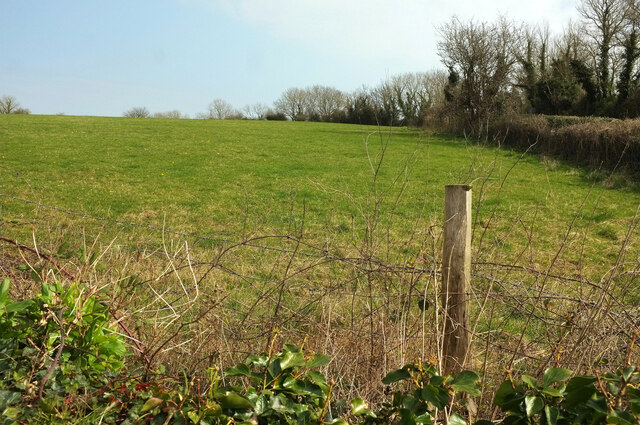
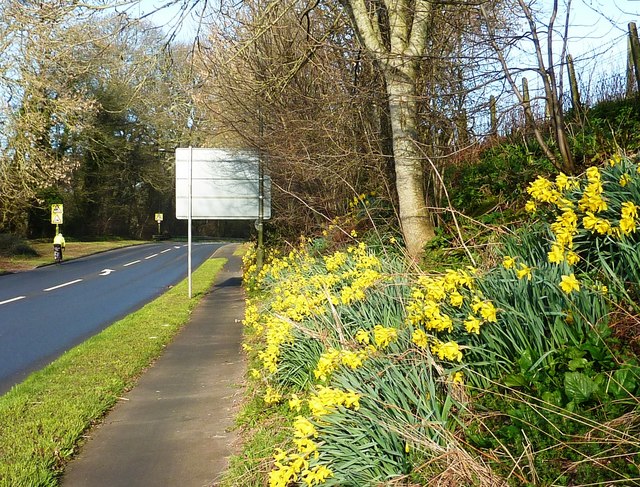
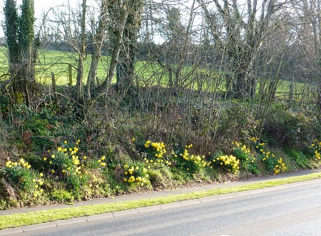
With towering trees and a dense canopy, Big Wood offers a tranquil and serene environment for visitors to immerse themselves in nature. The forest is predominantly composed of deciduous trees, including oak, beech, and birch, which provide a stunning display of colors during the autumn season. The forest floor is adorned with a variety of wildflowers, such as bluebells and primroses, adding a touch of vibrancy to the landscape.

Big Wood is not only a haven for nature enthusiasts but also serves as a habitat for numerous animal species. Visitors may catch glimpses of deer, foxes, badgers, and a wide array of bird species as they explore the forest trails. It is a popular spot for birdwatching, with species such as woodpeckers, owls, and various songbirds frequently spotted in the area.

The forest is equipped with well-maintained trails that cater to hikers and nature lovers of all levels of experience. These trails wind through the woodland, offering breathtaking views and opportunities for wildlife encounters. The peaceful ambiance of Big Wood makes it an ideal destination for those seeking solace in nature or simply wishing to disconnect from the hustle and bustle of everyday life.

Overall, Big Wood in Devon is a treasured natural gem, offering visitors a chance to connect with nature, explore diverse ecosystems, and appreciate the beauty of the English countryside.

If you have any feedback on the listing, please let us know in the comments section below.
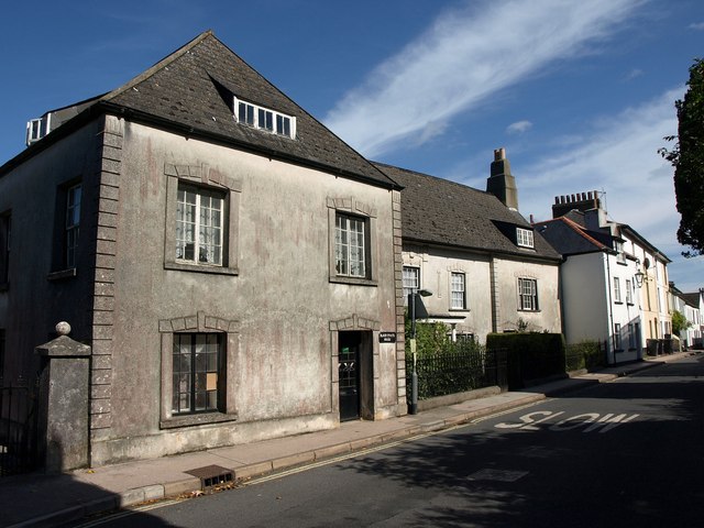
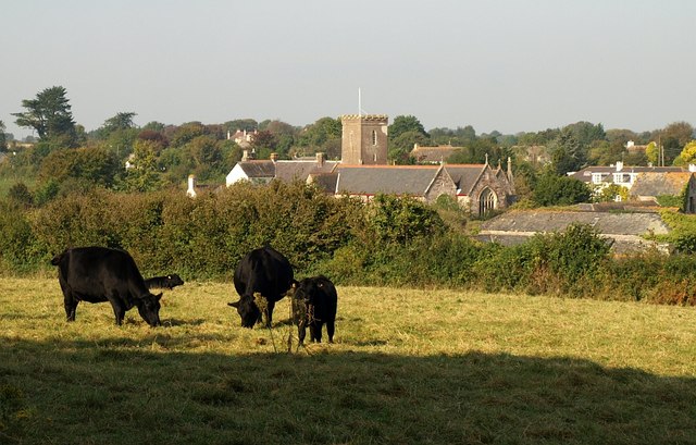
Big Wood Images

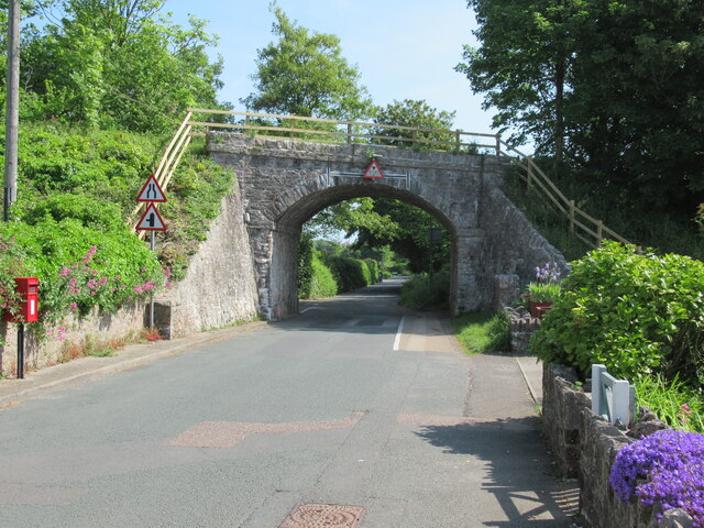
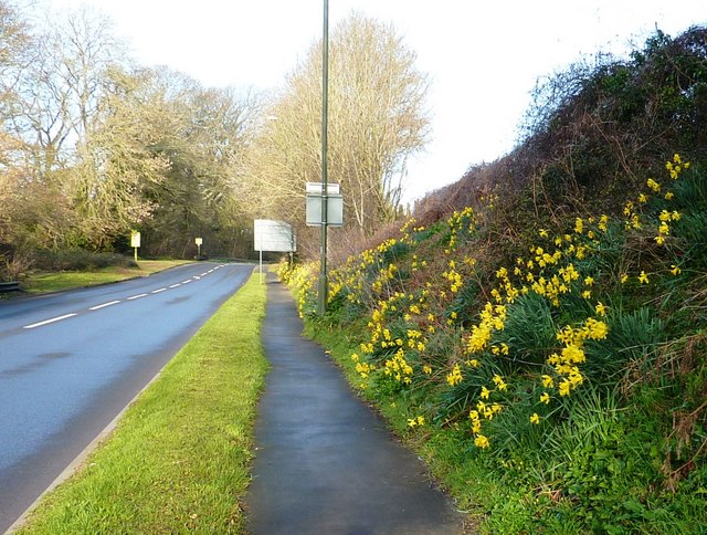
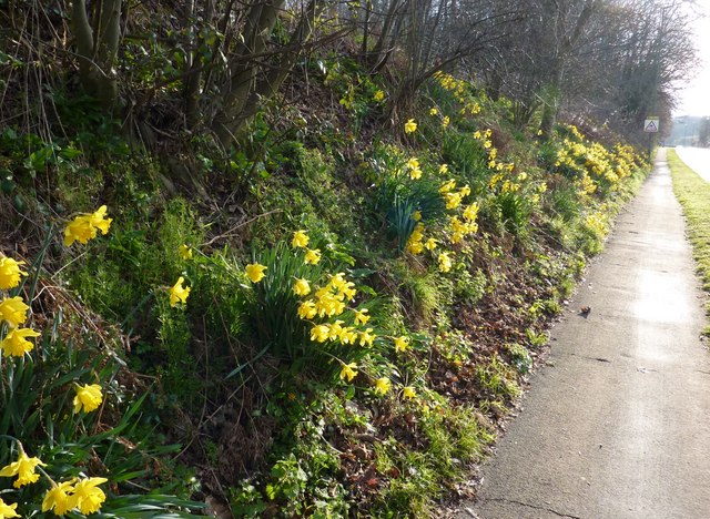
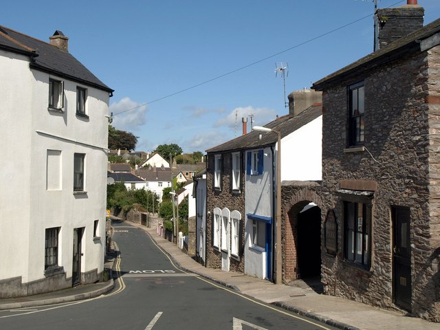
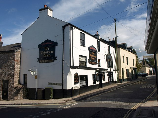
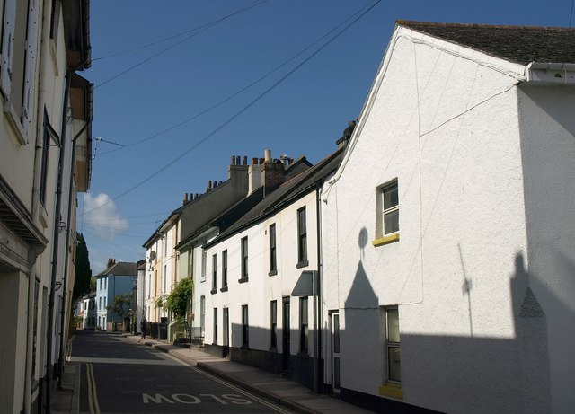
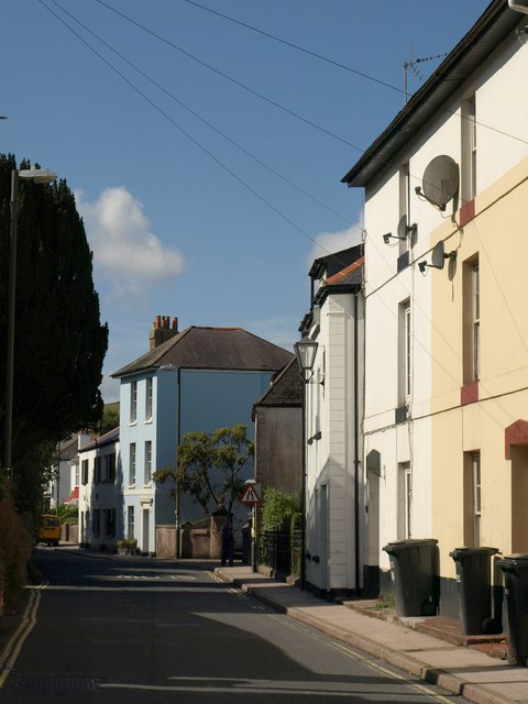
Images are sourced within 2km of 50.379545/-3.5450277 or Grid Reference SX9054. Thanks to Geograph Open Source API. All images are credited.
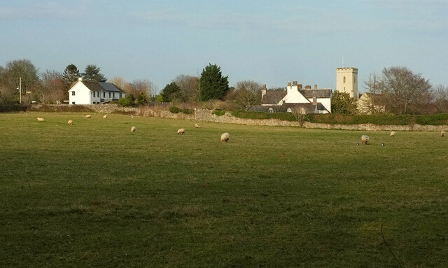
Sheep, Churston From Bascombe Road, with Churston Court <span class="nowrap"><a title="https://historicengland.org.uk/listing/the-list/list-entry/1208761?section=official-list-entry" rel="nofollow ugc noopener" href="https://historicengland.org.uk/listing/the-list/list-entry/1208761?section=official-list-entry">Link</a><img style="margin-left:2px;" alt="External link" title="External link - shift click to open in new window" src="https://s1.geograph.org.uk/img/external.png" width="10" height="10"/></span> on this side of St Mary's church <span class="nowrap"><a title="https://historicengland.org.uk/listing/the-list/list-entry/1293060?section=official-list-entry" rel="nofollow ugc noopener" href="https://historicengland.org.uk/listing/the-list/list-entry/1293060?section=official-list-entry">Link</a><img style="margin-left:2px;" alt="External link" title="External link - shift click to open in new window" src="https://s1.geograph.org.uk/img/external.png" width="10" height="10"/></span> , both of which are grade II* listed.
Sheep, Churston
From Bascombe Road, with Churston Court LinkExternal link on this side of St Mary's church LinkExternal link , both of which are grade II* listed.
Field, Churston From a gateway at the junction of Church Road with Bascombe Road, and on the route of the:John Musgrave Heritage Trail. <a href="https://www.geograph.org.uk/photo/7130354">SX9056 : Field, Churston</a> and <a href="https://www.geograph.org.uk/photo/7130347">SX9056 : Field, Churston</a> look right from here.
Field, Churston
From a gateway at the junction of Church Road with Bascombe Road, and on the route of the:John Musgrave Heritage Trail. SX9056 : Field, Churston and SX9056 : Field, Churston look right from here.
Field, Churston Looking right from <a href="https://www.geograph.org.uk/photo/7130354">SX9056 : Field, Churston</a>. The hedge ahead borders the John Musgrave Heritage Trail as it follows a track to The Grove.
Field, Churston
Looking right from SX9056 : Field, Churston. The hedge ahead borders the John Musgrave Heritage Trail as it follows a track to The Grove.
Junction, Churston The view behind the camera in <a href="https://www.geograph.org.uk/photo/7130354">SX9056 : Field, Churston</a>, [[[7130339]] and <a href="https://www.geograph.org.uk/photo/7130347">SX9056 : Field, Churston</a>. The  John Musgrave Heritage Trail arrives from the left and follows Bascombe Road around the left bend.
Junction, Churston
The view behind the camera in SX9056 : Field, Churston, [[[7130339]] and SX9056 : Field, Churston. The John Musgrave Heritage Trail arrives from the left and follows Bascombe Road around the left bend.
Field, Churston A view on the other side of the junction shown in <a href="https://www.geograph.org.uk/photo/7130476">SX9056 : Junction, Churston</a>. The trees on the far side are along the line of the dismantled Churston to Brixham railway line.
Field, Churston
A view on the other side of the junction shown in SX9056 : Junction, Churston. The trees on the far side are along the line of the dismantled Churston to Brixham railway line.
Field, Churston From the stile shown in <a href="https://www.geograph.org.uk/photo/6702948">SX9056 : Stone stile, Churston</a>. On the right is the hedge bordering Copythorne Road. The trees at the far end of the field are along the line of the dismantled Churston to Brixham railway line.
Field, Churston
From the stile shown in SX9056 : Stone stile, Churston. On the right is the hedge bordering Copythorne Road. The trees at the far end of the field are along the line of the dismantled Churston to Brixham railway line.
Brixham branch line railway bridge, Churston Ferrers
Daffodils near Brixham After a cold winter, the daffodils are bursting into bloom.
Daffodils near Brixham
After a cold winter, the daffodils are bursting into bloom.
Daffodils near Brixham Taken at the roadside on the way into Brixham opposite Lupton House entrance.
Daffodils near Brixham
Taken at the roadside on the way into Brixham opposite Lupton House entrance.
Daffodils near Brixham Daffodils rising up the bank on the way out of Brixham near Strawberry Bends are a cheering sight for the pedestrian or the cyclist on the shared footpath.
Daffodils near Brixham
Daffodils rising up the bank on the way out of Brixham near Strawberry Bends are a cheering sight for the pedestrian or the cyclist on the shared footpath.
Daffodils near Brixham It is encouraging to see this part of a bank on the way into Brixham near Lupton House entrance covered in daffodils as the rest of the year it is just grass and shrubby hedgerow.
Daffodils near Brixham
It is encouraging to see this part of a bank on the way into Brixham near Lupton House entrance covered in daffodils as the rest of the year it is just grass and shrubby hedgerow.
Cowtown, Brixham The last stretch of Drew Street. The telephone box is on the corner of Horsepool Street and is in <a href="https://www.geograph.org.uk/gridref/SX9255">SX9255</a>. Milton Street continues ahead, slightly to the left. The banner advertises "Brixham Hapinin: a big party".
Cowtown, Brixham
The last stretch of Drew Street. The telephone box is on the corner of Horsepool Street and is in SX9255. Milton Street continues ahead, slightly to the left. The banner advertises "Brixham Hapinin: a big party".
St Mary's Square, Brixham The junction visible in <a href="https://www.geograph.org.uk/photo/2591842">SX9255 : Cowtown, Brixham</a> and also shown in <a href="https://www.geograph.org.uk/photo/1754090">SX9155 : St Marys Square, Higher Brixham</a> and the very similar <a href="https://www.geograph.org.uk/photo/366820">SX9155 : Horsepool Street, Higher Brixham</a>; Horsepool Street runs down to the right (see <a href="https://www.geograph.org.uk/photo/2591898">SX9155 : Horsepool Street, Brixham</a>). The pub on the right is the Waterman's Arms. The telephone kiosk is listed  <span class="nowrap"><a title="http://www.britishlistedbuildings.co.uk/en-383722-k6-telephone-kiosk-in-centre-of-square-b" rel="nofollow ugc noopener" href="http://www.britishlistedbuildings.co.uk/en-383722-k6-telephone-kiosk-in-centre-of-square-b">Link</a><img style="margin-left:2px;" alt="External link" title="External link - shift click to open in new window" src="https://s1.geograph.org.uk/img/external.png" width="10" height="10"/></span> , as is the central terrace running away along the side of the square <span class="nowrap"><a title="http://www.britishlistedbuildings.co.uk/en-383721-1-5-brixham" rel="nofollow ugc noopener" href="http://www.britishlistedbuildings.co.uk/en-383721-1-5-brixham">Link</a><img style="margin-left:2px;" alt="External link" title="External link - shift click to open in new window" src="https://s1.geograph.org.uk/img/external.png" width="10" height="10"/></span> . This is at the heart of "Cowtown".
St Mary's Square, Brixham
The junction visible in SX9255 : Cowtown, Brixham and also shown in SX9155 : St Marys Square, Higher Brixham and the very similar SX9155 : Horsepool Street, Higher Brixham; Horsepool Street runs down to the right (see SX9155 : Horsepool Street, Brixham). The pub on the right is the Waterman's Arms. The telephone kiosk is listed LinkExternal link , as is the central terrace running away along the side of the square LinkExternal link . This is at the heart of "Cowtown".
Horsepool Street, Brixham Taken a few yards left of <a href="https://www.geograph.org.uk/photo/2591870">SX9155 : St Mary's Square, Brixham</a>, and looking down the street to the right. On the left is the end terrace of <span class="nowrap"><a title="http://www.britishlistedbuildings.co.uk/en-383721-1-5-brixham" rel="nofollow ugc noopener" href="http://www.britishlistedbuildings.co.uk/en-383721-1-5-brixham">Link</a><img style="margin-left:2px;" alt="External link" title="External link - shift click to open in new window" src="https://s1.geograph.org.uk/img/external.png" width="10" height="10"/></span> .
Horsepool Street, Brixham
Taken a few yards left of SX9155 : St Mary's Square, Brixham, and looking down the street to the right. On the left is the end terrace of LinkExternal link .
Waterman's Arms, Brixham The corner of the pub appears in <a href="https://www.geograph.org.uk/photo/2591870">SX9155 : St Mary's Square, Brixham</a>. The building dates from the C17 <span class="nowrap"><a title="http://www.britishlistedbuildings.co.uk/en-383606-watermans-arms-public-house-105-brixham" rel="nofollow ugc noopener" href="http://www.britishlistedbuildings.co.uk/en-383606-watermans-arms-public-house-105-brixham">Link</a><img style="margin-left:2px;" alt="External link" title="External link - shift click to open in new window" src="https://s1.geograph.org.uk/img/external.png" width="10" height="10"/></span> .
Waterman's Arms, Brixham
The corner of the pub appears in SX9155 : St Mary's Square, Brixham. The building dates from the C17 LinkExternal link .
Milton Street, Brixham From the junction shown in <a href="https://www.geograph.org.uk/photo/2591870">SX9155 : St Mary's Square, Brixham</a>; this is the road to the left, leading towards Kingswear. Several houses here are listed; the lower-roofed houses in the centre, for instance, are "early C19, probably a 
remodelling of a C17 or C18 structure" <span class="nowrap"><a title="http://www.britishlistedbuildings.co.uk/en-383662-1-and-3-brixham" rel="nofollow ugc noopener" href="http://www.britishlistedbuildings.co.uk/en-383662-1-and-3-brixham">Link</a><img style="margin-left:2px;" alt="External link" title="External link - shift click to open in new window" src="https://s1.geograph.org.uk/img/external.png" width="10" height="10"/></span> .
Milton Street, Brixham
From the junction shown in SX9155 : St Mary's Square, Brixham; this is the road to the left, leading towards Kingswear. Several houses here are listed; the lower-roofed houses in the centre, for instance, are "early C19, probably a remodelling of a C17 or C18 structure" LinkExternal link .
Milton Street, Brixham These buildings can be made out on the left of <a href="https://www.geograph.org.uk/photo/2591945">SX9155 : Milton Street, Brixham</a>. The three-storey blue house is described at <span class="nowrap"><a title="http://www.britishlistedbuildings.co.uk/en-383669-21-brixham" rel="nofollow ugc noopener" href="http://www.britishlistedbuildings.co.uk/en-383669-21-brixham">Link</a><img style="margin-left:2px;" alt="External link" title="External link - shift click to open in new window" src="https://s1.geograph.org.uk/img/external.png" width="10" height="10"/></span> ; for the terrace on the immediate right, see <span class="nowrap"><a title="http://www.britishlistedbuildings.co.uk/en-383664-9-15-brixham" rel="nofollow ugc noopener" href="http://www.britishlistedbuildings.co.uk/en-383664-9-15-brixham">Link</a><img style="margin-left:2px;" alt="External link" title="External link - shift click to open in new window" src="https://s1.geograph.org.uk/img/external.png" width="10" height="10"/></span> .
Milton Street, Brixham
These buildings can be made out on the left of SX9155 : Milton Street, Brixham. The three-storey blue house is described at LinkExternal link ; for the terrace on the immediate right, see LinkExternal link .
Former manor house, Brixham The former town manor house of the Gillards, dating from the C16, now divided into three dwellings <span class="nowrap"><a title="http://www.britishlistedbuildings.co.uk/en-383667-friars-pardon-black-house-black-friars-h" rel="nofollow ugc noopener" href="http://www.britishlistedbuildings.co.uk/en-383667-friars-pardon-black-house-black-friars-h">Link</a><img style="margin-left:2px;" alt="External link" title="External link - shift click to open in new window" src="https://s1.geograph.org.uk/img/external.png" width="10" height="10"/></span> .
Former manor house, Brixham
The former town manor house of the Gillards, dating from the C16, now divided into three dwellings LinkExternal link .
Show me another place!

Big Wood is located at Grid Ref: SX9054 (Lat: 50.379545, Lng: -3.5450277)

Unitary Authority: Torbay

Police Authority: Devon and Cornwall

What 3 Words

///unfocused.boats.guises. Near Brixham, Devon

Related Wikis

Lupton, Brixham

Lupton is an historic manor in the parish of Brixham, Devon. The surviving manor house known as Lupton House, is a Palladian Country house built by Charles...

Greenway Camp

Greenway Camp (also called Noss) is an Iron Age hill fort in the parish of Kingswear close to Dartmouth in Devon, England. The fort is situated on the...

Churston Court

Churston Court is the manor house of the former manor of Churston Ferrers (anciently Cercetone (Domesday Book, 1086), Churecheton (Book of Fees, 13th c...

Churston railway station

Churston railway station is on the Dartmouth Steam Railway, a heritage railway in Torbay, Devon, England. It is situated beside the main road to Brixham...

Churston Ferrers Grammar School

Churston Ferrers Grammar School (also known as CFGS) is a selective coeducational Grammar School with Academy status, situated in the village of Galmpton...

Greenway Halt railway station (Devon)

Greenway Halt railway station is a small railway station on the Dartmouth Steam Railway, a heritage railway in Devon, England. It is situated near the...

Galmpton, Torbay

Galmpton is a semi-rural village in Torbay, in the ceremonial county of Devon, England. It is located in the ward of Churston-with-Galmpton and the historic...

Churston Ferrers

Churston Ferrers is an area and former civil parish, in the borough of Torbay, Devon, England, situated between the south coast towns of Paignton and Brixham...

Nearby Amenities

Located within 500m of 50.379545,-3.5450277
Barrier: stile
Lat/Long: 50.3833423/-3.5417366
Barrier: stile
Lat/Long: 50.3830006/-3.5421346
Guzzle Down
Ele: 160
Natural: peak
Source: OS 1:25k
Lat/Long: 50.3772505/-3.5423267
Barrier: stile
Lat/Long: 50.3837348/-3.546761
Vodafone
Communication Mobile Phone: yes
Man Made: tower
Operator: Vodafone
Operator Wikidata: Q122141
Ref: 33122
Tower Type: communication
Lat/Long: 50.3776864/-3.5452822
Barrier: stile
Lat/Long: 50.3802481/-3.5408515
Barrier: stile
Lat/Long: 50.3832527/-3.5418233
Generator Method: photovoltaic
Generator Output Electricity: yes
Generator Source: solar
Generator Type: solar_photovoltaic_panel
Location: roof
Power: generator
Lat/Long: 50.3815713/-3.5394343
Power: pole
Lat/Long: 50.3799396/-3.5385941
Power: pole
Lat/Long: 50.3798513/-3.5385707
Power: pole
Lat/Long: 50.3796712/-3.539384
Power: pole
Lat/Long: 50.3794694/-3.5402155
Power: pole
Lat/Long: 50.3791016/-3.5416612
Power: pole
Lat/Long: 50.3786877/-3.5433564
Power: pole
Lat/Long: 50.3778205/-3.5445204
Power: pole
Lat/Long: 50.3769327/-3.5456657
Power: pole
Lat/Long: 50.3765906/-3.5471571
Power: pole
Lat/Long: 50.3762537/-3.5485652
The data included in this document is from www.openstreetmap.org. The data is made available under ODbL.

Have you been to Big Wood?

Leave your review of Big Wood below (or comments, questions and feedback).