Allercombe Wood

Wood, Forest in Somerset Somerset West and Taunton

England

Allercombe Wood

Dunkery Beacon Dunkery Beacon on Exmoor, with the view of the Brendon Hills and more distant Quantock Hills behind.
Dunkery Beacon Credit: Marika Reinholds

Allercombe Wood is a beautiful woodland located in the county of Somerset, England. Covering an area of approximately 100 acres, it is situated near the village of Allercombe. The wood is part of a larger forested area known as the Blackdown Hills, which is a designated Area of Outstanding Natural Beauty.

The woodland consists of a diverse range of tree species, including oak, beech, ash, and birch. The dense canopy created by these trees provides a haven for a rich variety of wildlife. Visitors to Allercombe Wood can expect to see an array of bird species, such as woodpeckers, owls, and various songbirds. The forest floor is also teeming with life, with small mammals like squirrels and rabbits often seen scurrying about.

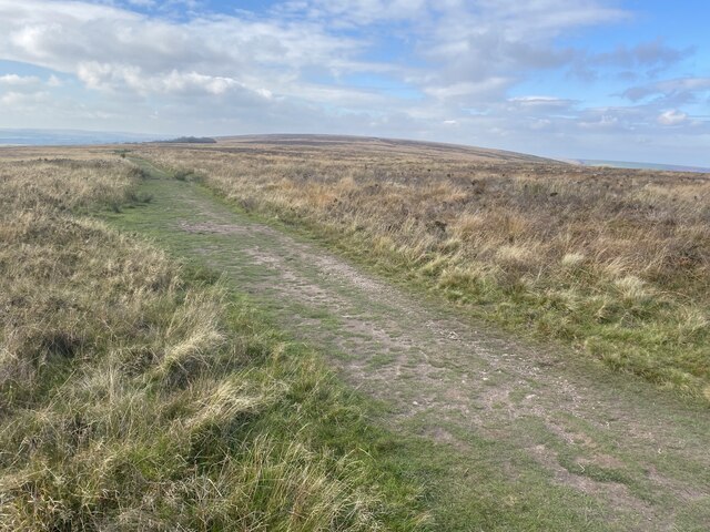
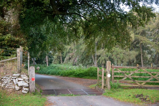
For nature enthusiasts, Allercombe Wood offers a tranquil escape from the hustle and bustle of everyday life. There are several walking trails that wind through the woodland, allowing visitors to explore its natural beauty at their own pace. Along the way, they may come across picturesque streams, wildflowers, and even the occasional deer grazing in the distance.

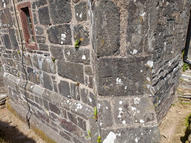
The wood is also valued for its historical significance. It is believed to have been part of the ancient Selwood Forest, which played a crucial role in English history as a hunting ground for Saxon kings. Today, remnants of this history can still be found in the form of old boundary banks and ditches.

Allercombe Wood is a cherished local gem, attracting nature lovers, hikers, and those seeking a peaceful retreat. With its diverse ecosystem and rich history, it is a must-visit destination for anyone exploring the natural wonders of Somerset.

If you have any feedback on the listing, please let us know in the comments section below.

Allercombe Wood Images

Images are sourced within 2km of 51.17318/-3.5880039 or Grid Reference SS8942. Thanks to Geograph Open Source API. All images are credited.

Dunkery Beacon Dunkery Beacon on Exmoor, with the view of the Brendon Hills and more distant Quantock Hills behind.
Dunkery Beacon
Dunkery Beacon on Exmoor, with the view of the Brendon Hills and more distant Quantock Hills behind.
Moorland track, west of Dunkery Beacon
Dunkery Beacon At 519m the highest point on Exmoor.
Dunkery Beacon
At 519m the highest point on Exmoor.
Stream in November An upland stream which might be a raging torrent after heavy rainfall but on a fine sunny day it was just beautiful.
Stream in November
An upland stream which might be a raging torrent after heavy rainfall but on a fine sunny day it was just beautiful.
Ordnance Survey Cut Mark This OS cut mark can be found on the south angle of Stoke Pero Church. It marks a point 305.760m above mean sea level.
Ordnance Survey Cut Mark
This OS cut mark can be found on the south angle of Stoke Pero Church. It marks a point 305.760m above mean sea level.
Cutcombe : Exmoor - Dunkery Beacon I headed up to Dunkery Beacon on a clear September evening to see if I could see the stars and the Milky Way, after all, they do say this is a good spot for it. Got to the top, and soon after two other chaps were doing the same thing. One of them had a red light on his hat, it illuminated the beacon. He (Farmer Torque), wanted to get a nice shot of him looking at the stars.
Cutcombe : Exmoor - Dunkery Beacon
I headed up to Dunkery Beacon on a clear September evening to see if I could see the stars and the Milky Way, after all, they do say this is a good spot for it. Got to the top, and soon after two other chaps were doing the same thing. One of them had a red light on his hat, it illuminated the beacon. He (Farmer Torque), wanted to get a nice shot of him looking at the stars.
Cutcombe : Exmoor - Dunkery Beacon A man is taking photographs of the night sky.
Cutcombe : Exmoor - Dunkery Beacon
A man is taking photographs of the night sky.
Cutcombe : Exmoor - Moorland Scenery The Moon has come into view over the Bristol Channel.
Cutcombe : Exmoor - Moorland Scenery
The Moon has come into view over the Bristol Channel.
Cutcombe : Exmoor - Moorland Scenery Looking down the moorland from Dunkery Beacon and across the Bristol Channel where the lights of South Wales glow.
Cutcombe : Exmoor - Moorland Scenery
Looking down the moorland from Dunkery Beacon and across the Bristol Channel where the lights of South Wales glow.
Cutcombe : Exmoor - Dunkery Beacon Looking towards Dunkery Beacon with the many stars seen in the sky, including the white glow of the Milky Way.
Cutcombe : Exmoor - Dunkery Beacon
Looking towards Dunkery Beacon with the many stars seen in the sky, including the white glow of the Milky Way.
Cutcombe : Exmoor - Moorland Scenery From the top of Dunkery Beacon, looking into the night sky with the Milky Way in view.
Cutcombe : Exmoor - Moorland Scenery
From the top of Dunkery Beacon, looking into the night sky with the Milky Way in view.
Luccombe : Exmoor Scenery From the road looking towards some trees.
Luccombe : Exmoor Scenery
From the road looking towards some trees.
Cutcombe : Exmoor - Dunkery Beacon Looking across Exmoor from the top of Dunkery Beacon, with the Milky Way in view.
Cutcombe : Exmoor - Dunkery Beacon
Looking across Exmoor from the top of Dunkery Beacon, with the Milky Way in view.
Luccombe : Exmoor Ponies Exmoor ponies seen on the moors.
Luccombe : Exmoor Ponies
Exmoor ponies seen on the moors.
Luccombe : Stoke Pero Church Grounds In the churchgrounds of Stoke Pero Church is Dolly the sheep acting as a lawnmower among the headstones.
Luccombe : Stoke Pero Church Grounds
In the churchgrounds of Stoke Pero Church is Dolly the sheep acting as a lawnmower among the headstones.
Luccombe : Exmoor Ponies Exmoor ponies on the moors.
Luccombe : Exmoor Ponies
Exmoor ponies on the moors.
Luccombe : Exmoor Scenery Looking across to some sheep on Exmoor.
Luccombe : Exmoor Scenery
Looking across to some sheep on Exmoor.
Luccombe : Road A road heading across Exmoor.
Luccombe : Road
A road heading across Exmoor.
Show me another place!

Allercombe Wood is located at Grid Ref: SS8942 (Lat: 51.17318, Lng: -3.5880039)

Administrative County: Somerset

District: Somerset West and Taunton

Police Authority: Avon and Somerset

What 3 Words

///unfilled.bashed.shin. Near Porlock, Somerset

Related Wikis

Nearby Amenities

Located within 500m of 51.17318,-3.5880039
Cloutsham
Place: isolated_dwelling
Lat/Long: 51.1765196/-3.5853933
Ford: yes
Lat/Long: 51.1753513/-3.5853662
Aller Combe
Place: locality
Lat/Long: 51.1707279/-3.5846761
Allercombe Wood
Place: locality
Lat/Long: 51.1733443/-3.5883602
Cloutsham Cleeve
Place: locality
Lat/Long: 51.1746908/-3.5884475
Ford: yes
Lat/Long: 51.1756637/-3.5845042
The data included in this document is from www.openstreetmap.org. The data is made available under ODbL.

Have you been to Allercombe Wood?

Leave your review of Allercombe Wood below (or comments, questions and feedback).