Waterhead Brake
Wood, Forest in Devon South Hams
England
Waterhead Brake

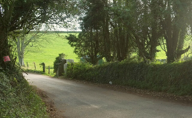
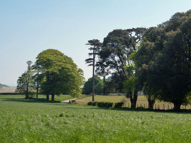
Waterhead Brake is a picturesque woodland area located in Devon, England. Situated near the village of Wood, the forest is known for its abundant natural beauty and tranquil atmosphere. The site covers a vast area of approximately 100 acres, making it an ideal destination for nature lovers and outdoor enthusiasts.
Waterhead Brake is characterized by its dense, diverse vegetation, consisting of a mixture of broadleaf trees, such as oak, beech, and birch. The forest floor is covered in a thick carpet of ferns, mosses, and wildflowers, adding to its enchanting appeal. The presence of these flora species also creates a thriving habitat for various wildlife, including squirrels, deer, and a wide variety of bird species.
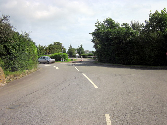
The forest offers a network of well-maintained footpaths and trails, allowing visitors to explore the area at their own pace. These trails lead to scenic spots, such as hidden streams, small waterfalls, and breathtaking viewpoints, providing ample opportunities for photographers and nature enthusiasts to capture the beauty of the surroundings.
Waterhead Brake is not only a natural haven but also a place of historical significance. The forest is home to several ancient ruins and archaeological sites, including remnants of old settlements and burial mounds, offering visitors a glimpse into the area's rich past.
Overall, Waterhead Brake in Devon is a stunning woodland retreat that offers a combination of natural beauty, biodiversity, and historical interest. Whether one seeks solitude, wildlife encounters, or simply a peaceful stroll in nature, this forest provides a perfect escape from the hustle and bustle of everyday life.
If you have any feedback on the listing, please let us know in the comments section below.
Waterhead Brake Images
Images are sourced within 2km of 50.356977/-3.5606587 or Grid Reference SX8951. Thanks to Geograph Open Source API. All images are credited.


Waterhead Brake is located at Grid Ref: SX8951 (Lat: 50.356977, Lng: -3.5606587)
Administrative County: Devon
District: South Hams
Police Authority: Devon and Cornwall
What 3 Words
///uttering.nozzles.scorpions. Near Dartmouth, Devon
Nearby Locations
Related Wikis
Kingswear Regatta
The Kingswear Regatta was held in August 2006 in Kingswear, Devon, England, for the first time in 100 years, and has been celebrated each year since apart...
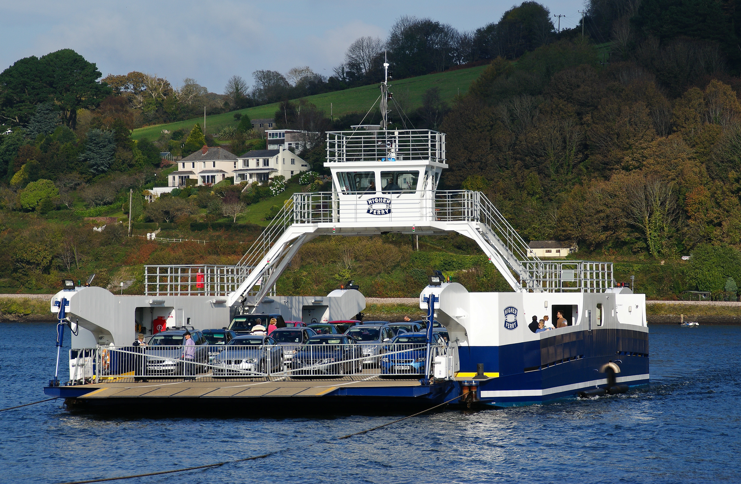
Dartmouth Higher Ferry
The Dartmouth Higher Ferry, also known as the Dartmouth–Kingswear Floating Bridge, is a vehicular and passenger cable ferry, which crosses the River Dart...

Kingswear railway station
Kingswear railway station is the terminus of the Dartmouth Steam Railway, a heritage railway in Devon, England. It is situated in the centre of Kingswear...
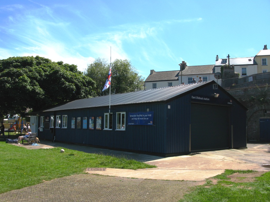
Dart Lifeboat Station
Dart Lifeboat Station is the base for Royal National Lifeboat Institution (RNLI) search and rescue operations at Dartmouth, Devon in England. The present...

Church of St Thomas of Canterbury, Kingswear
The Church of St Thomas of Canterbury is situated in the village of Kingswear in the English county of Devon, it stands in a slightly elevated position...

Dartmouth Passenger Ferry
The Dartmouth Passenger Ferry, also known as the Dartmouth Steam Railway and Riverboat company, is a passenger ferry that crosses the River Dart in the...

Kingswear
Kingswear is a village and civil parish in the South Hams area of the English county of Devon. The village is located on the east bank of the tidal River...
Dartmouth railway station
Dartmouth railway station was a booking office for train tickets located on the quayside of Dartmouth in the English county of Devon. While there has never...
Nearby Amenities
Located within 500m of 50.356977,-3.5606587Have you been to Waterhead Brake?
Leave your review of Waterhead Brake below (or comments, questions and feedback).