Connybear Brake

Wood, Forest in Devon Teignbridge

England

Connybear Brake

Field Barns Field barns near Lower Rocombe.
Field Barns Credit: Wayland Smith

Connybear Brake is a picturesque woodland area situated in Devon, England. Located within the wider Devonshire woodlands, Connybear Brake is known for its dense forest cover and captivating natural beauty. The area is characterized by its enchanting mix of towering trees, vibrant foliage, and diverse wildlife.

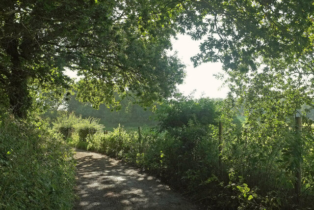
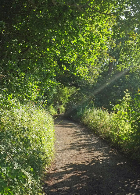
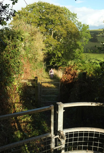
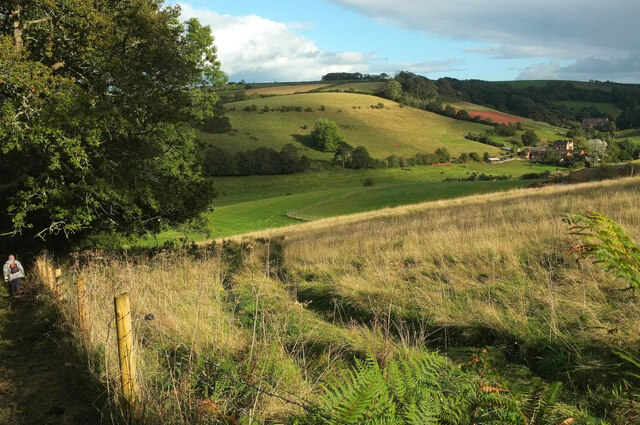
Covering an area of approximately X square miles, Connybear Brake offers a tranquil and serene atmosphere, making it a popular destination for nature enthusiasts and hikers. The forest is crisscrossed by a network of well-maintained trails, allowing visitors to explore its depths and discover its hidden treasures.

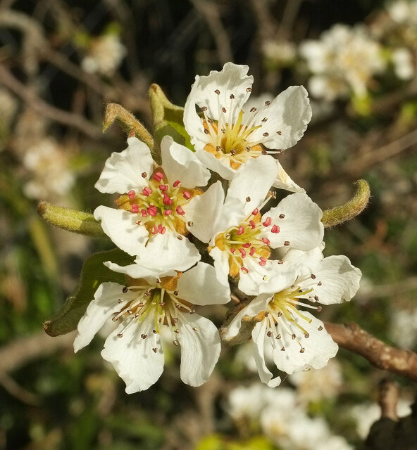
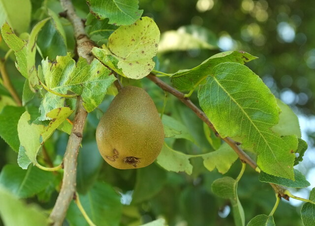
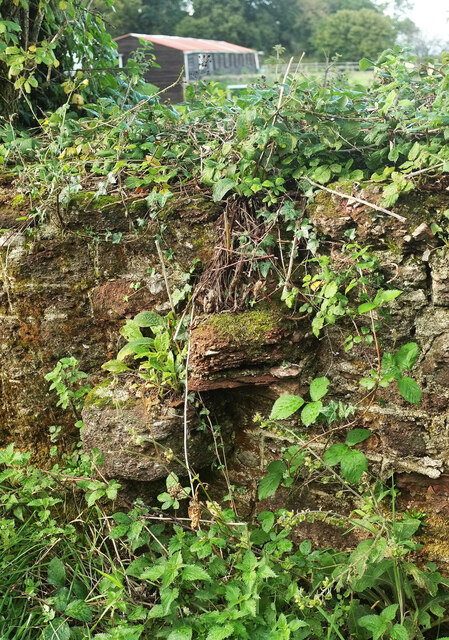
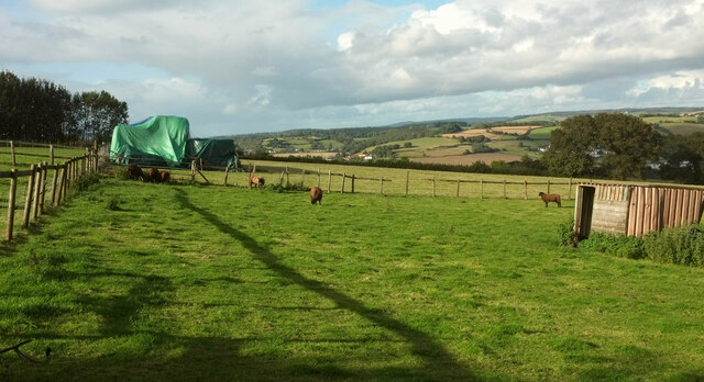
The woodland is home to a wide variety of flora and fauna, including ancient oak trees, birch, beech, and hazel trees. Wildflowers such as bluebells and primroses add bursts of color to the forest floor during the spring months. Wildlife sightings are also common, with species like deer, squirrels, foxes, and a rich variety of bird species calling Connybear Brake their home.

Visitors to Connybear Brake can enjoy a range of activities, including walking, jogging, birdwatching, and photography. The peaceful setting of the woodland provides an ideal opportunity for relaxation and escape from the hustle and bustle of everyday life.

Connybear Brake is easily accessible, with a well-connected road network leading to the area. It is also conveniently located near other popular tourist destinations in Devon, making it a perfect stopover for those exploring the region. Whether you are seeking solitude in nature or an adventure in the great outdoors, Connybear Brake offers a memorable experience for all who venture into its enchanting embrace.

If you have any feedback on the listing, please let us know in the comments section below.

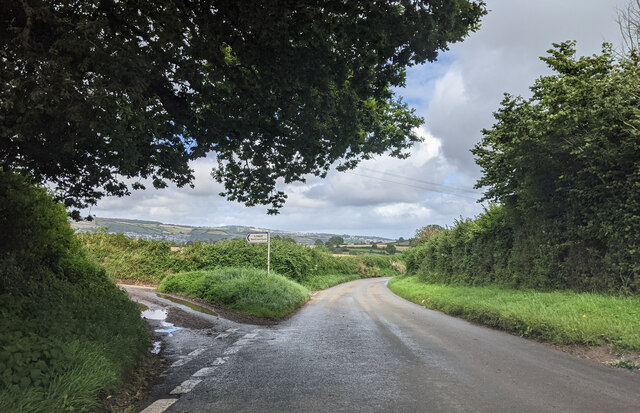
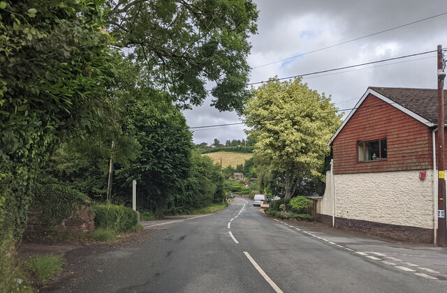
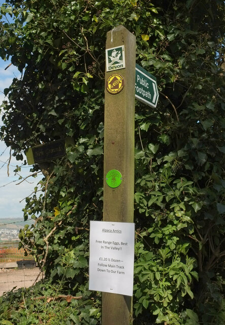
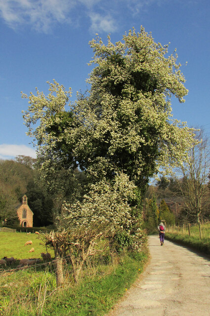
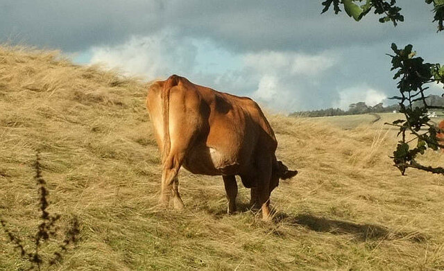
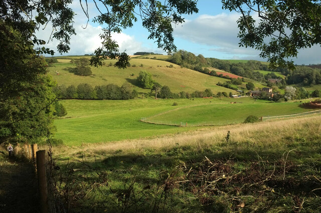
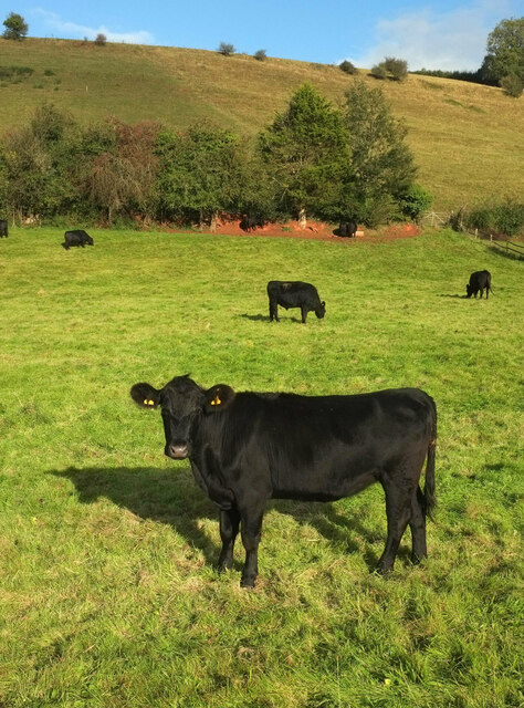
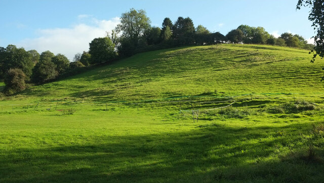
Connybear Brake Images

Images are sourced within 2km of 50.513697/-3.5657513 or Grid Reference SX8969. Thanks to Geograph Open Source API. All images are credited.

Field Barns Field barns near Lower Rocombe.
Field Barns
Field barns near Lower Rocombe.
Above Lower Rocombe Fields above Lower Rocombe.
Above Lower Rocombe
Fields above Lower Rocombe.
Junction for the lane to Lower Netherton
Netherton, heading east
Alpaca eggs? The sign on the waymark post reads:
"Alpaca Antics: Free Range Eggs, Best In The Valley!! £1.20 ½ dozen - Follow Main Track Down To Our Farm". You can see some of the alpacas in <a href="https://www.geograph.org.uk/photo/6812855">SX8970 : Alpacas, Haccombe</a>.
Alpaca eggs?
The sign on the waymark post reads: "Alpaca Antics: Free Range Eggs, Best In The Valley!! £1.20 ½ dozen - Follow Main Track Down To Our Farm". You can see some of the alpacas in SX8970 : Alpacas, Haccombe.
Pear tree, Haccombe I think this is a pear tree (close-up at <a href="https://www.geograph.org.uk/photo/6929503">SX8970 : Pear blossom, Haccombe</a>), but really ought to nip back there to check now that the fruit will be on the way. 
Update: I did, the day after submitting this, and <a href="https://www.geograph.org.uk/photo/6933814">SX8970 : Pear, Haccombe</a> was the result.
On the left is the church of St Blaise <a title="https://www.geograph.org.uk/search.php?i=138270140" href="https://www.geograph.org.uk/search.php?i=138270140">Link</a> .
Pear tree, Haccombe
I think this is a pear tree (close-up at SX8970 : Pear blossom, Haccombe), but really ought to nip back there to check now that the fruit will be on the way. Update: I did, the day after submitting this, and SX8970 : Pear, Haccombe was the result. On the left is the church of St Blaise Link .
Pear blossom, Haccombe On the tree shown in <a href="https://www.geograph.org.uk/photo/6929501">SX8970 : Pear tree, Haccombe</a>.
Pear blossom, Haccombe
On the tree shown in SX8970 : Pear tree, Haccombe.
Pear, Haccombe Proof that <a href="https://www.geograph.org.uk/photo/6929501">SX8970 : Pear tree, Haccombe</a> / <a href="https://www.geograph.org.uk/photo/6929503">SX8970 : Pear blossom, Haccombe</a> IS a pear tree! But look at all that blossom; this was the only fruit I could see.
Pear, Haccombe
Proof that SX8970 : Pear tree, Haccombe / SX8970 : Pear blossom, Haccombe IS a pear tree! But look at all that blossom; this was the only fruit I could see.
Carriage drive, Haccombe Heading sunwards as it follows the curves of the valley side.
Carriage drive, Haccombe
Heading sunwards as it follows the curves of the valley side.
Carriage drive near Haccombe Chase A little further up <a href="https://www.geograph.org.uk/photo/6933878">SX8970 : Carriage drive, Haccombe</a>.
Carriage drive near Haccombe Chase
A little further up SX8970 : Carriage drive, Haccombe.
Old stone stile near The Round House The weathered steps of a wall stile beside the John Musgrave Heritage Trail.
Old stone stile near The Round House
The weathered steps of a wall stile beside the John Musgrave Heritage Trail.
Fields near The Round House Sheep and protected stuff seen from the John Musgrave Heritage Trail. The former mobile home seen in <a href="https://www.geograph.org.uk/photo/1300118">SX8870 : Former mobile home near The Round House</a> has probably long since gone.
Fields near The Round House
Sheep and protected stuff seen from the John Musgrave Heritage Trail. The former mobile home seen in SX8870 : Former mobile home near The Round House has probably long since gone.
John Musgrave Heritage Trail near Haccombe A pair of gates in quick succession as the Trail follows Haccombe with Combe Footpath 16 down into the valley.
John Musgrave Heritage Trail near Haccombe
A pair of gates in quick succession as the Trail follows Haccombe with Combe Footpath 16 down into the valley.
Haccombe valley Light and dark as clouds and sun alternate. This is from just down Haccombe with Combe Footpath 16 / John Musgrave Heritage Trail from <a href="https://www.geograph.org.uk/photo/6987627">SX8870 : John Musgrave Heritage Trail near Haccombe</a>.
Haccombe valley
Light and dark as clouds and sun alternate. This is from just down Haccombe with Combe Footpath 16 / John Musgrave Heritage Trail from SX8870 : John Musgrave Heritage Trail near Haccombe.
Cow near Haccombe Part of a herd on the valley side beside the John Musgrave Heritage Trail, as shown in <a href="https://www.geograph.org.uk/photo/6987639">SX8970 : Haccombe valley</a>.
Cow near Haccombe
Part of a herd on the valley side beside the John Musgrave Heritage Trail, as shown in SX8970 : Haccombe valley.
Haccombe valley Taken a little lower down the John Musgrave Heritage Trail from <a href="https://www.geograph.org.uk/photo/6987639">SX8970 : Haccombe valley</a>, also showing Home Farm on the right.
Haccombe valley
Taken a little lower down the John Musgrave Heritage Trail from SX8970 : Haccombe valley, also showing Home Farm on the right.
Cattle, Haccombe From the no through road up the valley.
Cattle, Haccombe
From the no through road up the valley.
Terracettes, Haccombe The valley side seen from the road to the church.
Terracettes, Haccombe
The valley side seen from the road to the church.
Show me another place!

Connybear Brake is located at Grid Ref: SX8969 (Lat: 50.513697, Lng: -3.5657513)

Administrative County: Devon

District: Teignbridge

Police Authority: Devon and Cornwall

What 3 Words

///usage.crash.befitting. Near Kingskerswell, Devon

Related Wikis

Milber Down

Milber Down is an Iron Age hill fort on the hill above the suburb of Milber, Newton Abbot in Devon, England. The fort is situated on the north-western...

Aller Sand Pit

Aller Sand Pit (grid reference SX880695) is a 0.22 hectare geological Site of Special Scientific Interest in Devon, notified in 1969. It is the type section...

Haccombe

Haccombe is a village and former civil parish and historic manor, now in the parish of Haccombe with Combe, in the Teignbridge district, in the county...

Aller Vale Pottery

The Aller Vale Pottery was formed in 1865 on the northern edge of the village of Kingskerswell in South Devon, England, on the likely site of a medieval...

Nearby Amenities

Located within 500m of 50.513697,-3.5657513
Connybear Cross
Place: locality
Lat/Long: 50.515009/-3.5684832
Barrier: stile
Lat/Long: 50.5126838/-3.5674681
Barrier: stile
Lat/Long: 50.5100822/-3.5685392
Barrier: stile
Lat/Long: 50.5145159/-3.5661327
Generator Method: photovoltaic
Generator Output Electricity: yes
Generator Source: solar
Generator Type: solar_photovoltaic_panel
Location: roof
Power: generator
Lat/Long: 50.5107249/-3.5671273
Generator Method: photovoltaic
Generator Output Electricity: yes
Generator Source: solar
Generator Type: solar_photovoltaic_panel
Location: roof
Power: generator
Lat/Long: 50.5107939/-3.5671769
Generator Method: photovoltaic
Generator Output Electricity: yes
Generator Source: solar
Generator Type: solar_photovoltaic_panel
Location: roof
Power: generator
Lat/Long: 50.5110217/-3.567201
The data included in this document is from www.openstreetmap.org. The data is made available under ODbL.

Have you been to Connybear Brake?

Leave your review of Connybear Brake below (or comments, questions and feedback).