Ankerdine Hill

Settlement in Worcestershire Malvern Hills

England

Ankerdine Hill

Grassland beside the A44, Sapey Bridge
Grassland beside the A44, Sapey Bridge Credit: JThomas

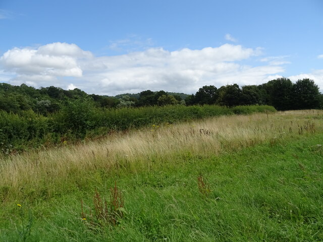
Ankerdine Hill is a small village located in the county of Worcestershire, England. Situated in the heart of the beautiful countryside, it is a picturesque and tranquil place with a population of around 200 residents. The village is nestled on a gentle slope, offering stunning views of the surrounding landscape.

Ankerdine Hill is known for its charming architecture, consisting mainly of traditional English cottages made from local stone. These houses are surrounded by well-maintained gardens, adding to the village's idyllic charm.

The village is home to a close-knit community, with a strong sense of community spirit. Residents actively participate in various local events and social gatherings, fostering a friendly and welcoming atmosphere. The village has a small but well-equipped community center, which serves as a hub for social activities.

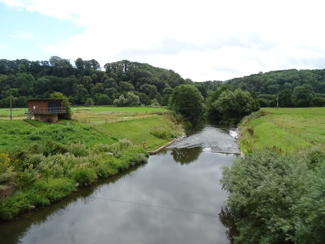
Nature enthusiasts will find Ankerdine Hill particularly appealing, as it is surrounded by an abundance of green spaces and walking trails. The nearby Ankerdine Common is a popular spot for leisurely walks and picnics, offering breathtaking views of the Worcestershire countryside.

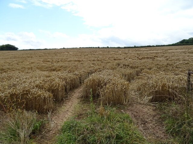
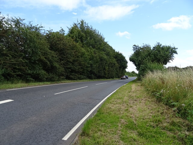
Ankerdine Hill is conveniently located near the bustling market town of Worcester, just a short drive from the village. This provides residents with easy access to a wide range of amenities, including shops, restaurants, and leisure facilities.

Overall, Ankerdine Hill offers a peaceful and charming countryside living experience, making it an attractive place for those seeking a slower pace of life in a picturesque setting.

If you have any feedback on the listing, please let us know in the comments section below.

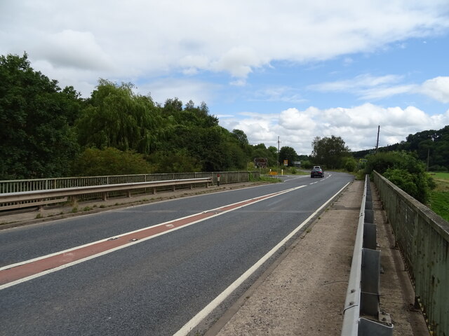
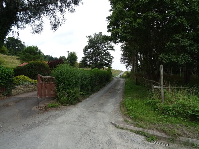
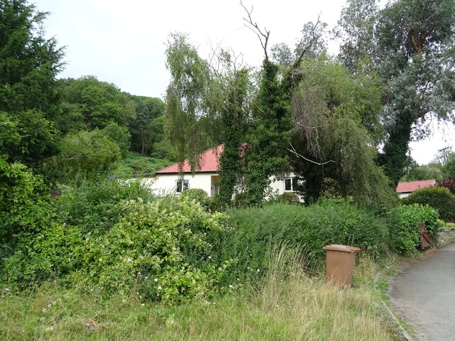
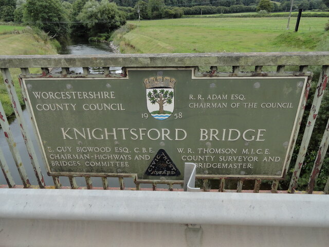
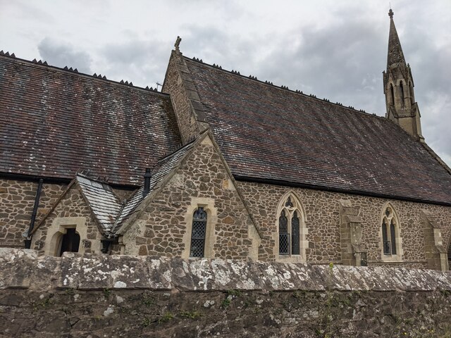
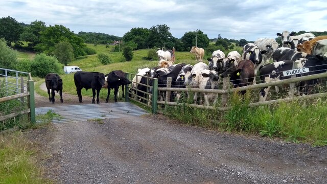
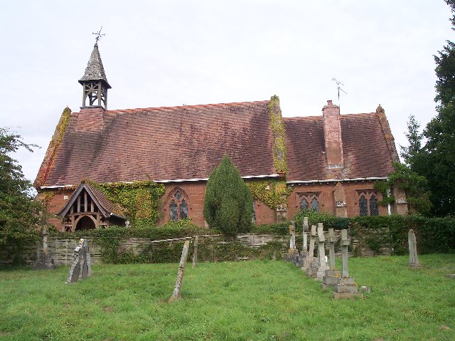
Ankerdine Hill Images

Images are sourced within 2km of 52.206062/-2.384835 or Grid Reference SO7356. Thanks to Geograph Open Source API. All images are credited.

Grassland beside the A44, Sapey Bridge
Cereal crop, Sapey Bridge South of the A44.
Cereal crop, Sapey Bridge
South of the A44.
A44, Sapey Bridge Towards Worcester.
A44, Sapey Bridge
Towards Worcester.
Weir on the River Teme, Knightwick View from Knightsford Bridge.
Weir on the River Teme, Knightwick
View from Knightsford Bridge.
A44, Knightsford Bridge Towards Worcester.
A44, Knightsford Bridge
Towards Worcester.
Track (footpath) off the A44, Darbys Green
Shortlands House on the A44, Darbys Green.
Shortlands
House on the A44, Darbys Green.
Barn, Darbys Green
Barn, Darbys Green
Bend in the A44, Darbys Green Towards Worcester.
Bend in the A44, Darbys Green
Towards Worcester.
Houses, Doddenham
Houses, Doddenham
Band in the A44, Doddenham Towards Worcester.
Band in the A44, Doddenham
Towards Worcester.
Footpath off the A44 south of Doddenham
Orchard near the River Teme
A44 towards Worcester
Direction Sign – Signpost on Easinghope Lane in Doddenham Located in the village on the north side of the T junction with Easinghope Lane, Doddenham parish. 1 modern arm and pawn finial. 

Milestone Society National ID: WO_SO7556
Direction Sign – Signpost on Easinghope Lane in Doddenham
Located in the village on the north side of the T junction with Easinghope Lane, Doddenham parish. 1 modern arm and pawn finial. Milestone Society National ID: WO_SO7556
Old Bridge Marker on the A44 Bridge Marker fixed to the south parapet of Knightsford Bridge, River Teme, on the A44. On the boundary of Knightwick and Doddenham parishes. See also <a title="https://www.geograph.org.uk/photo/554531" href="https://www.geograph.org.uk/photo/554531">Link</a>.

Milestone Society National ID: WO_KNIDOD01br
Old Bridge Marker on the A44
Bridge Marker fixed to the south parapet of Knightsford Bridge, River Teme, on the A44. On the boundary of Knightwick and Doddenham parishes. See also Link. Milestone Society National ID: WO_KNIDOD01br
Former St. Mary's church (Knightwick) Built by A. E. Jenkins in 1856, the church was converted as a private house in the 2000s. This was taken from the B4197 road.
Former St. Mary's church (Knightwick)
Built by A. E. Jenkins in 1856, the church was converted as a private house in the 2000s. This was taken from the B4197 road.
The escape is off Thwarted cows look on, failed by the Escape Committee missing one small detail in their cunning plan.
The escape is off
Thwarted cows look on, failed by the Escape Committee missing one small detail in their cunning plan.
Show me another place!

Ankerdine Hill is located at Grid Ref: SO7356 (Lat: 52.206062, Lng: -2.384835)

Administrative County: Worcestershire

District: Malvern Hills

Police Authority: West Mercia

What 3 Words

///sourcing.resorting.subject. Near Lower Broadheath, Worcestershire

Related Wikis

Ankerdine Hill

Ankerdine Hill is a hill with a summit at 149 metres (489 ft) above sea level, in the civil parish of Doddenham in the Malvern Hills district of Worcestershire...

Knightwick

Knightwick is a small village and civil parish (with Doddenham) in the Malvern Hills district in the county of Worcestershire, England. == History... ==

Osebury Rock

Osebury Rock (also known as Oseberrow or Rosebury) is a cliff on the River Teme near Lulsley in Worcestershire, England where fragmentary rocks of the...

Lulsley

Lulsley is a village and civil parish in the Malvern Hills District of the county of Worcestershire, England, UK. == History == Lulsley was in the upper...

Doddenham

Doddenham is a hamlet and civil parish (with Knightwick) in the Malvern Hills district in the county of Worcestershire, England. Doddenham was in the...

Stanford with Orleton

Stanford with Orleton is a civil parish in the Malvern Hills district, in the county of Worcestershire, England. The parish comprises the villages of Stanford...

Knightwick railway station

Knightwick railway station was a station in Knightwick, Worcestershire, England. The station was opened on 2 May 1874 and closed on 7 September 1964....

Whitbourne, Herefordshire

Whitbourne (Anglo-Saxon for "white stream") is a village in Eastern Herefordshire, England on the banks of the River Teme and close to the A44. It is close...

Nearby Amenities

Located within 500m of 52.206062,-2.384835
Barrier: cattle_grid
Lat/Long: 52.203764/-2.381794
Barrier: block
Note: barbed wire barrier to prevent access to field from path
Lat/Long: 52.2045055/-2.3868372
Tourism: picnic_site
Lat/Long: 52.2071987/-2.3870085
Barrier: kissing_gate
Foot: yes
Lat/Long: 52.2088425/-2.3860193
Barrier: stile
Foot: yes
Lat/Long: 52.2090873/-2.3847352
Fixme: continue
Lat/Long: 52.2081421/-2.3787528
Note: slippery road for 1/2 miles eastbound
Lat/Long: 52.2020125/-2.382078
Covered: no
Leisure: picnic_table
Lat/Long: 52.2055526/-2.38686
Tourism: viewpoint
Lat/Long: 52.2055505/-2.3869135
Tourism: viewpoint
Lat/Long: 52.2073865/-2.3870122
Ankerdine Hill
Power: pole
Transformer: distribution
Voltage Primary: 11000
Lat/Long: 52.207271/-2.3862961
Power: pole
Lat/Long: 52.2075123/-2.3863045
Power: pole
Lat/Long: 52.2081322/-2.386329
Ankerdine
Material: wood
Power: pole
Transformer: distribution
Voltage Primary: 11000
Lat/Long: 52.2086439/-2.3856543
Power: pole
Lat/Long: 52.2091934/-2.3849467
Shortlands
Power: pole
Transformer: distribution
Voltage Primary: 11000
Lat/Long: 52.2022258/-2.3828396
Power: pole
Lat/Long: 52.2029812/-2.381748
Power: pole
Lat/Long: 52.2025842/-2.3823461
Power: pole
Lat/Long: 52.2040316/-2.380771
Power: pole
Lat/Long: 52.2034772/-2.3809969
Darby Green
Power: pole
Transformer: distribution
Voltage Primary: 11000
Lat/Long: 52.2046077/-2.3805115
Power: pole
Lat/Long: 52.2049019/-2.3798355
Power: pole
Lat/Long: 52.2052488/-2.3791502
Power: pole
Lat/Long: 52.2057575/-2.3778621
Power: pole
Lat/Long: 52.2055915/-2.3784274
Power: pole
Lat/Long: 52.2052011/-2.3780827
The data included in this document is from www.openstreetmap.org. The data is made available under ODbL.

Have you been to Ankerdine Hill?

Leave your review of Ankerdine Hill below (or comments, questions and feedback).