Bridge Coppice
Wood, Forest in Worcestershire Malvern Hills
England
Bridge Coppice
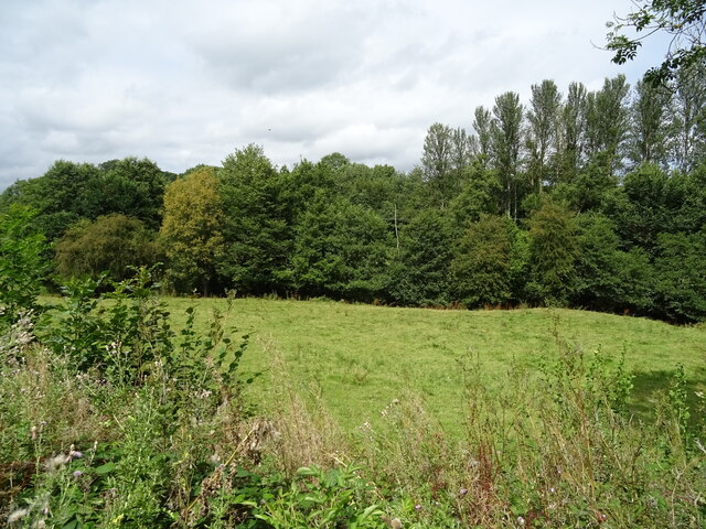
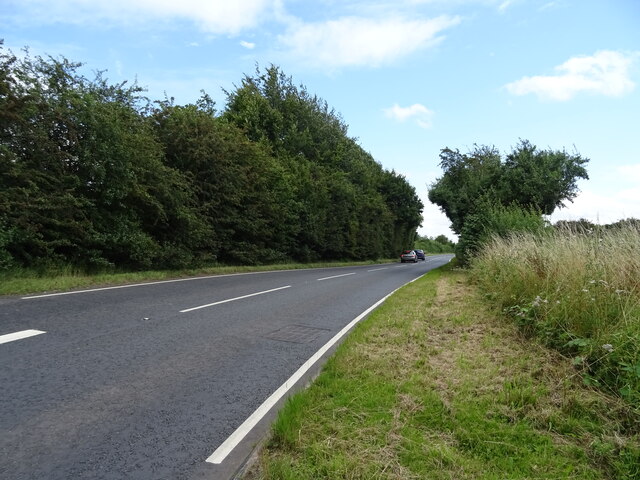
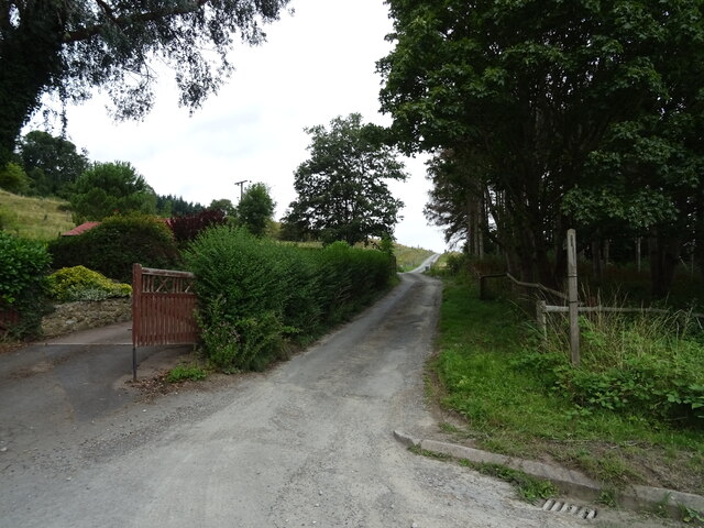
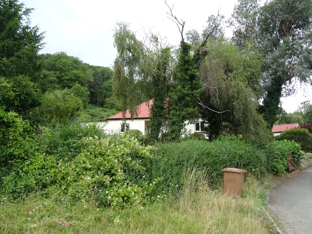
Bridge Coppice is a scenic woodland located in Worcestershire, England. Covering an area of approximately 50 acres, it is a notable site for nature lovers and outdoor enthusiasts. The coppice is situated just a few miles from the town of Kidderminster and is easily accessible via public transportation or by car.
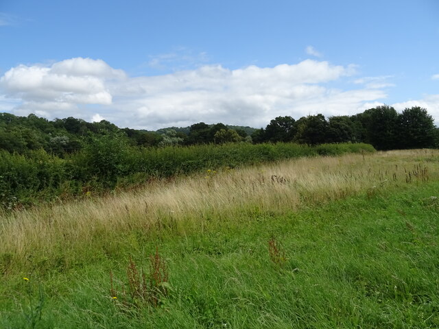
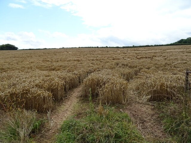
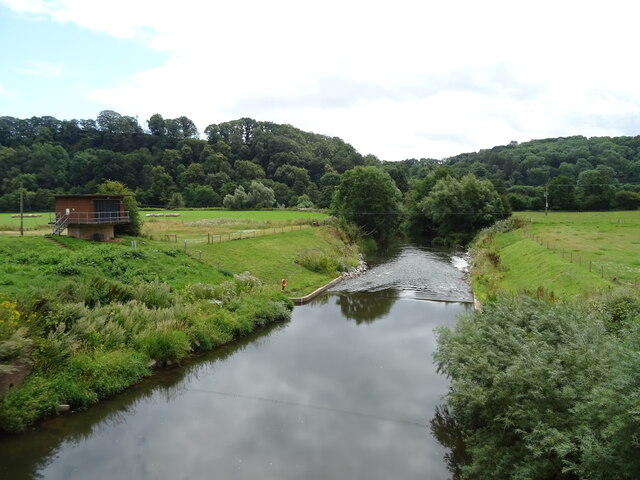
The woodland is primarily composed of mixed deciduous trees, including oak, ash, and birch, creating a diverse and vibrant ecosystem. It is considered a valuable habitat for a variety of wildlife, including deer, foxes, and numerous bird species. With its dense canopy and undergrowth, Bridge Coppice provides an ideal environment for many woodland creatures to thrive.
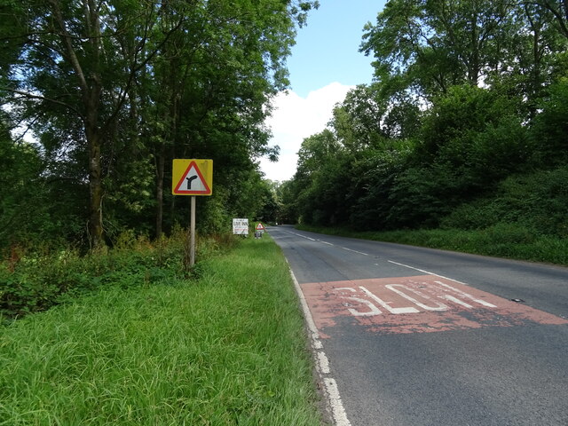
Visitors to Bridge Coppice can enjoy a range of activities such as walking, birdwatching, and photography. The woodland is crisscrossed with a network of well-maintained footpaths, allowing visitors to explore its beauty at their own pace. There are also designated picnic areas, making it a great spot for a leisurely lunch surrounded by nature.
Bridge Coppice offers something for all seasons, with vibrant spring blooms, lush greenery in the summer, stunning autumn foliage, and a peaceful winter landscape. The changing seasons provide visitors with a unique experience throughout the year.
Managed by the local authorities, Bridge Coppice is a cherished natural space that offers a peaceful and serene escape from the hustle and bustle of everyday life. Whether seeking solitude or a family outing, this woodland provides an opportunity to reconnect with nature and enjoy the beauty of Worcestershire's countryside.
If you have any feedback on the listing, please let us know in the comments section below.
Bridge Coppice Images
Images are sourced within 2km of 52.203242/-2.3888277 or Grid Reference SO7356. Thanks to Geograph Open Source API. All images are credited.


Bridge Coppice is located at Grid Ref: SO7356 (Lat: 52.203242, Lng: -2.3888277)
Administrative County: Worcestershire
District: Malvern Hills
Police Authority: West Mercia
What 3 Words
///committed.shuts.heckler. Near Lower Broadheath, Worcestershire
Nearby Locations
Related Wikis

Ankerdine Hill
Ankerdine Hill is a hill with a summit at 149 metres (489 ft) above sea level, in the civil parish of Doddenham in the Malvern Hills district of Worcestershire...

Knightwick
Knightwick is a small village and civil parish (with Doddenham) in the Malvern Hills district in the county of Worcestershire, England. == History... ==

Osebury Rock
Osebury Rock (also known as Oseberrow or Rosebury) is a cliff on the River Teme near Lulsley in Worcestershire, England where fragmentary rocks of the...
Lulsley
Lulsley is a village and civil parish in the Malvern Hills District of the county of Worcestershire, England, UK. == History == Lulsley was in the upper...

Knightwick railway station
Knightwick railway station was a station in Knightwick, Worcestershire, England. The station was opened on 2 May 1874 and closed on 7 September 1964....

Whitbourne, Herefordshire
Whitbourne (Anglo-Saxon for "white stream") is a village in Eastern Herefordshire, England on the banks of the River Teme and close to the A44. It is close...

Doddenham
Doddenham is a hamlet and civil parish (with Knightwick) in the Malvern Hills district in the county of Worcestershire, England. Doddenham was in the...

Stanford with Orleton
Stanford with Orleton is a civil parish in the Malvern Hills district, in the county of Worcestershire, England. The parish comprises the villages of Stanford...
Nearby Amenities
Located within 500m of 52.203242,-2.3888277Have you been to Bridge Coppice?
Leave your review of Bridge Coppice below (or comments, questions and feedback).