Ankerdine Hill

Hill, Mountain in Worcestershire Malvern Hills

England

Ankerdine Hill

The Wheatsheaf, Whitbourne Currently closed and for sale.
The Wheatsheaf, Whitbourne Credit: JThomas

Ankerdine Hill, located in Worcestershire, England, is a prominent hill that forms part of the Malvern Hills range. Rising to a height of approximately 263 meters (863 feet), it offers stunning panoramic views of the surrounding countryside. Positioned to the northwest of the town of Great Witley, the hill is a popular destination for hikers, nature enthusiasts, and those seeking a peaceful retreat.

Ankerdine Hill is characterized by its gentle slopes, which are covered with lush green grass and scattered with rocky outcrops. The hill is predominantly composed of ancient rocks, including igneous and sedimentary formations, which add to its geological significance. Due to its relatively low elevation, Ankerdine Hill is accessible to both experienced hikers and casual walkers, making it an ideal spot for outdoor activities.

The hill is renowned for its rich biodiversity, with a variety of plant and animal species calling it their home. Woodland areas provide habitat for numerous birds, including buzzards, kestrels, and owls, while wildflowers and ferns can be found in abundance during the spring and summer months.

Ankerdine Hill is easily accessible, with a network of footpaths and trails leading to its summit. Visitors can enjoy a leisurely hike through picturesque countryside, taking in the breathtaking views from the top. The hill offers a peaceful and tranquil environment, allowing visitors to reconnect with nature and escape the hustle and bustle of everyday life.

Overall, Ankerdine Hill in Worcestershire provides a beautiful natural landscape, fascinating geological features, and a diverse array of flora and fauna, making it a must-visit destination for nature lovers and outdoor enthusiasts.

If you have any feedback on the listing, please let us know in the comments section below.

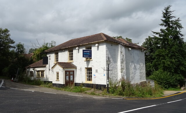
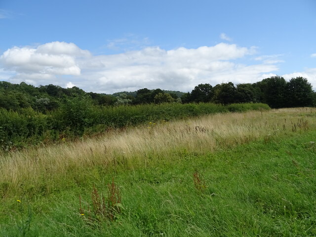
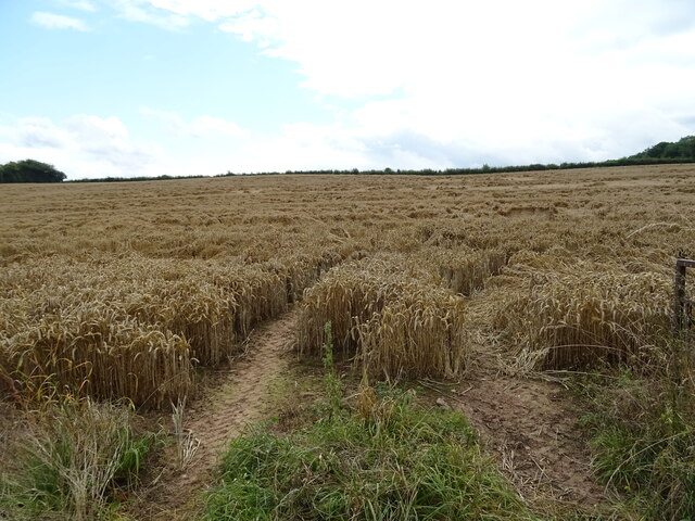
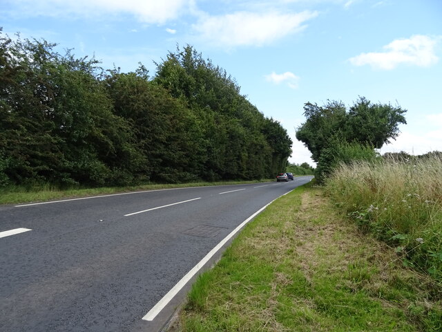
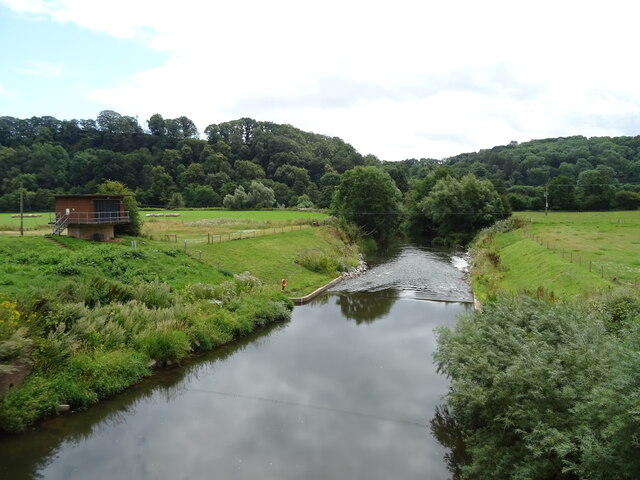
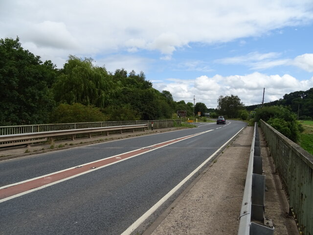
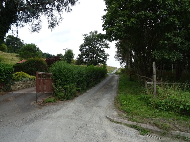
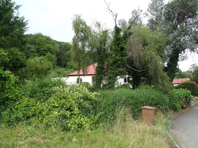
Ankerdine Hill Images

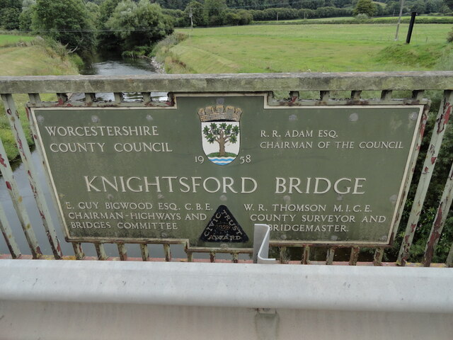
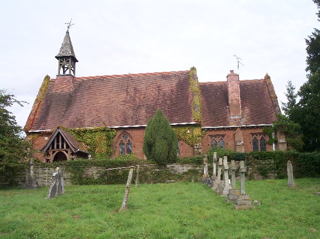
Images are sourced within 2km of 52.205549/-2.3870041 or Grid Reference SO7356. Thanks to Geograph Open Source API. All images are credited.

The Wheatsheaf, Whitbourne Currently closed and for sale.
The Wheatsheaf, Whitbourne
Currently closed and for sale.
Sign for the Wheatsheaf, Whitbourne
Grassland beside the A44, Sapey Bridge
Cereal crop, Sapey Bridge South of the A44.
Cereal crop, Sapey Bridge
South of the A44.
A44, Sapey Bridge Towards Worcester.
A44, Sapey Bridge
Towards Worcester.
Weir on the River Teme, Knightwick View from Knightsford Bridge.
Weir on the River Teme, Knightwick
View from Knightsford Bridge.
A44, Knightsford Bridge Towards Worcester.
A44, Knightsford Bridge
Towards Worcester.
Track (footpath) off the A44, Darbys Green
Shortlands House on the A44, Darbys Green.
Shortlands
House on the A44, Darbys Green.
Barn, Darbys Green
Barn, Darbys Green
Bend in the A44, Darbys Green Towards Worcester.
Bend in the A44, Darbys Green
Towards Worcester.
Houses, Doddenham
Houses, Doddenham
Band in the A44, Doddenham Towards Worcester.
Band in the A44, Doddenham
Towards Worcester.
Footpath off the A44 south of Doddenham
Orchard near the River Teme
A44 towards Worcester
Direction Sign – Signpost on Easinghope Lane in Doddenham Located in the village on the north side of the T junction with Easinghope Lane, Doddenham parish. 1 modern arm and pawn finial. 

Milestone Society National ID: WO_SO7556
Direction Sign – Signpost on Easinghope Lane in Doddenham
Located in the village on the north side of the T junction with Easinghope Lane, Doddenham parish. 1 modern arm and pawn finial. Milestone Society National ID: WO_SO7556
Old Bridge Marker on the A44 Bridge Marker fixed to the south parapet of Knightsford Bridge, River Teme, on the A44. On the boundary of Knightwick and Doddenham parishes. See also <a title="https://www.geograph.org.uk/photo/554531" href="https://www.geograph.org.uk/photo/554531">Link</a>.

Milestone Society National ID: WO_KNIDOD01br
Old Bridge Marker on the A44
Bridge Marker fixed to the south parapet of Knightsford Bridge, River Teme, on the A44. On the boundary of Knightwick and Doddenham parishes. See also Link. Milestone Society National ID: WO_KNIDOD01br
Show me another place!

Ankerdine Hill is located at Grid Ref: SO7356 (Lat: 52.205549, Lng: -2.3870041)

Administrative County: Worcestershire

District: Malvern Hills

Police Authority: West Mercia

What 3 Words

///crown.shall.disgraced. Near Lower Broadheath, Worcestershire

Related Wikis

Ankerdine Hill

Ankerdine Hill is a hill with a summit at 149 metres (489 ft) above sea level, in the civil parish of Doddenham in the Malvern Hills district of Worcestershire...

Knightwick

Knightwick is a small village and civil parish (with Doddenham) in the Malvern Hills district in the county of Worcestershire, England. == History... ==

Osebury Rock

Osebury Rock (also known as Oseberrow or Rosebury) is a cliff on the River Teme near Lulsley in Worcestershire, England where fragmentary rocks of the...

Lulsley

Lulsley is a village and civil parish in the Malvern Hills District of the county of Worcestershire, England, UK. == History == Lulsley was in the upper...

Knightwick railway station

Knightwick railway station was a station in Knightwick, Worcestershire, England. The station was opened on 2 May 1874 and closed on 7 September 1964....

Whitbourne, Herefordshire

Whitbourne (Anglo-Saxon for "white stream") is a village in Eastern Herefordshire, England on the banks of the River Teme and close to the A44. It is close...

Doddenham

Doddenham is a hamlet and civil parish (with Knightwick) in the Malvern Hills district in the county of Worcestershire, England. Doddenham was in the...

Stanford with Orleton

Stanford with Orleton is a civil parish in the Malvern Hills district, in the county of Worcestershire, England. The parish comprises the villages of Stanford...

Nearby Amenities

Located within 500m of 52.205549,-2.3870041
Church
Naptan AtcoCode: 2000G070300
Naptan Bearing: SW
Naptan BusStopType: CUS
Naptan CommonName: Church
Naptan Indicator: Adj
Naptan Landmark: church
Naptan NaptanCode: wocdwmpg
Naptan Street: B4197
Naptan Verified: no
Source: naptan_import
Lat/Long: 52.2023763/-2.3906615
Barrier: stile
Foot: yes
Lat/Long: 52.2013899/-2.3871851
Post Box
Collection Times: Mo-Fr 16:45; Sa 11:00
Post Box Type: lamp
Ref: WR6 278
Royal Cypher: EIIR
Royal Cypher Wikidata: Q33102113
Lat/Long: 52.2021231/-2.3911972
Barrier: cattle_grid
Lat/Long: 52.203764/-2.381794
Barrier: block
Note: barbed wire barrier to prevent access to field from path
Lat/Long: 52.2045055/-2.3868372
Tourism: picnic_site
Lat/Long: 52.2071987/-2.3870085
Barrier: kissing_gate
Foot: yes
Lat/Long: 52.2088425/-2.3860193
Barrier: stile
Foot: yes
Lat/Long: 52.2090873/-2.3847352
Power: pole
Lat/Long: 52.2028778/-2.3927397
Power: pole
Lat/Long: 52.2039924/-2.3932504
Material: wood
Power: pole
Lat/Long: 52.2049857/-2.393641
Ankerdine Farm
Power: pole
Transformer: distribution
Voltage Primary: 11000
Lat/Long: 52.2055265/-2.3936965
Power: pole
Lat/Long: 52.2064165/-2.3942075
Power: pole
Lat/Long: 52.2069923/-2.3936691
Power: pole
Lat/Long: 52.2076299/-2.3929995
Power: pole
Lat/Long: 52.2082681/-2.3923916
Covered: no
Leisure: picnic_table
Lat/Long: 52.2055526/-2.38686
Tourism: viewpoint
Lat/Long: 52.2055505/-2.3869135
Tourism: viewpoint
Lat/Long: 52.2073865/-2.3870122
Ankerdine Hill
Power: pole
Transformer: distribution
Voltage Primary: 11000
Lat/Long: 52.207271/-2.3862961
Power: pole
Lat/Long: 52.2075123/-2.3863045
Power: pole
Lat/Long: 52.2081322/-2.386329
Ankerdine
Material: wood
Power: pole
Transformer: distribution
Voltage Primary: 11000
Lat/Long: 52.2086439/-2.3856543
Power: pole
Lat/Long: 52.2091934/-2.3849467
Shortlands
Power: pole
Transformer: distribution
Voltage Primary: 11000
Lat/Long: 52.2022258/-2.3828396
Power: pole
Lat/Long: 52.2029812/-2.381748
Power: pole
Lat/Long: 52.2025842/-2.3823461
Power: pole
Lat/Long: 52.2040316/-2.380771
Power: pole
Lat/Long: 52.2034772/-2.3809969
Darby Green
Power: pole
Transformer: distribution
Voltage Primary: 11000
Lat/Long: 52.2046077/-2.3805115
Power: pole
Lat/Long: 52.2049019/-2.3798355
The data included in this document is from www.openstreetmap.org. The data is made available under ODbL.

Have you been to Ankerdine Hill?

Leave your review of Ankerdine Hill below (or comments, questions and feedback).