Sourlands Hill
Hill, Mountain in Westmorland Eden
England
Sourlands Hill
Sourlands Hill, also known as Westmorland Hill or Sourland Mountain, is a prominent geographical feature located in Westmorland County, England. Rising to a height of approximately 1,545 feet (471 meters), it stands as one of the highest points in the region. Sourlands Hill is situated within the larger Pennines mountain range, renowned for its stunning natural beauty and diverse wildlife.
The hill is characterized by its distinctive shape, with a gently sloping northern side and a steeper, craggy southern face. Its summit offers breathtaking panoramic views of the surrounding countryside, including rolling green hills, meandering rivers, and charming villages nestled in the valleys below.
Sourlands Hill is covered in a variety of vegetation, predominantly consisting of heather, grasses, and shrubs, which provide habitat for a range of animal species. The hill is home to numerous bird species, including peregrine falcons, kestrels, and curlews, making it a popular spot for birdwatchers.
Additionally, Sourlands Hill has historical significance, with remnants of ancient settlements and prehistoric burial sites scattered across its slopes. These archaeological features provide evidence of human occupation in the area dating back thousands of years.
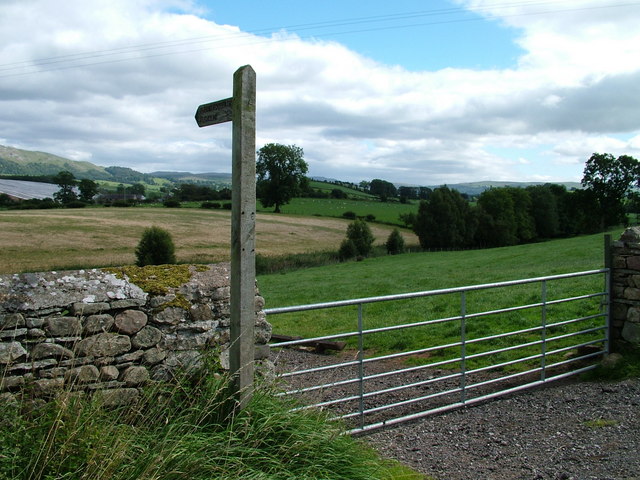
Outdoor enthusiasts are drawn to Sourlands Hill for its extensive network of hiking trails, which offer opportunities for leisurely walks as well as more challenging climbs. The hill is a popular destination for both locals and tourists seeking to experience the natural beauty and tranquility of the Westmorland countryside.
If you have any feedback on the listing, please let us know in the comments section below.
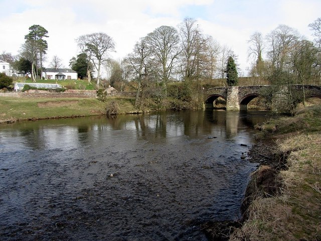
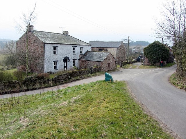
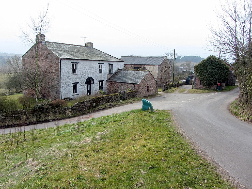
Sourlands Hill Images
Images are sourced within 2km of 54.529372/-2.4086861 or Grid Reference NY7314. Thanks to Geograph Open Source API. All images are credited.


Sourlands Hill is located at Grid Ref: NY7314 (Lat: 54.529372, Lng: -2.4086861)
Administrative County: Cumbria
District: Eden
Police Authority: Cumbria
What 3 Words
///seemingly.storage.crawled. Near Appleby-in-Westmorland, Cumbria
Nearby Locations
Related Wikis
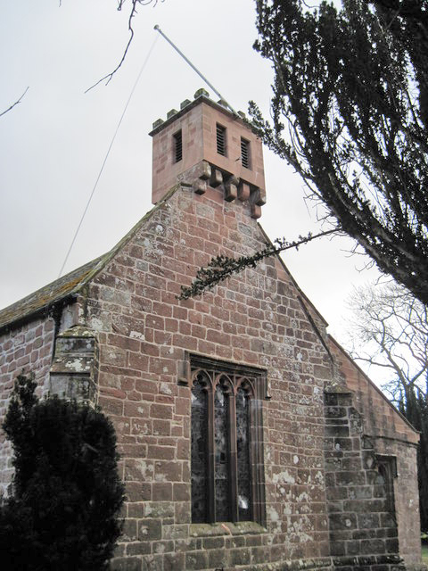
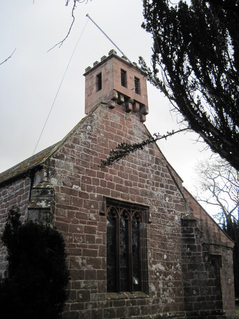
St Columba's Church, Warcop
St Columba's Church is in the village of Warcop, Cumbria, England. It is an active Anglican parish church in the deanery of Appleby, the archdeaconry...
Bleatarn
Bleatarn is a hamlet in Cumbria, England. It is located 3.3 miles (5.3 km) by road to the northwest of Soulby. == See also == List of places in Cumbria...

Warcop
Warcop is a village and civil parish in the Eden district of Cumbria, England. The parish had a population of 491 in the 2001 census, increasing to 532...

Sandford, Cumbria
Sandford is a small village in the Eden district, in the county of Cumbria, England. It is near the A66 road. It has one pub. == Location grid == ��2...

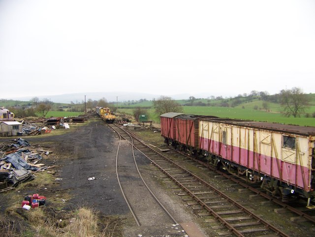
Warcop railway station
Warcop railway station was situated on the Eden Valley Railway between Penrith and Kirkby Stephen East. It served the village of Warcop. The station opened...
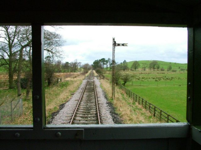
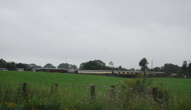
Eden Valley Railway (heritage railway)
The Eden Valley Railway (EVR) is a standard gauge heritage railway in Cumbria, England. It runs over a 2.2 miles (3.5 km) section of the original Eden...
Flitholme
Flitholme is a hamlet in the parish of Musgrave, in the Eden District, in the English county of Cumbria. == Location == It is located on an unclassified...
Little Musgrave
Little Musgrave is a small village and former civil parish, now in the parish of Musgrave, in the Eden district of Cumbria, England. In 1891 the parish...
Related Videos

Hiking On A Military Firing Range! (Warcop Fell Hike)
In this video I hike onto a Military firing range which can only be walked on once a week! Every Sunday you can use the footpaths ...

Roman Fell & Warcop Ranges, North Pennines - 28 May 2022
A 12.4 mile walk from Hilton into the Warcop Ranges of the North Pennines. The route heads into the ranges to Dogber Tarn ...

A Nostalgic Train Ride
I recently visited the Eden Valley Railway at Warcop (near Penrith) to ride on one of their preserved class 411 "CEP" southern ...
![How To Drive A Real Locomotive For Just £5 Here In The UK [4k 60fps]](https://i.ytimg.com/vi/v1WCjBvi4sg/hqdefault.jpg)
How To Drive A Real Locomotive For Just £5 Here In The UK [4k 60fps]
Of course driving a loco is a dream many of us have had, thankfully there is a place in the UK where you can do this for just £5.
Nearby Amenities
Located within 500m of 54.529372,-2.4086861Have you been to Sourlands Hill?
Leave your review of Sourlands Hill below (or comments, questions and feedback).