Douglass Plantation
Wood, Forest in Devon Teignbridge
England
Douglass Plantation
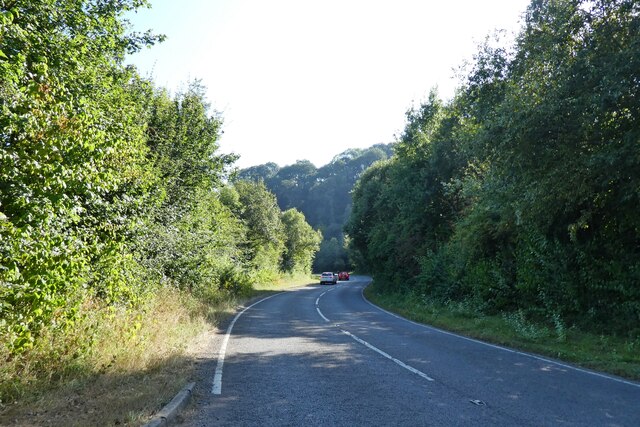
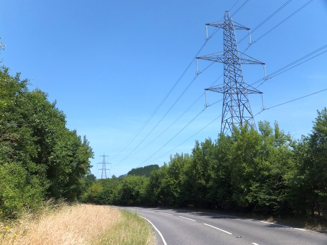
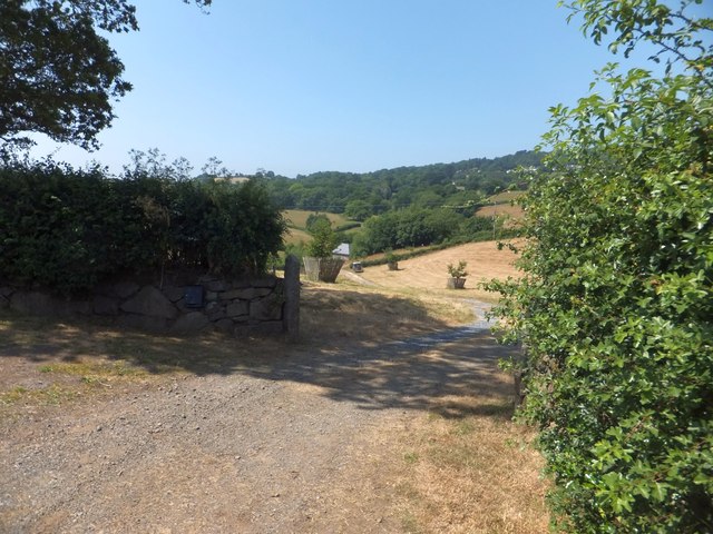
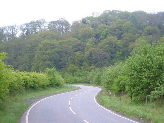
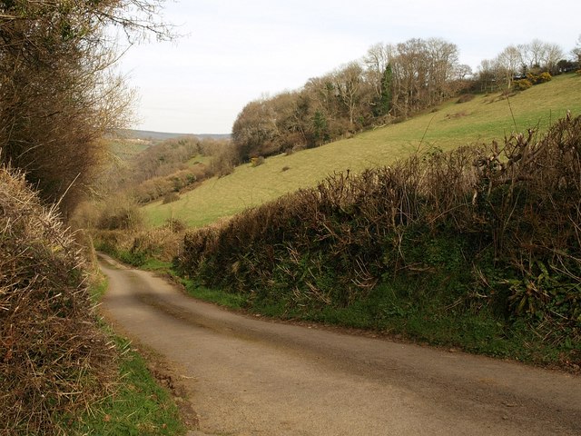
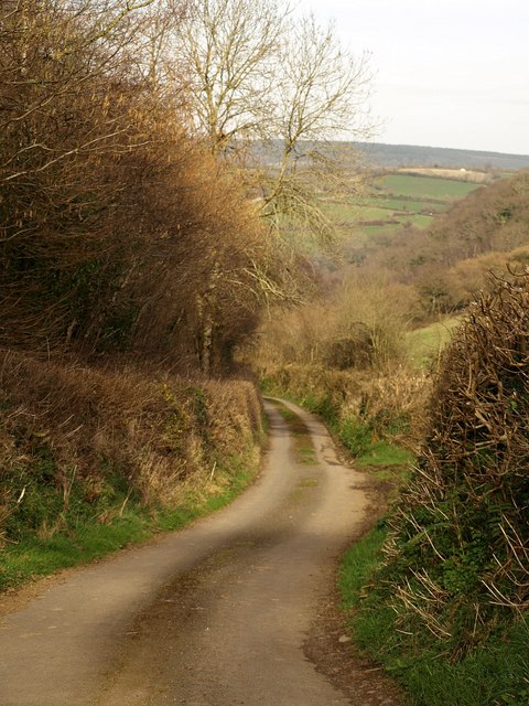
Douglass Plantation, located in Devon, England, is a picturesque woodland area known for its abundant natural beauty and rich history. Situated in the heart of the county, the plantation covers a vast area of lush greenery, encompassing both woodlands and forests.
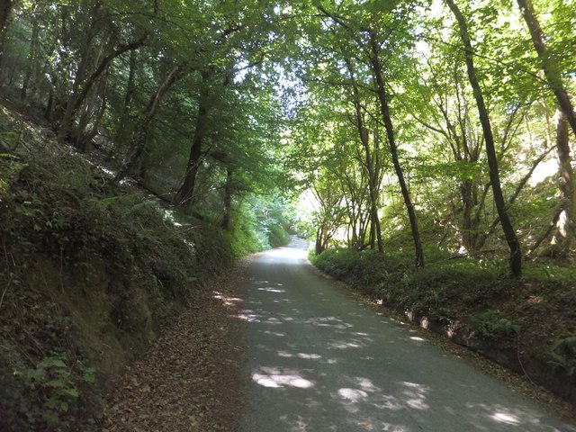
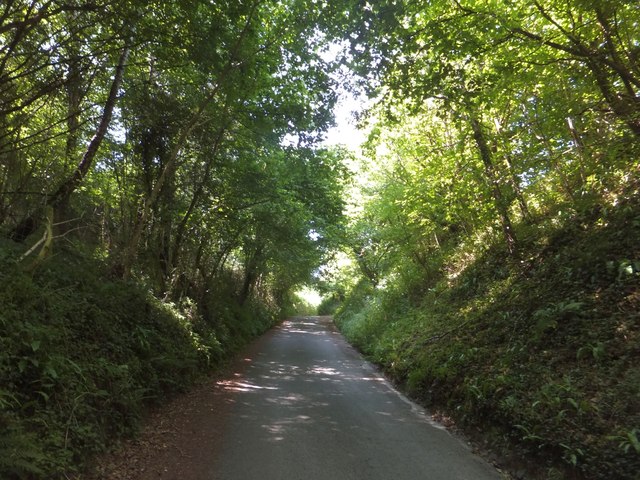
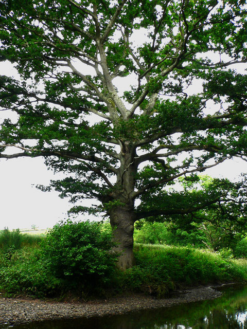
The plantation is home to a diverse range of flora and fauna, making it a popular destination for nature enthusiasts and wildlife lovers. The woodlands are characterized by towering oak, beech, and pine trees, creating a serene and tranquil atmosphere. The forested areas are dotted with ancient trees, some dating back centuries, adding a touch of mystique to the landscape.
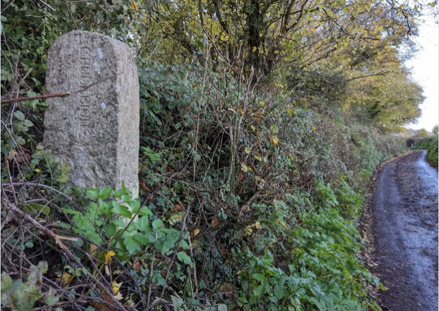
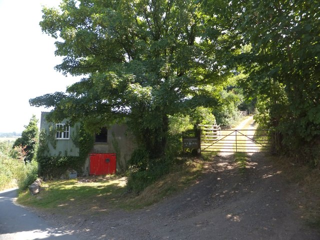
The plantation's history dates back several centuries, with records indicating its existence as early as the 17th century. Originally used for timber production, the land has since evolved into a protected area dedicated to the preservation of nature. The remnants of old sawmills and logging camps can still be found scattered throughout the plantation, serving as a reminder of its past.
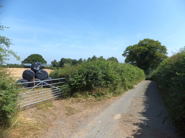
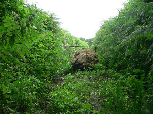
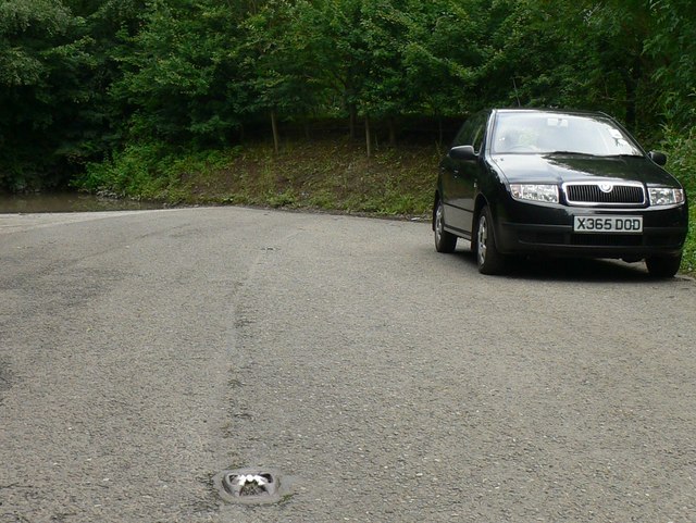
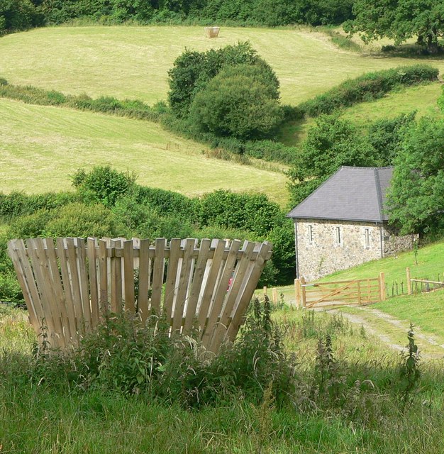
Visitors to Douglass Plantation can explore its numerous walking trails, which wind through the woods and offer breathtaking views of the surrounding countryside. The plantation also boasts a variety of recreational activities, including birdwatching, photography, and picnicking. Additionally, guided tours are available for those interested in learning more about the plantation's history and ecological significance.
In conclusion, Douglass Plantation in Devon is a natural oasis, offering visitors a chance to immerse themselves in the beauty of the woodlands and forests. Its rich history and diverse ecosystem make it a must-visit destination for anyone seeking a peaceful retreat or an opportunity to connect with nature.
If you have any feedback on the listing, please let us know in the comments section below.
Douglass Plantation Images
Images are sourced within 2km of 50.598458/-3.6289272 or Grid Reference SX8478. Thanks to Geograph Open Source API. All images are credited.
Douglass Plantation is located at Grid Ref: SX8478 (Lat: 50.598458, Lng: -3.6289272)
Administrative County: Devon
District: Teignbridge
Police Authority: Devon and Cornwall
What 3 Words
///mistress.lunges.emulated. Near Chudleigh Knighton, Devon
Related Wikis

Stokelake
Stokelake Residential School was in Chudleigh, South Devon. It was classed as the senior school of Pitt House School Ltd and the chairman was Mr. M. C...
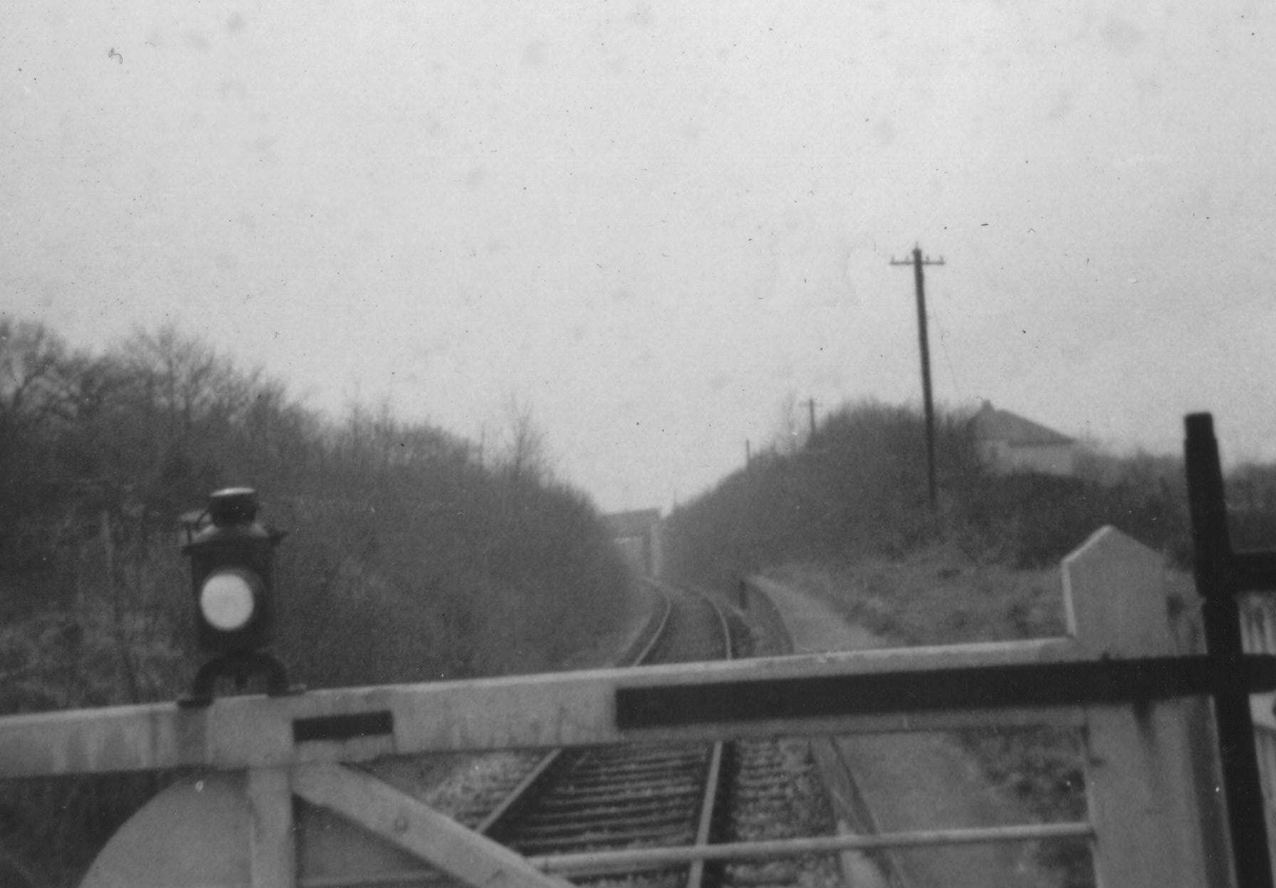
Chudleigh railway station
Chudleigh railway station was a railway station in Chudleigh, a small town in Devon, England located between the towns of Newton Abbot and Exeter. The...
Chudleigh Knighton
Chudleigh Knighton is a small village in Devon, England, near to Newton Abbot and Bovey Tracey. == Amenities == Chudleigh Knighton Church of England Primary...
Chudleigh Cavern
Chudleigh Cavern is a limestone cave outside the town of Chudleigh in Devon, England. The cave is deep and contains stalactites. A small part is open to...
Nearby Amenities
Located within 500m of 50.598458,-3.6289272Have you been to Douglass Plantation?
Leave your review of Douglass Plantation below (or comments, questions and feedback).