Dunley Plantation
Wood, Forest in Devon Teignbridge
England
Dunley Plantation

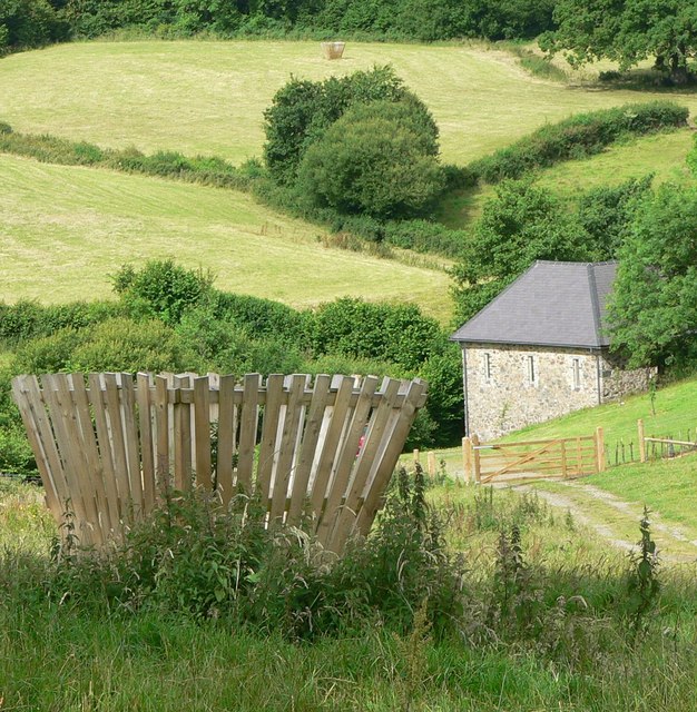
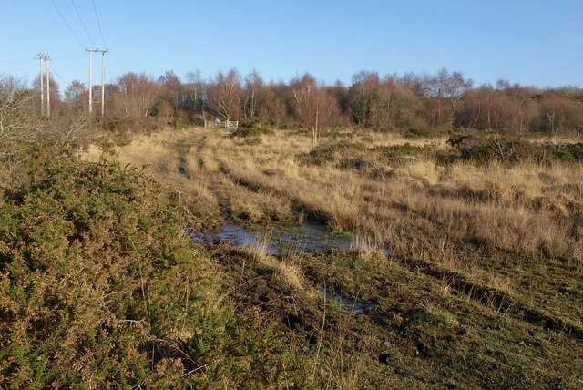
Dunley Plantation, located in Devon, England, is a picturesque woodland estate that spans over several acres. Nestled amidst the serene surroundings of the Devonshire countryside, this exceptional plantation offers a unique blend of natural beauty and historical significance.
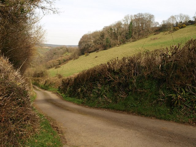
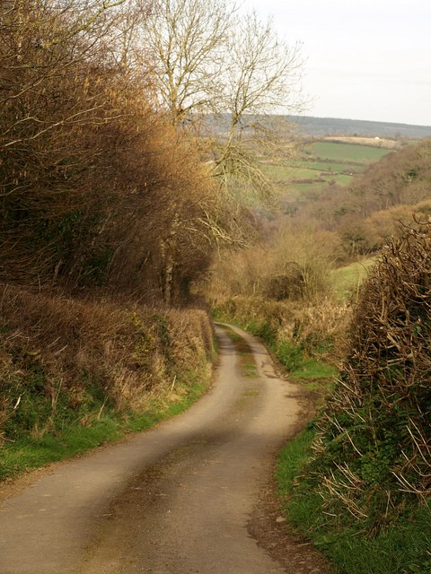
The plantation is primarily composed of dense woodlands, abundant with a diverse range of tree species, including oak, beech, and pine. These ancient trees provide a captivating canopy, creating a mesmerizing play of light and shadow throughout the plantation. Walking along the well-maintained trails, visitors can immerse themselves in the tranquil ambiance and enjoy the soothing sounds of nature.
Steeped in history, Dunley Plantation boasts a rich heritage dating back several centuries. The estate's main manor house, originally constructed in the 17th century, stands as a testament to the region's architectural heritage. Its grandeur and elegance are complemented by the charming outbuildings, including stables and cottages, which have been lovingly preserved.
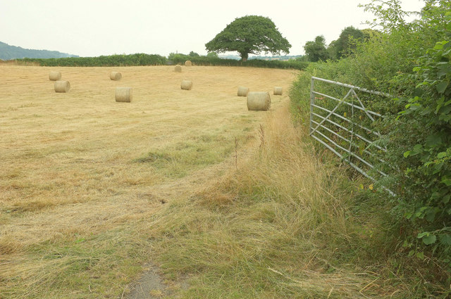
In addition to its natural and architectural wonders, Dunley Plantation offers a range of recreational activities to cater to visitors of all ages. Adventure enthusiasts can explore the plantation on designated biking or hiking trails, while families can enjoy picnics in the well-manicured gardens or engage in traditional outdoor games on the sprawling lawns.
Overall, Dunley Plantation in Devon is a captivating destination that seamlessly blends history and nature. With its stunning woodlands, historic manor house, and array of recreational offerings, it provides an idyllic setting for those seeking a tranquil escape or a deeper connection with the region's rich heritage.
If you have any feedback on the listing, please let us know in the comments section below.
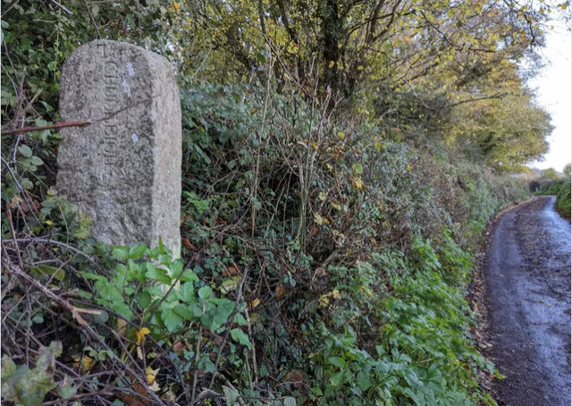
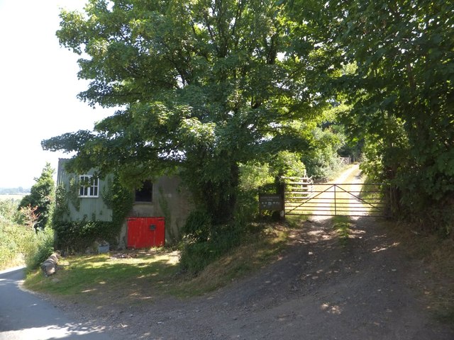
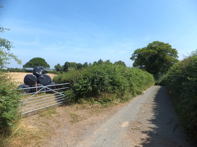
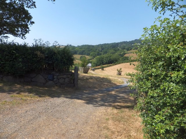
Dunley Plantation Images
Images are sourced within 2km of 50.597721/-3.6391602 or Grid Reference SX8478. Thanks to Geograph Open Source API. All images are credited.


Dunley Plantation is located at Grid Ref: SX8478 (Lat: 50.597721, Lng: -3.6391602)
Administrative County: Devon
District: Teignbridge
Police Authority: Devon and Cornwall
What 3 Words
///luckier.punctured.expressed. Near Chudleigh Knighton, Devon
Related Wikis
Chudleigh Knighton Heath
Chudleigh Knighton Heath, near Chudleigh Knighton, Devon is a Site of Special Scientific Interest, so designated because of its rare lowland heath vegetation...

Stokelake
Stokelake Residential School was in Chudleigh, South Devon. It was classed as the senior school of Pitt House School Ltd and the chairman was Mr. M. C...
Chudleigh Knighton
Chudleigh Knighton is a small village in Devon, England, near to Newton Abbot and Bovey Tracey. == Amenities == Chudleigh Knighton Church of England Primary...
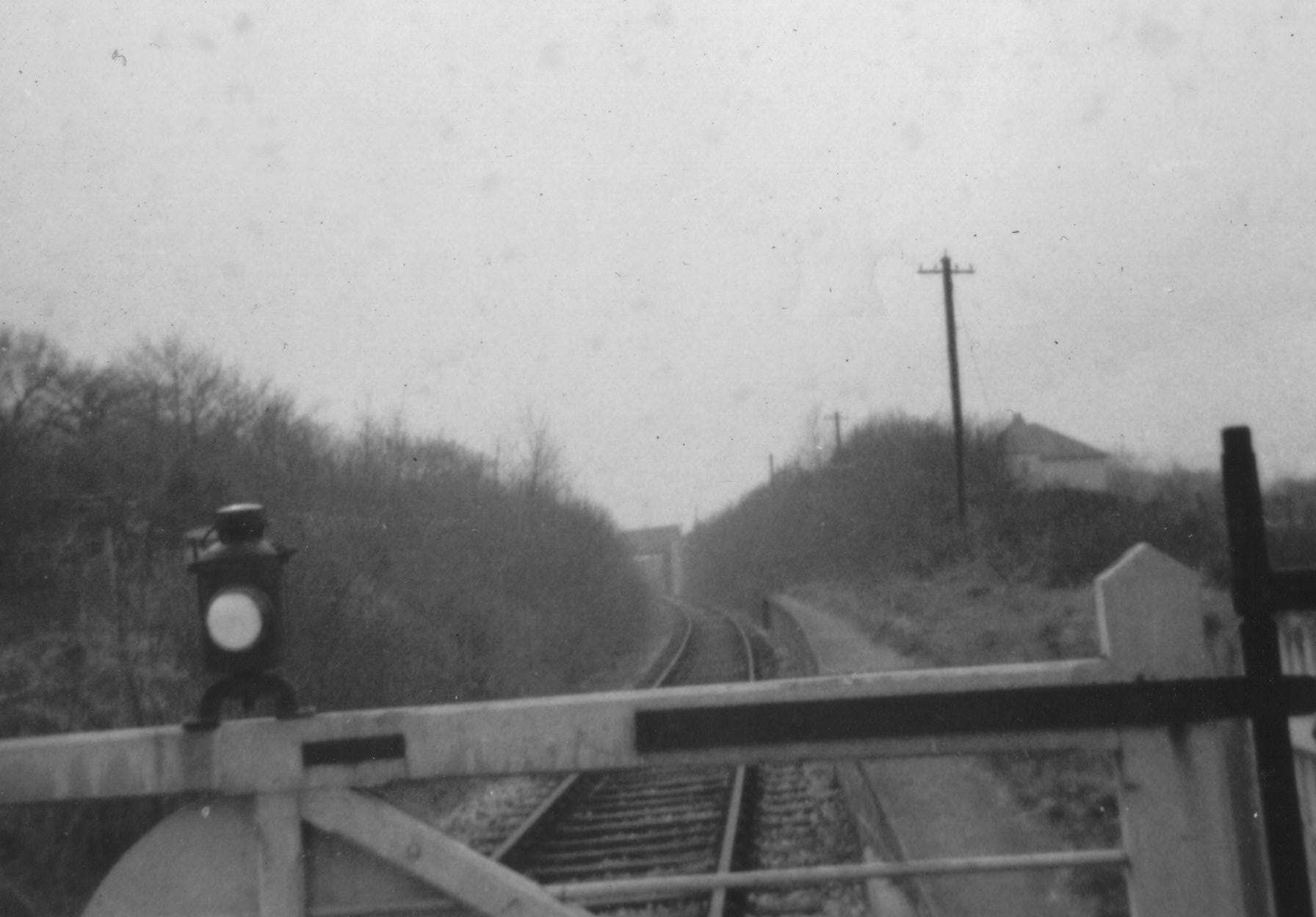
Chudleigh railway station
Chudleigh railway station was a railway station in Chudleigh, a small town in Devon, England located between the towns of Newton Abbot and Exeter. The...
Chudleigh Knighton Halt railway station
Chudleigh Knighton Halt was on the Teign Valley Line serving the small village of Chudleigh Knighton, Devon, England. The halt, built by the Great Western...

Teignbridge
Teignbridge is a local government district in Devon, England. Its council is based in the town of Newton Abbot. The district also includes the towns of...

Hennock
Hennock is a village and civil parish about 3 miles west north west of Chudleigh, in the Teignbridge district, in the county of Devon, England. In 2011...

Harbourne River
The Harbourne River is a river in Devon in England. Its estuary is known as Bow Creek, and flows into the River Dart near Stoke Gabriel. The river rises...
Nearby Amenities
Located within 500m of 50.597721,-3.6391602Have you been to Dunley Plantation?
Leave your review of Dunley Plantation below (or comments, questions and feedback).