Down Plantation
Wood, Forest in Devon Teignbridge
England
Down Plantation
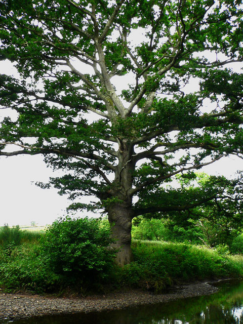
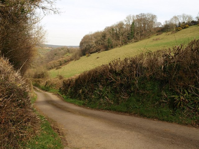
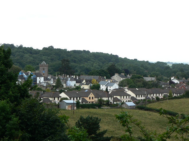
Down Plantation is a picturesque woodland located in the county of Devon, England. Situated in the heart of the scenic Dartmoor National Park, this enchanting forest covers an area of approximately 50 hectares. The plantation is characterized by its diverse range of native trees, including oak, beech, birch, and pine, which create a vibrant tapestry of colors throughout the year.
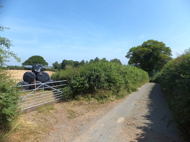
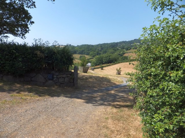
The woodland is traversed by a network of well-maintained footpaths, making it an ideal destination for nature lovers, hikers, and wildlife enthusiasts. The tranquil atmosphere of the plantation offers visitors the opportunity to immerse themselves in the natural beauty of the surrounding landscape. The forest floor is carpeted with mosses, ferns, and wildflowers, adding to the charm and allure of the area.
Down Plantation is teeming with a rich array of wildlife, providing a haven for numerous species. Birdwatchers can spot a variety of birds such as woodpeckers, owls, and thrushes, while lucky visitors may even catch a glimpse of the elusive roe deer or the shy badger. The plantation also serves as a habitat for an assortment of small mammals, including voles, shrews, and bats.
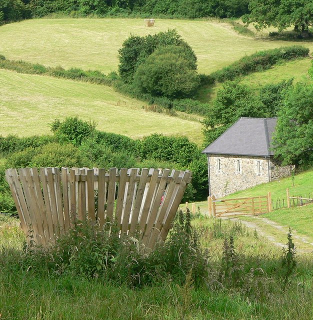
Visitors to Down Plantation can take advantage of the designated picnic areas, where they can relax and enjoy the serenity of the surroundings. Additionally, the forest is equipped with information boards, providing educational insights into the local flora and fauna, as well as the history and conservation efforts in the area.
Overall, Down Plantation is a captivating woodland that offers a tranquil escape from the hustle and bustle of everyday life. Its natural beauty, diverse wildlife, and well-maintained trails make it an ideal destination for nature enthusiasts and those seeking a peaceful retreat in the heart of Devon.
If you have any feedback on the listing, please let us know in the comments section below.
Down Plantation Images
Images are sourced within 2km of 50.594576/-3.6274226 or Grid Reference SX8478. Thanks to Geograph Open Source API. All images are credited.


Down Plantation is located at Grid Ref: SX8478 (Lat: 50.594576, Lng: -3.6274226)
Administrative County: Devon
District: Teignbridge
Police Authority: Devon and Cornwall
What 3 Words
///grapevine.tiling.craziest. Near Chudleigh Knighton, Devon
Related Wikis

Stokelake
Stokelake Residential School was in Chudleigh, South Devon. It was classed as the senior school of Pitt House School Ltd and the chairman was Mr. M. C...
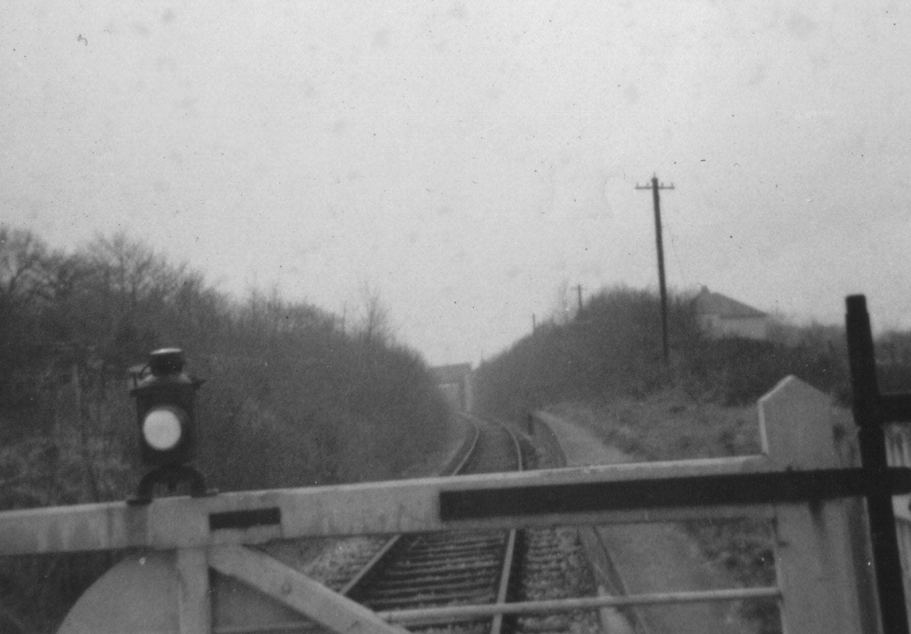
Chudleigh railway station
Chudleigh railway station was a railway station in Chudleigh, a small town in Devon, England located between the towns of Newton Abbot and Exeter. The...
Chudleigh Knighton
Chudleigh Knighton is a small village in Devon, England, near to Newton Abbot and Bovey Tracey. == Amenities == Chudleigh Knighton Church of England Primary...

Teignbridge
Teignbridge is a local government district in Devon, England. Its council is based in the town of Newton Abbot. The district also includes the towns of...
Chudleigh Knighton Halt railway station
Chudleigh Knighton Halt was on the Teign Valley Line serving the small village of Chudleigh Knighton, Devon, England. The halt, built by the Great Western...
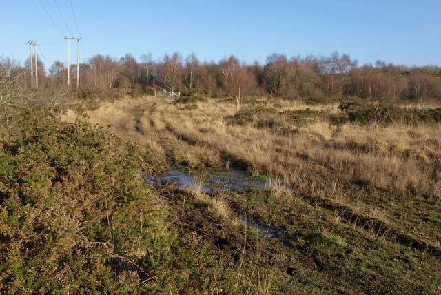
Chudleigh Knighton Heath
Chudleigh Knighton Heath, near Chudleigh Knighton, Devon is a Site of Special Scientific Interest, so designated because of its rare lowland heath vegetation...
Chudleigh Cavern
Chudleigh Cavern is a limestone cave outside the town of Chudleigh in Devon, England. The cave is deep and contains stalactites. A small part is open to...
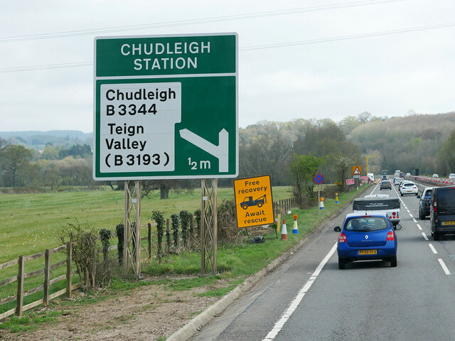
Chudleigh
Chudleigh () is an ancient wool town located within the Teignbridge District Council area of Devon, England between Newton Abbot and Exeter. The electoral...
Nearby Amenities
Located within 500m of 50.594576,-3.6274226Have you been to Down Plantation?
Leave your review of Down Plantation below (or comments, questions and feedback).