Holly Plantation
Wood, Forest in Devon Teignbridge
England
Holly Plantation
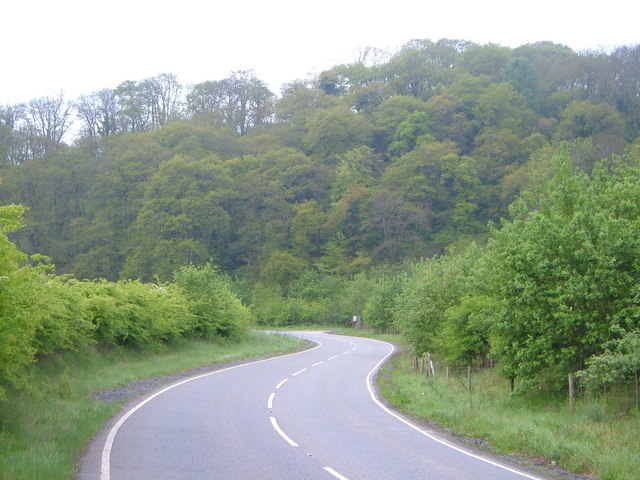
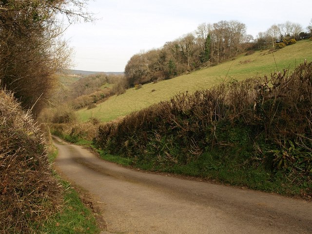
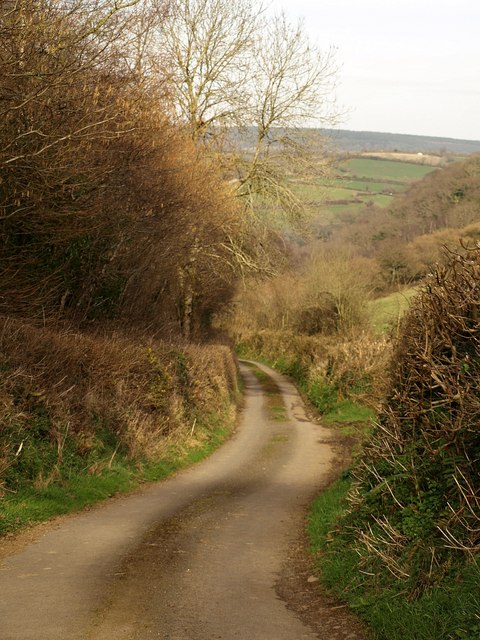
Holly Plantation is a picturesque woodland located in Devon, England. Covering an area of approximately 100 acres, this enchanting forest is renowned for its dense population of holly trees, which lend the plantation its name. With its unique blend of natural beauty and historical significance, Holly Plantation attracts both nature enthusiasts and history buffs alike.
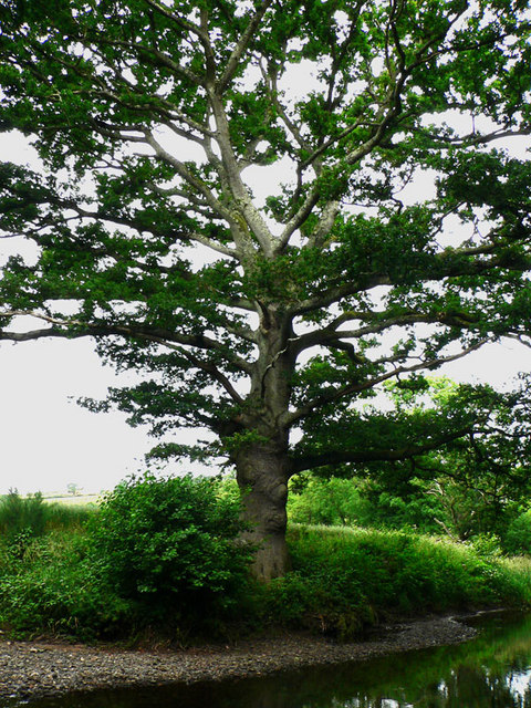
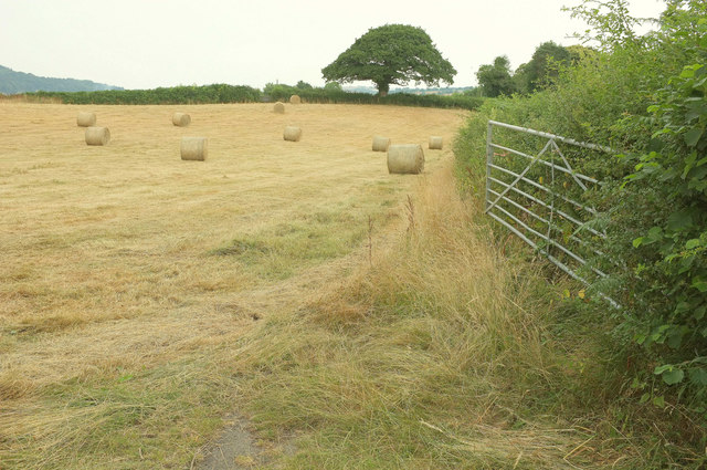
The woodland boasts a diverse range of flora and fauna, creating a thriving ecosystem. Apart from the abundance of holly trees, visitors can also admire other species such as oak, beech, and birch trees. The forest floor is carpeted with a vibrant array of wildflowers, further enhancing the beauty of this tranquil setting. The plantation is particularly stunning during the winter months when the holly trees are adorned with their bright red berries, adding a splash of color to the landscape.
In addition to its natural allure, Holly Plantation has a rich historical background. It is believed to have been a site of human settlement dating back to the Bronze Age, with evidence of ancient earthworks and burial mounds. The plantation also played a significant role during the Medieval period, serving as a hunting ground for nobility.
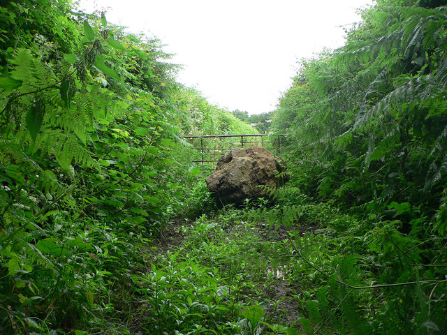
Today, Holly Plantation offers a range of recreational activities for visitors to enjoy. There are well-maintained walking trails that wind through the forest, providing opportunities for peaceful strolls and birdwatching. The plantation is also a popular spot for picnics and photography, with numerous scenic viewpoints scattered throughout the woodland.
Overall, Holly Plantation remains a cherished natural and historical gem in Devon, providing a sanctuary for both wildlife and those seeking a serene escape into nature.
If you have any feedback on the listing, please let us know in the comments section below.
Holly Plantation Images
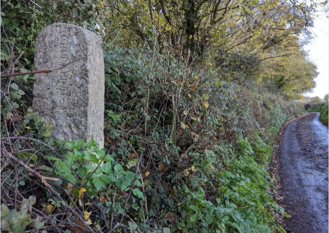
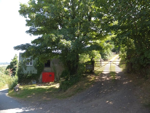
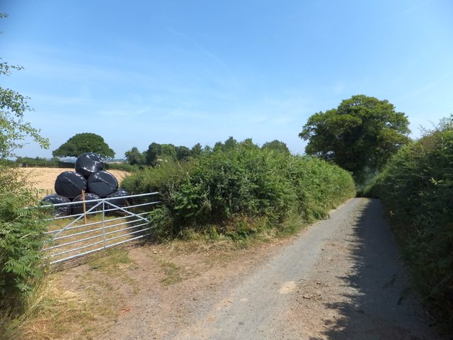
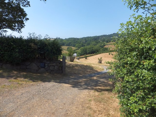
Images are sourced within 2km of 50.596527/-3.6281258 or Grid Reference SX8478. Thanks to Geograph Open Source API. All images are credited.


Holly Plantation is located at Grid Ref: SX8478 (Lat: 50.596527, Lng: -3.6281258)
Administrative County: Devon
District: Teignbridge
Police Authority: Devon and Cornwall
What 3 Words
///magma.deferring.steeped. Near Chudleigh Knighton, Devon
Related Wikis

Stokelake
Stokelake Residential School was in Chudleigh, South Devon. It was classed as the senior school of Pitt House School Ltd and the chairman was Mr. M. C...
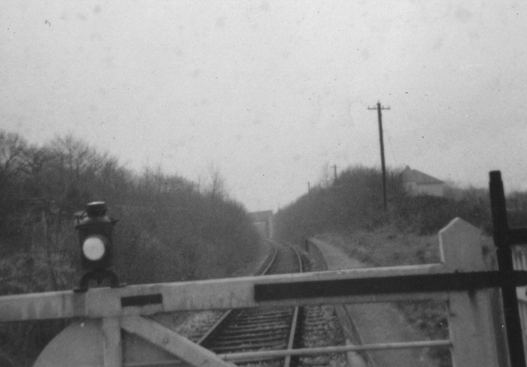
Chudleigh railway station
Chudleigh railway station was a railway station in Chudleigh, a small town in Devon, England located between the towns of Newton Abbot and Exeter. The...
Chudleigh Knighton
Chudleigh Knighton is a small village in Devon, England, near to Newton Abbot and Bovey Tracey. == Amenities == Chudleigh Knighton Church of England Primary...
Chudleigh Cavern
Chudleigh Cavern is a limestone cave outside the town of Chudleigh in Devon, England. The cave is deep and contains stalactites. A small part is open to...
Nearby Amenities
Located within 500m of 50.596527,-3.6281258Have you been to Holly Plantation?
Leave your review of Holly Plantation below (or comments, questions and feedback).