Vicarage Wood

Wood, Forest in Devon North Devon

England

Vicarage Wood

Partridge Arms Farm Formerly an inn, now an excellent B&B on the edge of Exmoor
Partridge Arms Farm Credit: John Phillips

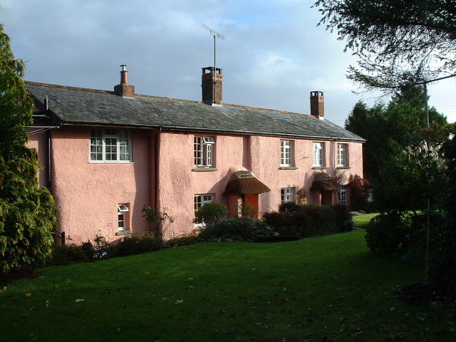
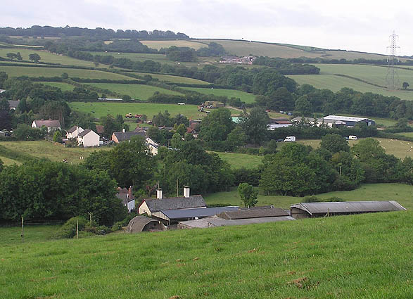
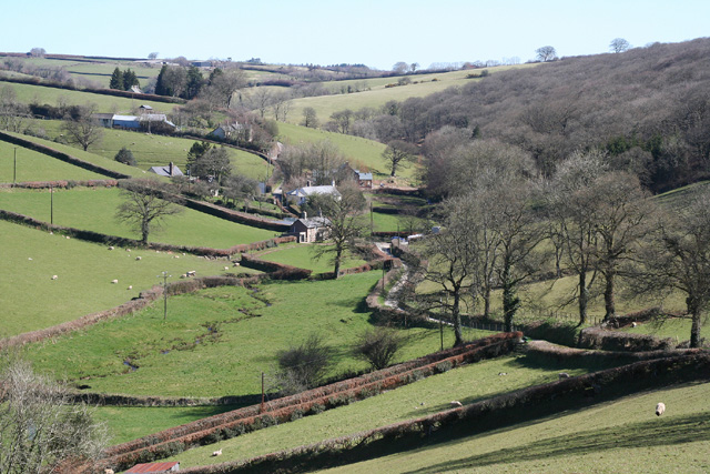
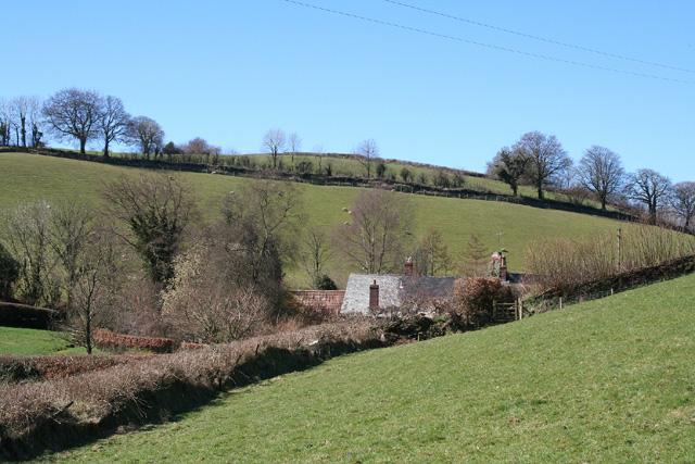
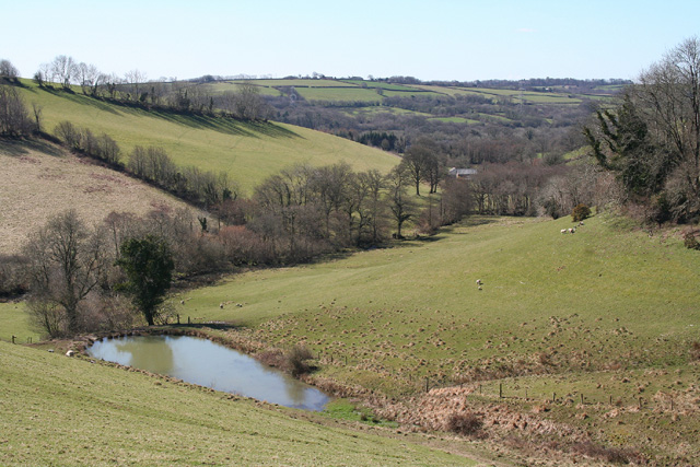
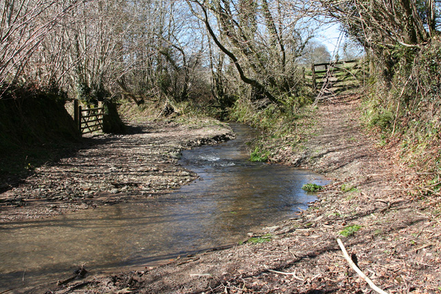
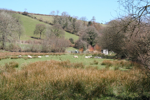
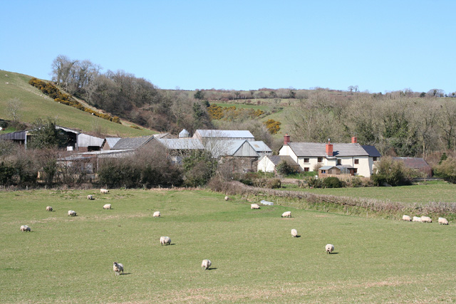
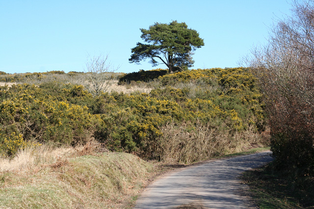
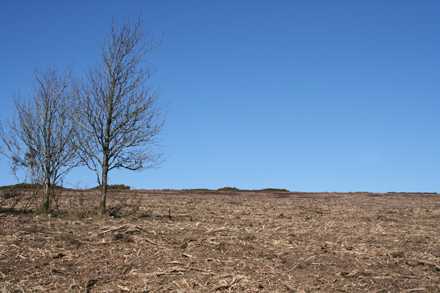
Vicarage Wood is a picturesque woodland located in the county of Devon, England. Situated in the heart of the countryside, it covers an area of approximately 50 acres and is known for its diverse range of trees and wildlife.

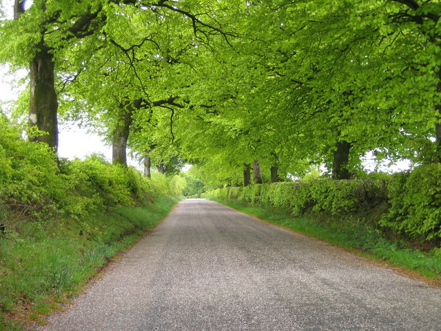
The wood is primarily composed of broadleaf trees, including oak, beech, and ash, which create a dense canopy, providing shelter and habitat for various species. The forest floor is covered with a rich carpet of ferns, bluebells, and other wildflowers, adding to the natural beauty of the area.

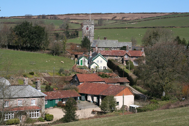
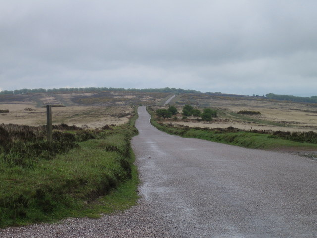
Vicarage Wood is a popular destination for nature enthusiasts and walkers, offering numerous trails and paths that wind through the forest. These pathways allow visitors to explore the woodland and enjoy its tranquil atmosphere. Additionally, there are designated picnic areas and benches for those who wish to relax and take in the surroundings.

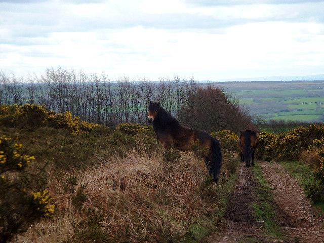
The wood is also home to a diverse range of wildlife, including birds, squirrels, and deer. Birdwatchers can spot species such as woodpeckers, nuthatches, and owls, while animal lovers may be fortunate enough to catch a glimpse of a shy deer or a playful squirrel.

Managed by the local authorities, Vicarage Wood is well-maintained and offers a peaceful escape from the hustle and bustle of daily life. It provides an opportunity for visitors to connect with nature and enjoy the beauty of the Devon countryside.

If you have any feedback on the listing, please let us know in the comments section below.

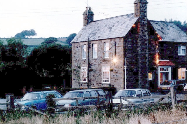
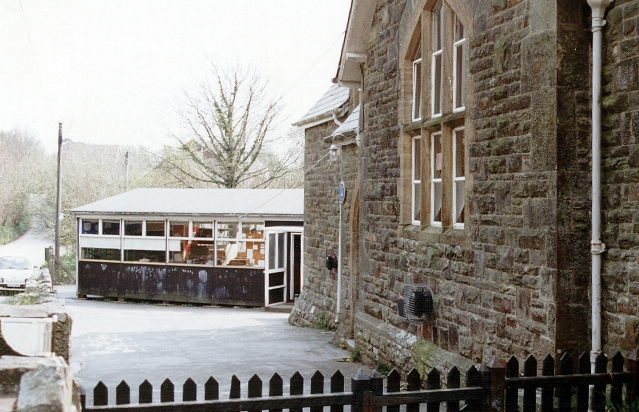
Vicarage Wood Images

Images are sourced within 2km of 51.034797/-3.6440264 or Grid Reference SS8427. Thanks to Geograph Open Source API. All images are credited.

Partridge Arms Farm Formerly an inn, now an excellent B&B on the edge of Exmoor
Partridge Arms Farm
Formerly an inn, now an excellent B&B on the edge of Exmoor
Exmoor ponies on Woodland Common Near Badlake Moor Cross
Exmoor ponies on Woodland Common
Near Badlake Moor Cross
IIMW sculpture by Peter Randall Page See also Granite Song in <a href="https://www.geograph.org.uk/gridref/SX7189">SX7189</a>
IIMW sculpture by Peter Randall Page
See also Granite Song in SX7189
Yeo Mills looking SW across the valley
East Anstey: Waddicombe Looking north east from the start of a bridleway to Badlake Farm. There is some evidence for a medieval watermill at Waddicombe
East Anstey: Waddicombe
Looking north east from the start of a bridleway to Badlake Farm. There is some evidence for a medieval watermill at Waddicombe
East Anstey: approaching Oak Farm Looking west-south-west on a bridleway from Waddicombe to Dunsley
East Anstey: approaching Oak Farm
Looking west-south-west on a bridleway from Waddicombe to Dunsley
West Anstey: village Looking north from the Two Moors Way
West Anstey: village
Looking north from the Two Moors Way
West Anstey: churchyard The present church was dedicated in November 1319 and was heavily restored in 1880. It is now St Petrock’s but may have been dedicated to the Holy Trinity in the 14th century. A Norman font survives from an earlier church
West Anstey: churchyard
The present church was dedicated in November 1319 and was heavily restored in 1880. It is now St Petrock’s but may have been dedicated to the Holy Trinity in the 14th century. A Norman font survives from an earlier church
West Anstey: towards Dunsley Mill Looking south west from the bridleway below Badlake Farm
West Anstey: towards Dunsley Mill
Looking south west from the bridleway below Badlake Farm
East Anstey: ford on bridleway Looking west-south-west on bridleway from Waddicombe to Dunsley
East Anstey: ford on bridleway
Looking west-south-west on bridleway from Waddicombe to Dunsley
West Anstey: near Dunsley Looking north towards Dunsley Mill. The Two Moors Way runs by the hedgeline on the skyline on the left, towards West Anstey village
West Anstey: near Dunsley
Looking north towards Dunsley Mill. The Two Moors Way runs by the hedgeline on the skyline on the left, towards West Anstey village
West Anstey: Slade Seen from Balls Corner, looking north east
West Anstey: Slade
Seen from Balls Corner, looking north east
West Anstey: near Woodland Common Looking east
West Anstey: near Woodland Common
Looking east
West Anstey: Woodland Common The common has recently stripped of gorse. Looking north east from a point above Woodland Farm
West Anstey: Woodland Common
The common has recently stripped of gorse. Looking north east from a point above Woodland Farm
West Anstey Common The Ridge Road over West Anstey Common.
West Anstey Common
The Ridge Road over West Anstey Common.
Spring Beeches Beech trees lining the road on Twitchen Common.
Spring Beeches
Beech trees lining the road on Twitchen Common.
East Anstey - The Froude Arms Now closed and a private residence.
East Anstey - The Froude Arms
Now closed and a private residence.
East Anstey School A cold morning!
East Anstey School
A cold morning!
Show me another place!

Vicarage Wood is located at Grid Ref: SS8427 (Lat: 51.034797, Lng: -3.6440264)

Administrative County: Devon

District: North Devon

Police Authority: Devon and Cornwall

What 3 Words

///waddle.spud.conducted. Near Dulverton, Somerset

Related Wikis

West Anstey

West Anstey is a village and civil parish on the River Yeo, about 5 miles west of Dulverton, in the North Devon district, in the county of Devon, England...

Oldways End

Oldways End is a hamlet in the civil parish of East Anstey in the North Devon district of Devon, England. Its nearest town is Tiverton, which lies approximately...

East Anstey

East Anstey is a village and civil parish in the North Devon district of Devon, England. The parish is located in an area which has been designated as...

Church of St Giles, Hawkridge

The Anglican Church of St Giles in Hawkridge, Somerset, England was built in the 14th century. It is a Grade II* listed building. == History == The oldest...

Nearby Amenities

Located within 500m of 51.034797,-3.6440264
West Anstey
Place: village
Source: OS_OpenData_StreetView
Lat/Long: 51.0350117/-3.6381491
Post Box
Collection Times: Mo-Fr 09:00; Sa 07:00
Operator: Royal Mail
Operator Wikidata: Q638098
Post Box Type: wall
Ref: EX36 211
Royal Cypher: GR
Royal Cypher Wikidata: Q33102273
Lat/Long: 51.0342293/-3.6382757
The data included in this document is from www.openstreetmap.org. The data is made available under ODbL.

Have you been to Vicarage Wood?

Leave your review of Vicarage Wood below (or comments, questions and feedback).