Rodhill Plantation

Wood, Forest in Somerset Somerset West and Taunton

England

Rodhill Plantation

North Devon : Pebble Beach Around 30 or so minutes after a low spring tide on a square which is soon to go underwater. Had to step on the few remaining rocks to remain dry to get here.
North Devon : Pebble Beach Credit: Lewis Clarke

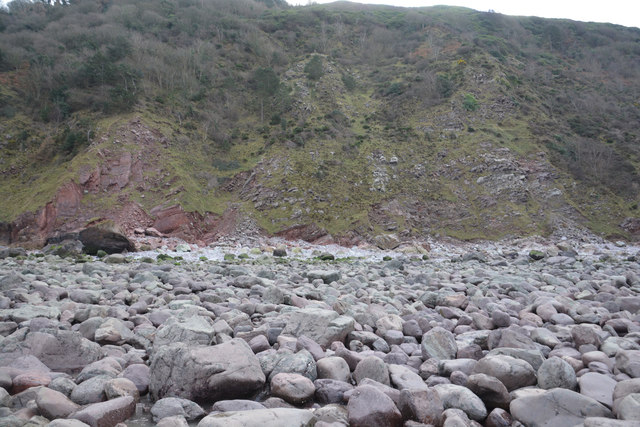
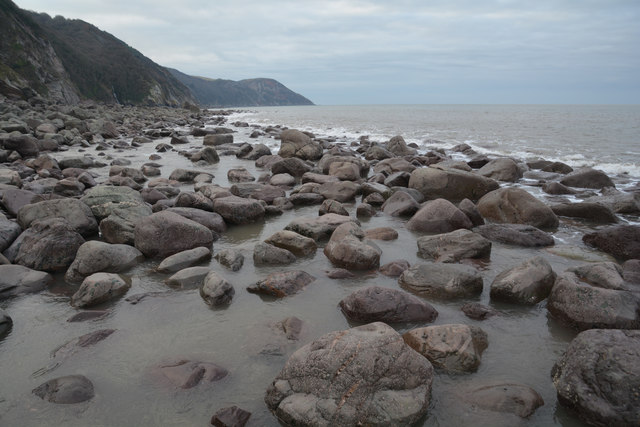
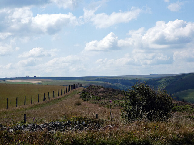
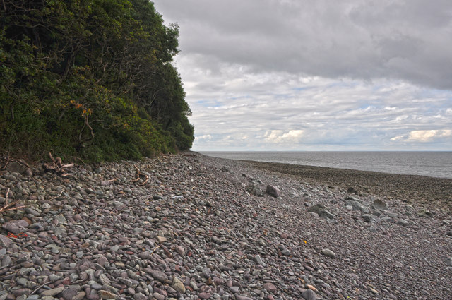
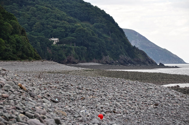
Rodhill Plantation is a scenic woodland located in Somerset, England. Spread across a vast area, this plantation is known for its diverse flora and fauna, making it a popular destination for nature enthusiasts and hikers.

The plantation is primarily composed of deciduous trees, including oak, beech, and ash, which provide a stunning display of colors during the autumn months. There are also coniferous trees such as pine and spruce, adding to the plantation's visual appeal year-round. The dense canopy created by these trees provides a cool and shaded environment, perfect for leisurely walks or picnics on hot summer days.

Rodhill Plantation is home to a variety of wildlife species, making it an ideal spot for birdwatching and animal spotting. Visitors may come across woodland creatures such as deer, rabbits, foxes, and squirrels as they explore the trails. Bird enthusiasts can observe a range of species, including woodpeckers, owls, and various songbirds.

The plantation offers numerous walking trails, ranging from easy strolls to more challenging hikes. Visitors can enjoy the tranquility of the woodlands, taking in the natural beauty and breathing in the fresh air. The paths are well-maintained and clearly marked, ensuring a safe and enjoyable experience for all.

With its idyllic setting and natural charm, Rodhill Plantation is a cherished gem in Somerset. Whether it's for a peaceful retreat, an adventurous hike, or simply an appreciation of nature's wonders, this woodland sanctuary offers something for everyone to enjoy.

If you have any feedback on the listing, please let us know in the comments section below.

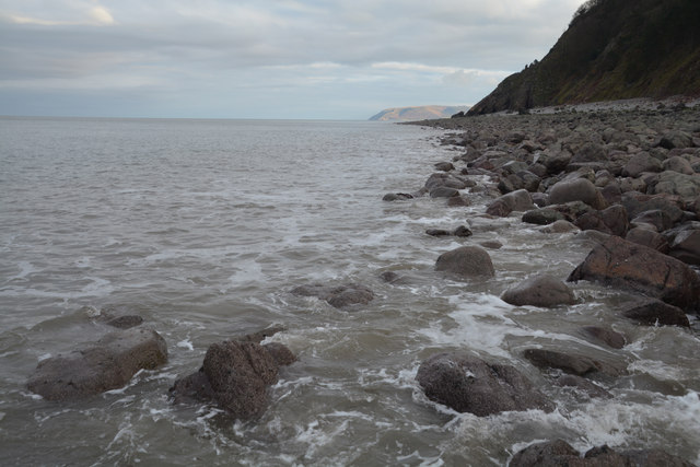
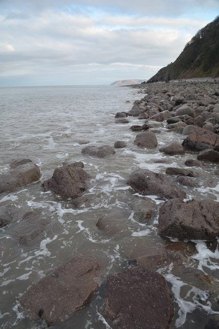
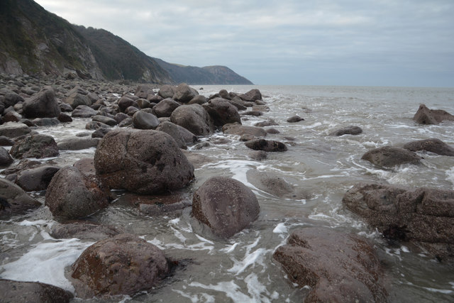
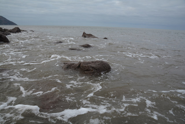
Rodhill Plantation Images

Images are sourced within 2km of 51.226217/-3.7142855 or Grid Reference SS8048. Thanks to Geograph Open Source API. All images are credited.

North Devon : Pebble Beach Around 30 or so minutes after a low spring tide on a square which is soon to go underwater. Had to step on the few remaining rocks to remain dry to get here.
North Devon : Pebble Beach
Around 30 or so minutes after a low spring tide on a square which is soon to go underwater. Had to step on the few remaining rocks to remain dry to get here.
North Devon : Pebble Beach Looking back along the pebble beach towards the cliff.
North Devon : Pebble Beach
Looking back along the pebble beach towards the cliff.
North Devon : Pebble Beach Looking along the pebble coastline at low tide.
North Devon : Pebble Beach
Looking along the pebble coastline at low tide.
North Devon : Pebble Beach Looking out to the Bristol Channel from the pebble coastline.
North Devon : Pebble Beach
Looking out to the Bristol Channel from the pebble coastline.
Somerset border sign on the A39 east
East Lyn river valley from County Gate
West Somerset : Pebble Beach Below the woodland and cliff is this hard to get to bit of coastline.
West Somerset : Pebble Beach
Below the woodland and cliff is this hard to get to bit of coastline.
West Somerset : Coastal Scenery Looking along the pebbly, rocky and difficult to walk on coastline.
West Somerset : Coastal Scenery
Looking along the pebbly, rocky and difficult to walk on coastline.
West Somerset : Rocky Beach Rocks and pebbles on the coastline of West Somerset.
West Somerset : Rocky Beach
Rocks and pebbles on the coastline of West Somerset.
West Somerset : Pebble Beach Looking out across a pebbly and rocky beach.
West Somerset : Pebble Beach
Looking out across a pebbly and rocky beach.
West Somerset : Bristol Channel Looking across to Nash Point and the lighthouse. Doesn't look far, but a whole two hour drive away.
West Somerset : Bristol Channel
Looking across to Nash Point and the lighthouse. Doesn't look far, but a whole two hour drive away.
West Somerset : Coastal Scenery Looking out across the pebble beach near Embelle Wood.
West Somerset : Coastal Scenery
Looking out across the pebble beach near Embelle Wood.
West Somerset : Bristol Channel Looking out across the Bristol Channel towards South Wales.
West Somerset : Bristol Channel
Looking out across the Bristol Channel towards South Wales.
West Somerset : Bristol Channel Looking towards South Wales from the West Somerset coastline.
West Somerset : Bristol Channel
Looking towards South Wales from the West Somerset coastline.
West Somerset : Embelle Wood Beach Looking across the coastline along Embelle Wood Beach.
West Somerset : Embelle Wood Beach
Looking across the coastline along Embelle Wood Beach.
Show me another place!

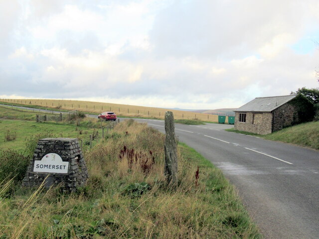
Rodhill Plantation is located at Grid Ref: SS8048 (Lat: 51.226217, Lng: -3.7142855)

Administrative County: Somerset

District: Somerset West and Taunton

Police Authority: Avon and Somerset

What 3 Words

///slower.nutty.bulky. Near Porlock, Somerset

Related Wikis

Glenthorne

Glenthorne (grid reference SS800497) is a 13.3 hectare geological Site of Special Scientific Interest in the parish of Oare within the Exmoor National...

East Lyn Valley

East Lyn Valley is a valley of Exmoor, covering northern Devon and western Somerset, England. The East Lyn River is formed from several main tributaries...

Oare Water

Oare Water passes through the village of Oare, on Exmoor in Somerset, England. It joins Badgworthy Water before flowing to Watersmeet and the Bristol Channel...

Badgworthy Water

Badgworthy Water is a small river which flows through Malmsmead on Exmoor, close to the border between Devon and Somerset, England. It merges with Oare...

Nearby Amenities

Located within 500m of 51.226217,-3.7142855
Sugarloaf Hill
Ele: 264
Natural: peak
Source: OS 1:25k
Lat/Long: 51.2285747/-3.7122044
Hiking: yes
Information: guidepost
Tourism: information
Lat/Long: 51.2297805/-3.7115044
Ford: yes
Lat/Long: 51.2294245/-3.7163181
Power: pole
Source: bing
Lat/Long: 51.2246648/-3.7176543
Power: pole
Source: bing
Lat/Long: 51.223835/-3.7179521
Power: pole
Source: bing
Lat/Long: 51.2253476/-3.7173821
Power: pole
Source: bing
Lat/Long: 51.2259641/-3.7170482
Power: pole
Source: bing
Lat/Long: 51.2260271/-3.7157996
Power: pole
Source: bing
Lat/Long: 51.2260615/-3.7149346
Power: pole
Source: bing
Lat/Long: 51.2261128/-3.7135895
Power: pole
Source: bing
Lat/Long: 51.2261531/-3.7125152
Power: pole
Source: bing
Lat/Long: 51.2262093/-3.7110923
Power: pole
Source: bing
Lat/Long: 51.2262354/-3.710344
Power: pole
Source: bing
Lat/Long: 51.2257163/-3.7095594
Power: pole
Source: bing
Lat/Long: 51.2250957/-3.7086032
Power: pole
Source: bing
Lat/Long: 51.2245615/-3.7077865
The data included in this document is from www.openstreetmap.org. The data is made available under ODbL.

Have you been to Rodhill Plantation?

Leave your review of Rodhill Plantation below (or comments, questions and feedback).