Harestreet Plantation
Wood, Forest in Devon Mid Devon
England
Harestreet Plantation
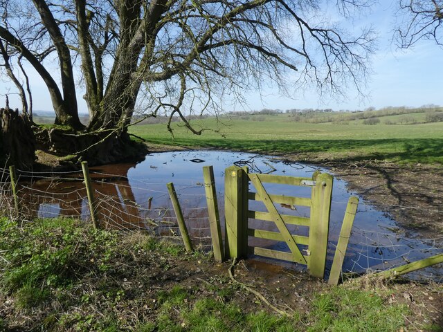
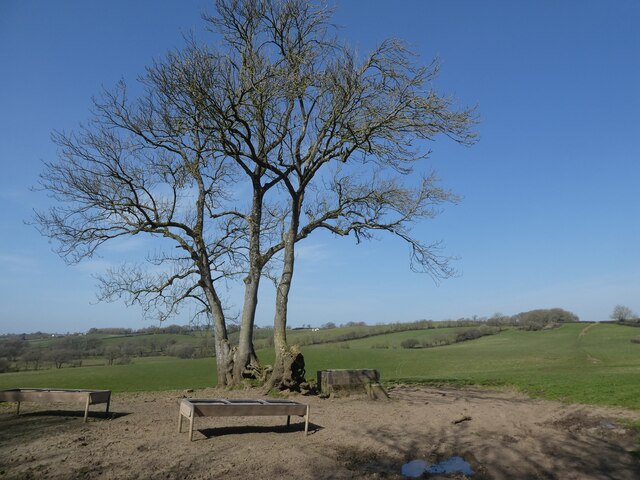
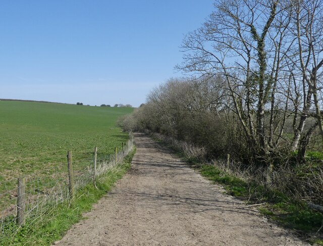
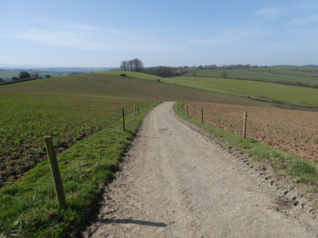
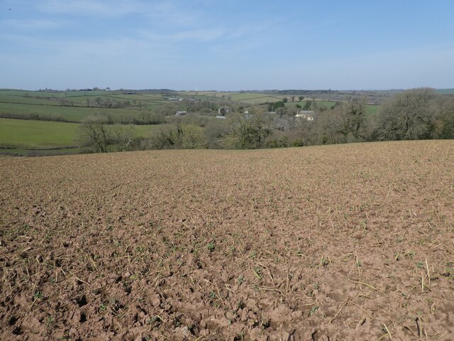
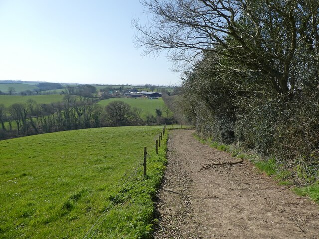
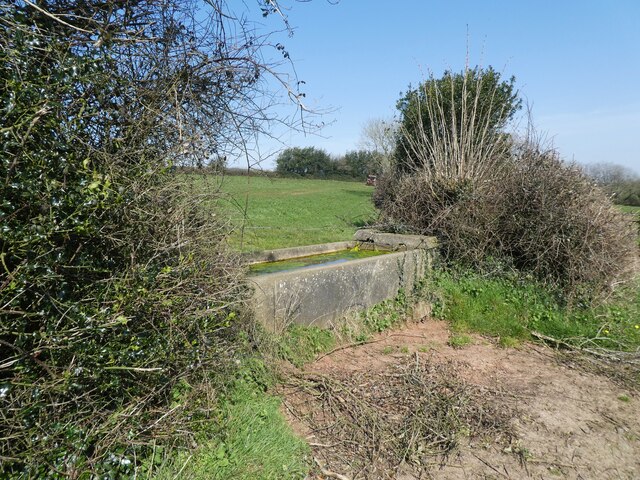
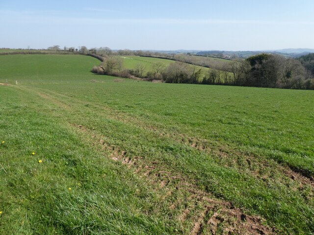
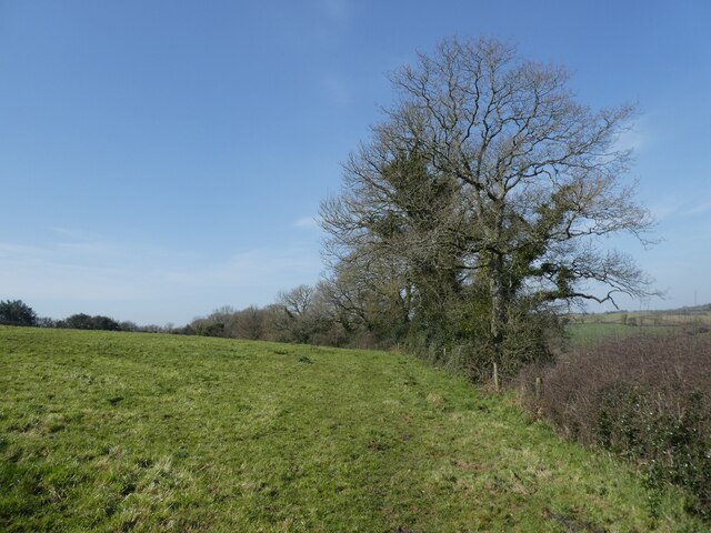
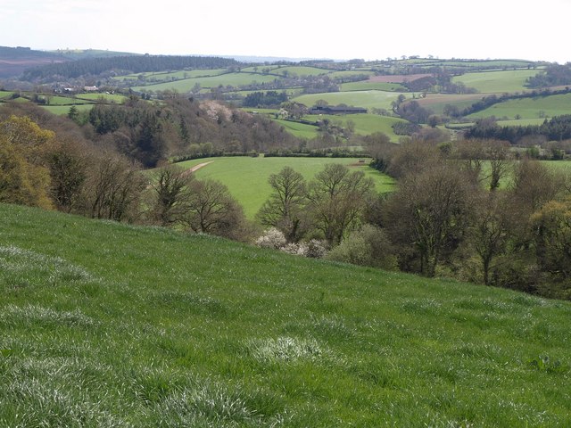
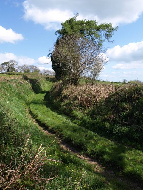
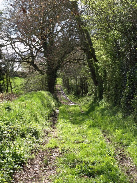
Harestreet Plantation is a charming woodland located in Devon, England. Situated in the heart of the county, this plantation is renowned for its natural beauty and diverse array of plant and animal life. Spanning over a vast area, it serves as a peaceful retreat for nature enthusiasts and a sanctuary for various species.
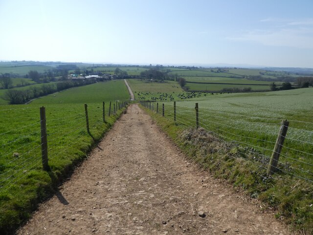
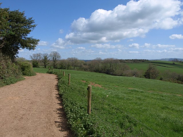
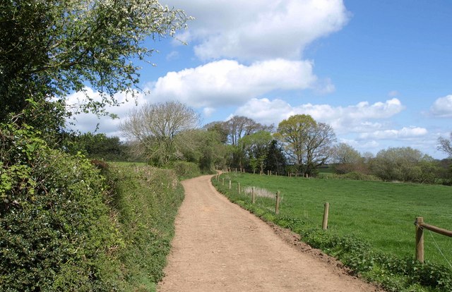
The plantation is predominantly covered with a mixture of broadleaf trees, including oak, beech, and birch, which form a dense and vibrant canopy overhead. This creates a cool and shaded environment, perfect for leisurely walks or picnics on hot summer days. Visitors can meander along the well-maintained trails, which wind through the plantation, providing opportunities to explore and discover the hidden gems within.
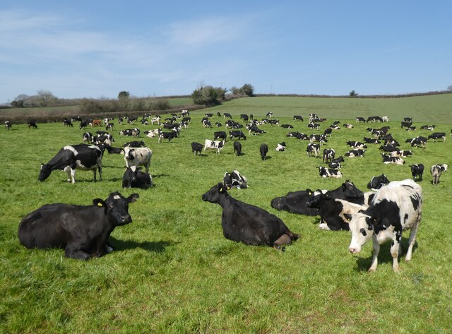
One of the highlights of Harestreet Plantation is its abundant wildlife. The woodland is home to a variety of animals, including deer, foxes, badgers, and an array of bird species. Birdwatchers flock here to catch a glimpse of the elusive nightjar or the majestic buzzard soaring through the sky. The plantation offers a tranquil setting for birdwatching enthusiasts to observe and appreciate these marvelous creatures in their natural habitat.
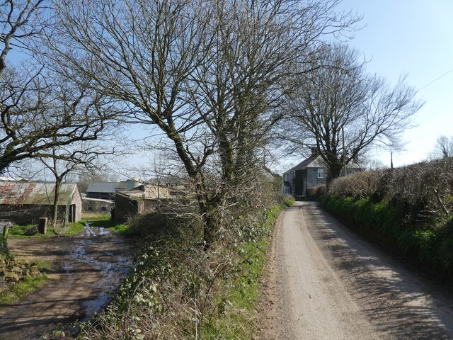
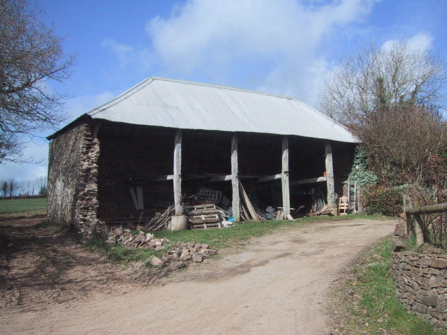
Harestreet Plantation is not only a haven for wildlife but also a place of historical significance. The area has a rich heritage, with remnants of old stone walls and disused mining shafts that tell the story of its past. These historical features add an intriguing dimension to the plantation, allowing visitors to delve into the area's hidden past.
In summary, Harestreet Plantation in Devon is a picturesque woodland retreat that offers visitors a chance to escape the hustle and bustle of everyday life. With its stunning natural beauty, abundant wildlife, and historical significance, it is a must-visit destination for nature lovers and history enthusiasts alike.
If you have any feedback on the listing, please let us know in the comments section below.
Harestreet Plantation Images
Images are sourced within 2km of 50.853468/-3.7005649 or Grid Reference SS8007. Thanks to Geograph Open Source API. All images are credited.
Harestreet Plantation is located at Grid Ref: SS8007 (Lat: 50.853468, Lng: -3.7005649)
Administrative County: Devon
District: Mid Devon
Police Authority: Devon and Cornwall
What 3 Words
///comedians.expires.portfolio. Near Morchard Bishop, Devon
Related Wikis

Berry Castle, Black Dog
Berry Castle is an earthwork probably dating to the Iron Age close to Black Dog in Devon north of Crediton and west of Tiverton. It does not fit the traditional...

Kennerleigh
Kennerleigh is a village and civil parish in Devon, England.The church is dedicated to St John the Baptist, which underwent significant restoration around...
Fordy Wood Copse
Fordy Wood Copse is a woodland in Devon, England, near Sandford. It covers a total area of 0.64 hectares (1.58 acres) and overlooks the River Creedy. It...

Black Dog, Devon
Black Dog is a village in Mid Devon, ten miles west of Tiverton and six miles north of Crediton. The village is on one of the highest ridges of land between...

Woolfardisworthy, Mid Devon
Woolfardisworthy (pronounced "Woolsery") is a village and civil parish in Mid Devon. It is situated about 5 miles (9 km) north of Crediton. According to...

Oldborough
Oldborough is a village in Devon, England. It is near the village of Morchard Bishop. Oldborough has a population of just under 1,000 people. The only...

Morchard Bishop
Morchard Bishop is a village and civil parish in Mid Devon in the English county of Devon. It has a population of 975, and contains a primary school, two...

Puddington, Devon
Puddington is a small village in Mid Devon within the Witheridge hundred. It is approximately nine miles from the town of Tiverton and 8 Miles from Crediton...
Nearby Amenities
Located within 500m of 50.853468,-3.7005649Have you been to Harestreet Plantation?
Leave your review of Harestreet Plantation below (or comments, questions and feedback).