Scotland Copse

Wood, Forest in Devon Mid Devon

England

Scotland Copse

Flooded path at Rolstone Barton
Flooded path at Rolstone Barton Credit: Roger Cornfoot

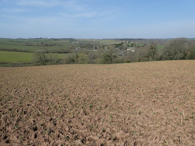
Scotland Copse is a beautiful woodland area located in Devon, England. Covering an area of approximately 20 acres, this copse is a delightful blend of ancient trees, wildlife, and natural beauty. It is situated near the village of Scotland, giving it its unique name.

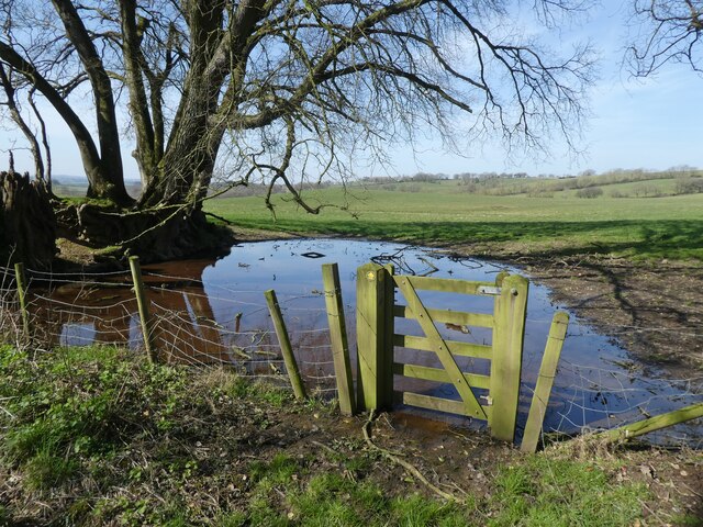
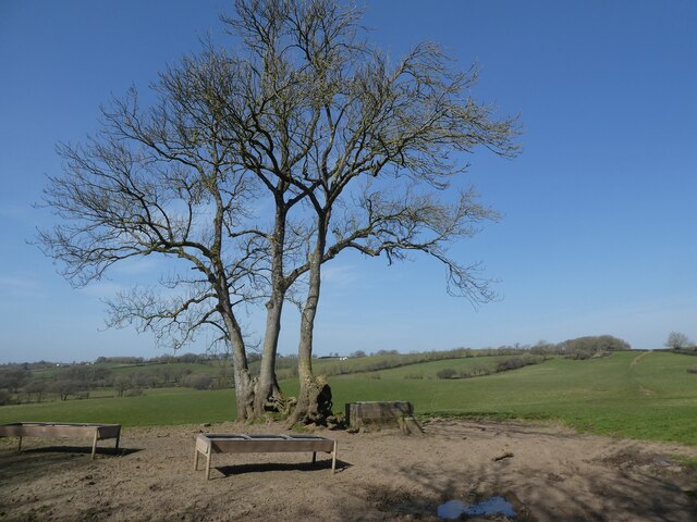
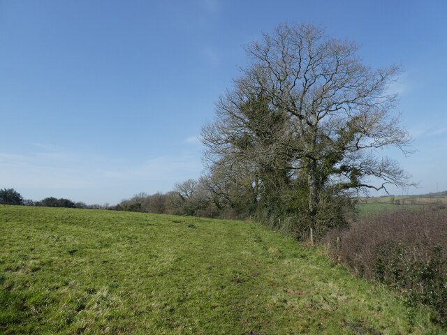
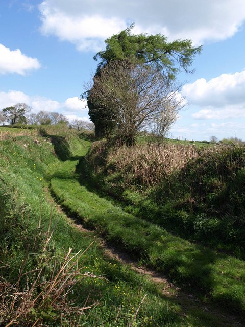
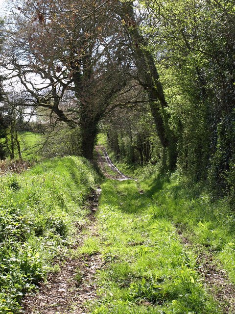
The copse is predominantly composed of deciduous trees such as oak, beech, and ash, which provide a dense canopy that filters sunlight, creating a peaceful and shaded environment. The woodland floor is covered in a thick carpet of moss, ferns, and wildflowers, enhancing the copse's enchanting atmosphere.

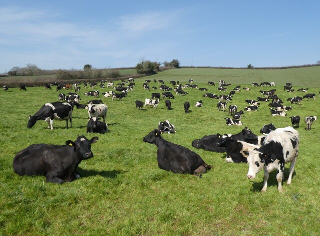
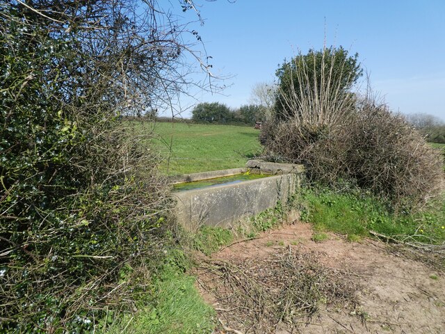
As visitors explore Scotland Copse, they will encounter a variety of wildlife. The copse is home to many bird species, including woodpeckers, owls, and various songbirds. It is also a habitat for small mammals like squirrels, rabbits, and hedgehogs. Nature enthusiasts may even catch sight of the occasional deer or fox.

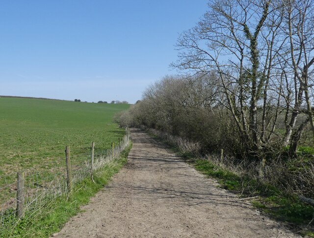
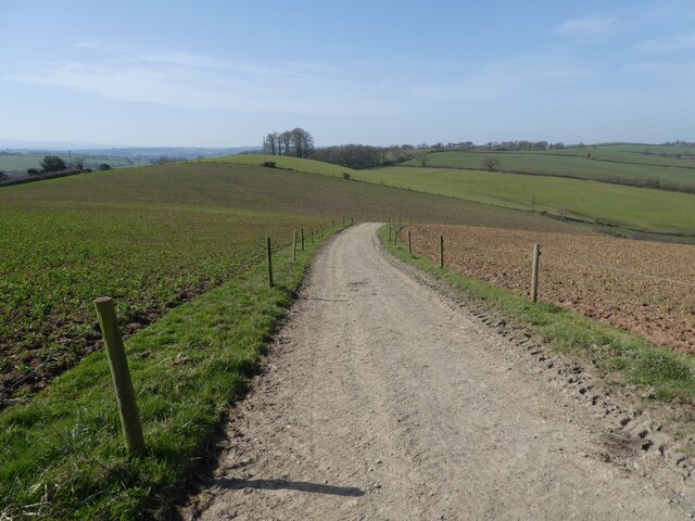
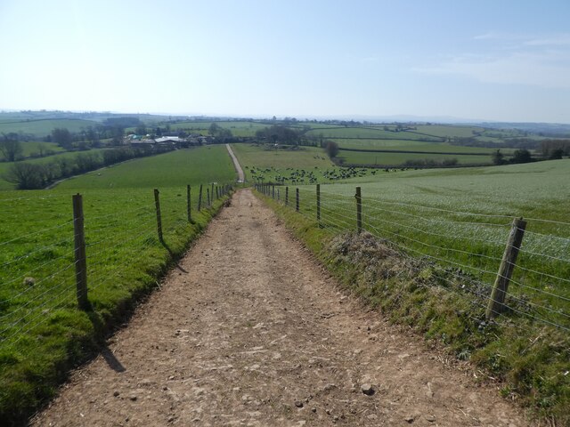
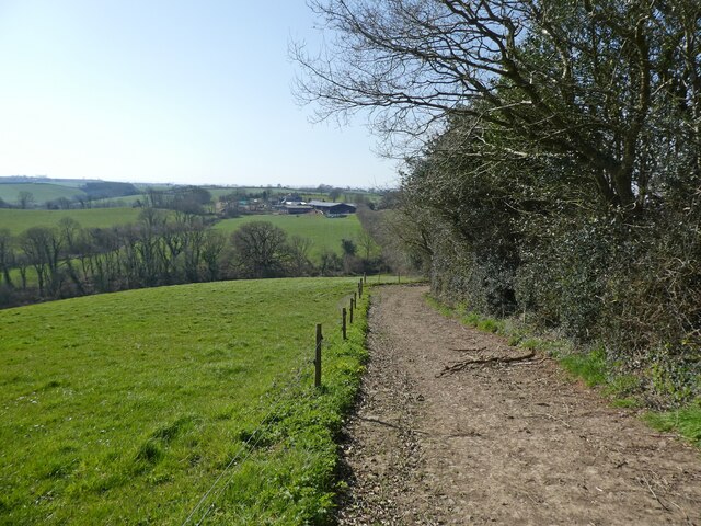
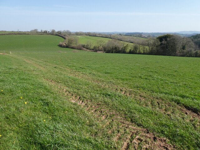
The copse offers several footpaths and trails, allowing visitors to immerse themselves in nature and enjoy peaceful walks. These paths wind through the woodland, offering breathtaking views and opportunities for birdwatching and photography. The copse is also a popular spot for picnics and family outings, with designated areas providing benches and picnic tables.

Overall, Scotland Copse is a hidden gem in Devon, offering a tranquil escape from the hustle and bustle of everyday life. Its ancient trees, diverse wildlife, and serene atmosphere make it a place of natural beauty and a haven for both nature lovers and those seeking a peaceful retreat.

If you have any feedback on the listing, please let us know in the comments section below.

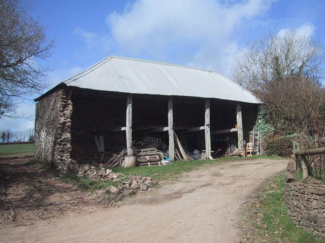
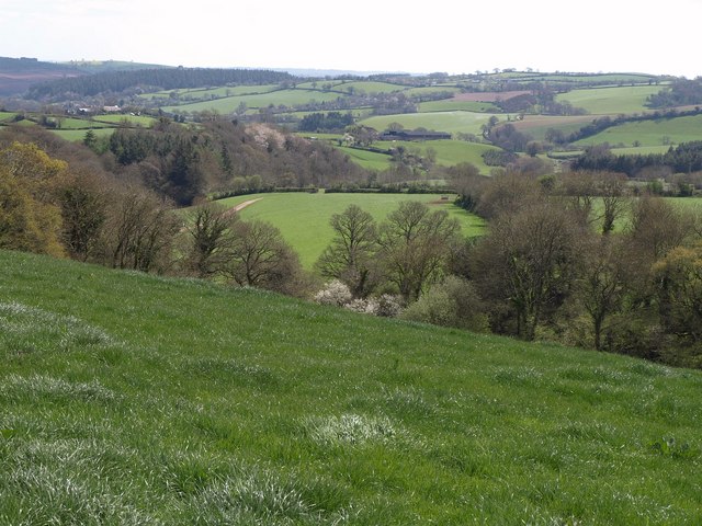
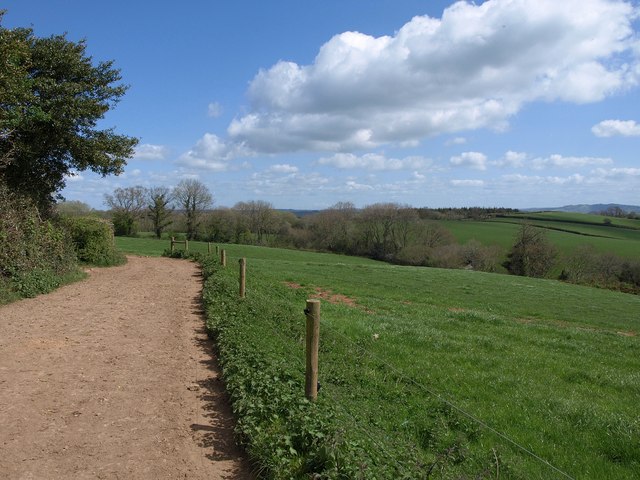
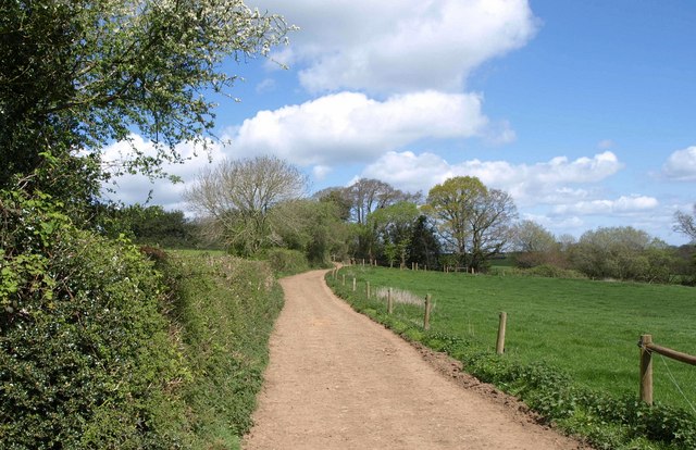
Scotland Copse Images

Images are sourced within 2km of 50.851493/-3.6941427 or Grid Reference SS8007. Thanks to Geograph Open Source API. All images are credited.

Flooded path at Rolstone Barton
Looking west, from Rolstone Barton
Track to 'Scotland' Well, I suppose, that if you keep walking in this direction.....
Track to 'Scotland'
Well, I suppose, that if you keep walking in this direction.....
Track to Moor Farm
Track to Moor Farm
Moor Farm
Moor Farm
Track to Rolstone Barton
Dairy herd at Rolstone Barton
Rolstone Barton
Rolstone Barton
Track to Rolstone Barton
Cattle trough, above Rolstone Barton
Path down to Swannaton Lane
North Brake Plantation
Barn at South Emlett
Fields, Swannaton A view from Morchard Bishop Footpath 38 as it briefly crosses the northwest corner of the square, looking down the Pidsley valley.
Fields, Swannaton
A view from Morchard Bishop Footpath 38 as it briefly crosses the northwest corner of the square, looking down the Pidsley valley.
Track to Harestreet Followed by Morchard Bishop Footpath 38, which branches off it in a while to meet Scotland/Swannaton Lane.
Track to Harestreet
Followed by Morchard Bishop Footpath 38, which branches off it in a while to meet Scotland/Swannaton Lane.
Track to Harestreet Taken from the bend shown in <a href="https://www.geograph.org.uk/photo/2364200">SS8006 : Track to Harestreet</a>, carrying Morchard Bishop Footpath 38. A tiny stream emerges in the trees ahead, a headwater of the Pidsley valley stream.
Track to Harestreet
Taken from the bend shown in SS8006 : Track to Harestreet, carrying Morchard Bishop Footpath 38. A tiny stream emerges in the trees ahead, a headwater of the Pidsley valley stream.
Swannaton Lane Although in 2004 it was recommended <span class="nowrap"><a title="http://www.devon.gov.uk/loadtrimdocument?url=&filename=ED/04/118/HQ.CMR&rn=10/WD218&dg=Public" rel="nofollow ugc noopener" href="http://www.devon.gov.uk/loadtrimdocument?url=&filename=ED/04/118/HQ.CMR&rn=10/WD218&dg=Public">Link</a><img style="margin-left:2px;" alt="External link" title="External link - shift click to open in new window" src="https://s1.geograph.org.uk/img/external.png" width="10" height="10"/></span> that this green lane be classified as a bridleway, and it now appears on the Devon rights of way map as Sandford Restricted Byway 45, the 1:25000 map still doesn't show it as a right of way. It is seen here at the junction with Morchard Bishop Footpath 38.
Swannaton Lane
Although in 2004 it was recommended LinkExternal link that this green lane be classified as a bridleway, and it now appears on the Devon rights of way map as Sandford Restricted Byway 45, the 1:25000 map still doesn't show it as a right of way. It is seen here at the junction with Morchard Bishop Footpath 38.
Swannaton Lane Sandford Restricted Byway 45 follows this green lane around the head of the valley containing Swannaton Wood.
Swannaton Lane
Sandford Restricted Byway 45 follows this green lane around the head of the valley containing Swannaton Wood.
Show me another place!

Scotland Copse is located at Grid Ref: SS8007 (Lat: 50.851493, Lng: -3.6941427)

Administrative County: Devon

District: Mid Devon

Police Authority: Devon and Cornwall

What 3 Words

///tolerates.memory.gaps. Near Morchard Bishop, Devon

Related Wikis

Have you been to Scotland Copse?

Leave your review of Scotland Copse below (or comments, questions and feedback).