Greenclose Wood
Wood, Forest in Somerset Somerset West and Taunton
England
Greenclose Wood
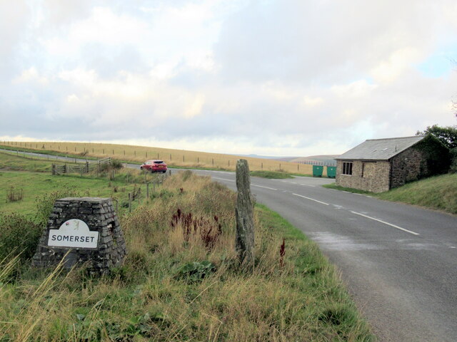
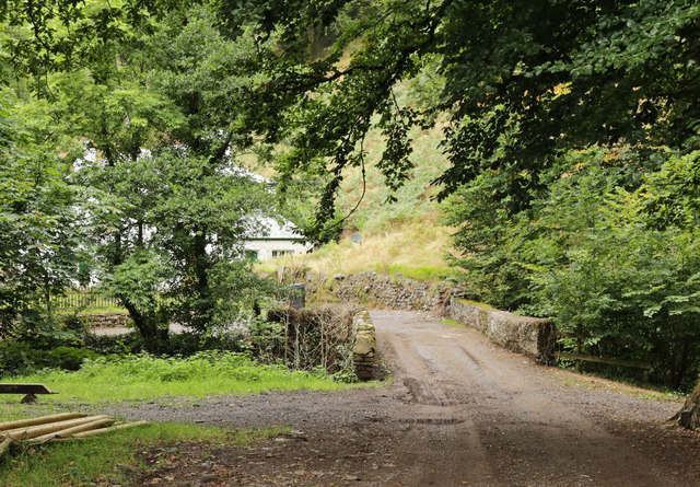
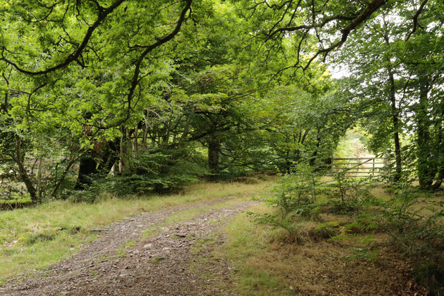
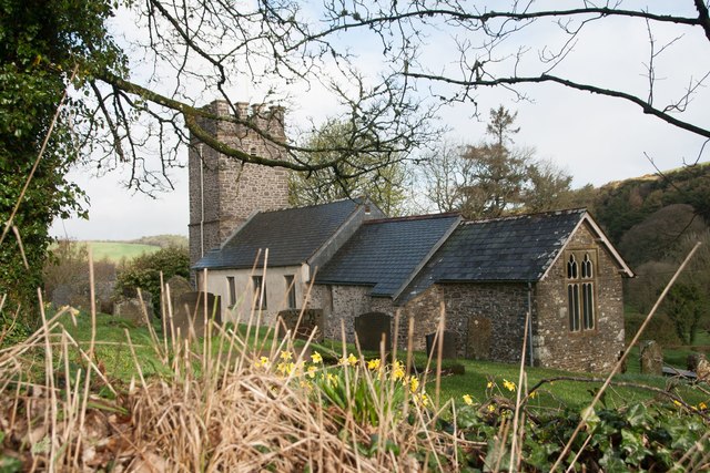
Greenclose Wood is a picturesque woodland located in Somerset, England. Covering an area of approximately 50 acres, it is a popular destination for nature enthusiasts and hikers alike. The wood is situated near the village of Greenclose, nestled within the rolling hills of the Somerset countryside.
The woodland is predominantly composed of native deciduous trees, such as oak, beech, and ash, which provide a rich habitat for a variety of wildlife. Visitors can expect to see an abundance of bird species, including woodpeckers, owls, and songbirds, as well as small mammals like squirrels and hedgehogs. The tranquil atmosphere and diverse flora and fauna make it the perfect place for nature lovers to explore and appreciate the beauty of the natural world.
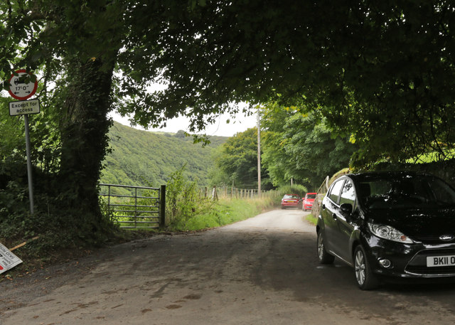
Greenclose Wood is crisscrossed with a network of well-maintained footpaths, allowing visitors to venture deep into the heart of the forest. These paths lead to several scenic viewpoints and clearings, offering panoramic vistas of the surrounding countryside. Additionally, there are picnic areas and benches scattered throughout the wood, providing opportunities for visitors to relax and soak in the peaceful ambiance.
The wood is open to the public year-round, with no admission fee. However, visitors are encouraged to respect the natural environment and take their litter with them when they leave. Greenclose Wood is a cherished local treasure, offering a serene retreat from the hustle and bustle of daily life and an opportunity to reconnect with nature.
If you have any feedback on the listing, please let us know in the comments section below.
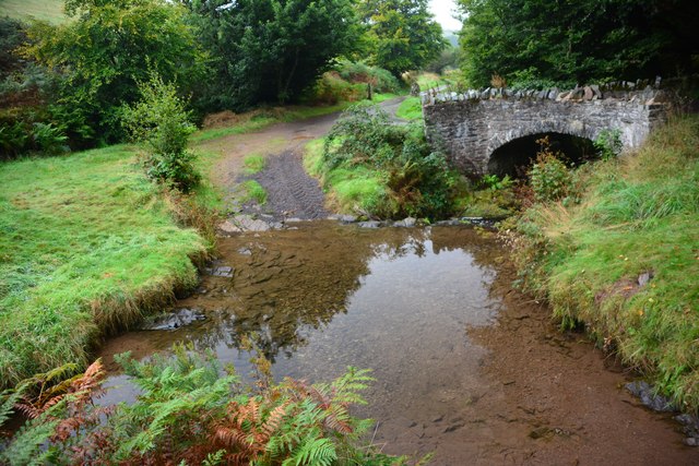
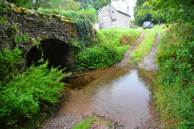
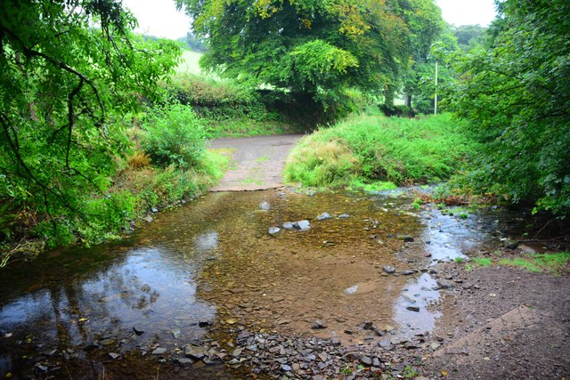
Greenclose Wood Images
Images are sourced within 2km of 51.212161/-3.7074923 or Grid Reference SS8047. Thanks to Geograph Open Source API. All images are credited.

Greenclose Wood is located at Grid Ref: SS8047 (Lat: 51.212161, Lng: -3.7074923)
Administrative County: Somerset
District: Somerset West and Taunton
Police Authority: Avon and Somerset
What 3 Words
///falls.relations.bookcases. Near Porlock, Somerset
Nearby Locations
Related Wikis

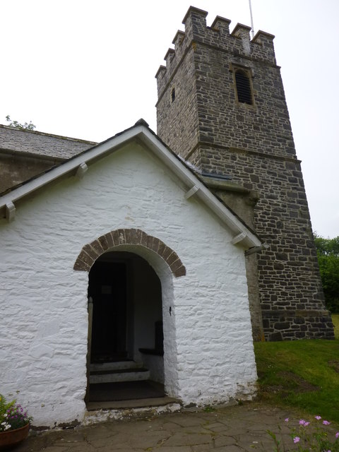
Church of St Mary, Oare
The Anglican Church of St Mary in Oare, Somerset, England, was built in the 15th century. It is a Grade II* listed building. == History == The nave and...

Oare, Somerset
Oare is a village and civil parish on Oare Water on Exmoor in the Somerset West and Taunton district of Somerset, England. It is located 6 miles (10 km...
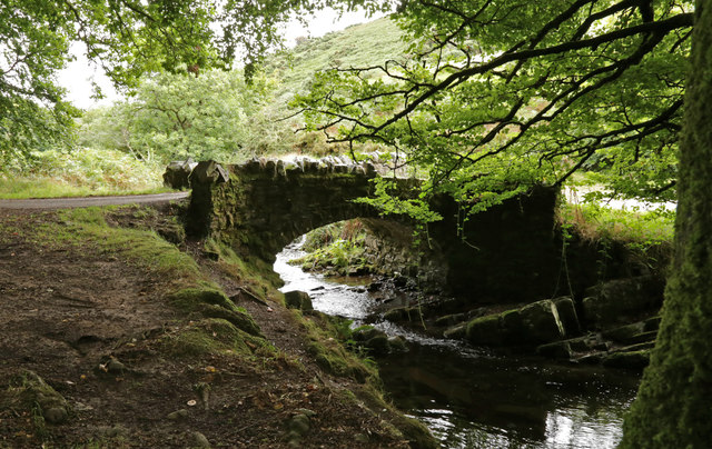
Robber's Bridge
Robber's Bridge, or Robbers Bridge, is an old masonry arch bridge in the royal forest of Exmoor near Doone Valley, carrying the minor road from Porlock...

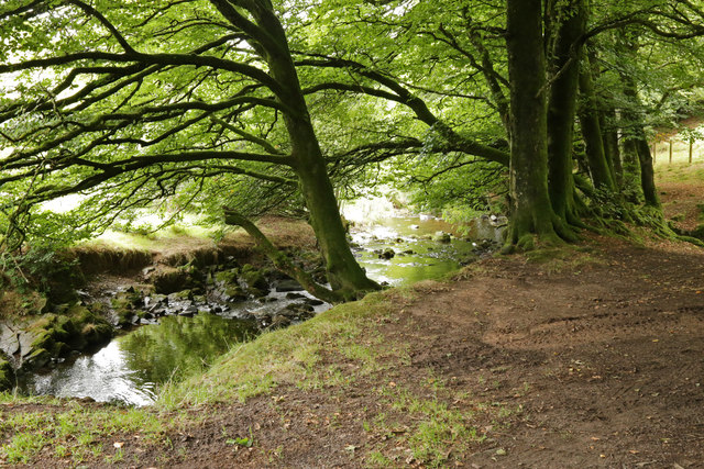
Oare Water
Oare Water passes through the village of Oare, on Exmoor in Somerset, England. It joins Badgworthy Water before flowing to Watersmeet and the Bristol Channel...

Badgworthy Water
Badgworthy Water is a small river which flows through Malmsmead on Exmoor, close to the border between Devon and Somerset, England. It merges with Oare...

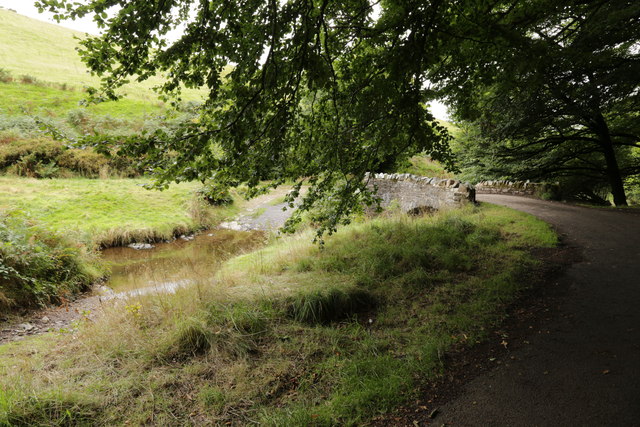
Malmsmead Bridge
Malmsmead Bridge is a 17th-century stone bridge which crosses Badgworthy Water in the hamlet of Malmsmead, on the road between Oare and Brendon. The Badgworthy...
Malmsmead
Malmsmead is a hamlet on the border between the English counties of Devon and Somerset. The nearest town is Lynton, which lies approximately 4.7 miles...

East Lyn Valley
East Lyn Valley is a valley of Exmoor, covering northern Devon and western Somerset, England. The East Lyn River is formed from several main tributaries...
Have you been to Greenclose Wood?
Leave your review of Greenclose Wood below (or comments, questions and feedback).