South Down Wood
Wood, Forest in Devon North Devon
England
South Down Wood

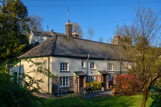
South Down Wood is a picturesque woodland located in the county of Devon in southwestern England. Spanning approximately 100 acres, it is nestled within the stunning South Hams area of outstanding natural beauty. The wood is situated near the village of Ivybridge, just a short distance from the southern edge of Dartmoor National Park.
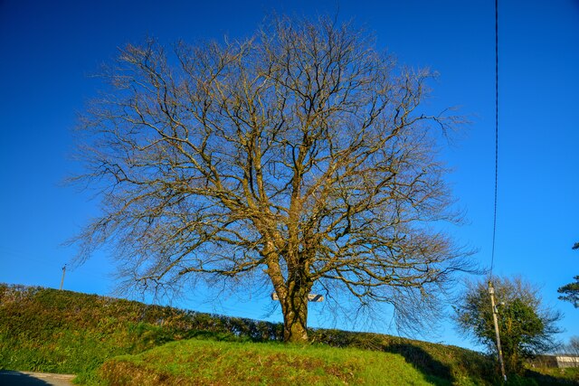
South Down Wood boasts a diverse range of tree species, including native oaks, beech, birch, and ash trees. The woodland floor is adorned with a vibrant carpet of bluebells during springtime, creating a breathtaking sight. The area is also home to various wildlife, such as deer, badgers, foxes, and a wide variety of bird species.
Visitors to South Down Wood can enjoy a tranquil and peaceful atmosphere, perfect for leisurely walks or picnics. The wood offers a network of well-maintained footpaths, allowing visitors to explore its natural beauty at their own pace. Additionally, there are designated areas for camping and barbecues, providing opportunities for overnight stays or outdoor gatherings.
The wood is managed by a local conservation organization, which ensures the preservation of its natural habitats and biodiversity. Educational programs and guided walks are often organized to raise awareness about the importance of woodland conservation and to promote an understanding of the ecosystem.
Overall, South Down Wood offers a serene escape from the hustle and bustle of everyday life, providing visitors with the chance to immerse themselves in the beauty of nature and experience the tranquility of a Devonshire woodland.
If you have any feedback on the listing, please let us know in the comments section below.
South Down Wood Images
Images are sourced within 2km of 51.037909/-3.7073389 or Grid Reference SS8027. Thanks to Geograph Open Source API. All images are credited.


South Down Wood is located at Grid Ref: SS8027 (Lat: 51.037909, Lng: -3.7073389)
Administrative County: Devon
District: North Devon
Police Authority: Devon and Cornwall
What 3 Words
///budding.pulled.artichoke. Near South Molton, Devon
Nearby Locations
Related Wikis
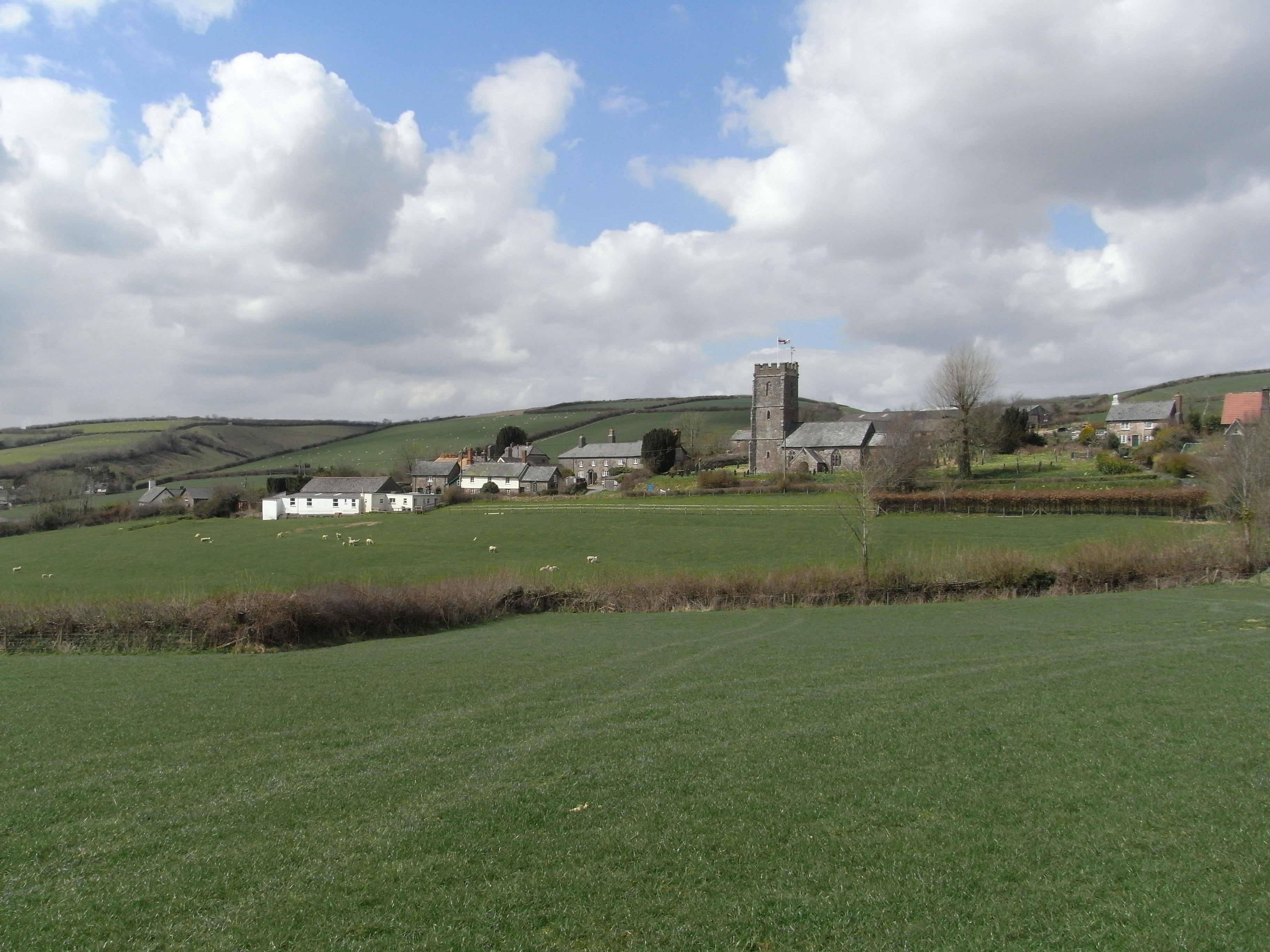
Molland
Molland is a small village, civil parish, dual ecclesiastical parish with Knowstone, located in the foothills of Exmoor in Devon, England. It lies within...

Bickingcott
Bickingcott is a village in Devon, England. == External links == Media related to Bickingcott at Wikimedia Commons

Twitchen, Devon
Twitchen is a village and civil parish in Devon, England, located within the North Devon local authority area. Historically it formed part of South Molton...

West Anstey
West Anstey is a village and civil parish on the River Yeo, about 5 miles west of Dulverton, in the North Devon district, in the county of Devon, England...
Nearby Amenities
Located within 500m of 51.037909,-3.7073389Have you been to South Down Wood?
Leave your review of South Down Wood below (or comments, questions and feedback).