Wheatham Combe

Valley in Somerset Somerset West and Taunton

England

Wheatham Combe

Somerset border sign on the A39 east
Somerset border sign on the A39 east Credit: Roy Hughes

Wheatham Combe is a picturesque valley located in Somerset, a county in southwest England. Situated near the village of Chewton Mendip, the valley is known for its stunning natural beauty and tranquil atmosphere.

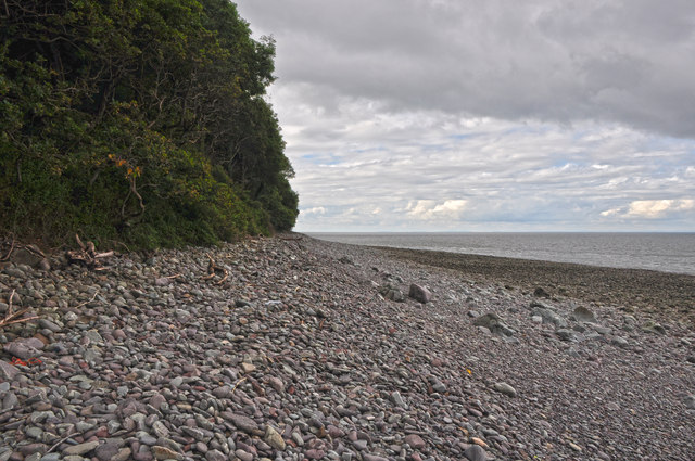
Surrounded by rolling hills and lush greenery, Wheatham Combe offers breathtaking views of the countryside. The valley is home to a diverse range of flora and fauna, with wildflowers, ancient trees, and various bird species being commonly spotted in the area. The peacefulness of the valley makes it a haven for nature lovers and those seeking a break from the hustle and bustle of city life.

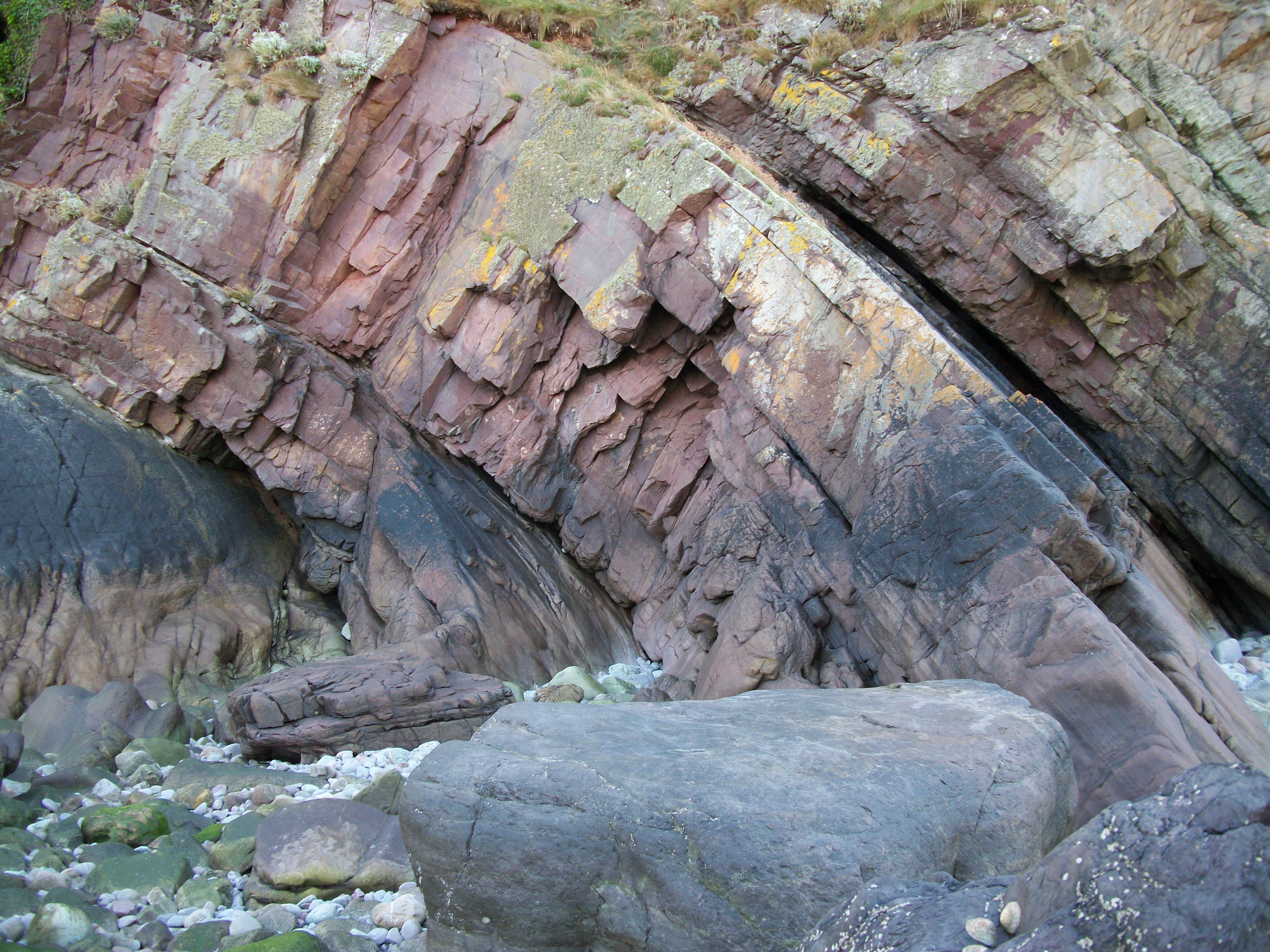
Wheatham Combe also holds historical significance, with evidence of human settlement dating back centuries. The valley has been inhabited since prehistoric times, and remnants of ancient structures and artifacts have been discovered in the area. This rich history adds to the allure of the valley, attracting archaeology enthusiasts and history buffs alike.

The valley is a popular destination for outdoor activities such as hiking, cycling, and picnicking. There are several well-maintained trails that wind through the valley, offering visitors the opportunity to explore its natural wonders. The peacefulness and serenity of Wheatham Combe make it an ideal spot for relaxation and contemplation.

Overall, Wheatham Combe in Somerset is a hidden gem, offering visitors a chance to immerse themselves in the beauty of nature and experience the rich history of the area. Whether it's a leisurely stroll through the valley or an adventurous hike, Wheatham Combe provides a memorable experience for all who visit.

If you have any feedback on the listing, please let us know in the comments section below.

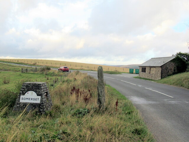
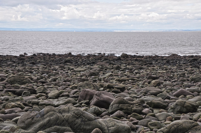
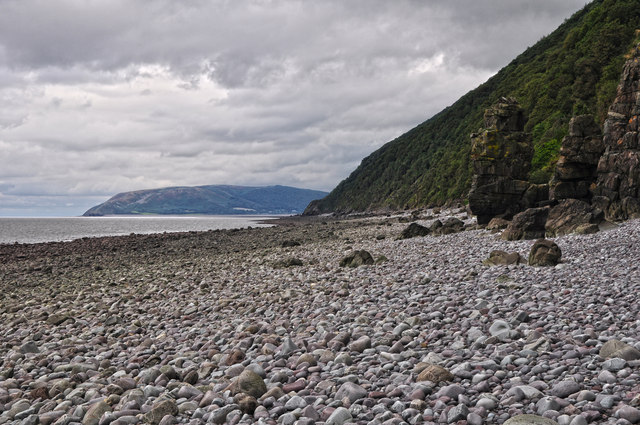
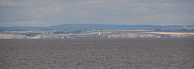
Wheatham Combe Images

Images are sourced within 2km of 51.225211/-3.7055836 or Grid Reference SS8048. Thanks to Geograph Open Source API. All images are credited.

Somerset border sign on the A39 east
West Somerset : Bristol Channel Looking out to the Bristol Channel on the West Somerset coastline.
West Somerset : Bristol Channel
Looking out to the Bristol Channel on the West Somerset coastline.
West Somerset : Bristol Channel Looking across to the South Wales coastline from the West Somerset coastline.
West Somerset : Bristol Channel
Looking across to the South Wales coastline from the West Somerset coastline.
West Somerset : Bristol Channel Looking across the Bristol Channel and across to the South Wales coastline.
West Somerset : Bristol Channel
Looking across the Bristol Channel and across to the South Wales coastline.
West Somerset : Bristol Channel Looking across the Bristol Channel with a boat in the water.
West Somerset : Bristol Channel
Looking across the Bristol Channel with a boat in the water.
West Somerset : Bristol Channel Looking across to Nash Point with the lighthouse in view on the South Wales coastline.
West Somerset : Bristol Channel
Looking across to Nash Point with the lighthouse in view on the South Wales coastline.
West Somerset : Bristol Channel Looking across the Bristol Channel to the Welsh coastline.
West Somerset : Bristol Channel
Looking across the Bristol Channel to the Welsh coastline.
West Somerset : Bristol Channel Looking out across the West Somerset coastline towards South Wales.
West Somerset : Bristol Channel
Looking out across the West Somerset coastline towards South Wales.
West Somerset : Bristol Channel Looking out across the Bristol Channel towards South Wales.
West Somerset : Bristol Channel
Looking out across the Bristol Channel towards South Wales.
West Somerset : Pebble Beach Looking out across the rocks and boulders of the coastline.
West Somerset : Pebble Beach
Looking out across the rocks and boulders of the coastline.
West Somerset : Coastal Scenery Looking out across the West Somerset coastline.
West Somerset : Coastal Scenery
Looking out across the West Somerset coastline.
West Somerset : Pebble Beach Pebbles, rocks and boulders along the coastline.
West Somerset : Pebble Beach
Pebbles, rocks and boulders along the coastline.
West Somerset : Pebble Beach Below the woodland and cliff is this hard to get to bit of coastline.
West Somerset : Pebble Beach
Below the woodland and cliff is this hard to get to bit of coastline.
West Somerset : Coastal Scenery Looking along the pebbly, rocky and difficult to walk on coastline.
West Somerset : Coastal Scenery
Looking along the pebbly, rocky and difficult to walk on coastline.
West Somerset : Rocky Beach Rocks and pebbles on the coastline of West Somerset.
West Somerset : Rocky Beach
Rocks and pebbles on the coastline of West Somerset.
West Somerset : Pebble Beach Looking out across a pebbly and rocky beach.
West Somerset : Pebble Beach
Looking out across a pebbly and rocky beach.
West Somerset : Bristol Channel Looking across to Nash Point and the lighthouse. Doesn't look far, but a whole two hour drive away.
West Somerset : Bristol Channel
Looking across to Nash Point and the lighthouse. Doesn't look far, but a whole two hour drive away.
West Somerset : Coastal Scenery Looking out across the pebble beach near Embelle Wood.
West Somerset : Coastal Scenery
Looking out across the pebble beach near Embelle Wood.
Show me another place!

Wheatham Combe is located at Grid Ref: SS8048 (Lat: 51.225211, Lng: -3.7055836)

Administrative County: Somerset

District: Somerset West and Taunton

Police Authority: Avon and Somerset

What 3 Words

///engulfing.originate.workshop. Near Porlock, Somerset

Related Wikis

Glenthorne

Glenthorne (grid reference SS800497) is a 13.3 hectare geological Site of Special Scientific Interest in the parish of Oare within the Exmoor National...

Church of St Mary, Oare

The Anglican Church of St Mary in Oare, Somerset, England, was built in the 15th century. It is a Grade II* listed building. == History == The nave and...

East Lyn Valley

East Lyn Valley is a valley of Exmoor, covering northern Devon and western Somerset, England. The East Lyn River is formed from several main tributaries...

Oare Water

Oare Water passes through the village of Oare, on Exmoor in Somerset, England. It joins Badgworthy Water before flowing to Watersmeet and the Bristol Channel...

Nearby Amenities

Located within 500m of 51.225211,-3.7055836
Power: pole
Source: bing
Lat/Long: 51.2261531/-3.7125152
Power: pole
Source: bing
Lat/Long: 51.2262093/-3.7110923
Power: pole
Source: bing
Lat/Long: 51.2262354/-3.710344
Power: pole
Source: bing
Lat/Long: 51.2257163/-3.7095594
Power: pole
Source: bing
Lat/Long: 51.2250957/-3.7086032
Power: pole
Source: bing
Lat/Long: 51.2245615/-3.7077865
Power: pole
Source: bing
Lat/Long: 51.2240786/-3.7070301
Power: pole
Source: bing
Lat/Long: 51.2235897/-3.7063006
Power: pole
Source: bing
Lat/Long: 51.2228682/-3.7051982
Power: pole
Source: bing
Lat/Long: 51.2222005/-3.704187
Power: pole
Source: bing
Lat/Long: 51.2218242/-3.7028016
The data included in this document is from www.openstreetmap.org. The data is made available under ODbL.

Have you been to Wheatham Combe?

Leave your review of Wheatham Combe below (or comments, questions and feedback).