Yenworthy Common

Downs, Moorland in Somerset Somerset West and Taunton

England

Yenworthy Common

Somerset border sign on the A39 east
Somerset border sign on the A39 east Credit: Roy Hughes

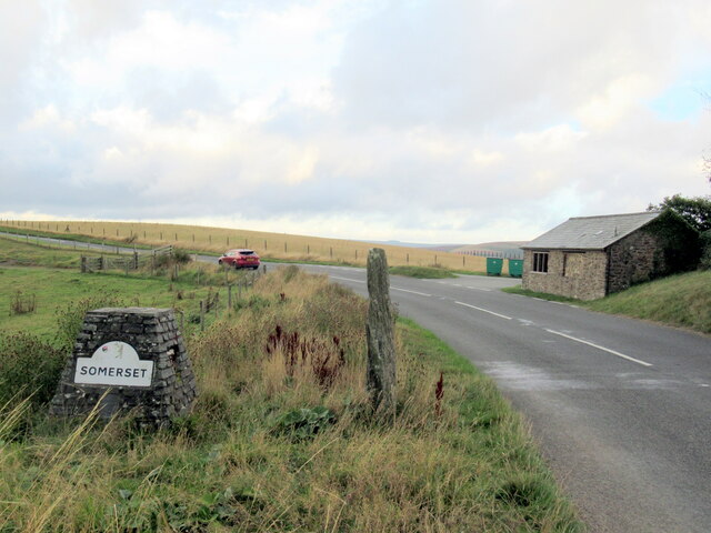
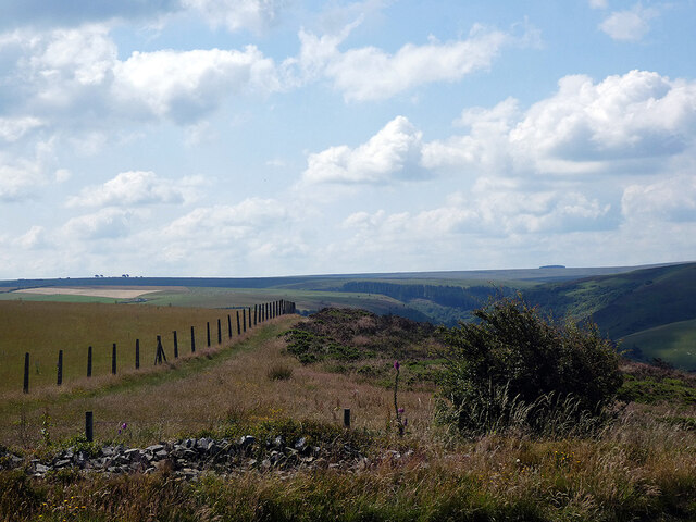
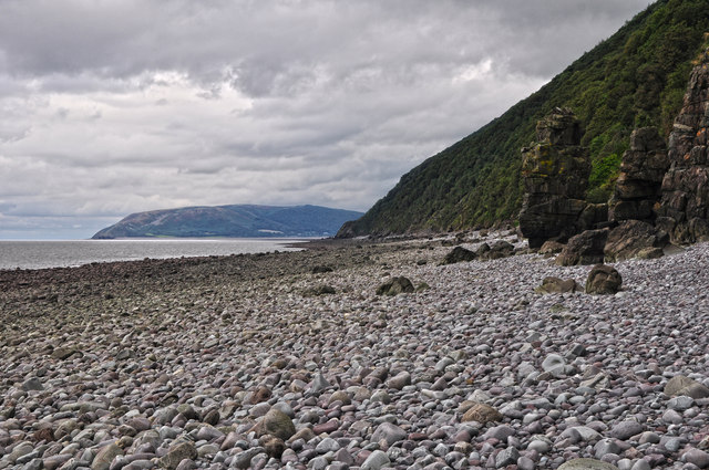
Yenworthy Common is a picturesque area located in Somerset, England. Situated on the western edge of Exmoor National Park, it encompasses a mix of downs and moorland landscapes. With its diverse terrain and stunning natural beauty, Yenworthy Common attracts visitors from near and far.

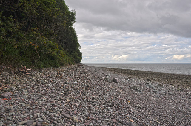
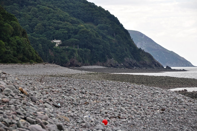
Covering an area of approximately 1,000 acres, the common is characterized by rolling hills, open grasslands, and heather-covered moorlands. It is home to a rich variety of flora and fauna, including heather, gorse, bilberry, and numerous species of birds, butterflies, and insects.

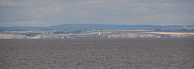
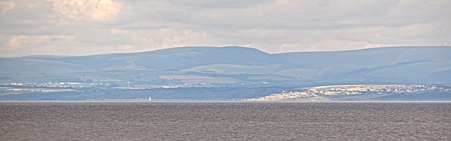
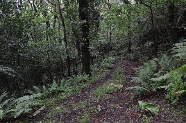
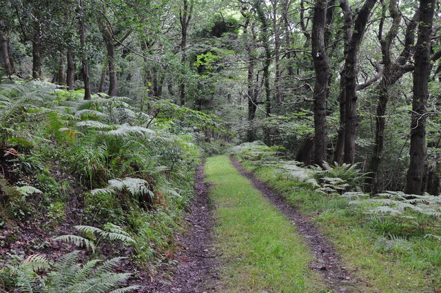
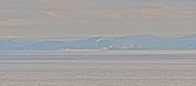
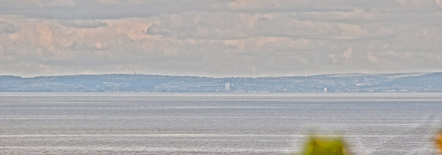
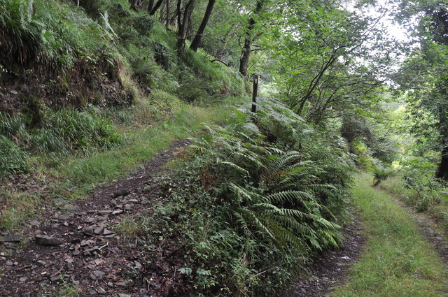
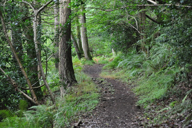
The common offers breathtaking panoramic views, especially from its highest point, where visitors can admire the surrounding countryside and coastline stretching out to the Bristol Channel. The area is also crisscrossed by a network of footpaths and trails, providing opportunities for leisurely walks, hiking, and birdwatching.

The peaceful and tranquil atmosphere of Yenworthy Common makes it an ideal place for nature enthusiasts, photographers, and those seeking a break from the hustle and bustle of everyday life. On a clear day, visitors may even catch a glimpse of wild ponies grazing on the open moorland.

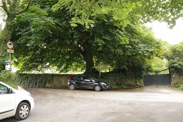
Yenworthy Common is easily accessible by car or public transport, with nearby parking facilities available. The local authorities have taken measures to preserve and protect the natural environment, ensuring that future generations can continue to enjoy the beauty of this Somerset gem.

If you have any feedback on the listing, please let us know in the comments section below.

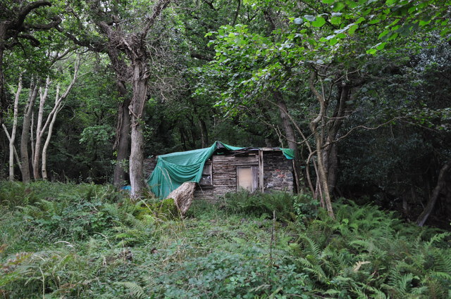
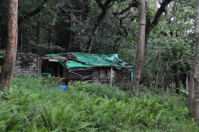
Yenworthy Common Images

Images are sourced within 2km of 51.220857/-3.7154898 or Grid Reference SS8048. Thanks to Geograph Open Source API. All images are credited.

Somerset border sign on the A39 east
East Lyn river valley from County Gate
West Somerset : Pebble Beach Looking out across a pebbly and rocky beach.
West Somerset : Pebble Beach
Looking out across a pebbly and rocky beach.
West Somerset : Bristol Channel Looking across to Nash Point and the lighthouse. Doesn't look far, but a whole two hour drive away.
West Somerset : Bristol Channel
Looking across to Nash Point and the lighthouse. Doesn't look far, but a whole two hour drive away.
West Somerset : Coastal Scenery Looking out across the pebble beach near Embelle Wood.
West Somerset : Coastal Scenery
Looking out across the pebble beach near Embelle Wood.
West Somerset : Bristol Channel Looking out across the Bristol Channel towards South Wales.
West Somerset : Bristol Channel
Looking out across the Bristol Channel towards South Wales.
West Somerset : Bristol Channel Looking towards South Wales from the West Somerset coastline.
West Somerset : Bristol Channel
Looking towards South Wales from the West Somerset coastline.
West Somerset : Embelle Wood Beach Looking across the coastline along Embelle Wood Beach.
West Somerset : Embelle Wood Beach
Looking across the coastline along Embelle Wood Beach.
West Somerset : Embelle Wood Difficult to believe that some bloke lived in that hidden shack, undiscovered by the local Exmoor authorities for over 20 years.
West Somerset : Embelle Wood
Difficult to believe that some bloke lived in that hidden shack, undiscovered by the local Exmoor authorities for over 20 years.
West Somerset : Embelle Wood Embelle Wood with a shack were a man once lived not too long ago <span class="nowrap"><a title="http://www.bbc.co.uk/news/uk-england-bristol-16226934" rel="nofollow ugc noopener" href="http://www.bbc.co.uk/news/uk-england-bristol-16226934">Link</a><img style="margin-left:2px;" alt="External link" title="External link - shift click to open in new window" src="https://s1.geograph.org.uk/img/external.png" width="10" height="10"/></span>
West Somerset : Embelle Wood
Embelle Wood with a shack were a man once lived not too long ago LinkExternal link
West Somerset : Embelle Wood A wooden hut where the man of the woodlands lives <span class="nowrap"><a title="http://www.bbc.co.uk/news/uk-england-bristol-16226934" rel="nofollow ugc noopener" href="http://www.bbc.co.uk/news/uk-england-bristol-16226934">Link</a><img style="margin-left:2px;" alt="External link" title="External link - shift click to open in new window" src="https://s1.geograph.org.uk/img/external.png" width="10" height="10"/></span>
West Somerset : Embelle Wood
A wooden hut where the man of the woodlands lives LinkExternal link
West Somerset : Embelle Wood A small track heading up through Embelle Wood.
West Somerset : Embelle Wood
A small track heading up through Embelle Wood.
West Somerset : Embelle Wood A track heading down through the woodlands and onto the coastline.
West Somerset : Embelle Wood
A track heading down through the woodlands and onto the coastline.
West Somerset : Bristol Channel Looking out across the Bristol Channel from West Somerset.
West Somerset : Bristol Channel
Looking out across the Bristol Channel from West Somerset.
West Somerset : Bristol Channel Looking out across the Bristol Channel and towards the South Wales coast.
West Somerset : Bristol Channel
Looking out across the Bristol Channel and towards the South Wales coast.
West Somerset : Embelle Wood A track heading through the woodland.
West Somerset : Embelle Wood
A track heading through the woodland.
West Somerset : South West Coast Path The path heads through Embelle Wood and onwards to Porlock Weir.
West Somerset : South West Coast Path
The path heads through Embelle Wood and onwards to Porlock Weir.
Left to Robbers Bridge; Right to Malmsmead
Show me another place!

Yenworthy Common is located at Grid Ref: SS8048 (Lat: 51.220857, Lng: -3.7154898)

Administrative County: Somerset

District: Somerset West and Taunton

Police Authority: Avon and Somerset

What 3 Words

///months.dime.conned. Near Porlock, Somerset

Related Wikis

Church of St Mary, Oare

The Anglican Church of St Mary in Oare, Somerset, England, was built in the 15th century. It is a Grade II* listed building. == History == The nave and...

Oare Water

Oare Water passes through the village of Oare, on Exmoor in Somerset, England. It joins Badgworthy Water before flowing to Watersmeet and the Bristol Channel...

Badgworthy Water

Badgworthy Water is a small river which flows through Malmsmead on Exmoor, close to the border between Devon and Somerset, England. It merges with Oare...

East Lyn Valley

East Lyn Valley is a valley of Exmoor, covering northern Devon and western Somerset, England. The East Lyn River is formed from several main tributaries...

Nearby Amenities

Located within 500m of 51.220857,-3.7154898
Power: pole
Source: bing
Lat/Long: 51.2246648/-3.7176543
Power: pole
Source: bing
Lat/Long: 51.223835/-3.7179521
The data included in this document is from www.openstreetmap.org. The data is made available under ODbL.

Have you been to Yenworthy Common?

Leave your review of Yenworthy Common below (or comments, questions and feedback).