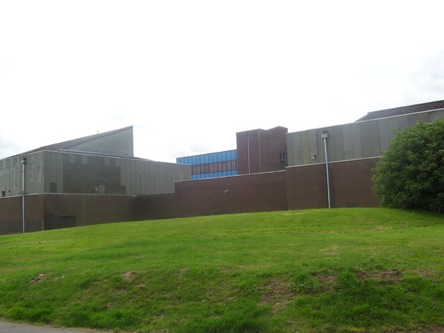
Fannyside Muir
Downs, Moorland in Dunbartonshire
Scotland
Fannyside Muir

Fannyside Muir is a vast expanse of moorland located in Dunbartonshire, Scotland. Stretching across approximately 3,000 acres, it is situated to the southwest of the town of Cumbernauld. The muir is characterized by its undulating terrain, with rolling hills and open fields covered in heather and grasses.
The landscape of Fannyside Muir is predominantly flat, interspersed with patches of boggy ground and small lochs. The area is a haven for wildlife, attracting a diverse range of bird species such as skylarks, curlews, and lapwings. The moorland also supports a variety of plant life, including cotton grass, bog myrtle, and heather.
Historically, Fannyside Muir played a significant role in the local economy. The area was extensively used for peat extraction, providing a vital fuel source for nearby communities. Remnants of the peat-cutting activities can still be seen today, with some of the old peat banks and drainage ditches visible across the landscape.
Accessible by footpaths and tracks, Fannyside Muir offers visitors the opportunity to explore its natural beauty. The open expanses provide a sense of tranquility, making it a popular destination for walkers, nature enthusiasts, and birdwatchers. Additionally, the muir is part of a designated Site of Special Scientific Interest, recognizing its ecological importance.
Overall, Fannyside Muir is a captivating and ecologically diverse area of moorland in Dunbartonshire. With its rich history, abundant wildlife, and stunning scenery, it offers a unique and immersive experience for those who venture to explore its vast expanse.
If you have any feedback on the listing, please let us know in the comments section below.
Fannyside Muir Images
Images are sourced within 2km of 55.952274/-3.9187111 or Grid Reference NS8074. Thanks to Geograph Open Source API. All images are credited.
Fannyside Muir is located at Grid Ref: NS8074 (Lat: 55.952274, Lng: -3.9187111)
Unitary Authority: North Lanarkshire
Police Authority: Lanarkshire
What 3 Words
///boost.loved.lives. Near Cumbernauld, North Lanarkshire
Nearby Locations
Related Wikis
Abronhill
Abronhill () is an area in the north-east of Cumbernauld, North Lanarkshire, Scotland. It extends one to two miles (two to three kilometres) from Cumbernauld...
Abronhill High School
Abronhill High School was a non-denominational, comprehensive, secondary school in Abronhill, a suburb of the Scottish new town of Cumbernauld. The school...
Castle Cary Castle
Castle Cary Castle (sometimes called Castlecary Castle) is a fifteenth-century tower house, about 6 miles (10 km) from Falkirk, in the former county...
Cumbernauld Academy
Cumbernauld Academy (formerly Cumbernauld High School) is a comprehensive secondary school in Cumbernauld, Scotland. The original Cumbernauld High School...
Nearby Amenities
Located within 500m of 55.952274,-3.9187111Have you been to Fannyside Muir?
Leave your review of Fannyside Muir below (or comments, questions and feedback).


