Letchole Plantation
Wood, Forest in Devon Teignbridge
England
Letchole Plantation
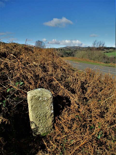
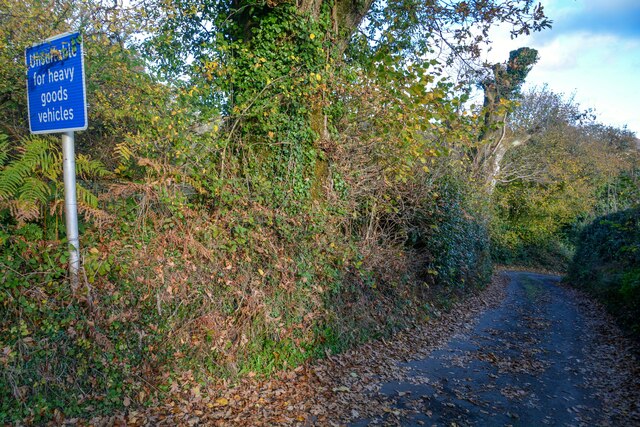
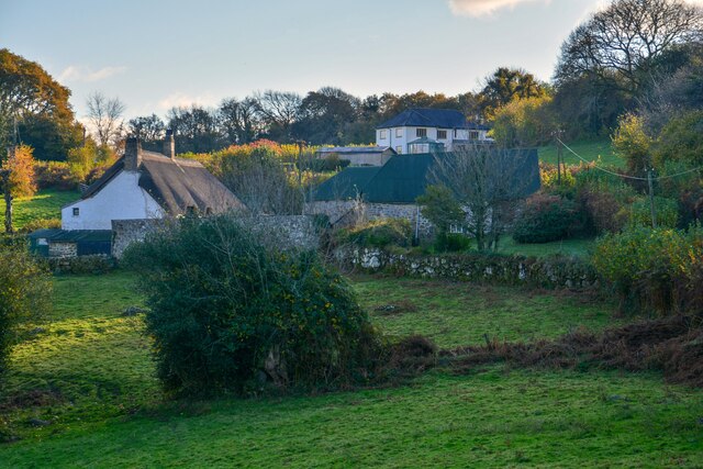
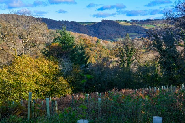
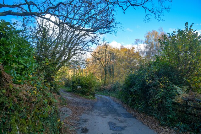
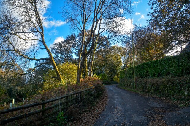
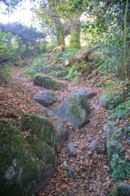
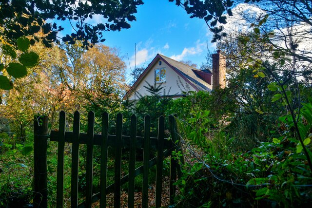
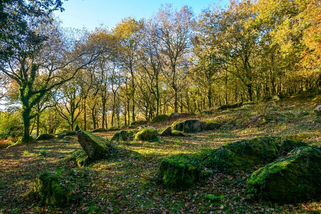
Letchole Plantation is a charming woodland area located in Devon, England. Nestled amidst the picturesque countryside, this plantation is known for its beautiful woodlands and dense forests. Spanning over several acres, Letchole Plantation offers a tranquil escape for nature lovers and outdoor enthusiasts.
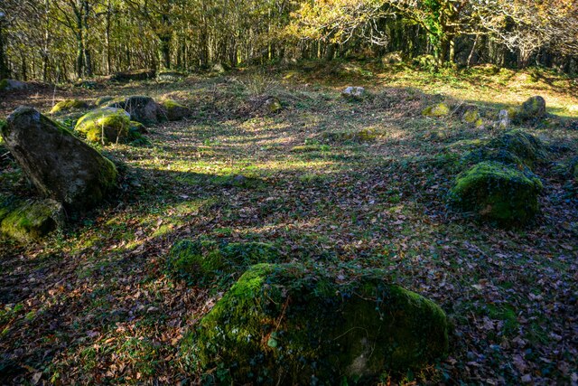
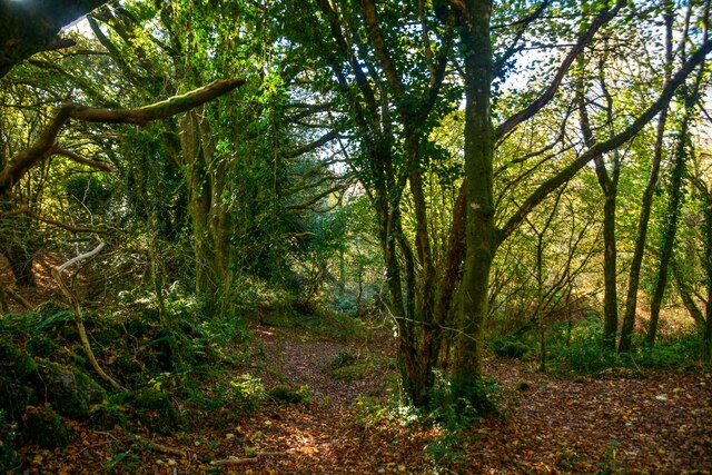
The plantation is home to a diverse range of tree species, including oak, beech, and birch, which create a stunning canopy overhead. The dense foliage provides a cool and shaded environment, making it an ideal spot for leisurely walks or picnics on warm summer days.
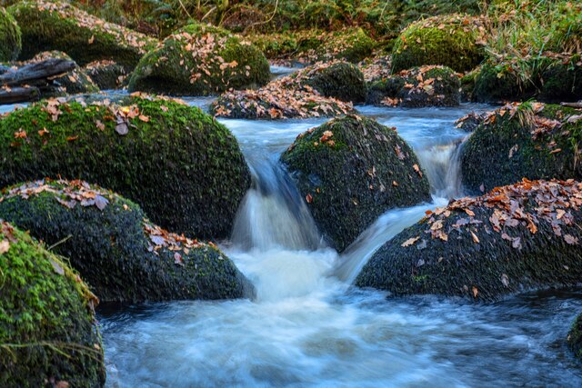
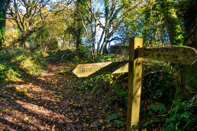
The woodland paths meander through the plantation, leading visitors to discover hidden gems along the way. One such gem is a serene pond, surrounded by lush greenery and frequented by various bird species. Birdwatching enthusiasts will be delighted by the opportunity to spot a wide array of avian species, including robins, blue tits, and woodpeckers.
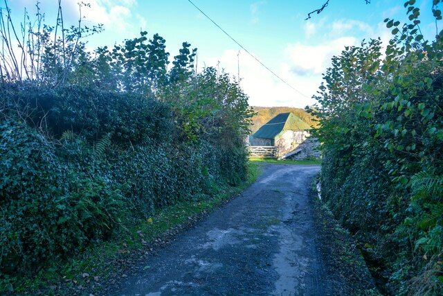
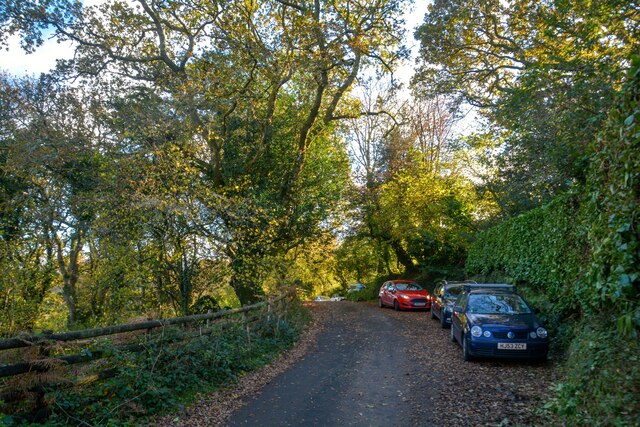
Letchole Plantation also offers a variety of recreational activities for visitors. There are designated areas for camping, allowing nature enthusiasts to immerse themselves in the serene surroundings overnight. Additionally, the plantation features well-maintained trails for hiking and cycling, providing ample opportunities to explore the diverse landscapes.
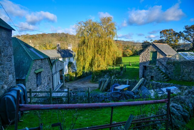
The plantation is well-preserved and maintained by local authorities, ensuring a clean and safe environment for all visitors. The surrounding areas are home to an abundance of wildlife, including deer, foxes, and rabbits, adding to the natural beauty and allure of Letchole Plantation.
In conclusion, Letchole Plantation in Devon is a haven for nature lovers, offering a tranquil escape from the hustle and bustle of city life. With its beautiful woodlands, diverse wildlife, and recreational activities, it is a must-visit destination for those seeking solace in the embrace of nature.
If you have any feedback on the listing, please let us know in the comments section below.
Letchole Plantation Images
Images are sourced within 2km of 50.615383/-3.75707 or Grid Reference SX7580. Thanks to Geograph Open Source API. All images are credited.


Letchole Plantation is located at Grid Ref: SX7580 (Lat: 50.615383, Lng: -3.75707)
Administrative County: Devon
District: Teignbridge
Police Authority: Devon and Cornwall
What 3 Words
///topped.submerged.unity. Near Moretonhampstead, Devon
Nearby Locations
Related Wikis
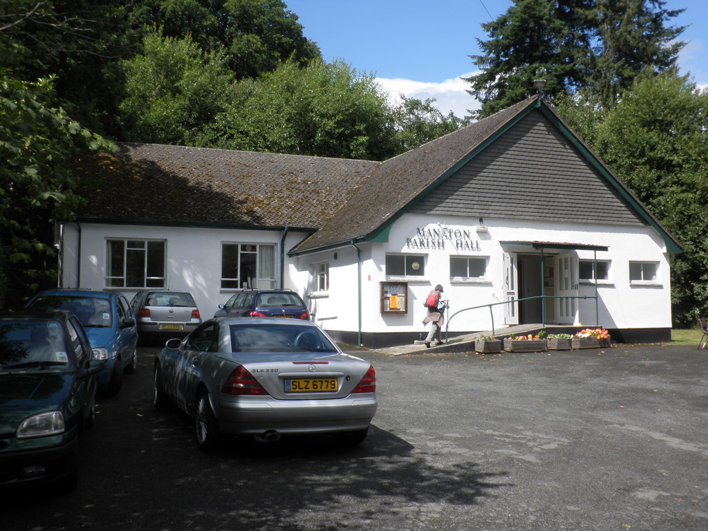
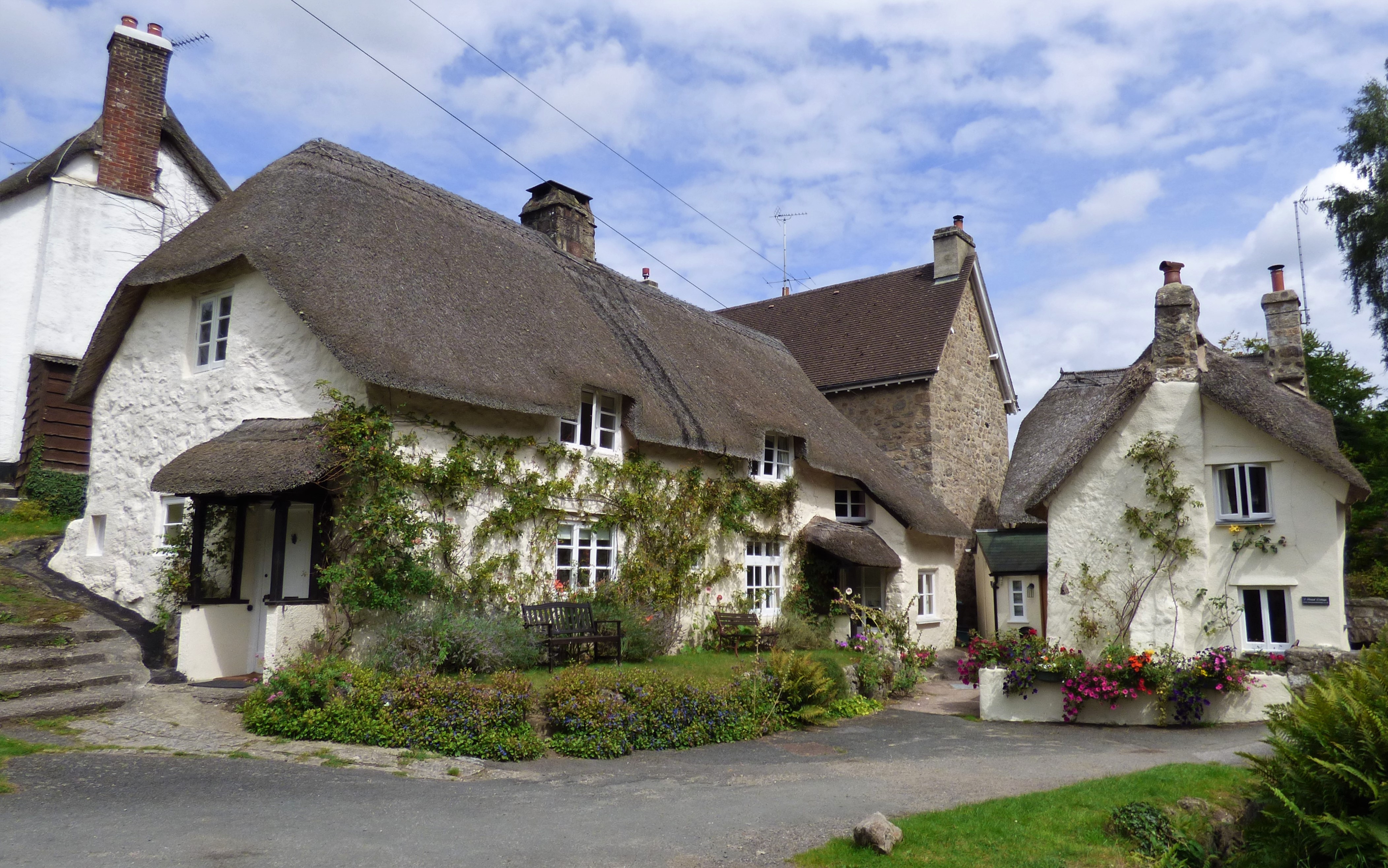
Manaton
Manaton is a village situated to the southeast of Dartmoor National Park, Devon, England. The 15th-century church, located in a prominent spot due north...
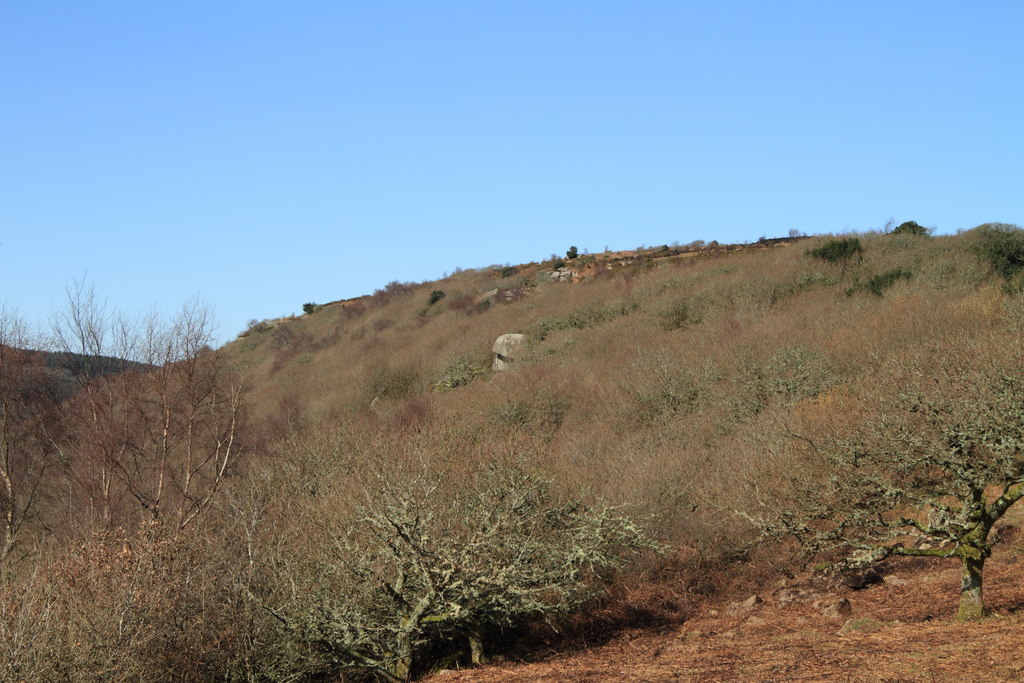
Lustleigh Cleave
The Lustleigh Cleave is a steep sided valley above the River Bovey in the parish of Lustleigh on Dartmoor. The cleave has been noted for its beauty since...
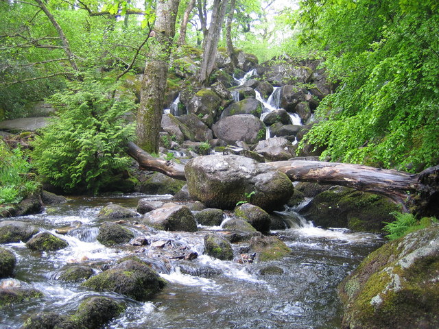
Becky Falls
Becky Falls, originally known as Becka Falls, is a tourist attraction in Dartmoor, England, centered on a waterfall of around 20 metres down a boulder...
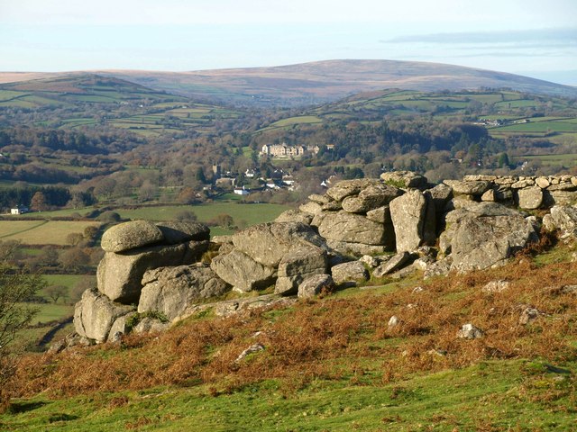
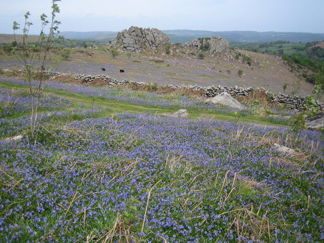
Hunter's Tor, Lustleigh Cleave
Hunter's Tor is a granite tor located in the parish of Lustleigh, on Dartmoor. It is one of two tors with the same name, the other being in the Teign Gorge...
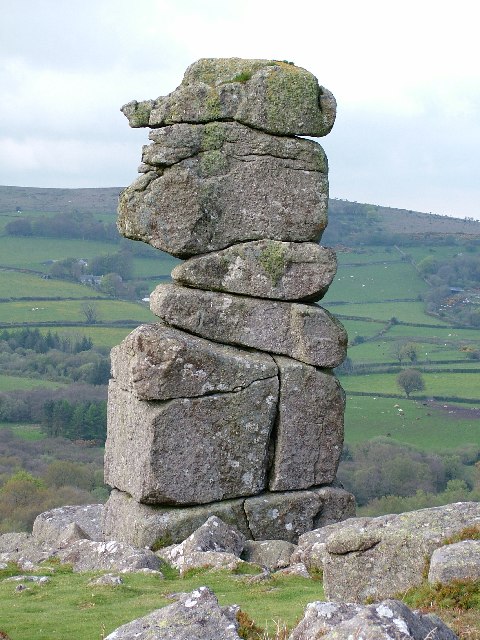
Bowerman's Nose
Bowerman's Nose is a stack of weathered granite on Dartmoor, Devon, England. It is situated on the northern slopes of Hayne Down, about a mile from Hound...

Hundatorra
Hundatorra or Hundetorre is a deserted medieval village near Hound Tor on Dartmoor, Devon. The site has seen two periods of historic occupation, the first...
Greator Rocks
Greator Rocks, Greater, or Grea Tor, is a dramatic granite tor on Dartmoor, England. It is a common climbing tor, like nearby Hound Tor. It is 371m above...
Lustleigh
Lustleigh is a small village and civil parish in the Wray Valley, inside the Dartmoor National Park in Devon, England. It is between the towns of Bovey...
Nearby Amenities
Located within 500m of 50.615383,-3.75707Have you been to Letchole Plantation?
Leave your review of Letchole Plantation below (or comments, questions and feedback).