Mounts Quarry Plantation

Wood, Forest in Devon South Hams

England

Mounts Quarry Plantation

Turning to Woolcombe Farm ahead, on the A381
Turning to Woolcombe Farm ahead, on the A381 Credit: Rob Purvis

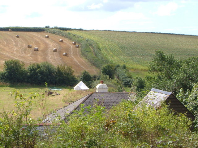
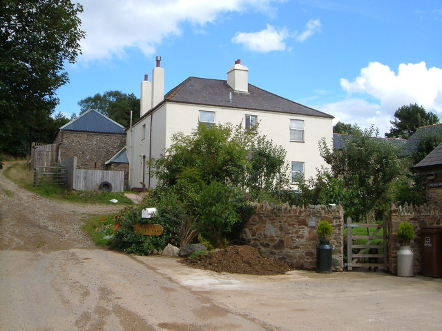
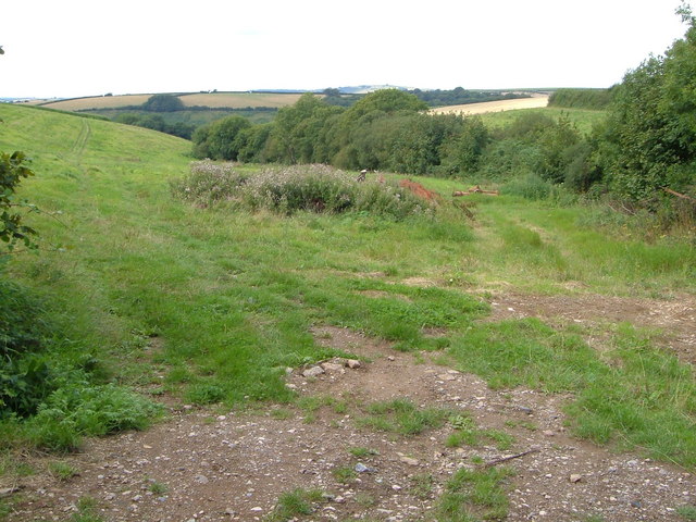
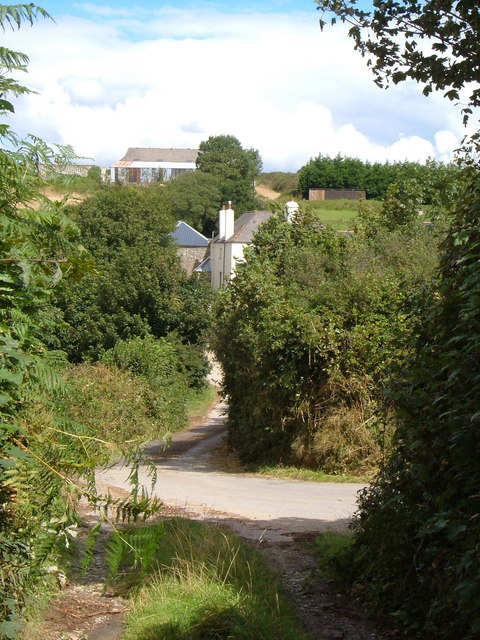
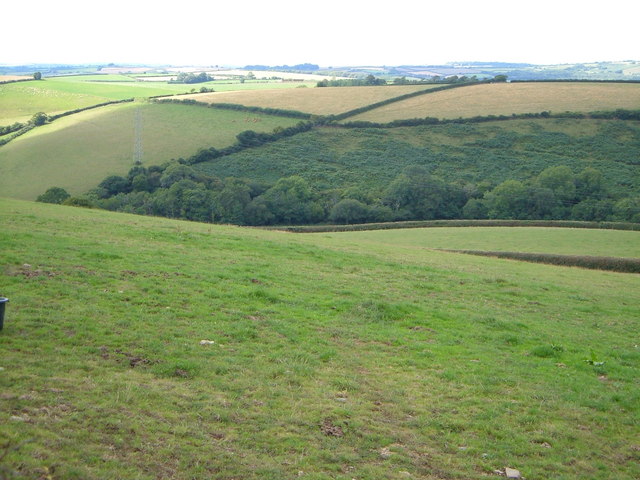
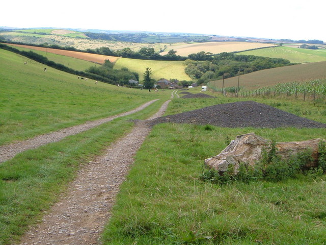
Mounts Quarry Plantation is a woodland located in Devon, England. Covering an area of approximately 100 acres, it is situated near the small village of Mounts Quarry. The plantation is known for its dense and diverse vegetation, making it an important habitat for various species of plants and animals.

The woodland is predominantly made up of deciduous trees such as oak, beech, and ash. These trees provide a lush canopy, creating a shaded and cool environment within the plantation. Underneath the trees, there is an abundance of shrubs, ferns, and wildflowers, adding to the overall biodiversity of the area.

Mounts Quarry Plantation is home to a wide range of wildlife. Bird species such as blackbirds, thrushes, and woodpeckers can often be spotted among the branches, while mammals like squirrels, badgers, and foxes are known to inhabit the area. The woodland also houses a variety of insects, including butterflies, beetles, and spiders.

The plantation is a popular destination for nature enthusiasts and hikers, offering a network of well-maintained trails that wind through the woodland. These paths provide visitors with the opportunity to explore the plantation's natural beauty and observe its flora and fauna up close.

Overall, Mounts Quarry Plantation is a picturesque woodland that showcases the natural splendor of Devon. With its diverse ecosystem and scenic trails, it offers visitors a tranquil retreat where they can connect with nature and enjoy the peaceful surroundings.

If you have any feedback on the listing, please let us know in the comments section below.

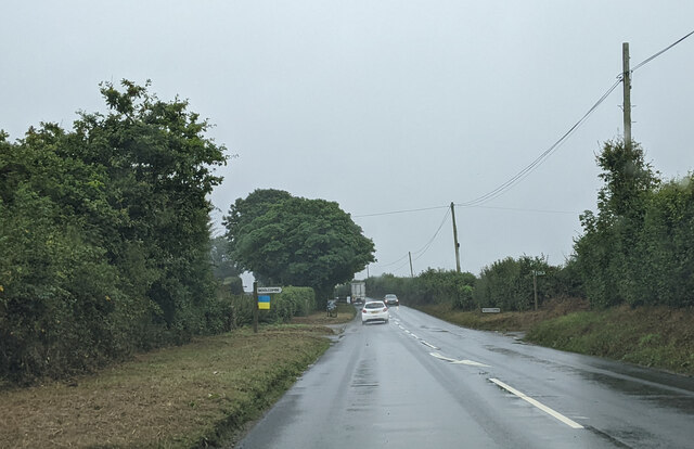
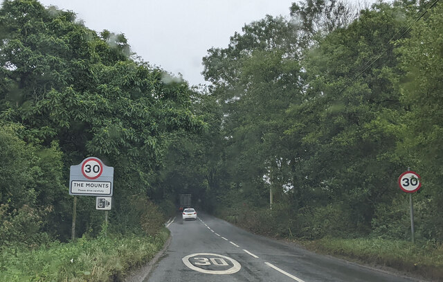
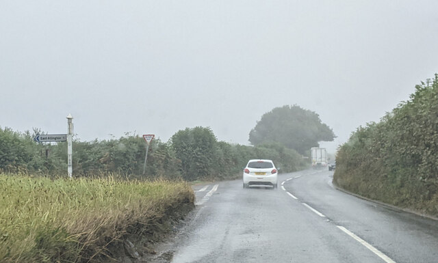
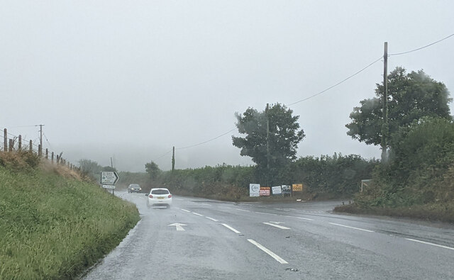
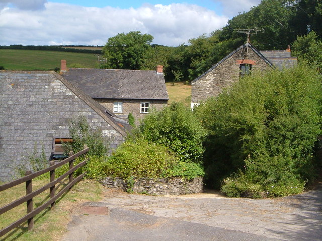
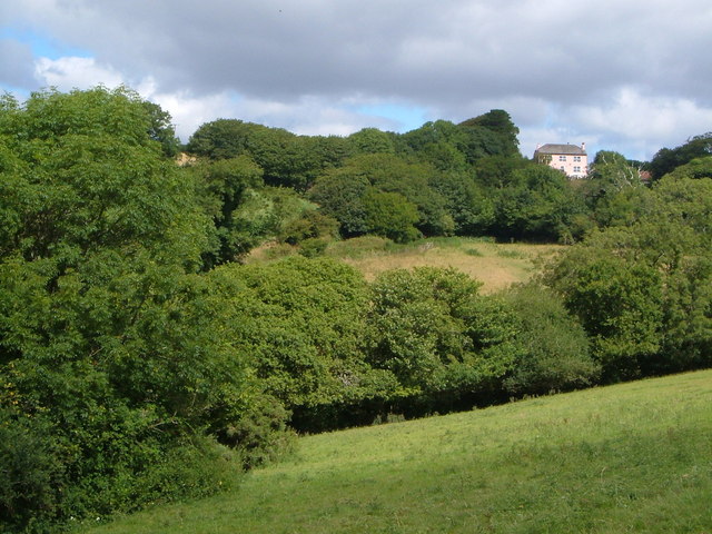
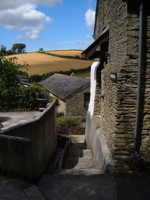
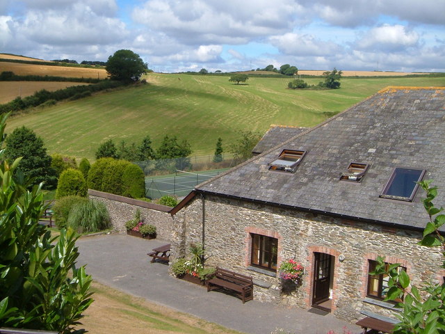
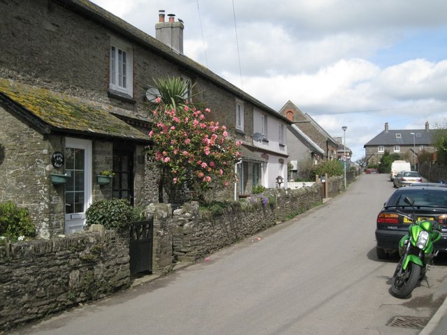
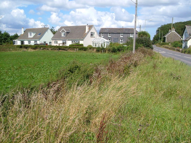
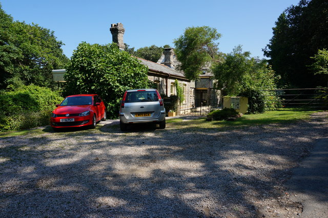
Mounts Quarry Plantation Images

Images are sourced within 2km of 50.326692/-3.7460891 or Grid Reference SX7548. Thanks to Geograph Open Source API. All images are credited.

Turning to Woolcombe Farm ahead, on the A381
Approaching The Mounts on the A381, heading south
Firs Cross in the rain, on the A381 heading south
Turning to Torr Quarry and the Recycling Centre, on the A381, heading south
Pitt Farm A farm near East Allington that has been extensively developed for tourism accommodation, with indoor pool and tennis court.
Pitt Farm
A farm near East Allington that has been extensively developed for tourism accommodation, with indoor pool and tennis court.
Cuttery House Pink hilltop farmhouse near the A381 north of Kingsbridge; seen from the bridleway from Pitt Farm.
Cuttery House
Pink hilltop farmhouse near the A381 north of Kingsbridge; seen from the bridleway from Pitt Farm.
Pitt Farm Two of the converted outbuildings at Pitt Farm near East Allington.
Pitt Farm
Two of the converted outbuildings at Pitt Farm near East Allington.
Pitt Farm A converted outbuilding at this farm north of east Allington which offers superior holiday accommodation - note the tennis court. Beyond, the ground rises towards the ridgetop A381.
Pitt Farm
A converted outbuilding at this farm north of east Allington which offers superior holiday accommodation - note the tennis court. Beyond, the ground rises towards the ridgetop A381.
Converted building at Pitt Farm A smart conversion (now called Martingale) of a farm outbuilding at Pitt Farm north of East Allington. The bridleway to the village passes by on the left.
Converted building at Pitt Farm
A smart conversion (now called Martingale) of a farm outbuilding at Pitt Farm north of East Allington. The bridleway to the village passes by on the left.
Roofs at Chilley Tent, farmhouse, outhouse at Lower Chilley Farm from the bridleway which ends here. The continuing green lane southwestwards is in the background, climbing past the bales and maize.
Roofs at Chilley
Tent, farmhouse, outhouse at Lower Chilley Farm from the bridleway which ends here. The continuing green lane southwestwards is in the background, climbing past the bales and maize.
Lower Chilley Farm Farm in a shallow valley in the South Hams. East Allington Bridleway 53 begins just behind the camera and heads up past the farmhouse towards Moreleigh.
Lower Chilley Farm
Farm in a shallow valley in the South Hams. East Allington Bridleway 53 begins just behind the camera and heads up past the farmhouse towards Moreleigh.
Valley at Chilley Looking down the shallow valley in which Lower Chilley Farm sits, towards the Torr Brook valley. Taken from the point at which the green lane from the southwest officially becomes a bridleway.
Valley at Chilley
Looking down the shallow valley in which Lower Chilley Farm sits, towards the Torr Brook valley. Taken from the point at which the green lane from the southwest officially becomes a bridleway.
Chilley mirror There's a sharp turn (<a href="https://www.geograph.org.uk/photo/229540">SX7650 : Chilley</a>) where the farm road into Chilley joins a green lane, hence the mirror reflecting Lower Chilley Farm.
Chilley mirror
There's a sharp turn (SX7650 : Chilley) where the farm road into Chilley joins a green lane, hence the mirror reflecting Lower Chilley Farm.
Chilley Lower Chilley Farm and various outbuildings spied from the green lane approaching from the southwest. In the foreground, the road leading into the farm from the main road makes a sharp turn, hence <a href="https://www.geograph.org.uk/photo/229537">SX7650 : Chilley mirror</a>.
Chilley
Lower Chilley Farm and various outbuildings spied from the green lane approaching from the southwest. In the foreground, the road leading into the farm from the main road makes a sharp turn, hence SX7650 : Chilley mirror.
Across the Torr Brook valley The valley is followed by a pylon line, but for much of its upper stretches is inaccessible to the public.
Across the Torr Brook valley
The valley is followed by a pylon line, but for much of its upper stretches is inaccessible to the public.
Woolcombe Farm The only buildings in this square, taken from outside, looking down the track leading from the A381 to the farm. The valley in which the farm sits swings right beyond it past Woolcombe Wood to join the Torr Brook.
Woolcombe Farm
The only buildings in this square, taken from outside, looking down the track leading from the A381 to the farm. The valley in which the farm sits swings right beyond it past Woolcombe Wood to join the Torr Brook.
Bus stop, Efford Corner  Postbox number TQ9 102; Dartmouth Road goes up the hill.
Bus stop, Efford Corner
Postbox number TQ9 102; Dartmouth Road goes up the hill.
Cottages, Vineyard Terrace  Sheltered parts of the South Hams are almost sub-tropical. Here is a Camellia in flower beside a Cordyline.
Cottages, Vineyard Terrace
Sheltered parts of the South Hams are almost sub-tropical. Here is a Camellia in flower beside a Cordyline.
Show me another place!

Mounts Quarry Plantation is located at Grid Ref: SX7548 (Lat: 50.326692, Lng: -3.7460891)

Administrative County: Devon

District: South Hams

Police Authority: Devon and Cornwall

What 3 Words

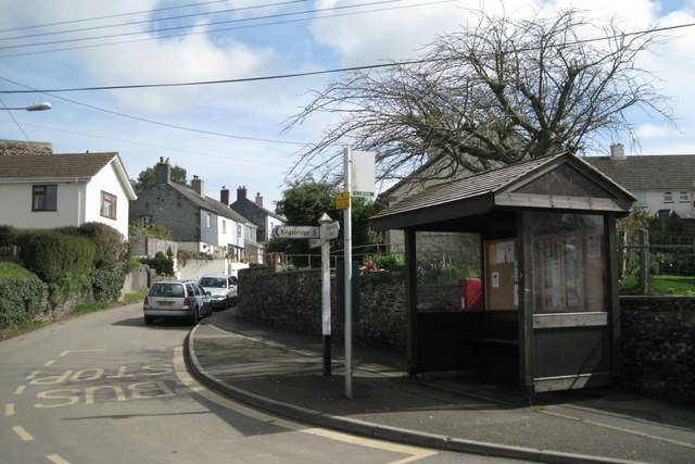
///committee.denoting.exile. Near Kingsbridge, Devon

Nearby Locations

Mounts Quarry Plantation

Related Wikis

The Mounts

The Mounts is a small hamlet, containing only 17 houses, situated on the A381 road between Totnes and Kingsbridge in Devon, England. It is part of the...

East Allington

East Allington is a village and civil parish in the South Hams district of Devon, England, three miles (5 km) south of Halwell and just off the A381 road...

Loddiswell railway station

Loddiswell railway station is a William Clarke-designed station on the Kingsbridge branch of the GWR. == History == The stone built station opened on the...

Buckland-Tout-Saints

Buckland-Tout-Saints is a village and civil parish in the South Hams district of Devon, England. In the 2001 census it had a population of 178, up from...

Nearby Amenities

Located within 500m of 50.326692,-3.7460891
Yetsonaise Cross
Place: locality
Lat/Long: 50.3306224/-3.7437005
Bus Stop
Lat/Long: 50.3296984/-3.7476966
Telephone
Booth: K6
Covered: booth
Man Made: telephone_box
Lat/Long: 50.3277891/-3.7486861
Post Box
Fixme: Not on Royal Mail database but was visible on 2017 Google Streetview. Needs a survey to confirm that this is still in place
Operator: Royal Mail
Operator Wikidata: Q638098
Post Box Type: lamp
Ref: TQ9 51
Royal Cypher: EIIR
Royal Cypher Wikidata: Q33102113
Lat/Long: 50.3277774/-3.7486879
Bus: yes
Public Transport: stop_position
Lat/Long: 50.3277167/-3.748591
Direction: 150
Generator Method: photovoltaic
Generator Output Electricity: yes
Generator Solar Modules: 8
Generator Source: solar
Generator Type: solar_photovoltaic_panel
Location: roof
Power: generator
Lat/Long: 50.3308653/-3.7443155
Direction: 150
Generator Method: photovoltaic
Generator Output Electricity: yes
Generator Solar Modules: 8
Generator Source: solar
Generator Type: solar_photovoltaic_panel
Location: roof
Power: generator
Lat/Long: 50.3308302/-3.7444013
The data included in this document is from www.openstreetmap.org. The data is made available under ODbL.

Have you been to Mounts Quarry Plantation?

Leave your review of Mounts Quarry Plantation below (or comments, questions and feedback).