Water
Settlement in Devon Teignbridge
England
Water
Water is a small village located in the county of Devon, England. Situated in the South West region of the country, it is nestled within the beautiful Dartmoor National Park. With a population of around 400 residents, Water is a close-knit community that offers a peaceful and idyllic setting for its inhabitants.
The village of Water is renowned for its stunning natural surroundings. Surrounded by rolling hills, lush green meadows, and babbling brooks, it provides a picturesque backdrop for residents and visitors alike. The River Lyd, which flows through the village, adds to the charm and tranquility of the area.
Despite its small size, Water offers some amenities to its residents. The village boasts a local pub, The Water Inn, which serves as a hub for social gatherings and community events. Additionally, there is a small primary school that caters to the educational needs of the local children.
For outdoor enthusiasts, Water provides ample opportunities for exploration and leisure activities. Dartmoor National Park, with its vast moorland and ancient woodland, is just a stone's throw away. Residents can enjoy hiking, cycling, and horseback riding in this breathtaking natural playground.
Water's close proximity to other towns and cities in Devon allows residents to access a wider range of services and amenities. The nearby town of Tavistock offers a variety of shops, supermarkets, and healthcare facilities.
In summary, Water, Devon is a charming village situated in the heart of Dartmoor National Park. With its stunning natural beauty, close-knit community, and access to outdoor activities, it provides a tranquil and fulfilling lifestyle for its residents.
If you have any feedback on the listing, please let us know in the comments section below.
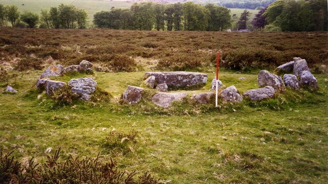
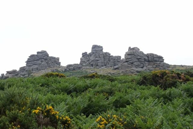
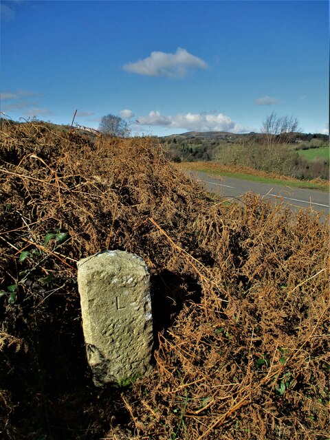
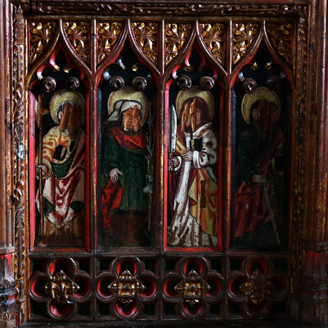
Water Images
Images are sourced within 2km of 50.606289/-3.7678537 or Grid Reference SX7580. Thanks to Geograph Open Source API. All images are credited.


Water is located at Grid Ref: SX7580 (Lat: 50.606289, Lng: -3.7678537)
Administrative County: Devon
District: Teignbridge
Police Authority: Devon and Cornwall
What 3 Words
///reprints.voting.dabbled. Near Moretonhampstead, Devon
Nearby Locations
Related Wikis
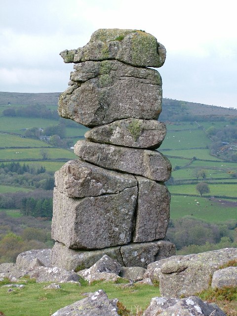
Bowerman's Nose
Bowerman's Nose is a stack of weathered granite on Dartmoor, Devon, England. It is situated on the northern slopes of Hayne Down, about a mile from Hound...
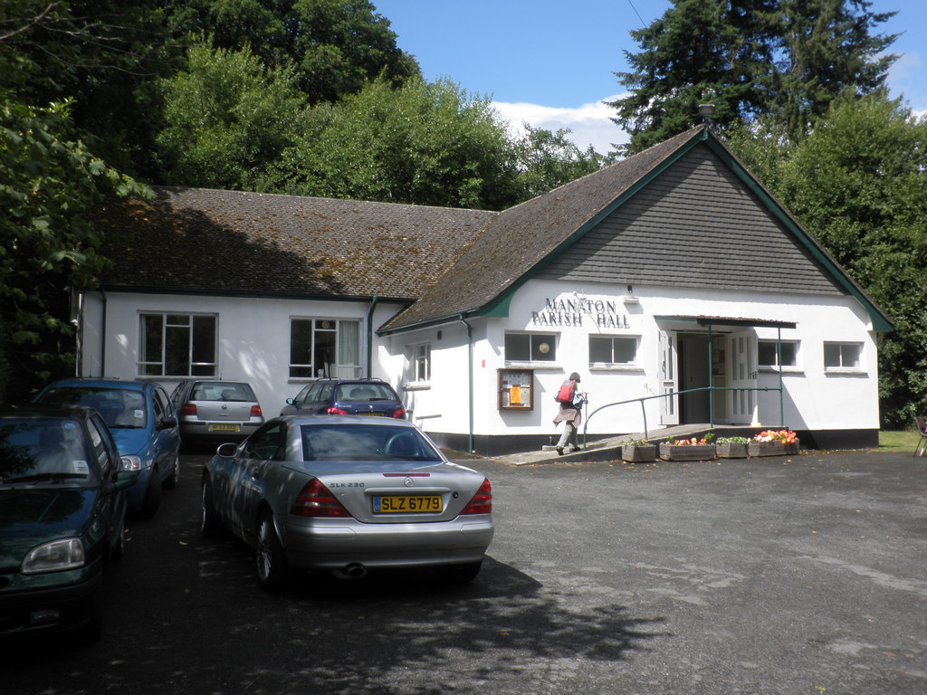
Manaton
Manaton is a village situated to the southeast of Dartmoor National Park, Devon, England. The 15th-century church, located in a prominent spot due north...
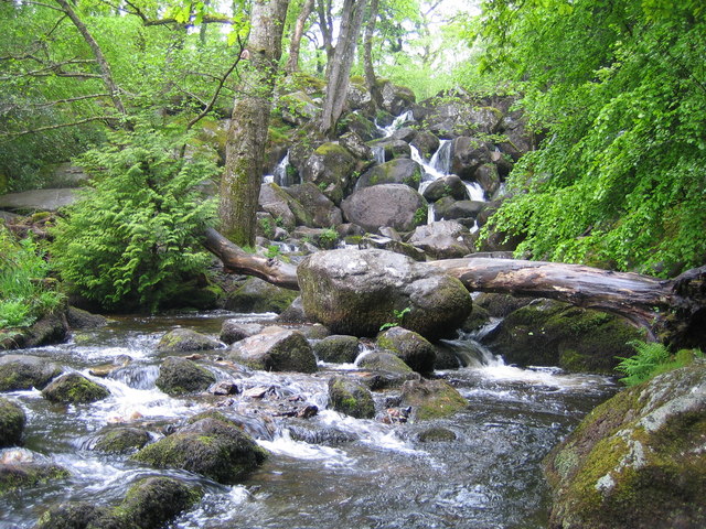
Becky Falls
Becky Falls, originally known as Becka Falls, is a tourist attraction in Dartmoor, England, centered on a waterfall of around 20 metres down a boulder...

Hundatorra
Hundatorra or Hundetorre is a deserted medieval village near Hound Tor on Dartmoor, Devon. The site has seen two periods of historic occupation, the first...
Nearby Amenities
Located within 500m of 50.606289,-3.7678537Have you been to Water?
Leave your review of Water below (or comments, questions and feedback).