Manaton
Heritage Site in Devon Teignbridge
England
Manaton
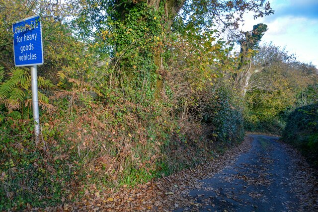
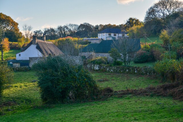
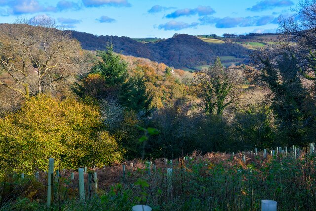
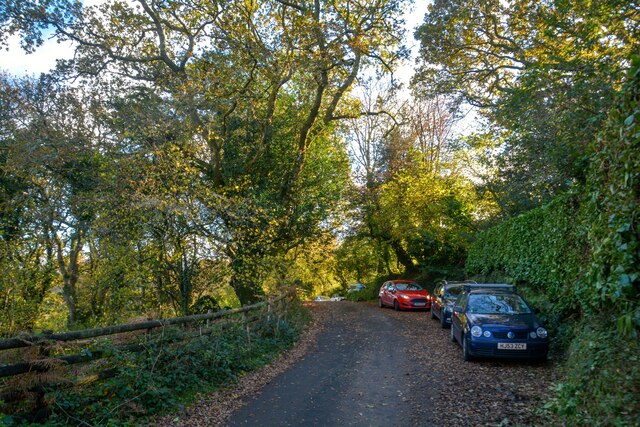
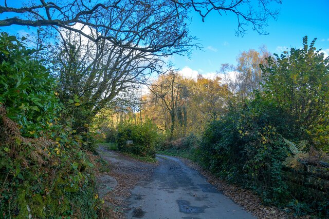
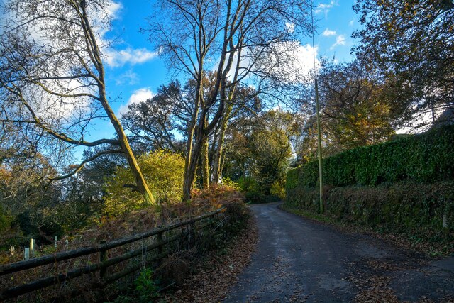
Manaton is a picturesque village located in the heart of Dartmoor National Park in Devon, England. It is renowned for its stunning natural beauty, rich history, and charming architectural heritage. The village is nestled amidst rolling hills, lush green valleys, and ancient woodlands, offering visitors a captivating glimpse into rural English life.
One of the standout features of Manaton is its historic church, St. Winifred's. Dating back to the 13th century, this beautiful stone church showcases exquisite medieval architecture and is a popular attraction for visitors interested in religious history. The church is surrounded by a peaceful churchyard, providing a serene and reflective atmosphere.
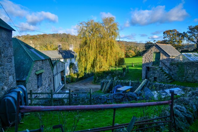
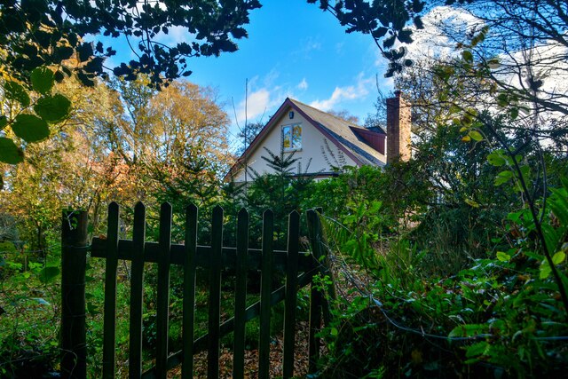
Manaton also boasts an impressive collection of traditional Dartmoor granite cottages, which are an architectural highlight of the village. These charming dwellings, with their thatched roofs and quaint gardens, provide a glimpse into the area's rich historical past.
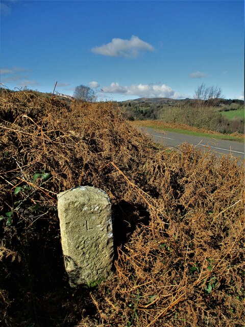
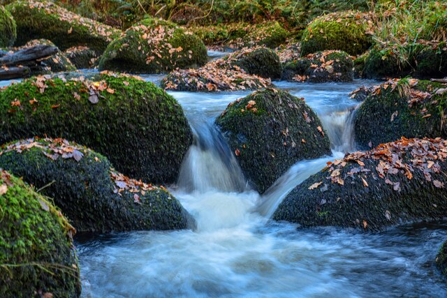
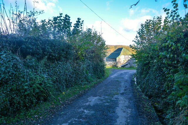
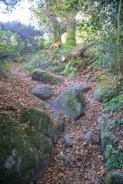
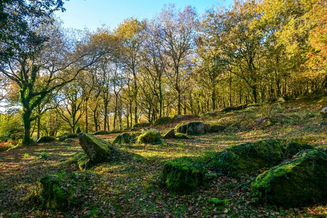
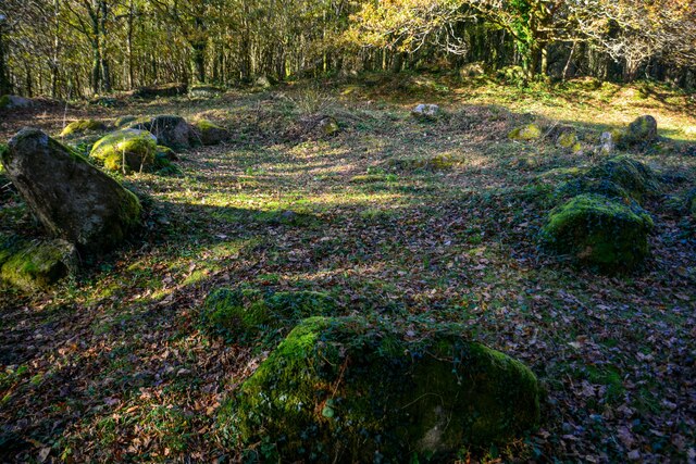
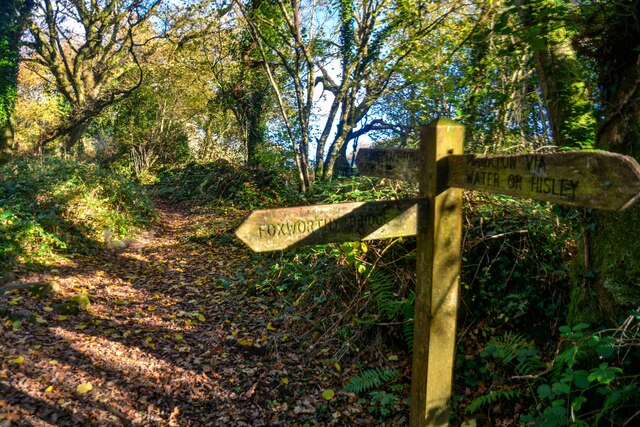
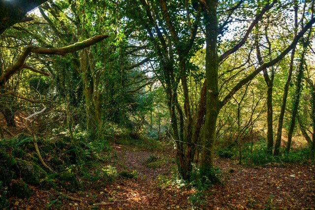
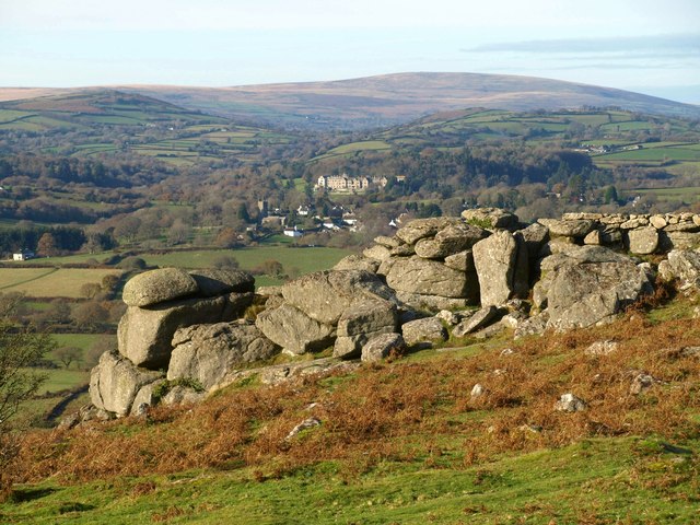
Nature enthusiasts will find themselves in paradise in Manaton, as the village offers easy access to the breathtaking landscapes of Dartmoor National Park. Rolling moorland, crystal-clear rivers, and ancient woodlands provide endless opportunities for hiking, picnicking, and wildlife spotting.
The village is also home to several quaint tearooms, charming pubs, and local shops, where visitors can indulge in traditional Devonshire cream teas or purchase handmade crafts and souvenirs.
In conclusion, Manaton is a hidden gem in the Devon countryside, offering an idyllic blend of natural beauty, historic architecture, and traditional village life. Its rich heritage and picturesque landscapes make it a must-visit destination for those seeking an authentic English experience.
If you have any feedback on the listing, please let us know in the comments section below.
Manaton Images
Images are sourced within 2km of 50.613/-3.756 or Grid Reference SX7580. Thanks to Geograph Open Source API. All images are credited.


Manaton is located at Grid Ref: SX7580 (Lat: 50.613, Lng: -3.756)
Administrative County: Devon
District: Teignbridge
Police Authority: Devon and Cornwall
What 3 Words
///publisher.diverged.flight. Near Moretonhampstead, Devon
Nearby Locations
Related Wikis
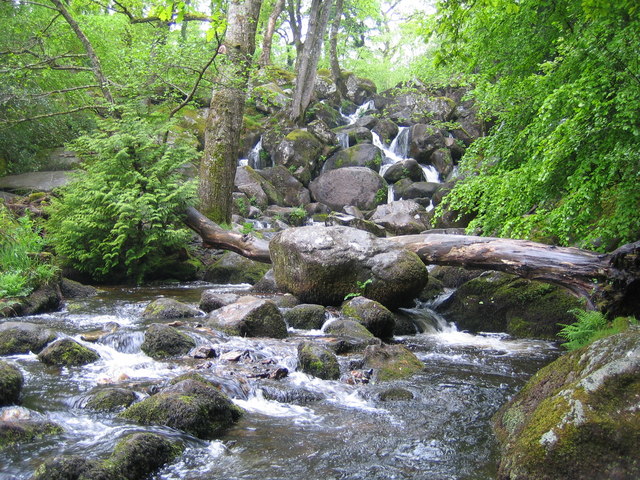
Becky Falls
Becky Falls, originally known as Becka Falls, is a tourist attraction in Dartmoor, England, centered on a waterfall of around 20 metres down a boulder...
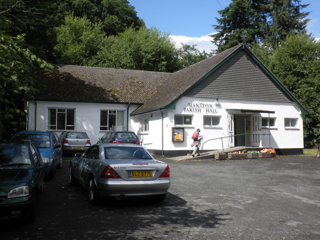
Manaton
Manaton is a village situated to the southeast of Dartmoor National Park, Devon, England. The 15th-century church, located in a prominent spot due north...
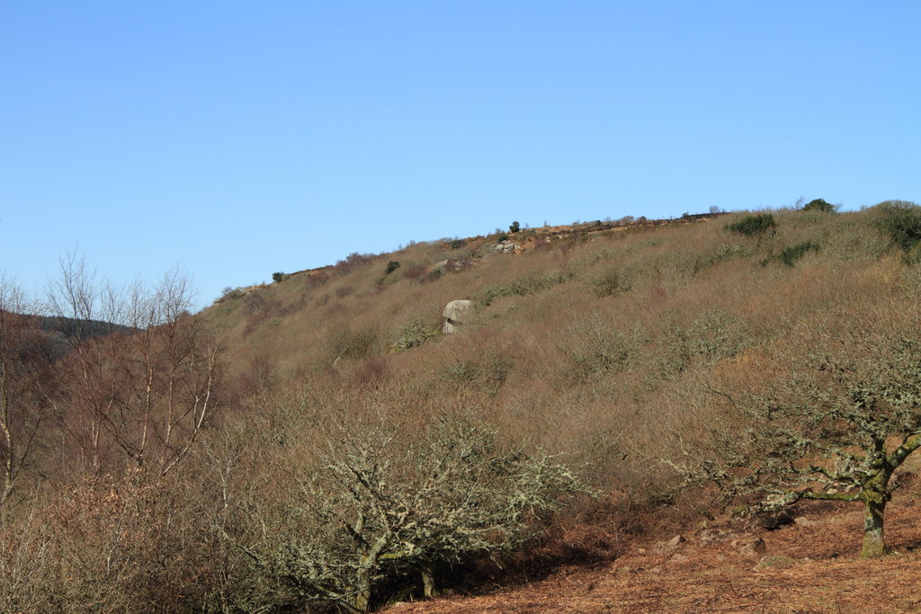
Lustleigh Cleave
The Lustleigh Cleave is a steep sided valley above the River Bovey in the parish of Lustleigh on Dartmoor. The cleave has been noted for its beauty since...
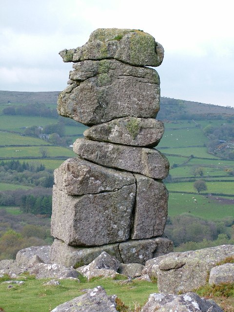
Bowerman's Nose
Bowerman's Nose is a stack of weathered granite on Dartmoor, Devon, England. It is situated on the northern slopes of Hayne Down, about a mile from Hound...
Hunter's Tor, Lustleigh Cleave
Hunter's Tor is a granite tor located in the parish of Lustleigh, on Dartmoor. It is one of two tors with the same name, the other being in the Teign Gorge...

Hundatorra
Hundatorra or Hundetorre is a deserted medieval village near Hound Tor on Dartmoor, Devon. The site has seen two periods of historic occupation, the first...
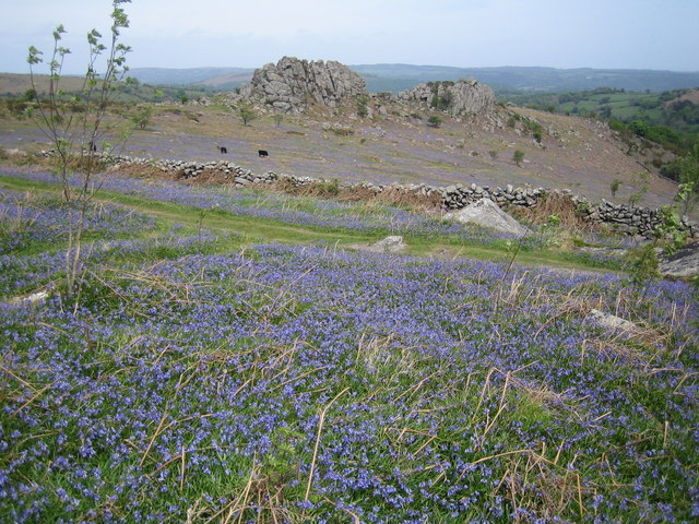
Greator Rocks
Greator Rocks, Greater, or Grea Tor, is a dramatic granite tor on Dartmoor, England. It is a common climbing tor, like nearby Hound Tor. It is 371m above...
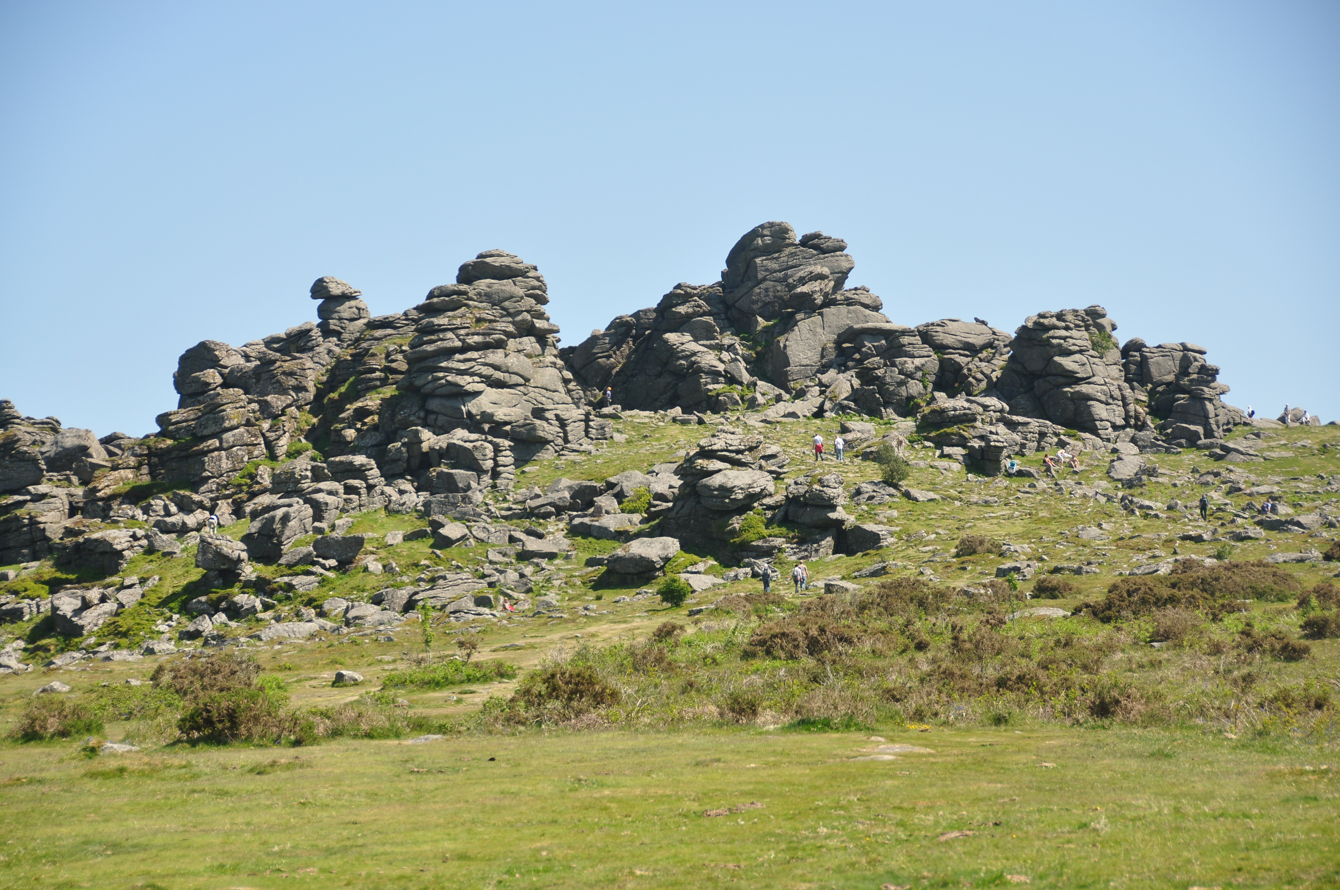
Hound Tor
Hound Tor is a tor on Dartmoor, Devon, England and is a good example of a heavily weathered granite outcrop. It is easily accessible, situated within a...
Nearby Amenities
Located within 500m of 50.613,-3.756Have you been to Manaton?
Leave your review of Manaton below (or comments, questions and feedback).