Blandacombe Copse
Wood, Forest in Devon Mid Devon
England
Blandacombe Copse
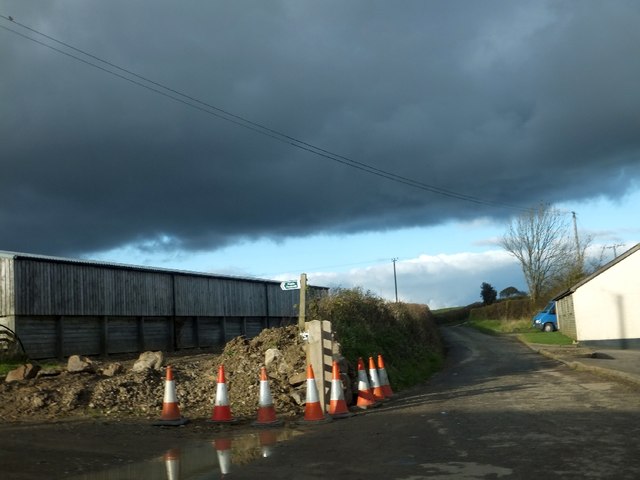
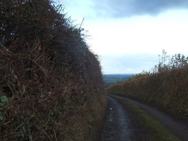
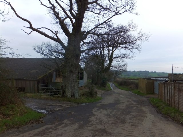
Blandacombe Copse is a picturesque woodland located in Devon, England. Situated near the village of Chudleigh, this ancient forest covers approximately 40 hectares of land. The copse is part of the larger Haldon Forest Park, which encompasses a total area of 3,500 hectares.
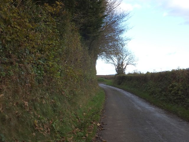
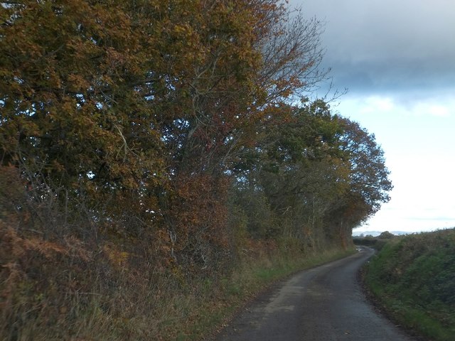
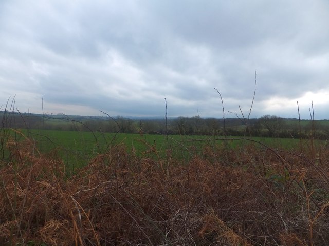
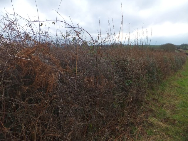
Blandacombe Copse is characterized by its diverse range of tree species, including oak, beech, and silver birch. The forest floor is adorned with a rich array of flora, such as bluebells, foxgloves, and wild garlic, creating a vibrant and colorful landscape during the spring and summer months.
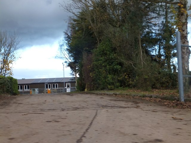
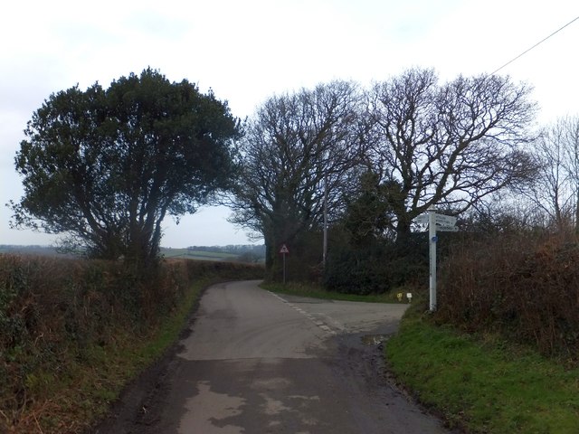
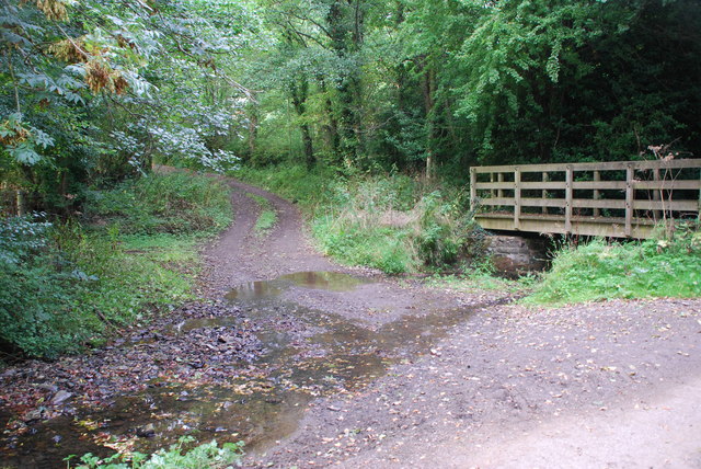
This woodland is renowned for its tranquil atmosphere and natural beauty, attracting nature enthusiasts, hikers, and photographers alike. The copse offers numerous walking trails, allowing visitors to explore its winding paths and discover its hidden treasures. As visitors wander through the forest, they may encounter a variety of wildlife, including deer, squirrels, and a wide range of bird species, making it a haven for nature lovers.
Blandacombe Copse also has a fascinating history. It is believed to have been in existence for centuries, with evidence of human activity dating back to the Bronze Age. The woodland was once used for timber production and charcoal burning, reflecting its importance to the local economy in the past.
Today, Blandacombe Copse remains a cherished natural gem in Devon. Its peaceful ambiance, diverse ecosystem, and historical significance make it a must-visit destination for those seeking a connection with nature and a deeper appreciation for the region's natural heritage.
If you have any feedback on the listing, please let us know in the comments section below.
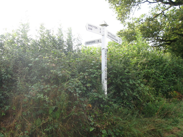
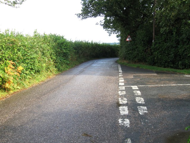
Blandacombe Copse Images
Images are sourced within 2km of 50.746541/-3.7886683 or Grid Reference SX7395. Thanks to Geograph Open Source API. All images are credited.
Blandacombe Copse is located at Grid Ref: SX7395 (Lat: 50.746541, Lng: -3.7886683)
Administrative County: Devon
District: Mid Devon
Police Authority: Devon and Cornwall
What 3 Words
///importing.daydreams.unfit. Near Bow, Devon
Nearby Locations
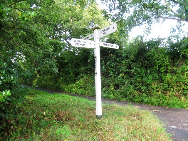
Related Wikis

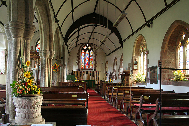
St Andrew's Church, Hittisleigh
St Andrew's Church, Hittisleigh, is an Anglican parish church in Hittisleigh in Mid Devon. It is listed Grade I on the National Heritage List for England...
Hittisleigh
Hittisleigh is a small rural parish and village just north-east of Dartmoor in Devon. Once part of the ancient district of the Wonford Hundred, it is now...

Crockernwell
Crockernwell is a small village with a Methodist church. It is located 2 miles west of Cheriton Bishop and 12 miles west of Exeter, Devon, England. �...

Spreyton
Spreyton is a small rural village just north of Dartmoor in Devon, England. Spreyton is famous for its connection to the tale of “Old Uncle Tom Cobley...
Cheriton Bishop
Cheriton Bishop is a village and civil parish situated on the northern borders of Dartmoor National park between Exeter and Okehampton, in Devon, England...
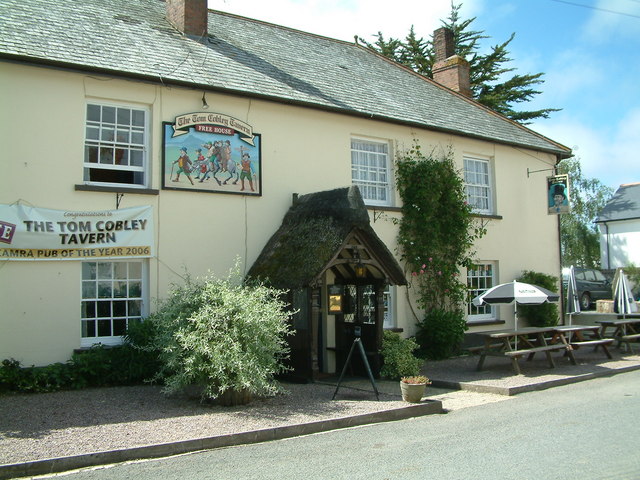
Tom Cobley Tavern
The Tom Cobley Tavern is a pub in Spreyton, Devon, England. It dates back to the 16th century, and may be the 1802 starting point of Uncle Tom Cobley and...
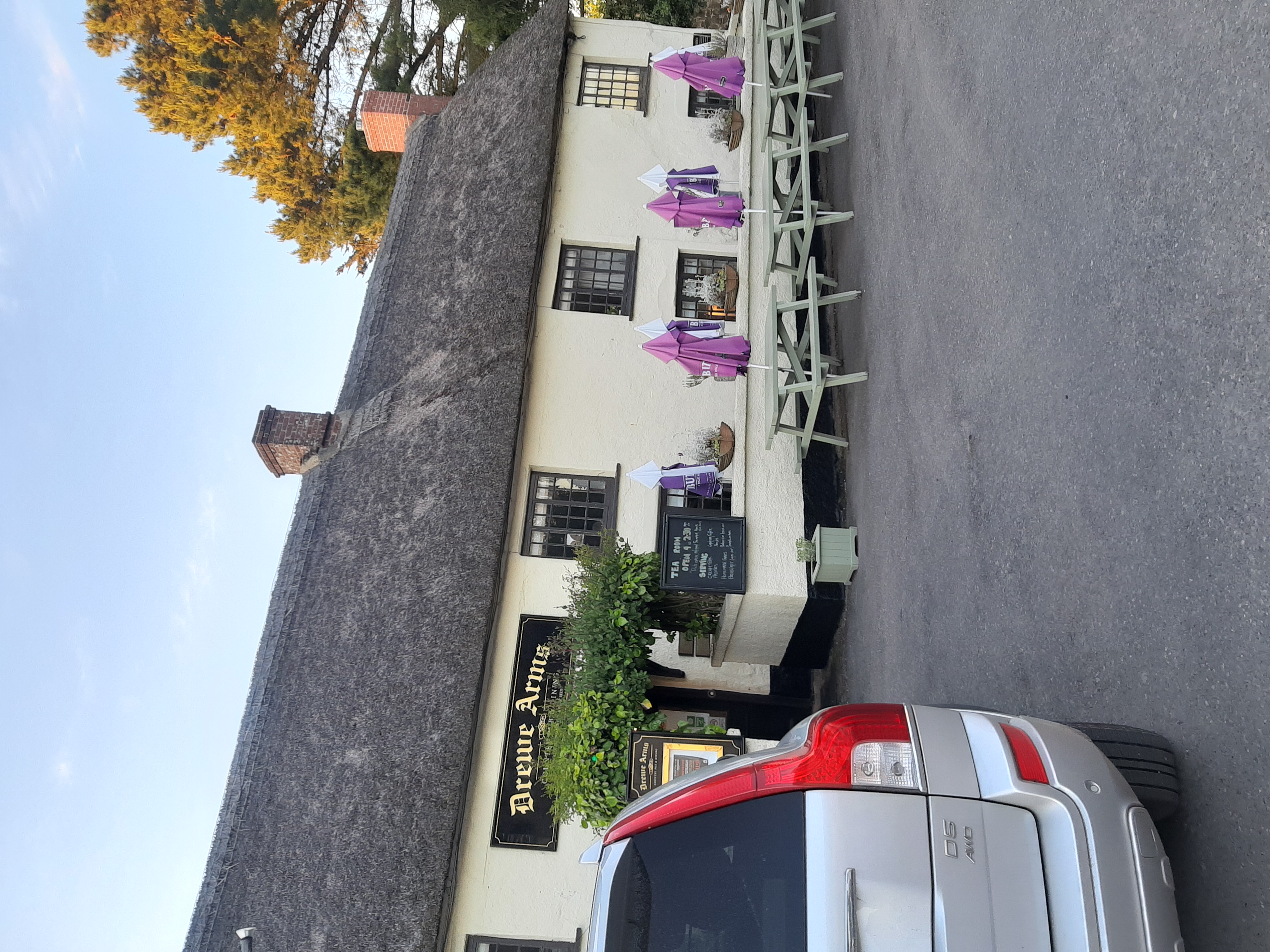
Drewe Arms, Drewsteignton
The Drewe Arms is a Grade II* listed public house on the north side of The Square in Drewsteignton, Devon. Built in the 17th century, the building was...

Drewsteignton
Drewsteignton is a village, civil parish and former manor within the administrative area of West Devon, England, also lying within the Dartmoor National...
Have you been to Blandacombe Copse?
Leave your review of Blandacombe Copse below (or comments, questions and feedback).