Hittisleigh Barton
Settlement in Devon Mid Devon
England
Hittisleigh Barton
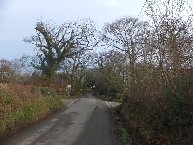
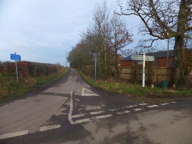
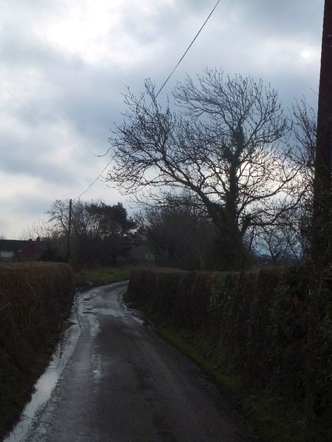
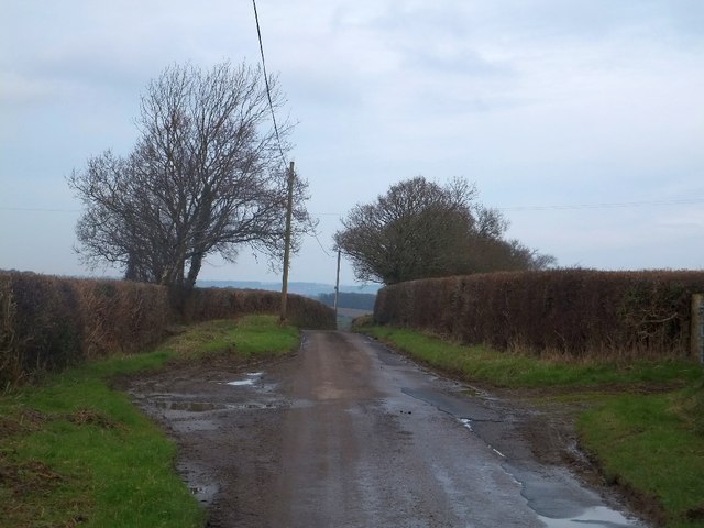
Hittisleigh Barton is a small hamlet located in the county of Devon, England. Situated in the picturesque Teign Valley, it is surrounded by rolling hills and lush green countryside. The hamlet is part of the civil parish of Hittisleigh, which also includes the nearby settlements of Hittisleigh and Lower Hittisleigh.
Hittisleigh Barton itself is characterized by its charming rural atmosphere and traditional architecture. The heart of the hamlet is defined by a cluster of historic buildings, including a 16th-century manor house, which is now a private residence. The manor house is known for its beautiful thatched roof and timber-framed construction, reflecting the area's rich history.
The hamlet is predominantly residential, with a small number of houses and cottages scattered across the countryside. This tranquil environment offers a sense of peace and seclusion, making it an attractive destination for those seeking a rural retreat.
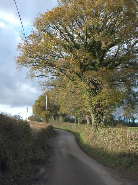
The surrounding area offers plenty of opportunities for outdoor activities and exploration. The nearby Teign Valley provides scenic walking and cycling trails, allowing visitors to immerse themselves in the natural beauty of the region. Additionally, the River Teign runs through the valley, offering opportunities for fishing and other water-based activities.
Hittisleigh Barton is a hidden gem in Devon, offering a peaceful and idyllic setting for those looking to escape the hustle and bustle of city life. With its historic charm and stunning natural surroundings, it is a place that truly captures the essence of rural England.
If you have any feedback on the listing, please let us know in the comments section below.
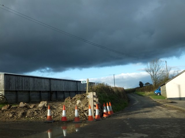
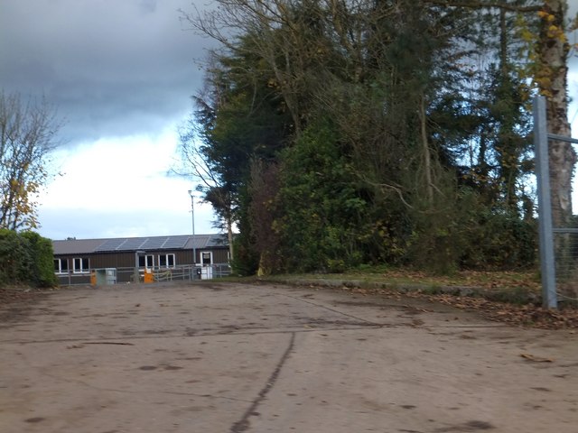
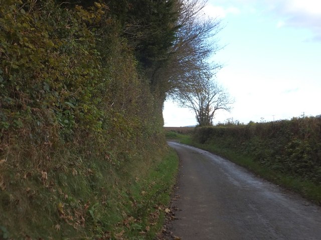
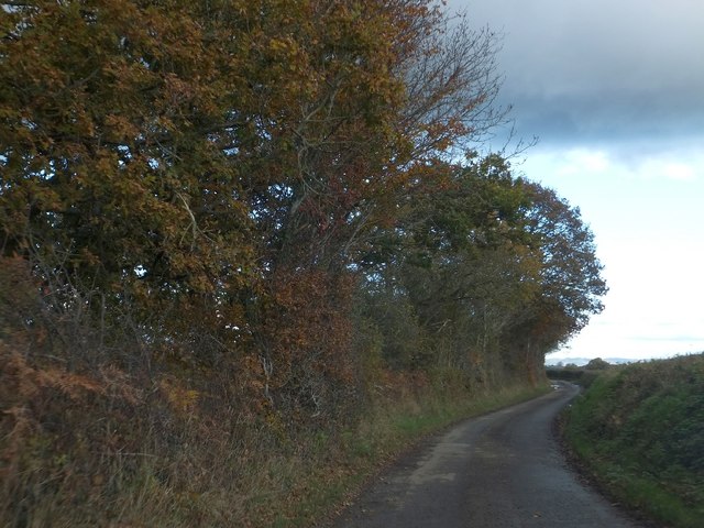
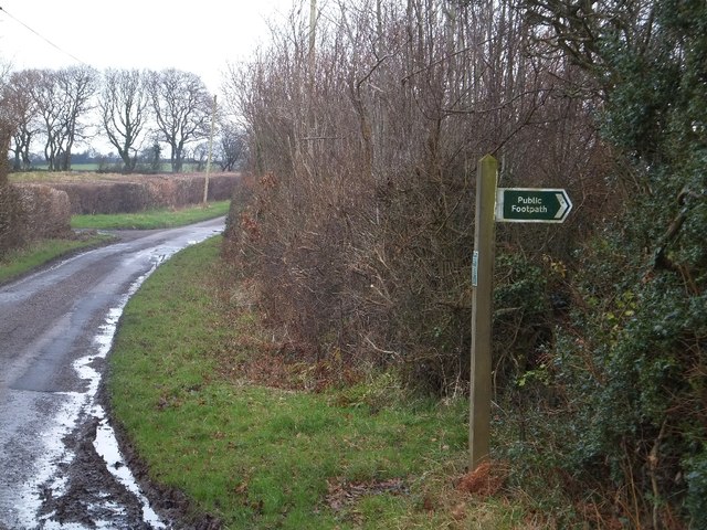
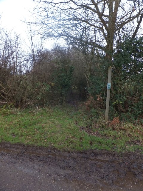
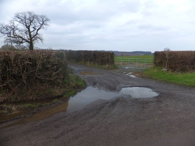
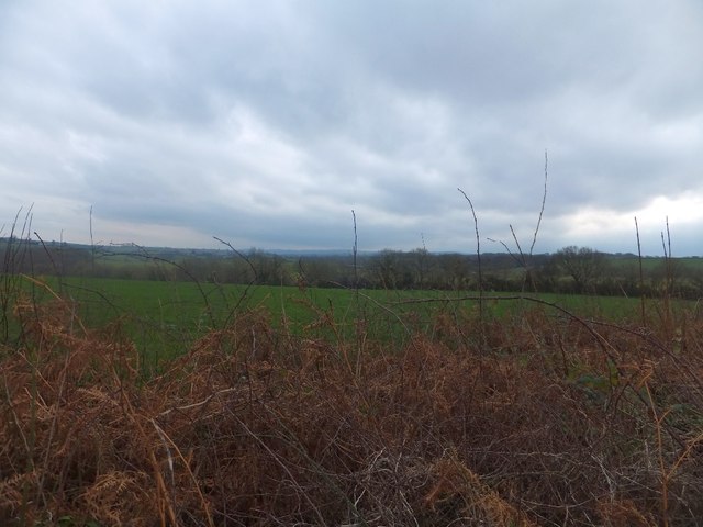
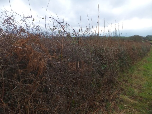
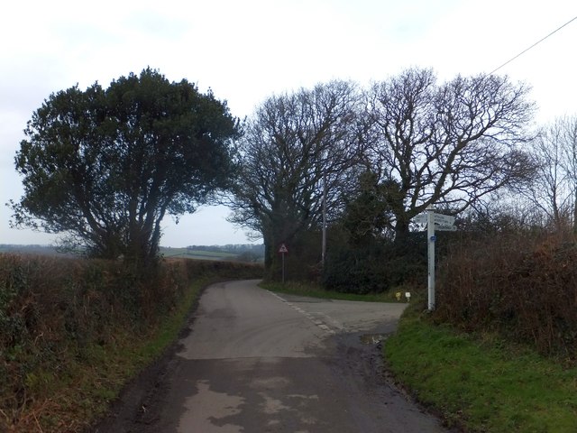
Hittisleigh Barton Images
Images are sourced within 2km of 50.744522/-3.7953667 or Grid Reference SX7395. Thanks to Geograph Open Source API. All images are credited.
Hittisleigh Barton is located at Grid Ref: SX7395 (Lat: 50.744522, Lng: -3.7953667)
Administrative County: Devon
District: Mid Devon
Police Authority: Devon and Cornwall
What 3 Words
///gossiping.willing.windows. Near Bow, Devon
Nearby Locations
Related Wikis

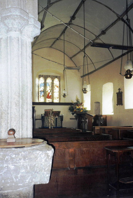
St Andrew's Church, Hittisleigh
St Andrew's Church, Hittisleigh, is an Anglican parish church in Hittisleigh in Mid Devon. It is listed Grade I on the National Heritage List for England...
Hittisleigh
Hittisleigh is a small rural parish and village just north-east of Dartmoor in Devon. Once part of the ancient district of the Wonford Hundred, it is now...

Spreyton
Spreyton is a small rural village just north of Dartmoor in Devon, England. Spreyton is famous for its connection to the tale of “Old Uncle Tom Cobley...

Crockernwell
Crockernwell is a small village with a Methodist church. It is located 2 miles west of Cheriton Bishop and 12 miles west of Exeter, Devon, England. �...
Nearby Amenities
Located within 500m of 50.744522,-3.7953667Have you been to Hittisleigh Barton?
Leave your review of Hittisleigh Barton below (or comments, questions and feedback).