Hittisleigh
Settlement in Devon Mid Devon
England
Hittisleigh
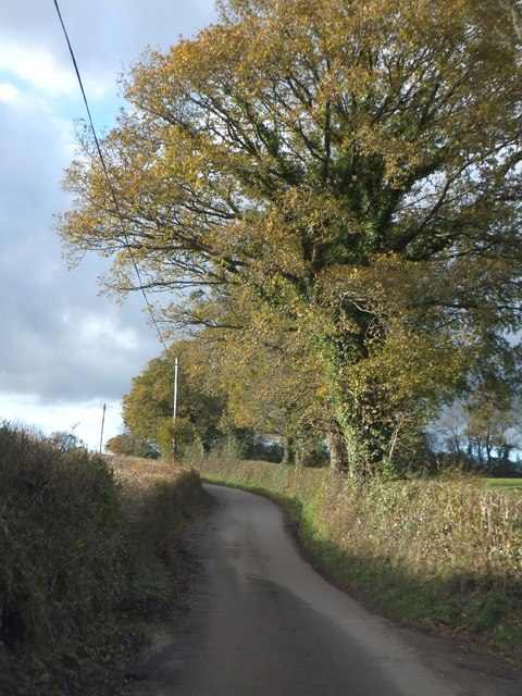
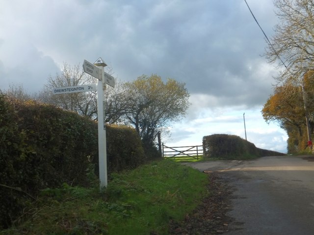
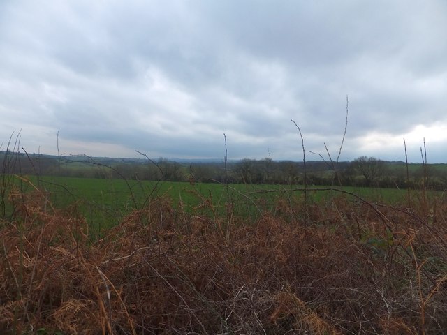
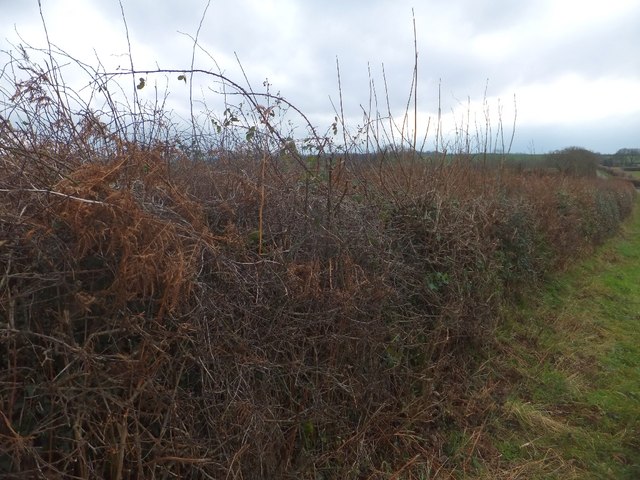
Hittisleigh is a small village located in the Teignbridge district of Devon, England. Situated approximately 9 miles west of Exeter, it lies on the eastern edge of Dartmoor National Park. The village is nestled within a picturesque rural landscape, surrounded by rolling hills and fields, offering residents and visitors a tranquil and idyllic setting.
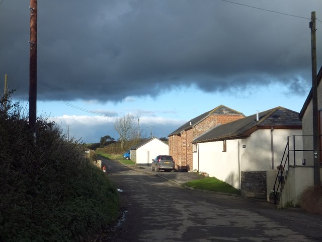
Hittisleigh is a close-knit community with a population of around 250 people. The village boasts a rich history, with evidence of human settlement dating back to the Bronze Age. The architecture of Hittisleigh reflects its historical roots, featuring a charming mix of traditional thatched cottages, stone houses, and old farm buildings.
The village is well-served by amenities, including a primary school, a village hall, and a pub, which serves as a social hub for locals. The surrounding area provides ample opportunities for outdoor activities, such as hiking, cycling, and horseback riding, thanks to its proximity to Dartmoor National Park. The park offers breathtaking natural beauty and a diverse range of wildlife, making it popular among nature enthusiasts and tourists alike.
Hittisleigh benefits from its rural location while still being within easy reach of larger towns and cities. The nearby city of Exeter provides a range of facilities, including shopping centers, entertainment venues, and further educational opportunities.
Overall, Hittisleigh offers a peaceful and picturesque lifestyle, ideal for those seeking a close community in a rural setting, while still being within reach of urban amenities and the stunning natural beauty of Dartmoor National Park.
If you have any feedback on the listing, please let us know in the comments section below.
Hittisleigh Images
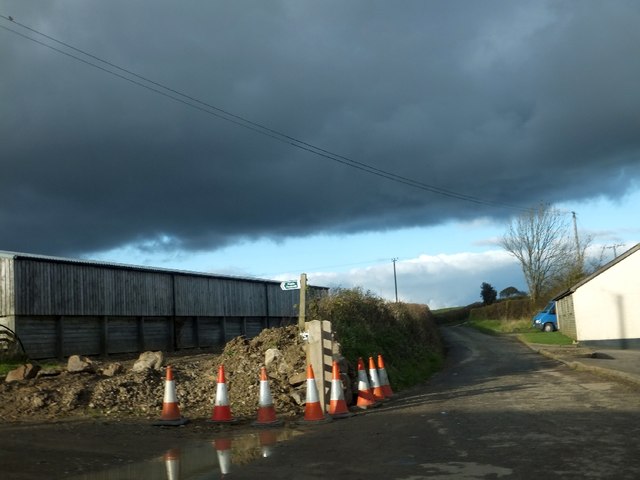
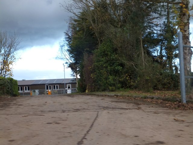
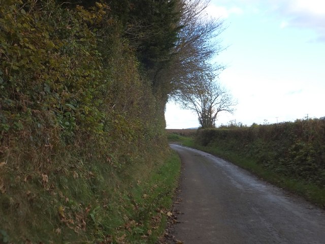
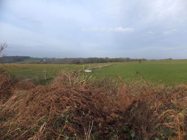
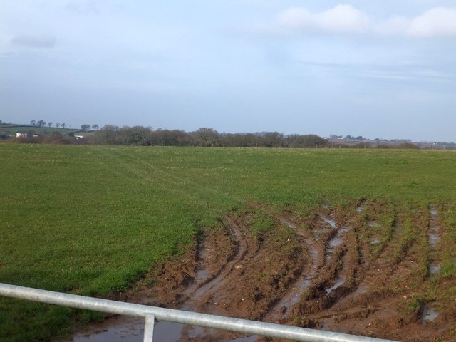
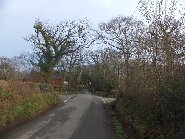
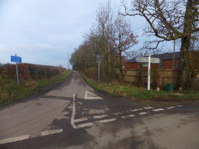
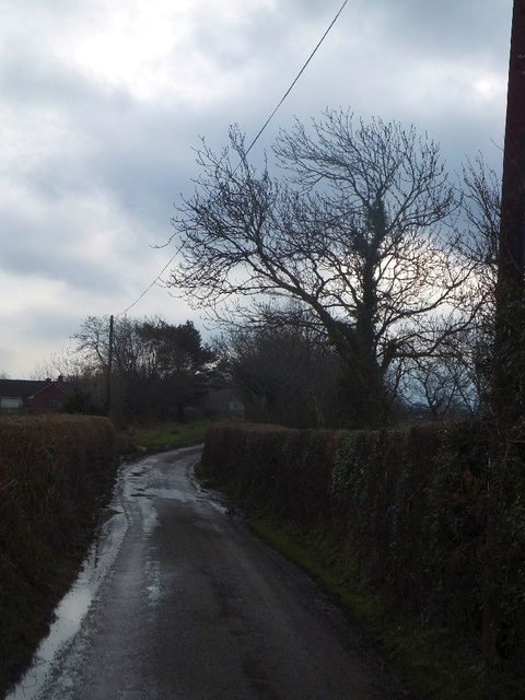
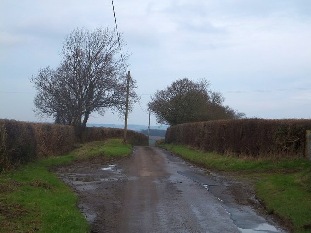
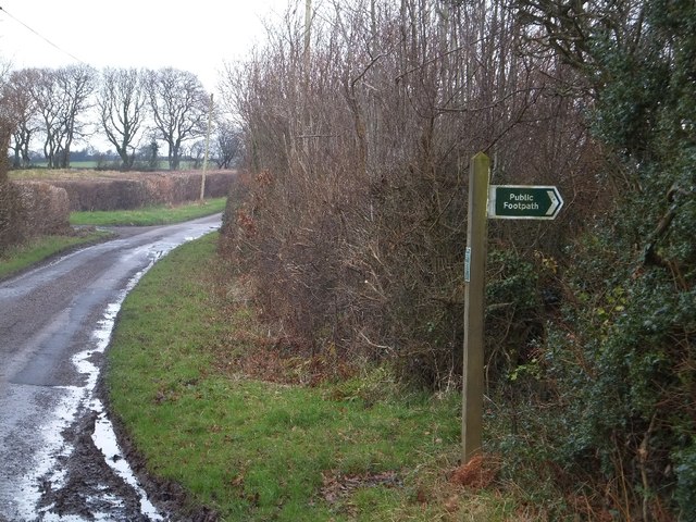
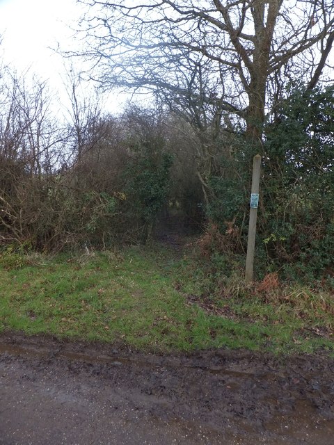
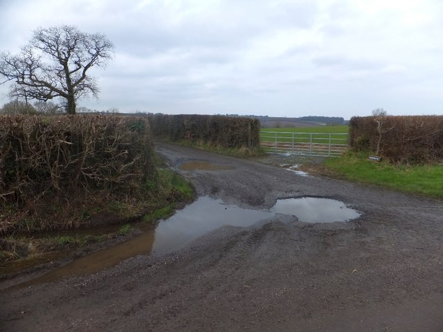
Images are sourced within 2km of 50.741067/-3.7978424 or Grid Reference SX7395. Thanks to Geograph Open Source API. All images are credited.
Hittisleigh is located at Grid Ref: SX7395 (Lat: 50.741067, Lng: -3.7978424)
Administrative County: Devon
District: Mid Devon
Police Authority: Devon and Cornwall
What 3 Words
///nuzzling.pressing.trials. Near Bow, Devon
Nearby Locations
Related Wikis

Hittisleigh
Hittisleigh is a small rural parish and village just north-east of Dartmoor in Devon. Once part of the ancient district of the Wonford Hundred, it is now...
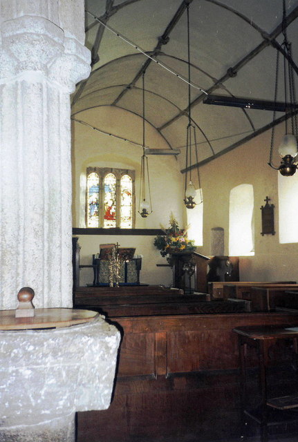
St Andrew's Church, Hittisleigh
St Andrew's Church, Hittisleigh, is an Anglican parish church in Hittisleigh in Mid Devon. It is listed Grade I on the National Heritage List for England...

Spreyton
Spreyton is a small rural village just north of Dartmoor in Devon, England. Spreyton is famous for its connection to the tale of “Old Uncle Tom Cobley...

Crockernwell
Crockernwell is a small village with a Methodist church. It is located 2 miles west of Cheriton Bishop and 12 miles west of Exeter, Devon, England. �...
Nearby Amenities
Located within 500m of 50.741067,-3.7978424Have you been to Hittisleigh?
Leave your review of Hittisleigh below (or comments, questions and feedback).