Great Wood
Wood, Forest in Devon North Devon
England
Great Wood

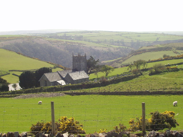
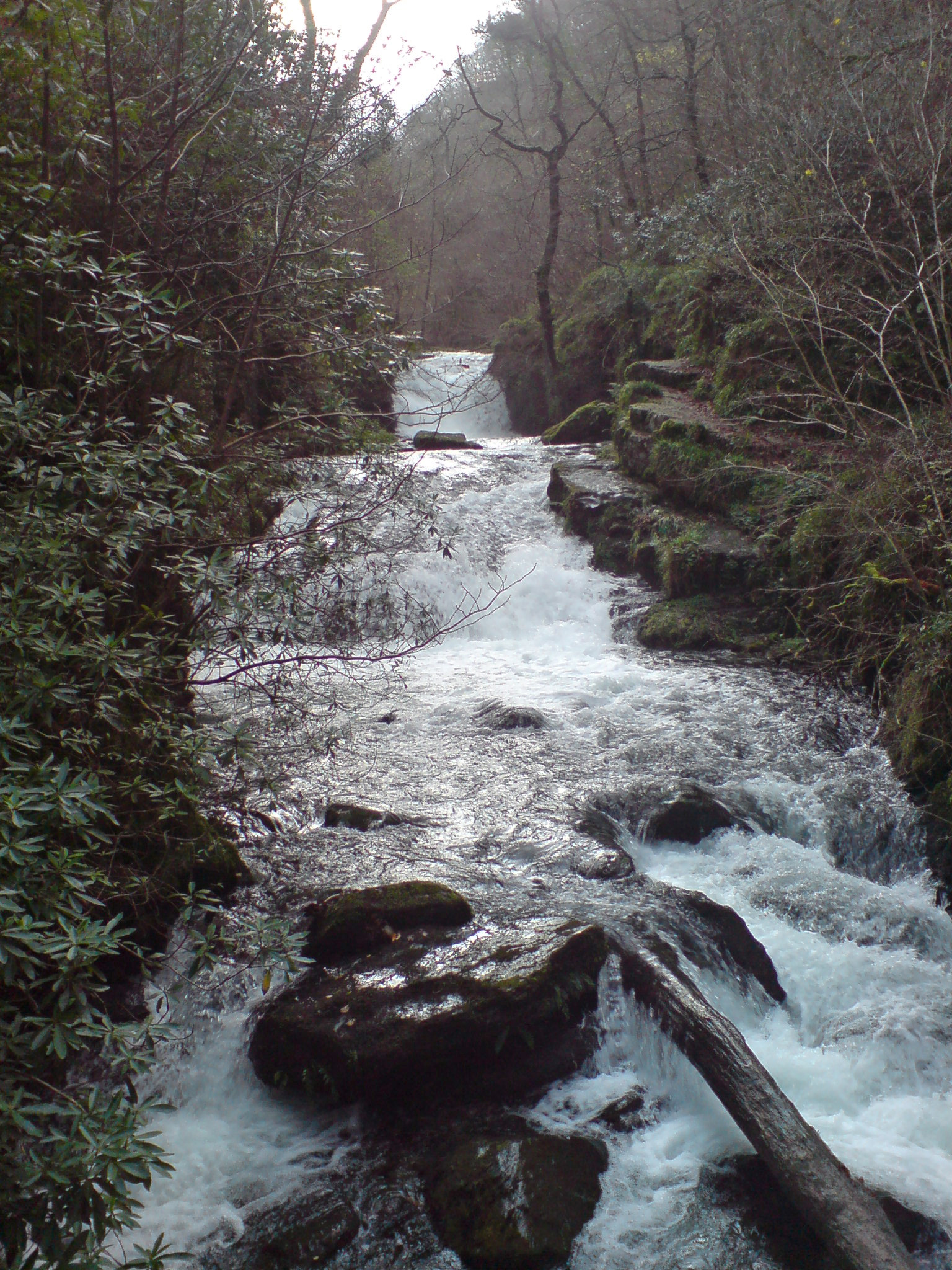
Great Wood is a picturesque forest located in the county of Devon, England. Stretching over an area of approximately 3,500 acres, it is one of the largest woodlands in the region. The forest is situated near the village of Moretonhampstead, nestled within the eastern fringes of Dartmoor National Park.
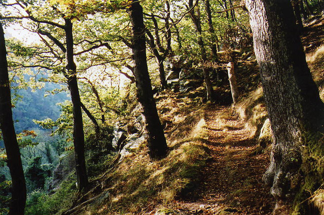
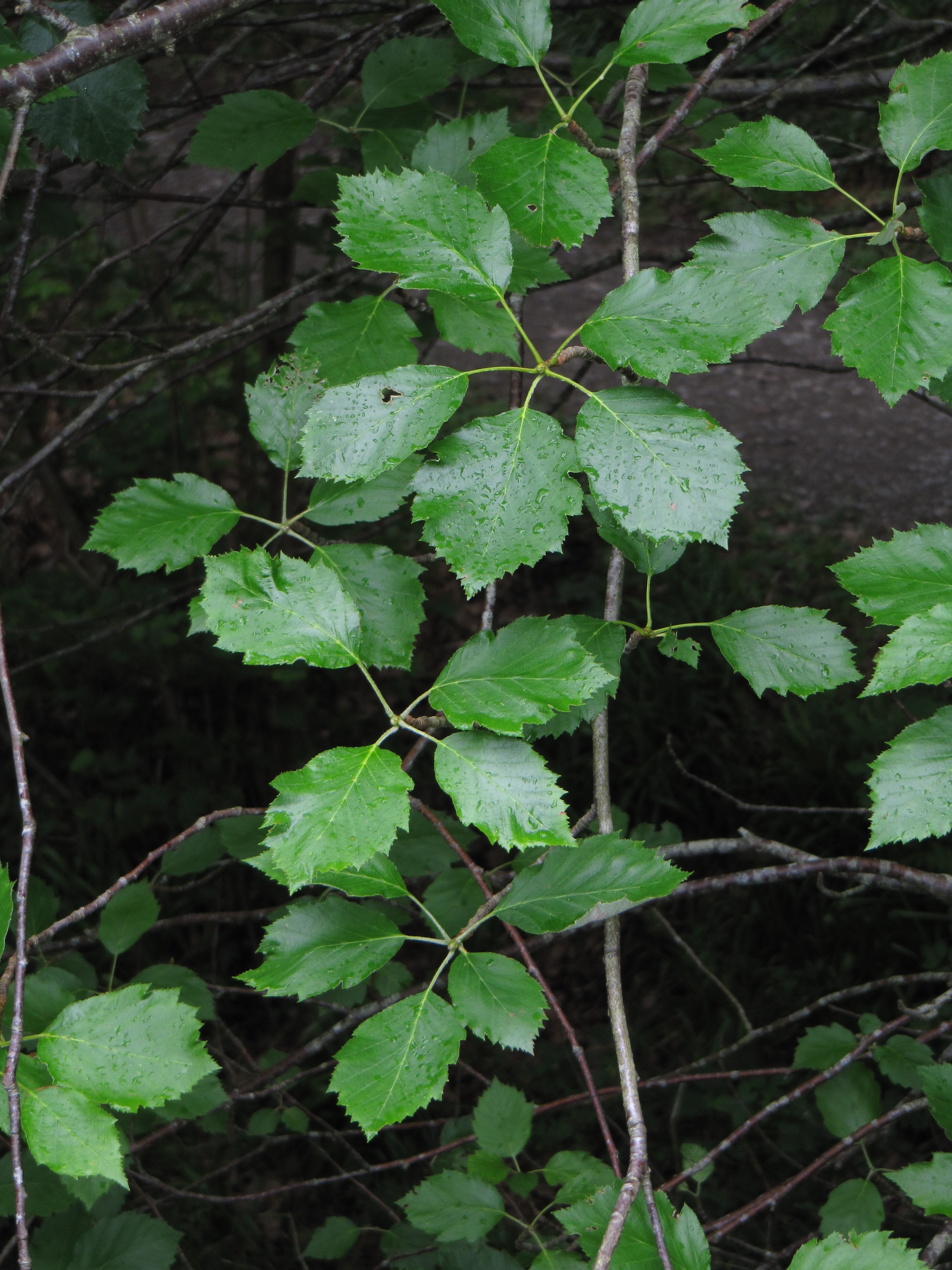
Great Wood is renowned for its diverse and rich flora and fauna, making it a popular destination for nature enthusiasts and hikers alike. The forest is predominantly composed of oak and beech trees, creating a beautiful canopy that provides shelter to a variety of wildlife. Visitors can witness a vibrant display of colors during autumn, as the foliage transforms into a spectacular combination of reds, yellows, and oranges.
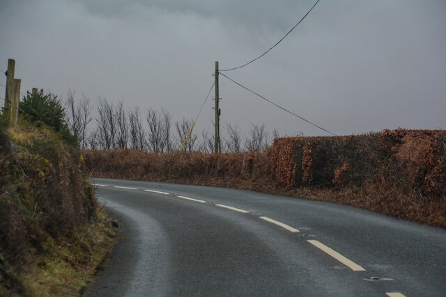
The forest is crisscrossed with well-maintained trails, allowing visitors to explore its beauty on foot. These paths lead to hidden gems such as ancient ruins, tranquil ponds, and small streams. Additionally, the forest offers stunning panoramic views of the surrounding countryside, making it a favorite spot for photographers and artists.
Great Wood is also home to a diverse range of animal species, including deer, badgers, foxes, and various bird species. Birdwatchers can spot rare and migratory birds such as woodpeckers, nightjars, and buzzards. The forest provides a natural habitat for these creatures, ensuring their conservation and protection.
Overall, Great Wood in Devon offers a serene and enchanting experience for nature lovers, providing an ideal escape from the hustle and bustle of everyday life.
If you have any feedback on the listing, please let us know in the comments section below.
Great Wood Images
Images are sourced within 2km of 51.213603/-3.8067267 or Grid Reference SS7347. Thanks to Geograph Open Source API. All images are credited.


Great Wood is located at Grid Ref: SS7347 (Lat: 51.213603, Lng: -3.8067267)
Administrative County: Devon
District: North Devon
Police Authority: Devon and Cornwall
What 3 Words
///illogical.inched.anyone. Near Lynton, Devon
Nearby Locations
Related Wikis
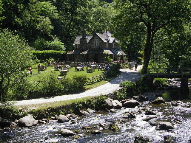
Watersmeet House
Watersmeet House is a National Trust property located some 1.8 miles (2.9 km) east of Lynmouth, in the English county of Devon. A former fishing lodge...
Hoar Oak Water
Hoar Oak Water is a moorland tributary of the East Lyn River in Exmoor, Somerset, England. It rises at Hoaroak Hill in the Chains geological site and flows...

Myrtlebury
Myrtlebury is an Iron Age enclosure or 'spur' hill fort situated close to Lynmouth in Devon, England. The fort is effectively the north east of a hillside...
Karpatiosorbus admonitor
Karpatiosorbus admonitor, previously classified as Sorbus admonitor and also called the no parking whitebeam, is a species of whitebeam tree found in Devon...
Nearby Amenities
Located within 500m of 51.213603,-3.8067267Have you been to Great Wood?
Leave your review of Great Wood below (or comments, questions and feedback).