Canny Park Wood

Wood, Forest in Devon South Hams

England

Canny Park Wood

Lane to Moreleigh From beside Back Road Cross <a href="https://www.geograph.org.uk/photo/4098623">SX7552 : Back Road Cross</a>.
Lane to Moreleigh Credit: Derek Harper

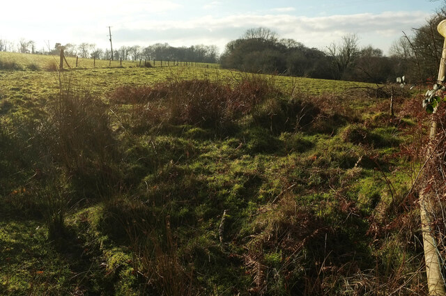
Canny Park Wood is a picturesque woodland located in the county of Devon, England. Situated near the village of Canny Park, this forested area covers a vast expanse of approximately 100 acres. It is a popular destination for nature lovers and outdoor enthusiasts, offering a serene and tranquil environment for visitors to explore and enjoy.

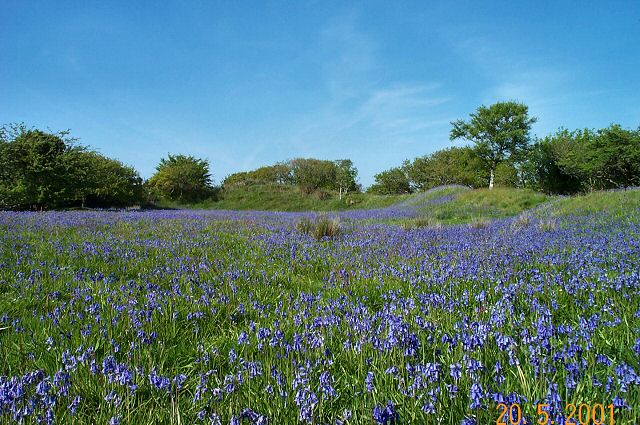
The woodland is characterized by a rich diversity of flora and fauna, making it an important habitat for wildlife. The canopy of the wood is dominated by a variety of deciduous trees, including oak, beech, and birch, creating a vibrant and colorful landscape throughout the seasons. Underneath these towering giants, a dense understory of shrubs, ferns, and wildflowers thrives, providing shelter and food for a range of animals.

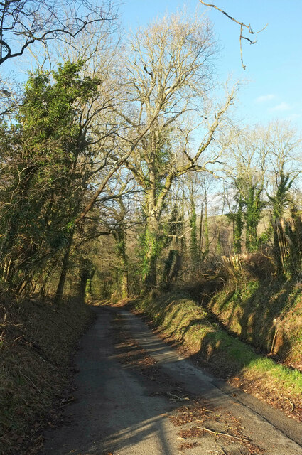
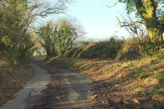
Numerous walking trails wind their way through Canny Park Wood, allowing visitors to immerse themselves in the natural beauty of the surroundings. These paths are well-maintained and offer stunning views of the woodland, making it a perfect spot for leisurely strolls, dog walking, or even picnicking.

In addition to its natural beauty, Canny Park Wood also holds historical significance. The area was once part of a larger estate and has remnants of ancient boundaries and boundaries, adding an intriguing element to the wood's charm.

Overall, Canny Park Wood is a delightful destination for anyone seeking solace in nature. With its diverse ecosystem, well-maintained trails, and historical relevance, it offers a unique and enriching experience for visitors of all ages.

If you have any feedback on the listing, please let us know in the comments section below.

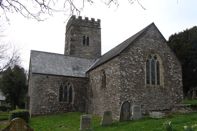
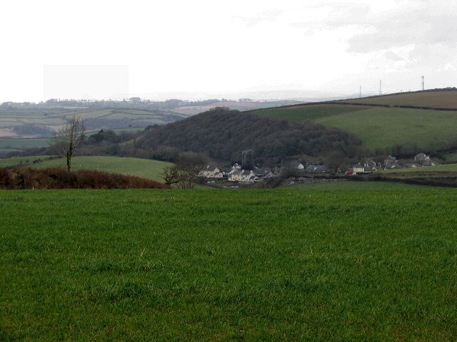
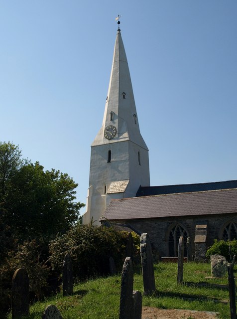
Canny Park Wood Images

Images are sourced within 2km of 50.36281/-3.7741993 or Grid Reference SX7352. Thanks to Geograph Open Source API. All images are credited.

Lane to Moreleigh From beside Back Road Cross <a href="https://www.geograph.org.uk/photo/4098623">SX7552 : Back Road Cross</a>.
Lane to Moreleigh
From beside Back Road Cross SX7552 : Back Road Cross.
Road past Springfield Farm Unlike most other roads in the area, which are best described as lanes, this is quite a highway, leading from Gara bridge to Moreleigh.
Road past Springfield Farm
Unlike most other roads in the area, which are best described as lanes, this is quite a highway, leading from Gara bridge to Moreleigh.
Storridge Court Farm From the public access route to Cleave.
Storridge Court Farm
From the public access route to Cleave.
Canny Park Wood From a lane near High Marks Barn across a field.
Canny Park Wood
From a lane near High Marks Barn across a field.
Towards Preston One of at least 25 Prestons across England. The buildings that you can see are around Preston Farm.
Towards Preston
One of at least 25 Prestons across England. The buildings that you can see are around Preston Farm.
Lane at Topsham Bridge The lane soon climbs away from the River Avon to Combe Cross on the B3196.
Lane at Topsham Bridge
The lane soon climbs away from the River Avon to Combe Cross on the B3196.
Back Road Cross More than 16 years after the summer scene in <a href="https://www.geograph.org.uk/photo/3038337">SX7552 : Back Road Cross</a>.
Back Road Cross
More than 16 years after the summer scene in SX7552 : Back Road Cross.
Field near Springfield Farm With a cattle feed supplement tub.
Field near Springfield Farm
With a cattle feed supplement tub.
Field near Springfield Farm Looking right from <a href="https://www.geograph.org.uk/photo/7392007">SX7452 : Field near Springfield Farm</a>.
Field near Springfield Farm
Entrance, Springfield Farm With a wood in the background.
Entrance, Springfield Farm
With a wood in the background.
Across the Cock's Brook valley From where <a href="https://www.geograph.org.uk/photo/7387182">SX7353 : Storridge Court Farm</a> was taken, looking over Emeridge Wood and an unnamed plantation towards Curtisknowle.
Across the Cock's Brook valley
From where SX7353 : Storridge Court Farm was taken, looking over Emeridge Wood and an unnamed plantation towards Curtisknowle.
Across the Cock's Brook valley Looking right from <a href="https://www.geograph.org.uk/photo/7392915">SX7353 : Across the Cock's Brook valley</a>.
Across the Cock's Brook valley
Road past Storridge Court Farm Beginning a long ascent to Moreleigh.
Road past Storridge Court Farm
Beginning a long ascent to Moreleigh.
Lane, Upper Common The lane from Preston Combe descending into the Avon valley.
Lane, Upper Common
The lane from Preston Combe descending into the Avon valley.
Pasture by Upper Common Looking left from <a href="https://www.geograph.org.uk/photo/7392936">SX7352 : Lane, Upper Common</a> towards the Avon valley.
Pasture by Upper Common
Looking left from SX7352 : Lane, Upper Common towards the Avon valley.
Pasture by Upper Common Looking left from <a href="https://www.geograph.org.uk/photo/7393430">SX7352 : Pasture by Upper Common</a>. In the background is Storridge Wood.
Pasture by Upper Common
Looking left from SX7352 : Pasture by Upper Common. In the background is Storridge Wood.
Lane near High Marks Barn A lane leading down to the Avon valley from Preston Combe.
Lane near High Marks Barn
A lane leading down to the Avon valley from Preston Combe.
Shadows near High Marks Barn From a gateway on the right of <a href="https://www.geograph.org.uk/photo/7393564">SX7352 : Lane near High Marks Barn</a>, with a view over the Cock's Brook valley.
Shadows near High Marks Barn
From a gateway on the right of SX7352 : Lane near High Marks Barn, with a view over the Cock's Brook valley.
Show me another place!

Canny Park Wood is located at Grid Ref: SX7352 (Lat: 50.36281, Lng: -3.7741993)

Administrative County: Devon

District: South Hams

Police Authority: Devon and Cornwall

What 3 Words

///glass.rollover.delight. Near Modbury, Devon

Related Wikis

Gara Bridge railway station

Gara Bridge railway station was a station on the Kingsbridge branch of the GWR. == History == The station opened on the 19 December 1893 when the Great...

Woodleigh, Devon

Woodleigh is a village, parish and former manor located in the South Hams region of the county of Devon, England. In 2011 the parish had a population of...

Blackdown Rings

The Blackdown Rings are the earthworks of an Iron Age hill fort near the hamlet of Hazelwood in Devon, England. The fort is situated on a hilltop approximately...

Moreleigh

Moreleigh or Morleigh (formerly Morley) is a village and former civil parish, now in the parish of Halwell and Moreleigh, in the South Hams, district,...

Andrew's Wood

Andrews Wood, (near Modbury in Devon), is a nature reserve managed by the Devon Wildlife Trust.It is also a 23.5 hectare biological Site of Special Scientific...

Stanborough

Stanborough is the site of an Iron Age hill fort near the village of Halwell, south of Totnes, Devon, England. The fort is situated on a promontory on...

Halwell

Halwell is a village, former parish and former manor, now in the parish of Halwell and Moreleigh, in the South Hams district, in the county of Devon, England...

Diptford

Diptford is a village in the county of Devon, England. It is perched on a hill overlooking the River Avon. The name is believed to come from "deep ford...

Have you been to Canny Park Wood?

Leave your review of Canny Park Wood below (or comments, questions and feedback).